Eilean Airigh na Hoe
Island in Inverness-shire
Scotland
Eilean Airigh na Hoe

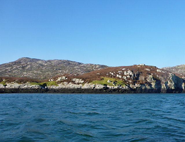
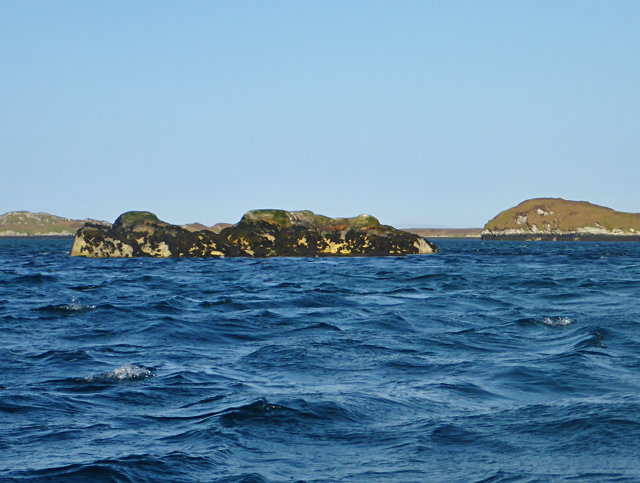
Eilean Airigh na Hoe is a small island located in the Inverness-shire region of Scotland. Situated in the Inner Hebrides, it is part of the Inner Sound archipelago. The island covers an area of approximately 0.4 hectares and is surrounded by the crystal-clear waters of the Atlantic Ocean.
Eilean Airigh na Hoe is characterized by its rugged and rocky terrain, with a few patches of grass and heather scattered across the island. It is home to a variety of plant species, including sea pinks, thrift, and sea campion, which add vibrant colors to the landscape during the summer months.
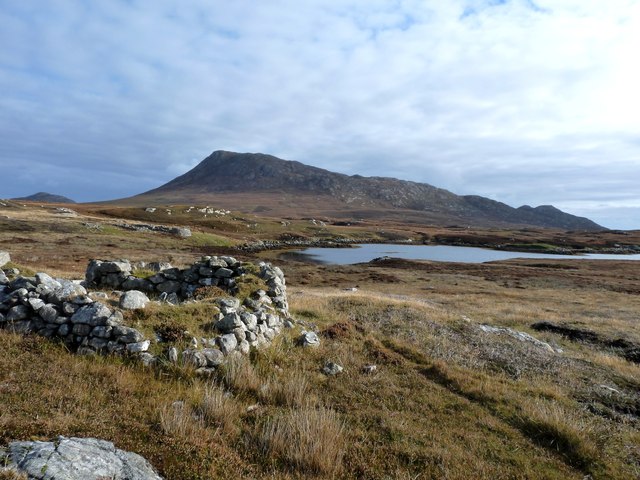
The island is uninhabited and lacks any permanent structures or facilities. However, it has a rich history, with evidence of ancient settlements and burial grounds dating back thousands of years. Archaeological findings suggest that the island was once used for farming and fishing activities by early inhabitants.
The island's remote location and natural beauty make it an ideal spot for nature enthusiasts and photographers. It offers breathtaking views of the surrounding sea and nearby islands, as well as opportunities for birdwatching, fishing, and wildlife spotting. Visitors can often observe seals, dolphins, and various seabirds in their natural habitats.
Access to Eilean Airigh na Hoe is possible by private boat or by arranging a guided tour from nearby towns such as Ullapool or Gairloch. It is important for visitors to respect the island's fragile ecosystem and leave no trace to preserve its natural beauty for future generations.
If you have any feedback on the listing, please let us know in the comments section below.
Eilean Airigh na Hoe Images
Images are sourced within 2km of 57.505597/-7.2159188 or Grid Reference NF8758. Thanks to Geograph Open Source API. All images are credited.


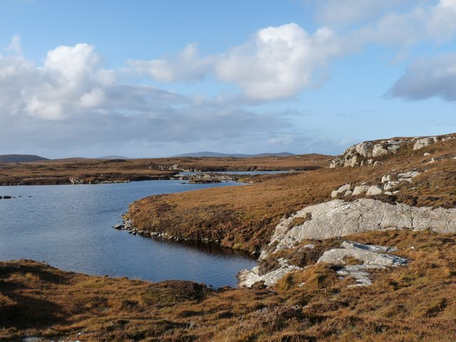
![Sandy inlet on the coast of Grimsay One of a maze of inlets and channels around Grimsay. This view is interesting as there are remains of old field walls [possibly iron age/centre picture] visible in the sand, indicating a lower sea level at some time. Cloud capped Eabhal rises in the distance.](https://s2.geograph.org.uk/geophotos/03/06/37/3063738_51fd0f96.jpg)

Eilean Airigh na Hoe is located at Grid Ref: NF8758 (Lat: 57.505597, Lng: -7.2159188)
Unitary Authority: Na h-Eileanan an Iar
Police Authority: Highlands and Islands
What 3 Words
///forklift.gloves.solder. Near Balivanich, Na h-Eileanan Siar
Related Wikis

Fraoch-Eilean
Fraoch-eilean is a small island with an uncertain population north of Benbecula in the Outer Hebrides of Scotland. It is about 55 hectares (140 acres...

Grimsay
Grimsay (Scottish Gaelic: Griomasaigh) is a tidal island in the Outer Hebrides of Scotland. == Geography == Grimsay is the largest of the low-lying stepping...

Baile Glas
Baile Glas or Ballaglasa (Scottish Gaelic: Am Baile Glas) is a settlement on Grimsay in the Outer Hebrides, Scotland. Ballaglasa is within the parish of...

Ronay
Ronay (Scottish Gaelic: Rònaigh) is an island in the Outer Hebrides of Scotland, which lies a short distance off the east coast of Grimsay. == Geography... ==
Have you been to Eilean Airigh na Hoe?
Leave your review of Eilean Airigh na Hoe below (or comments, questions and feedback).