Black Rocks
Island in Cornwall
England
Black Rocks

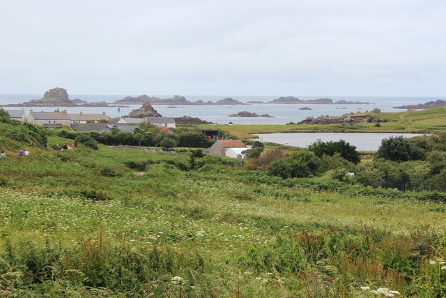
Black Rocks is a small island located off the coast of Cornwall, England. It is situated approximately 1.5 kilometers southwest of the popular tourist destination, Kynance Cove. The island is part of the Lizard Peninsula, known for its rugged coastline and stunning natural beauty.
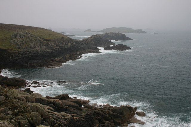
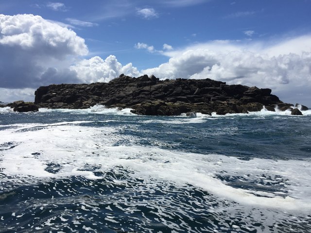
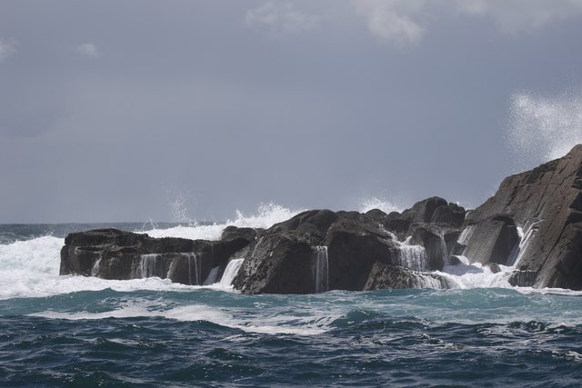
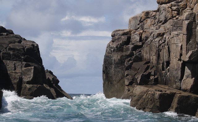
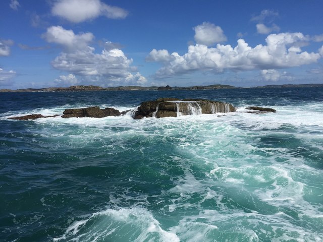
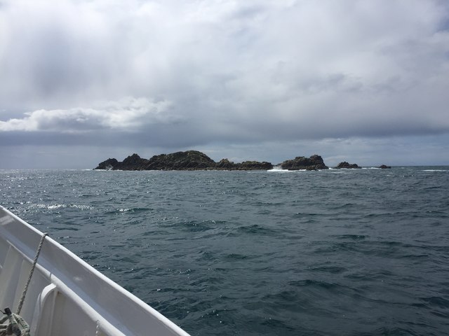
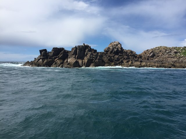
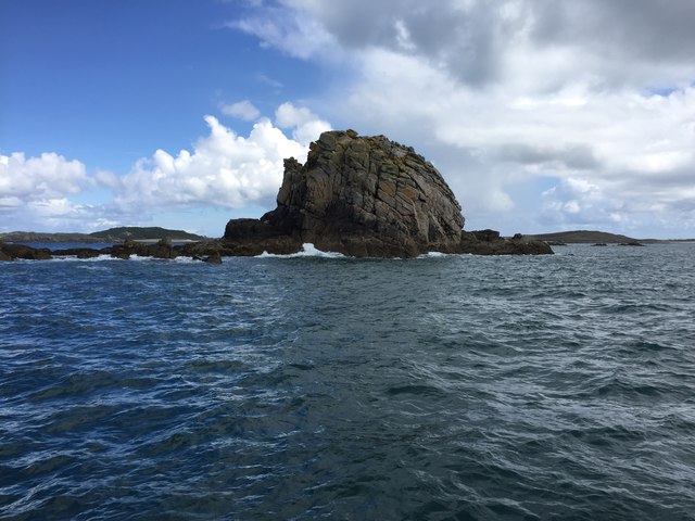
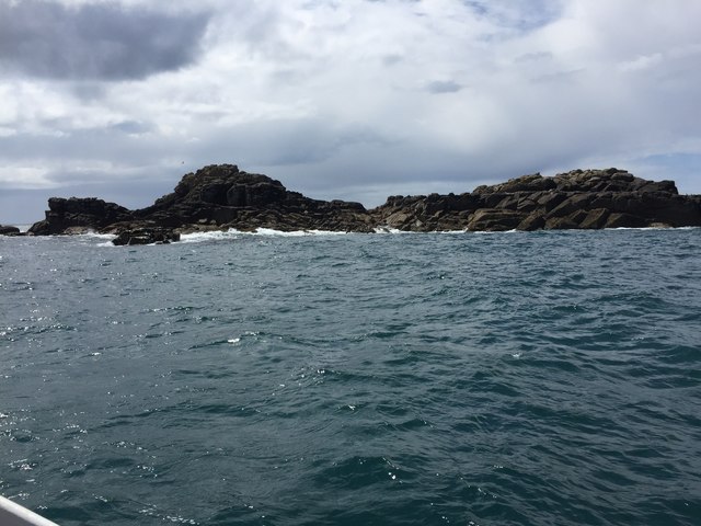
Black Rocks is characterized by its distinctive rocky terrain, featuring dark-colored granite cliffs and jagged formations that give the island its name. The island is relatively small, measuring approximately 200 meters in length and 100 meters in width. It is accessible during low tide via a narrow causeway that connects it to the mainland, but becomes completely submerged during high tide.
The island is a popular destination for nature enthusiasts and photographers, who are drawn to its unique geological features and the breathtaking views it offers. It is also home to a variety of seabirds, including gulls, cormorants, and fulmars, making it a haven for birdwatching.
Due to its proximity to Kynance Cove, visitors often combine a trip to Black Rocks with a visit to the cove, enjoying the picturesque coastal walks and exploring the nearby beaches. The area is also known for its rich marine life, attracting snorkelers and divers who are eager to explore the underwater world of the surrounding waters.
Although Black Rocks may be small in size, it is a significant part of Cornwall's natural heritage, offering visitors a chance to immerse themselves in the beauty of the region's coastline and its diverse ecosystem.
If you have any feedback on the listing, please let us know in the comments section below.
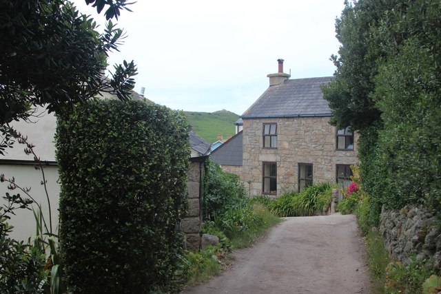
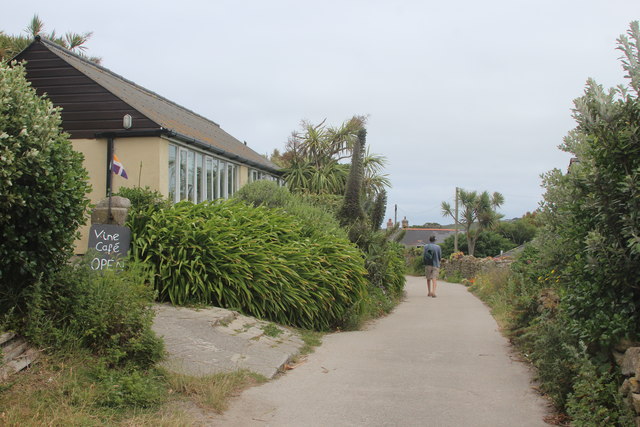
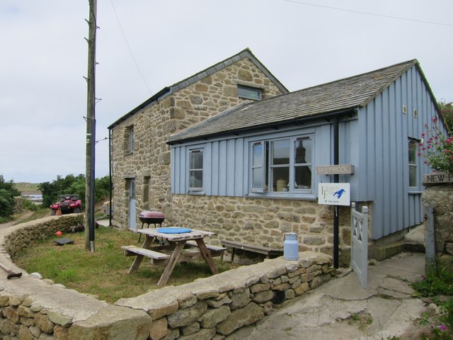
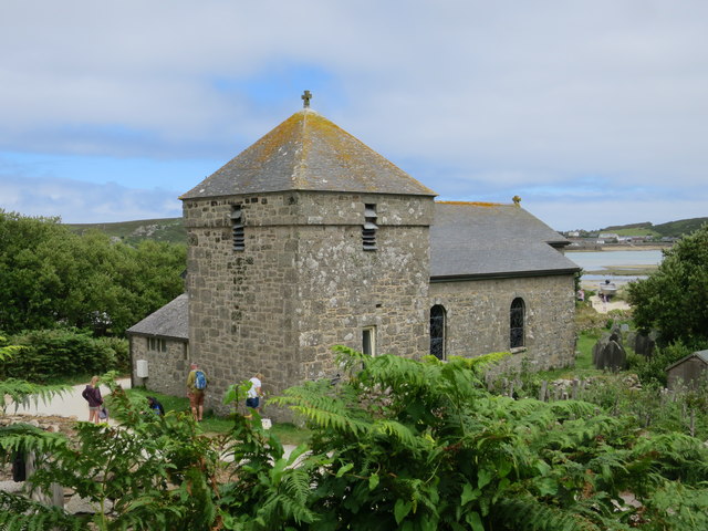
Black Rocks Images
Images are sourced within 2km of 49.948275/-6.3782704 or Grid Reference SV8614. Thanks to Geograph Open Source API. All images are credited.

Black Rocks is located at Grid Ref: SV8614 (Lat: 49.948275, Lng: -6.3782704)
Division: Isles of Scilly
Unitary Authority: Isles of Scilly
Police Authority: Devon and Cornwall
What 3 Words
///arriving.hardens.forgotten. Near Bryher, Isles of Scilly
Nearby Locations
Related Wikis

Gweal, Isles of Scilly
Gweal ( GWEEL; Cornish: Gwydhyel, lit. 'place of trees') is one of the Isles of Scilly. It is the largest of the seven Norrard Rocks due west of Bryher...
Norrard Rocks
The Norrard (Northern) Rocks are a group of small uninhabited granite rocks in the north–western part of the Isles of Scilly, to the west of Bryher and...

Bryher
Bryher (Cornish: Breyer, lit. 'place of hills') is one of the smallest inhabited islands of the Isles of Scilly, with a population of 84 in 2011, spread...

All Saints' Church, Bryher
All Saints' Church is a Grade II listed parish church in the Church of England located in Bryher, Isles of Scilly. == History == Bryher is the most westerly...
Have you been to Black Rocks?
Leave your review of Black Rocks below (or comments, questions and feedback).