Lingeigh

Island in Inverness-shire

Scotland

Lingeigh

Cormorants on An Dubh-sgeir a Deas
Cormorants on An Dubh-sgeir a Deas Credit: Toby Speight

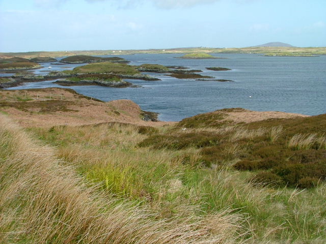
Lingeigh is a small island located in Inverness-shire, Scotland. It is situated in the Inner Hebrides archipelago, specifically in the Sound of Mull. The island is approximately 1.5 miles long and 1 mile wide, with a total area of around 400 acres.

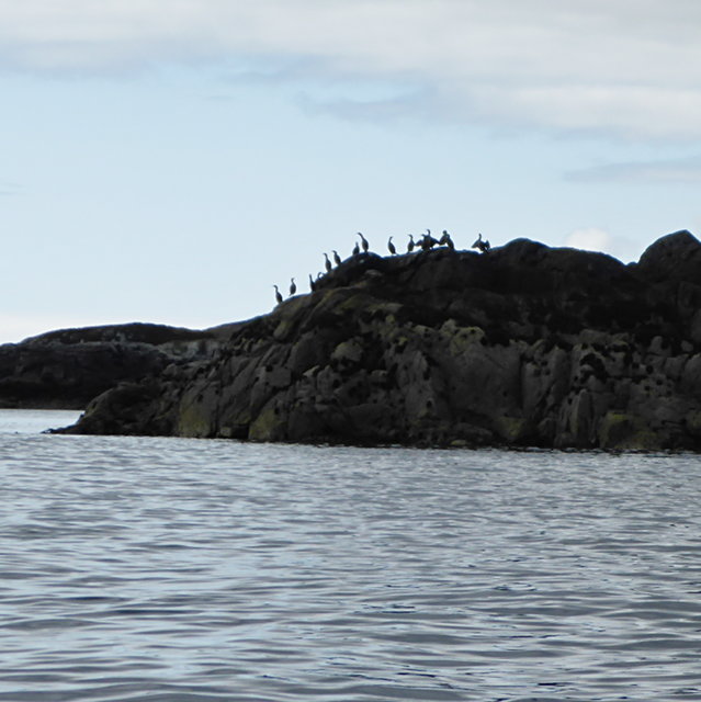
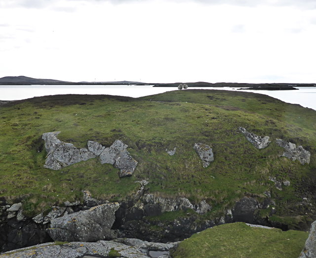
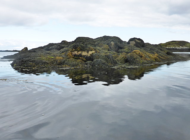
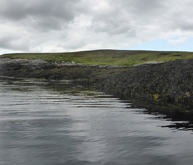
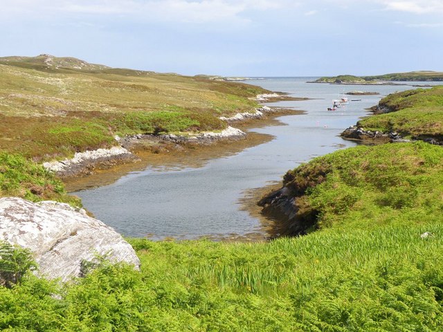
Lingeigh is known for its stunning natural beauty, with rugged coastline, sandy beaches, and rolling hills providing picturesque views for visitors. The island is sparsely populated, with only a handful of residents living in traditional stone cottages scattered throughout the landscape.

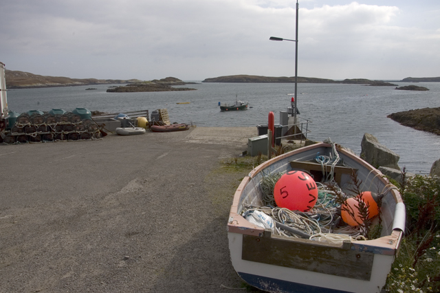
The main industries on Lingeigh are fishing and agriculture, with some residents also involved in tourism and hospitality. The island is a popular destination for outdoor enthusiasts, offering opportunities for hiking, birdwatching, and water sports such as kayaking and sailing.

Access to Lingeigh is primarily by boat, with regular ferry services connecting the island to the mainland. The closest town to Lingeigh is Tobermory on the Isle of Mull, where visitors can find amenities such as shops, restaurants, and accommodations. Overall, Lingeigh offers a peaceful and tranquil escape for those looking to experience the natural beauty of the Scottish Highlands.

If you have any feedback on the listing, please let us know in the comments section below.
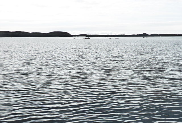
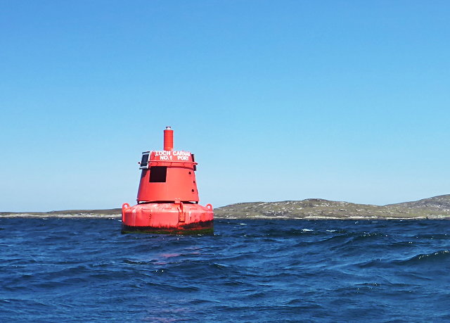
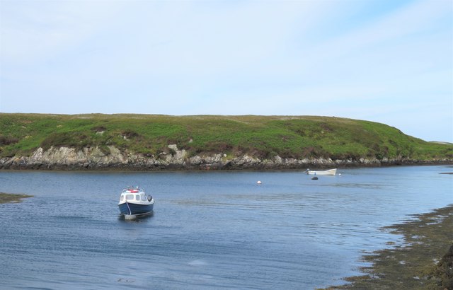
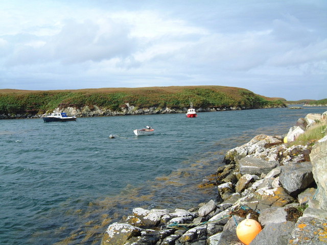
Lingeigh Images

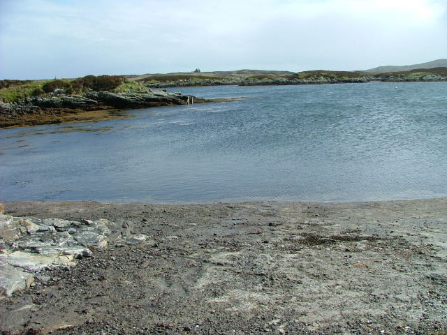
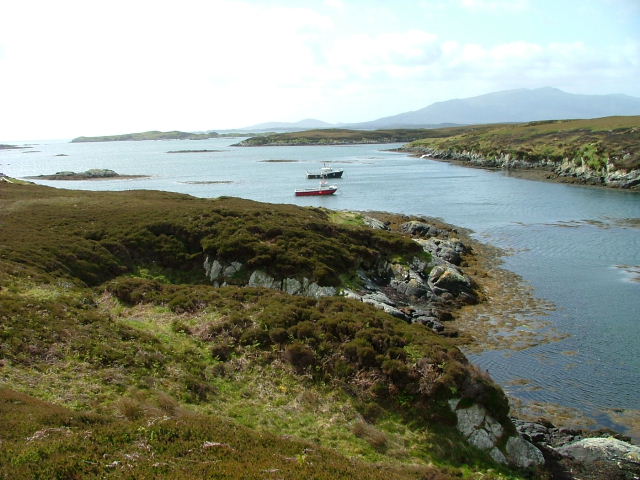
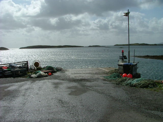
Images are sourced within 2km of 57.386227/-7.2347013 or Grid Reference NF8544. Thanks to Geograph Open Source API. All images are credited.
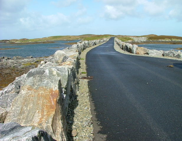
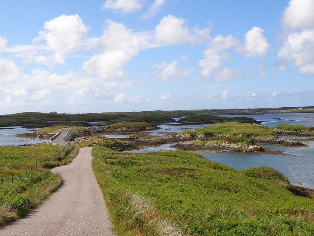
Cormorants on An Dubh-sgeir a Deas
Sheep on Reagam Even islands as small as this each support a handful of sheep for summer grazing.
Sheep on Reagam
Even islands as small as this each support a handful of sheep for summer grazing.
Tidal rock near Cleit Steiseigh
Cràraigh Mhor
Cràraigh Mhor
Steiseigh and nearby rocks This is a wide, shallow sea, with a big difference in what's visible at high and low tide.  Here, we're somewhere between the two, and a few rocks are already showing.
Steiseigh and nearby rocks
This is a wide, shallow sea, with a big difference in what's visible at high and low tide. Here, we're somewhere between the two, and a few rocks are already showing.
Loch Carnan no. 1 port-side channel buoy This is the most seaward of the marker buoys for Loch Carnan (excepting <a href="https://www.geograph.org.uk/photo/4974591">NF8843 : Loch nan Carnan Landfall Buoy</a>).  There are 4 port buoys and 2 starboard, with Port no. 2 and Starboard no. 1 paired.
Loch Carnan no. 1 port-side channel buoy
This is the most seaward of the marker buoys for Loch Carnan (excepting NF8843 : Loch nan Carnan Landfall Buoy). There are 4 port buoys and 2 starboard, with Port no. 2 and Starboard no. 1 paired.
Causeway by Loch Chill Eireabhaigh Compare with this similar view in 2008 [<a title="https://www.geograph.org.uk/photo/855856" href="https://www.geograph.org.uk/photo/855856">Link</a>].
Causeway by Loch Chill Eireabhaigh
Compare with this similar view in 2008 [Link].
Small boats at rest, Port Pheadair Small boats at anchor in the channel between Eilean na Cille and Fodragaigh. Would I be able to add the latter island to my growing list of island 'bags'? Not with the tide coming in and areas of exposed slippery rocks covered in weed.
Small boats at rest, Port Pheadair
Small boats at anchor in the channel between Eilean na Cille and Fodragaigh. Would I be able to add the latter island to my growing list of island 'bags'? Not with the tide coming in and areas of exposed slippery rocks covered in weed.
Port Pheadair Fodragaigh and sheltered moorings at the end of the B891, south-east Benbecula.
Port Pheadair
Fodragaigh and sheltered moorings at the end of the B891, south-east Benbecula.
Causeway on Loch Chill Eireabhaigh One of a number of causeways on the road to Port Pheadair.
Causeway on Loch Chill Eireabhaigh
One of a number of causeways on the road to Port Pheadair.
Loch Chill Eireabhaigh Looking northeast from the southeastern end of the causeway.
Loch Chill Eireabhaigh
Looking northeast from the southeastern end of the causeway.
Port Pheadair At Fodragaigh.
Port Pheadair
At Fodragaigh.
Pier Port Pheadair.
Pier
Port Pheadair.
Islands off Port Pheadair From Eilean na Cille.
Islands off Port Pheadair
From Eilean na Cille.
Port Pheadair Looking down the small inlet that runs by Port Pheadair
Port Pheadair
Looking down the small inlet that runs by Port Pheadair
Causeway by Loch Chill Eireabhaigh This is the road that leads down to Port Pheadair
Causeway by Loch Chill Eireabhaigh
This is the road that leads down to Port Pheadair
Pier at Port Pheadair
Picnic site on the road to Port Pheadair Health and safety gone mad
Picnic site on the road to Port Pheadair
Health and safety gone mad
Show me another place!

Lingeigh is located at Grid Ref: NF8544 (Lat: 57.386227, Lng: -7.2347013)

Unitary Authority: Na h-Eileanan an Iar

Police Authority: Highlands and Islands

What 3 Words

///twins.plankton.rods. Near Balivanich, Na h-Eileanan Siar

Nearby Locations

Lingeigh

Related Wikis

Eilean na Cille

Eilean na Cille, south east of Benbecula is an island of the Outer Hebrides connected to Grimsay (South) by a causeway which carries the B891. The road...

Wiay, Outer Hebrides

Wiay (Scottish Gaelic: Bhuia or Fuidheigh) is an uninhabited island in the Outer Hebrides. It lies south-east of Benbecula and measures approximately...

Eileanan Chearabhaigh

Eileanan Chearabhaigh is a collection of small uninhabited tidal islands off the south east coast of Benbecula in the Outer Hebrides of Scotland. The English...

Grimsay (South East Benbecula)

Grimsay, south east of Benbecula is a tidal island of the Outer Hebrides. It is connected to Benbecula by a causeway which carries the B891. In the 2001...

Nearby Amenities

Located within 500m of 57.386227,-7.2347013
Seamark Buoy Lateral Category: starboard
Seamark Buoy Lateral Colour: green
Seamark Buoy Lateral Shape: conical
Seamark Type: buoy_lateral
Source: survey
Lat/Long: 57.3884026/-7.2369926
The data included in this document is from www.openstreetmap.org. The data is made available under ODbL.

Have you been to Lingeigh?

Leave your review of Lingeigh below (or comments, questions and feedback).