Rosevear
Island in Cornwall
England
Rosevear
Rosevear is a small island located off the coast of Cornwall, England. It is situated in the Atlantic Ocean, approximately 2 miles southwest of the town of St Mawes. The island covers an area of around 23 acres and is known for its picturesque beauty and tranquil atmosphere.
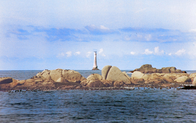
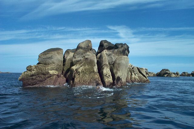
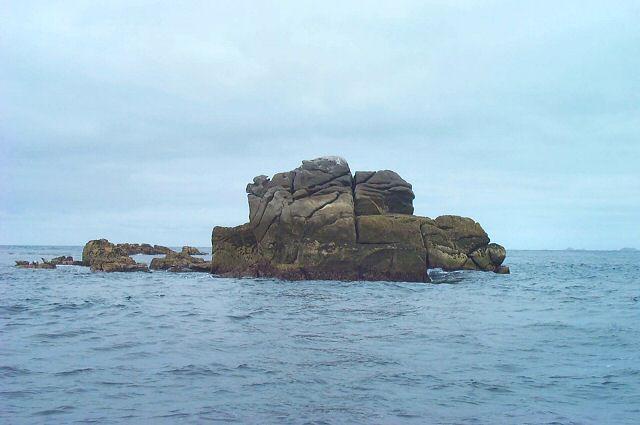
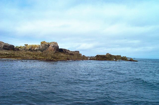
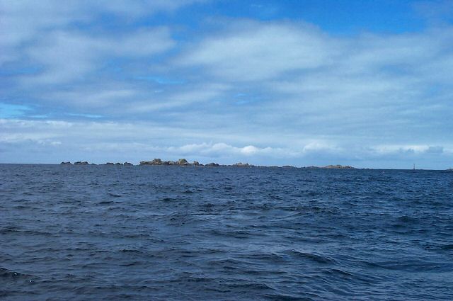
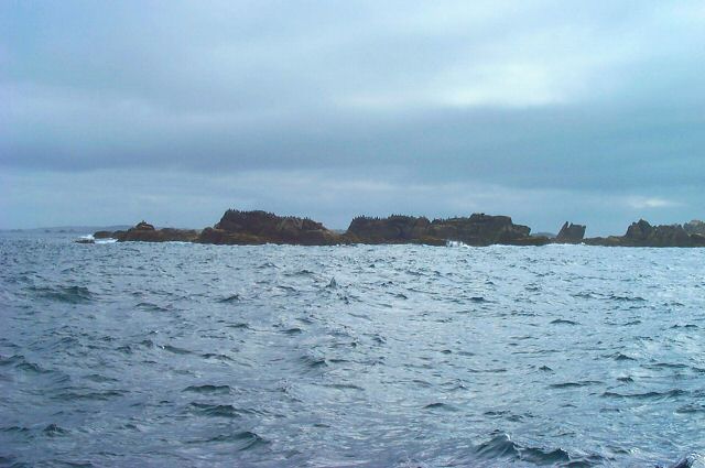
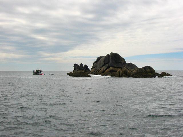
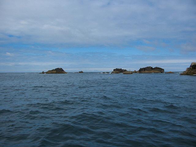
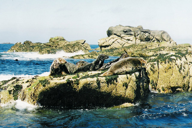
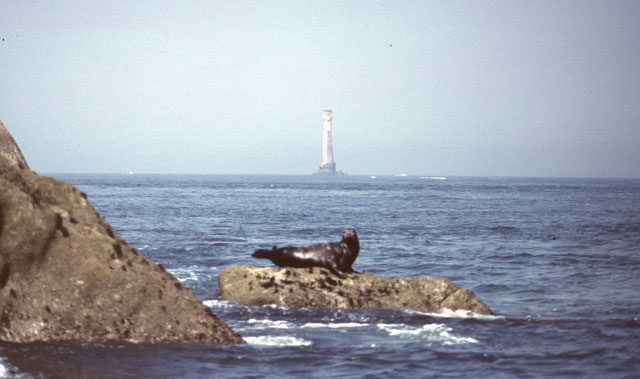
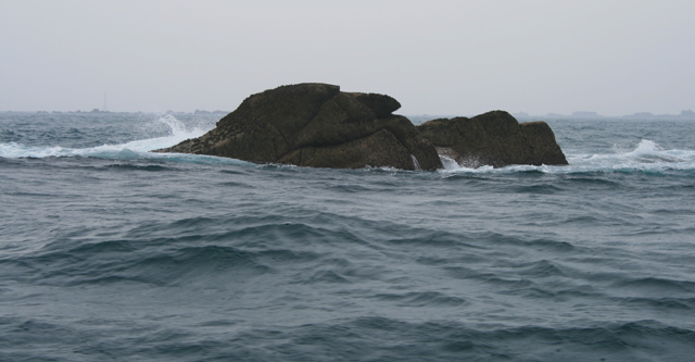
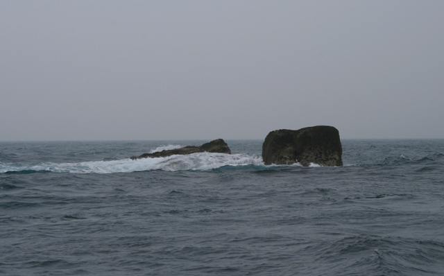
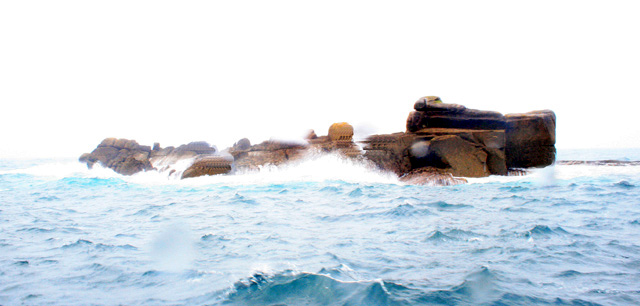
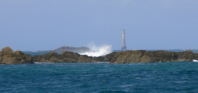
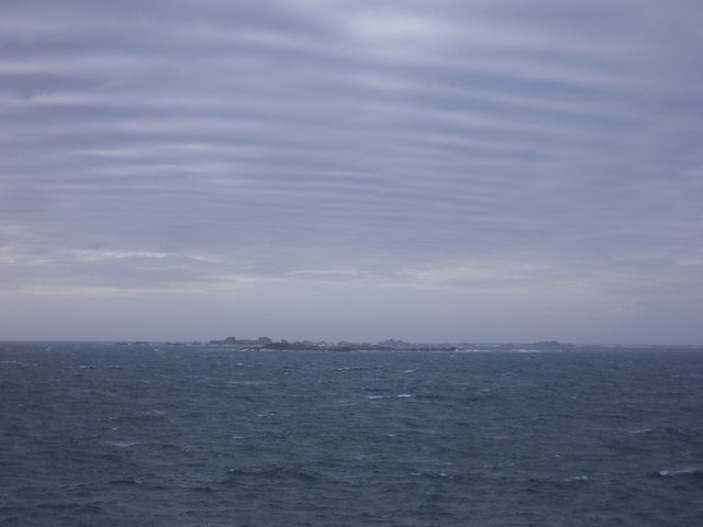
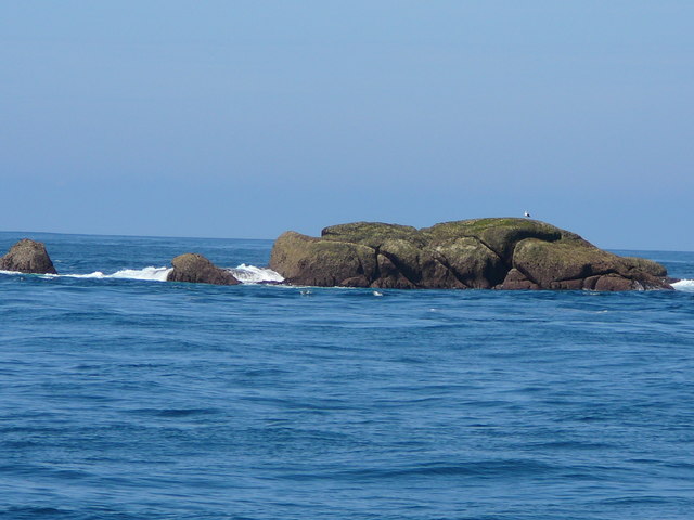
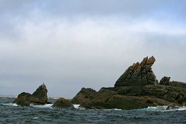
Rosevear is characterized by its rugged coastline, with cliffs that offer breathtaking views of the surrounding sea. The island is home to a variety of wildlife, including seabirds such as puffins and gulls, as well as seals that can often be spotted lounging on the rocks.
The island has a long history, dating back to the Bronze Age. Archaeological remains, including a burial chamber, have been found on the island, indicating its early settlement. In the 19th century, Rosevear was primarily used for farming and fishing, with a small population of residents.
Today, Rosevear is a popular destination for nature lovers and those seeking a peaceful retreat. The island is accessible by boat and offers visitors the opportunity to explore its natural beauty through hiking trails that wind through its rugged terrain. There are no permanent residents on the island, but it is occasionally used as a holiday destination and offers a few holiday cottages for rent.
Overall, Rosevear is a hidden gem in Cornwall, offering visitors a chance to escape the hustle and bustle of everyday life and immerse themselves in the stunning natural surroundings.
If you have any feedback on the listing, please let us know in the comments section below.
Rosevear Images
Images are sourced within 2km of 49.870129/-6.4009124 or Grid Reference SV8305. Thanks to Geograph Open Source API. All images are credited.

Rosevear is located at Grid Ref: SV8305 (Lat: 49.870129, Lng: -6.4009124)
Division: Isles of Scilly
Unitary Authority: Isles of Scilly
Police Authority: Devon and Cornwall
What 3 Words
///painters.drag.dreamers. Near St Agnes, Isles of Scilly
Nearby Locations
Related Wikis

Western Rocks, Isles of Scilly
The Western Rocks (Cornish: Karregi Gorlewen) are a group of uninhabited skerries and rocks in the south–western part of the Isles of Scilly, United Kingdom...

Rosevear
Rosevear (Cornish: Ros Veur "great promontory") is the largest (0.63 hectares (1.6 acres)) of the group of rocks known as the Western Rocks, Isles of Scilly...
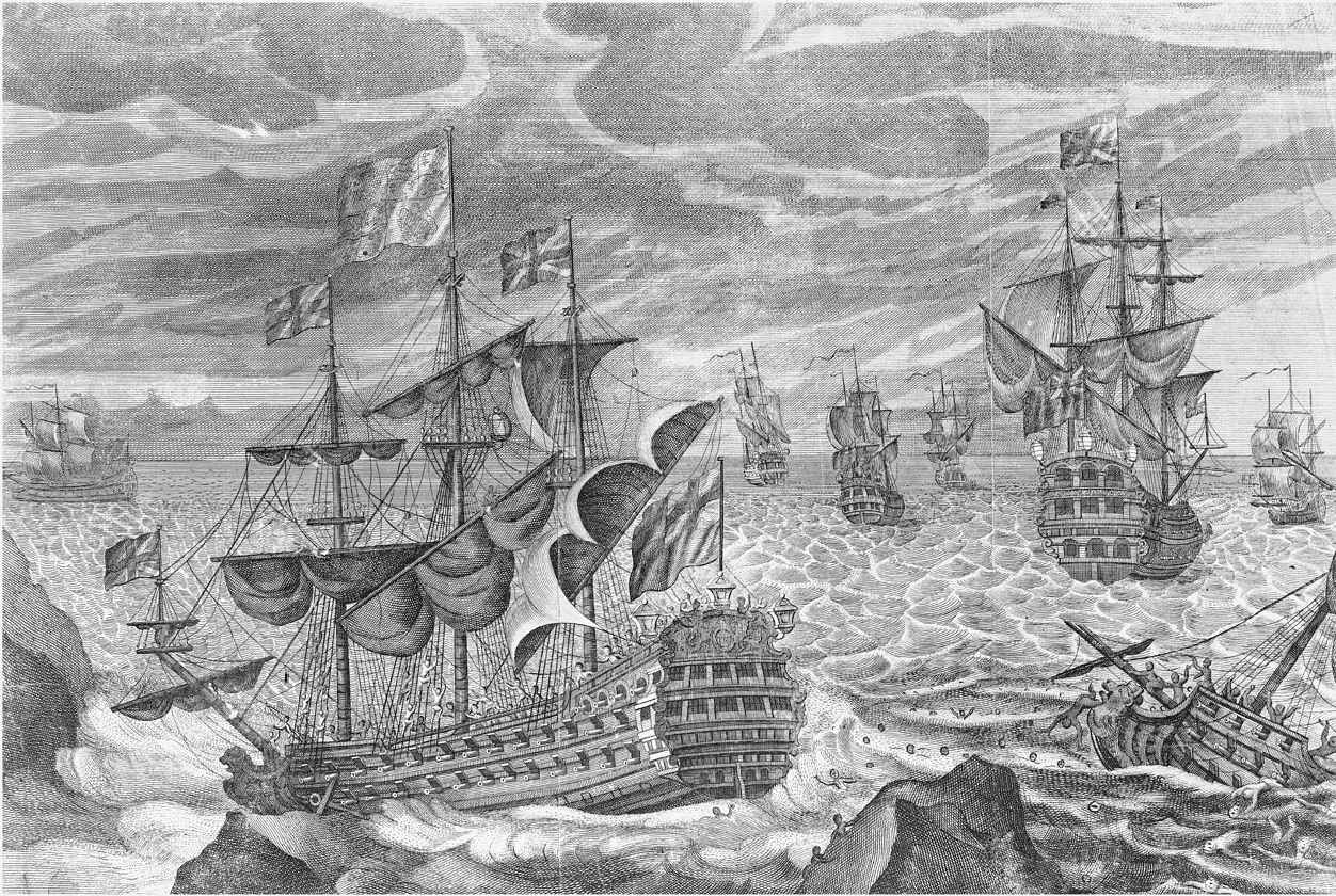
Scilly naval disaster of 1707
The Scilly naval disaster of 1707 was the loss of four warships of a Royal Navy fleet off the Isles of Scilly in severe weather on 22 October 1707. Between...

Pednathise Head
Pednathise Head is a skerry that is the southernmost point of England, the United Kingdom, and the British Isles if the Channel Islands are excluded. It...
Have you been to Rosevear?
Leave your review of Rosevear below (or comments, questions and feedback).