Orasaigh

Island in Inverness-shire

Scotland

Orasaigh

Rainbow over the machair Sunshine ahead of an impending rain shower.
Rainbow over the machair Credit: Alan Pickup

Orasaigh is a small island located in Inverness-shire, Scotland. Situated off the west coast of the Highlands, it is part of the Inner Hebrides archipelago. The island covers an area of approximately 3 square kilometers and is surrounded by the waters of the North Atlantic Ocean.

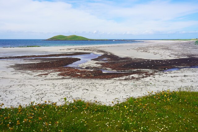
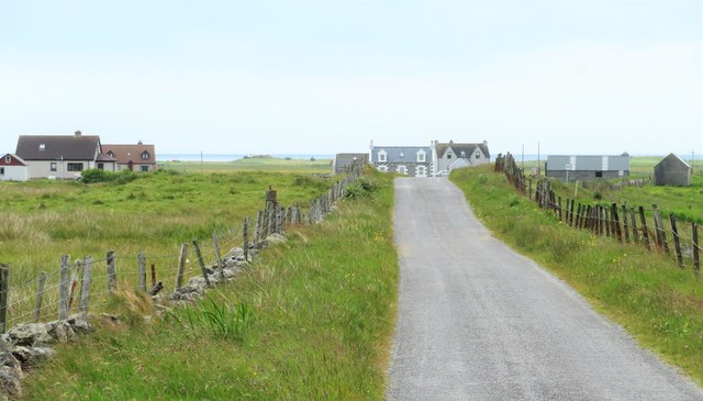
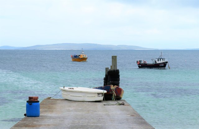
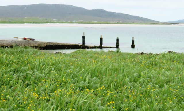
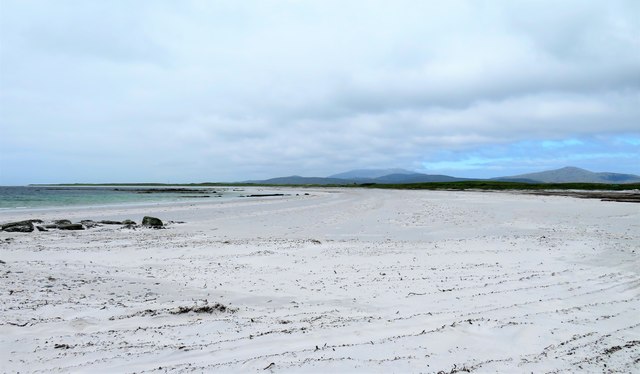
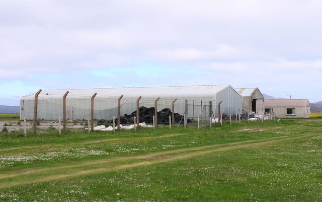
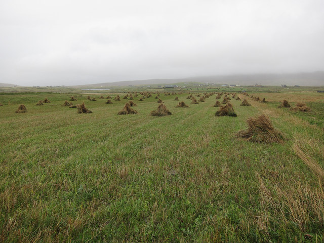
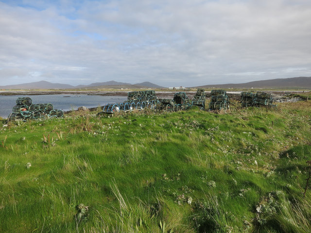
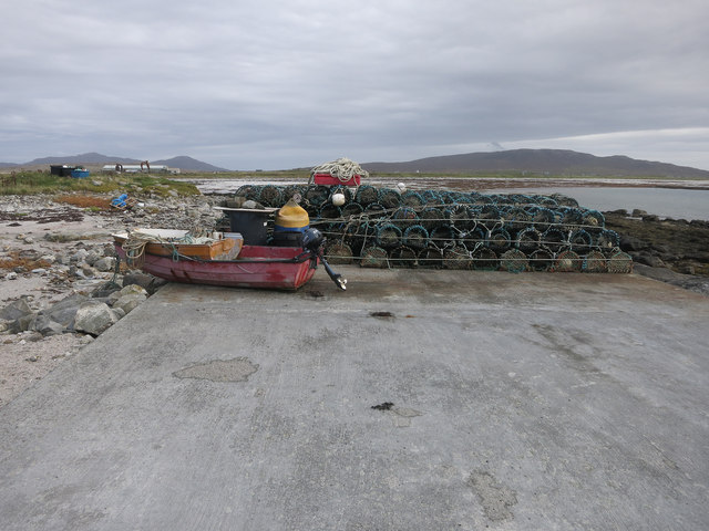
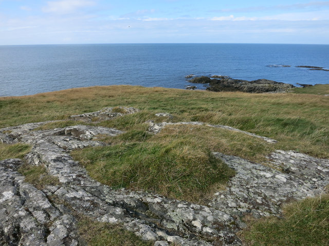
Orasaigh is sparsely populated, with only a handful of permanent residents. The island's terrain is rugged and characterized by rocky cliffs, rolling green hills, and a few small freshwater lochs. Its coastline is indented with numerous coves and inlets, providing shelter to small fishing boats.

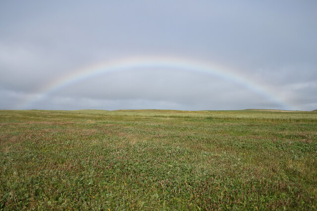
The island is rich in natural beauty and wildlife. It is home to a variety of bird species, including puffins, guillemots, and razorbills, making it a popular spot for birdwatching enthusiasts. The surrounding waters also support a diverse marine ecosystem, attracting seals and occasionally dolphins.

Although lacking in amenities, Orasaigh offers a peaceful and tranquil environment for visitors seeking solitude and a connection with nature. Hiking and walking trails crisscross the island, allowing visitors to explore its picturesque landscapes at their own pace. The island's remote location also makes it an ideal destination for stargazing, with minimal light pollution.

Access to Orasaigh is primarily by boat, with ferries operating from nearby ports. The island does not have any permanent shops or services, so visitors are advised to bring their own supplies. Despite its remoteness, Orasaigh is a hidden gem for those seeking a pristine natural retreat in the heart of Scotland's rugged coastline.

If you have any feedback on the listing, please let us know in the comments section below.

Orasaigh Images

Images are sourced within 2km of 57.129362/-7.4109212 or Grid Reference NF7217. Thanks to Geograph Open Source API. All images are credited.
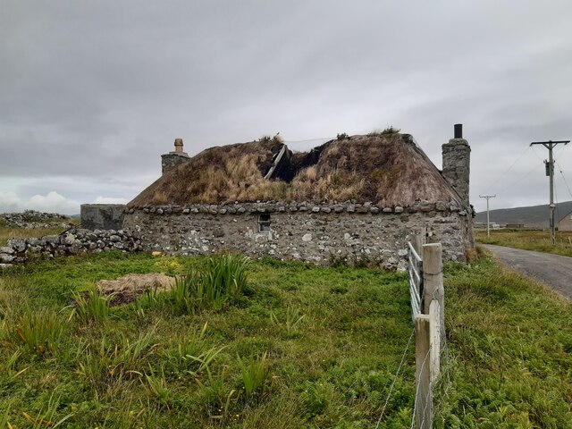
Rainbow over the machair Sunshine ahead of an impending rain shower.
Rainbow over the machair
Sunshine ahead of an impending rain shower.
Derelict croft house Derelict croft house at Geàrraidh na Mònadh.
Derelict croft house
Derelict croft house at Geàrraidh na Mònadh.
Beach at Garrynamonie Looking towards Orasaigh Island
Beach at Garrynamonie
Looking towards Orasaigh Island
Road to North Boisdale Heading along a minor road towards this South Uist crofting community.
Road to North Boisdale
Heading along a minor road towards this South Uist crofting community.
An Doirlinn jetty A tricky one to locate on the map, the largest available scale placing the jetty just within this square. The jetty is in an unusual place being attached to the tiny islet of An Doirlinn, halfway between 'mainland' South Uist and the offshore tidal island of Orasaigh. Access to the jetty and both islands depends on the state of the tide.
An Doirlinn jetty
A tricky one to locate on the map, the largest available scale placing the jetty just within this square. The jetty is in an unusual place being attached to the tiny islet of An Doirlinn, halfway between 'mainland' South Uist and the offshore tidal island of Orasaigh. Access to the jetty and both islands depends on the state of the tide.
Vegetation on Orasaigh There must be dozens of Orasaigh/Orasay/Oronsay etc islands around the west coast of Scotland, the name meaning a high tide island, which this one is. Perhaps the best known is Oronsay with its ruined priory at the SW end of Colonsay.
Vegetation on Orasaigh
There must be dozens of Orasaigh/Orasay/Oronsay etc islands around the west coast of Scotland, the name meaning a high tide island, which this one is. Perhaps the best known is Oronsay with its ruined priory at the SW end of Colonsay.
Traigh na Doirlinn Part of the huge sandy beach that stretches most of the way down the west coast of South Uist.
Traigh na Doirlinn
Part of the huge sandy beach that stretches most of the way down the west coast of South Uist.
The net station A smell of rotting seaweed in the air reminds one that this is the net station, where presumably fishing nets could be both manufactured and repaired. However, all is quiet here now apart from the clanging of corrugated iron in the wind, as the place seems deserted, no doubt due to the decline in traditional fishing from the Uists. The nearest building appears in good order, but those beyond are showing signs of decay.
The net station
A smell of rotting seaweed in the air reminds one that this is the net station, where presumably fishing nets could be both manufactured and repaired. However, all is quiet here now apart from the clanging of corrugated iron in the wind, as the place seems deserted, no doubt due to the decline in traditional fishing from the Uists. The nearest building appears in good order, but those beyond are showing signs of decay.
Abandoned house near Baghasdal [2] Twelve years on almost to the day I found myself taking the same view as that taken by Greg Morss in 2007. He reported that the roof was still sound, but now there are holes and further decay seems inevitable.
Abandoned house near Baghasdal [2]
Twelve years on almost to the day I found myself taking the same view as that taken by Greg Morss in 2007. He reported that the roof was still sound, but now there are holes and further decay seems inevitable.
South Boisdale: postbox № HS8 54 and phone These two red objects stand in a small enclosure, and face away from the road. The postbox is emptied at noon on weekdays and at 7:15am on Saturdays.
South Boisdale: postbox № HS8 54 and phone
These two red objects stand in a small enclosure, and face away from the road. The postbox is emptied at noon on weekdays and at 7:15am on Saturdays.
North Boisdale: postbox № HS8 50 This postbox is emptied at noon on weekdays and at 7:15am on Saturdays. It may have been moved here since the post office closed in around 2000 (it had originally opened in December 1949).
North Boisdale: postbox № HS8 50
This postbox is emptied at noon on weekdays and at 7:15am on Saturdays. It may have been moved here since the post office closed in around 2000 (it had originally opened in December 1949).
Tree trunks in the dunes Collected off the beach but then left and not used.
Tree trunks in the dunes
Collected off the beach but then left and not used.
Nissen hut on the machair North of Smeircleit.
Nissen hut on the machair
North of Smeircleit.
Stooks on the machair Traditional harvesting on the South Uist machair.
Stooks on the machair
Traditional harvesting on the South Uist machair.
Lobster pots, Orasaigh
Hardstanding at top of slipway With a small boat and a pile of lobster pots.
Hardstanding at top of slipway
With a small boat and a pile of lobster pots.
Looking out from Orasaigh A tidal island on the west coast of South Uist.
Looking out from Orasaigh
A tidal island on the west coast of South Uist.
Kelp on the beach In contrast to <a href="https://www.geograph.org.uk/photo/1340753">NF7218 : Beach near Cille Pheadair</a> there is plenty of kelp. This is a bit smelly, but provides lots of food for migrating birds.
Kelp on the beach
In contrast to NF7218 : Beach near Cille Pheadair there is plenty of kelp. This is a bit smelly, but provides lots of food for migrating birds.
Show me another place!

Orasaigh is located at Grid Ref: NF7217 (Lat: 57.129362, Lng: -7.4109212)

Unitary Authority: Na h-Eileanan an Iar

Police Authority: Highlands and Islands

What 3 Words

///amid.fish.chatters. Near Lochboisdale, Na h-Eileanan Siar

Nearby Locations

Orasaigh

Related Wikis

Loch Hallan

Loch Hallan (Scottish Gaelic: Loch Thallan) is a loch (lake) in the Outer Hebrides, Scotland. It is located in the parish of South Uist, approximately...

Cladh Hallan

Cladh Hallan (Scottish Gaelic: Cladh Hàlainn, Scottish Gaelic pronunciation: [kʰl̪ˠɤɣ ˈhaːl̪ˠɪɲ]) is an archaeological site on the island of South Uist...

Easaval

Easaval (Scottish Gaelic: Easabhal) is one of the smallest hills on the island of South Uist in the Outer Hebrides of Scotland, with a height of 243 metres...

Daliburgh

Daliburgh (Scottish Gaelic: Dalabrog) is a crofting township on South Uist, in the Outer Hebrides, Scotland. Daliburgh is situated 1+1⁄2 miles (2.5 kilometres...

Have you been to Orasaigh?

Leave your review of Orasaigh below (or comments, questions and feedback).