Am Monadh Dubh
Range Of Mountains, Range Of Hills in Argyllshire
Scotland
Am Monadh Dubh
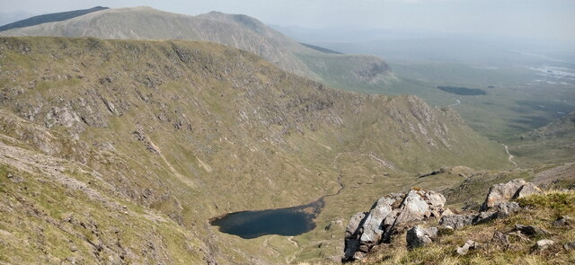
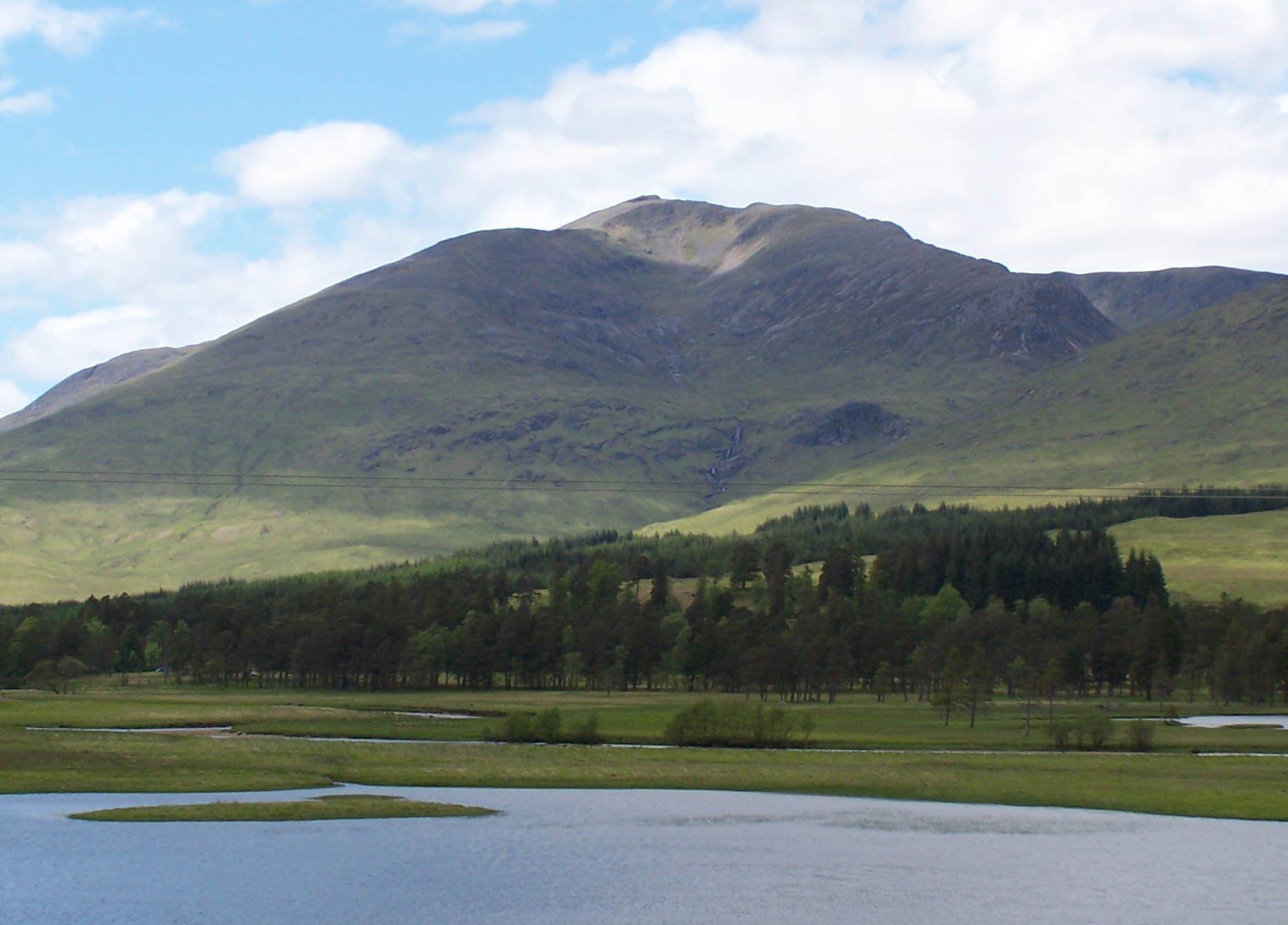
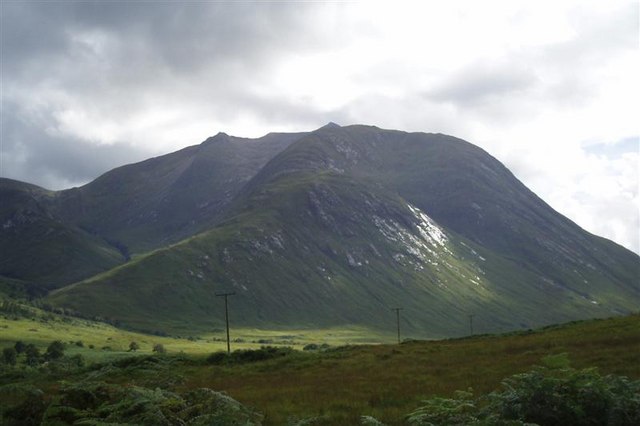
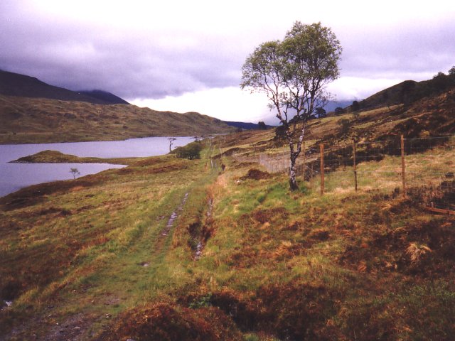
Am Monadh Dubh, also known as the Black Mountains, is a range of mountains located in Argyllshire, Scotland. Stretching across the western part of the region, this range is renowned for its rugged beauty and stunning landscapes.
The Black Mountains are predominantly made up of ancient metamorphic rocks, which have been shaped and sculpted over millions of years by the forces of nature. As a result, the mountains display a variety of dramatic features, including steep cliffs, deep valleys, and sharp ridges. The highest peak in the range is Beinn Mhic Mhonaidh, standing at an impressive 961 meters (3,153 feet) above sea level.
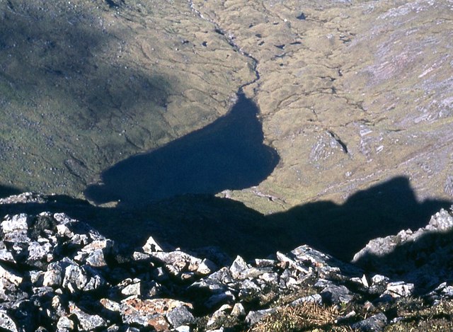
The range is covered in heather moorland, creating a rich mosaic of colors during the summer months. This habitat supports a diverse range of wildlife, including red deer, golden eagles, and various species of butterflies and wildflowers. The Black Mountains also have several freshwater lochs nestled in their valleys, providing a serene and picturesque setting.
Due to its remote location and challenging terrain, the Black Mountains attract outdoor enthusiasts and adventure seekers. Hiking and mountaineering are popular activities, with a variety of trails and routes available for different levels of experience. The range also offers opportunities for rock climbing, mountain biking, and wildlife spotting.
In conclusion, Am Monadh Dubh, or the Black Mountains, is a magnificent range of mountains in Argyllshire. With its breathtaking landscapes, diverse wildlife, and thrilling outdoor activities, it is a destination that captivates both nature lovers and thrill-seekers alike.
If you have any feedback on the listing, please let us know in the comments section below.
Am Monadh Dubh Images
Images are sourced within 2km of 56.587262/-4.880353 or Grid Reference NN2347. Thanks to Geograph Open Source API. All images are credited.


Am Monadh Dubh is located at Grid Ref: NN2347 (Lat: 56.587262, Lng: -4.880353)
Unitary Authority: Highland
Police Authority: Highlands and Islands
Also known as: The Black Mount
What 3 Words
///drilled.mini.flickers. Near Glencoe, Highland
Nearby Locations
Related Wikis
Stob Ghabhar
Stob Ghabhar is a mountain in the Scottish Highlands, part of the Black Mount group. It is a Munro with a height of 1,089.2 metres (3,573 ft). Stob Ghabhar...
Beinn Mhic Chasgaig
Beinn Mhic Chasgaig (864 m) is a mountain in the Grampian Mountains of Scotland. It lies near the head of Glen Etive in Highland. A steep and craggy peak...

Stob a' Choire Odhair
Stob a' Choire Odhair is a Scottish mountain situated eight kilometres north west of Bridge of Orchy on the border of the Argyll and Bute and Highland...

Creise
Creise (Scottish Gaelic: A' Chrèise) is a mountain summit in the Black Mount range, in the Scottish Highlands. It overlooks the northern end of Glen Etive...

Meall a' Bhùiridh
Meall a' Bhùiridh (IPA:[ˈmauɫ̪ˈaˈvuːɾʲɪʝ]) is a mountain on the edge of Rannoch Moor in the Highlands of Scotland. It lies near the top of Glen Coe and...

Meall nan Eun (Munro)
Meall nan Eun (928.1 m) is a mountain in the Grampian Mountains of Scotland. It is located east of Glen Etive in Argyll and Bute. A dome like mountain...
Loch Dochard
Loch Dochard is an upland freshwater loch lying approximately 6 km (3.7 mi) west of Bridge of Orchy in Argyll and Bute, Scottish Highlands. The loch has...

Glencoe Ski area
Glencoe Mountain Resort (previously known as The White Corries Ski Centre) is a ski area that operates on the mountain Meall a' Bhuiridh in some of the...
Have you been to Am Monadh Dubh?
Leave your review of Am Monadh Dubh below (or comments, questions and feedback).