Denbigh Moors
Range Of Mountains, Range Of Hills in Denbighshire
Wales
Denbigh Moors
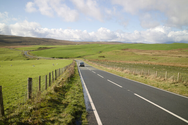
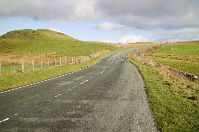
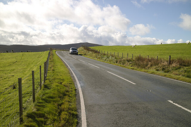
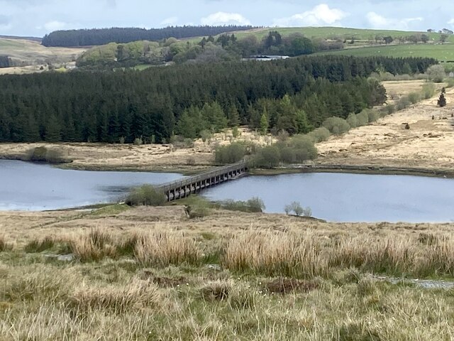
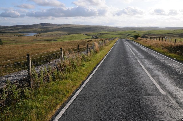
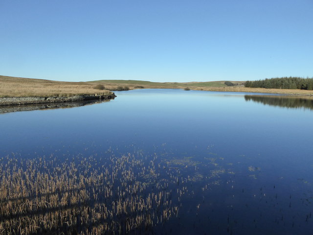
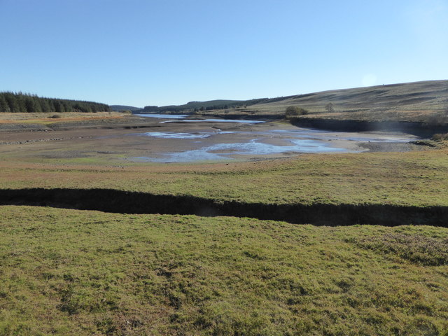
Denbigh Moors, located in Denbighshire, Wales, is a range of mountains and hills that stretches across approximately 50 square miles. Situated in the northern part of Wales, it forms part of the Clwydian Range and Dee Valley Area of Outstanding Natural Beauty.
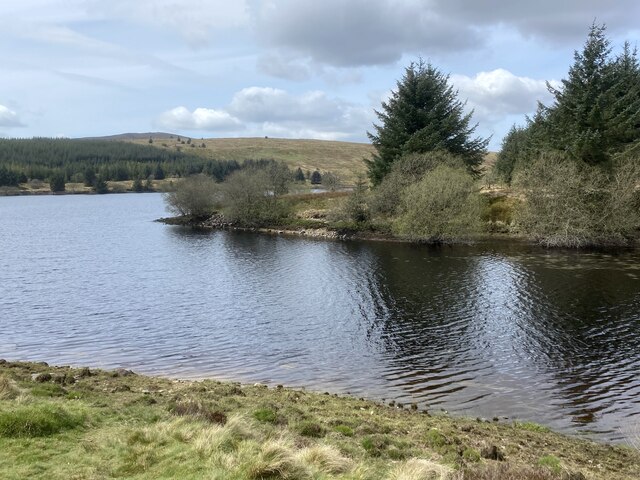
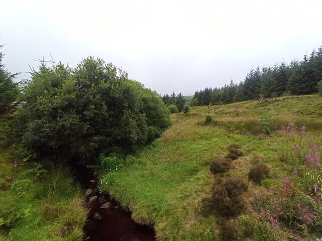
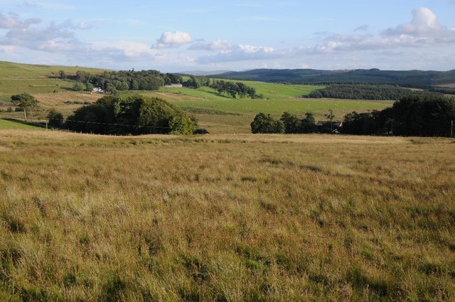
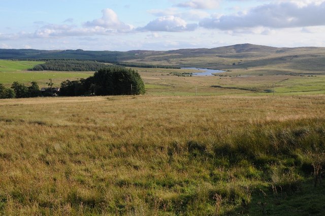
The landscape of Denbigh Moors is characterized by its rugged beauty and diverse terrain. The range is composed of a mixture of rolling hills, steep slopes, and rocky peaks, providing breathtaking views of the surrounding countryside. The highest point in the area is Moel Famau, which stands at an impressive 1,818 feet.
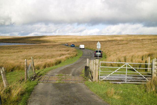
The moors are covered in a patchwork of heather, grasses, and bracken, creating a vibrant and colorful landscape, particularly during the summer months. The area is also home to a variety of wildlife, including birds of prey such as kestrels and peregrine falcons, as well as small mammals like rabbits and foxes.
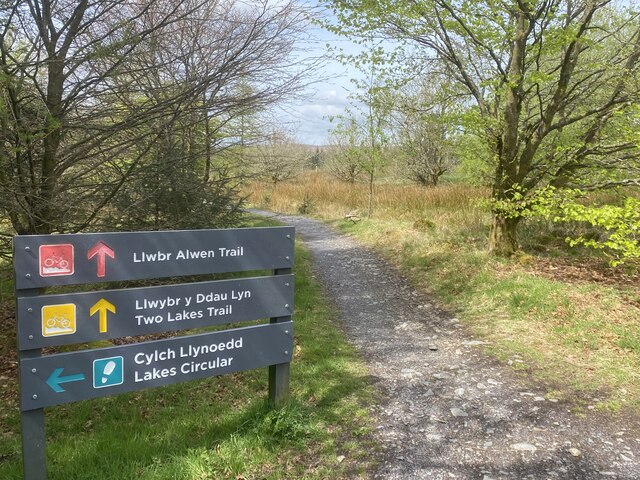
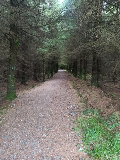
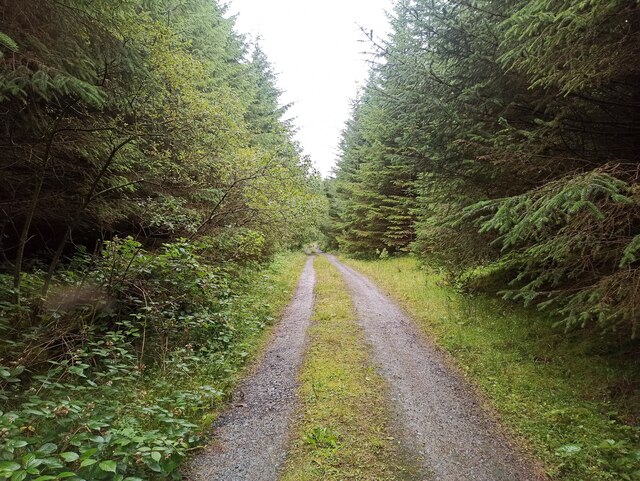
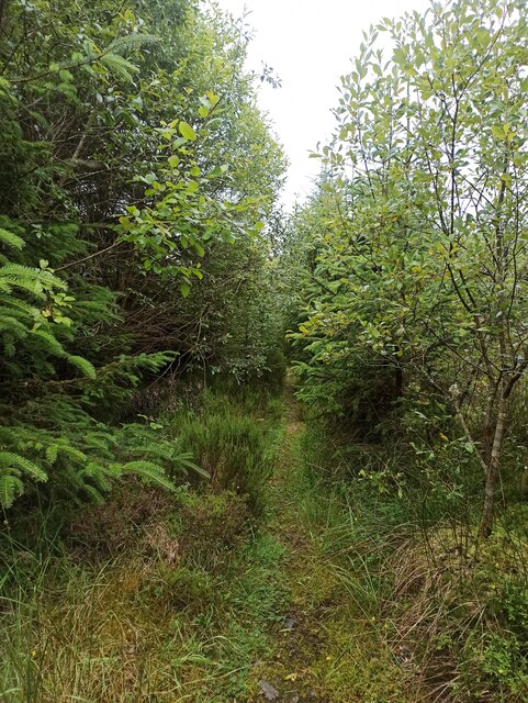
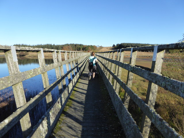
Denbigh Moors is a popular destination for outdoor enthusiasts and nature lovers. It offers a range of activities such as hiking, mountain biking, and birdwatching. There are several well-marked trails that crisscross the moors, providing opportunities for both leisurely walks and more challenging hikes.
In addition to its natural beauty, Denbigh Moors also has a rich historical and cultural heritage. The area is dotted with ancient monuments, including burial mounds and stone circles, which are remnants of its prehistoric past.
Overall, Denbigh Moors is a captivating and diverse landscape, offering visitors a chance to immerse themselves in the natural beauty and history of the region.
If you have any feedback on the listing, please let us know in the comments section below.
Denbigh Moors Images
Images are sourced within 2km of 53.095647/-3.5871534 or Grid Reference SH9356. Thanks to Geograph Open Source API. All images are credited.
Denbigh Moors is located at Grid Ref: SH9356 (Lat: 53.095647, Lng: -3.5871534)
Unitary Authority: Conwy
Police Authority: North Wales
Also known as: Mynydd Hiraethog
What 3 Words
///seasick.entry.deleting. Near Llangwm, Conwy
Nearby Locations
Related Wikis

Denbigh Moors
The Denbigh Moors (Welsh: Mynydd Hiraethog) are an upland region in Conwy and Denbighshire in the north of Wales, between Snowdonia and the Clwydian Range...

Hafod Elwy Moor National Nature Reserve
Hafod Elwy Moor National Nature Reserve, located in the moorland above the town of Denbigh in Denbighshire, North Wales, is part of the Mynydd Hiraethog...

Llyn Aled
Llyn Aled is a lake on Mynydd Hiraethog in the Conwy County Borough. It is situated north of the A543 and 7 kilometres (4.3 mi) to the north-east of the...

Mwdwl-eithin
Mwdwl-eithin (532 metres (1,745 ft)) is the highest point on the Denbigh Moors (Welsh: Mynydd Hiraethog) of North Wales. This gently rising mountain lies...
Nearby Amenities
Located within 500m of 53.095647,-3.5871534Have you been to Denbigh Moors?
Leave your review of Denbigh Moors below (or comments, questions and feedback).