Blackdown Hills
Range Of Mountains, Range Of Hills in Somerset Somerset West and Taunton
England
Blackdown Hills
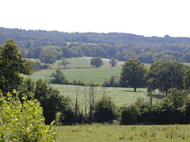
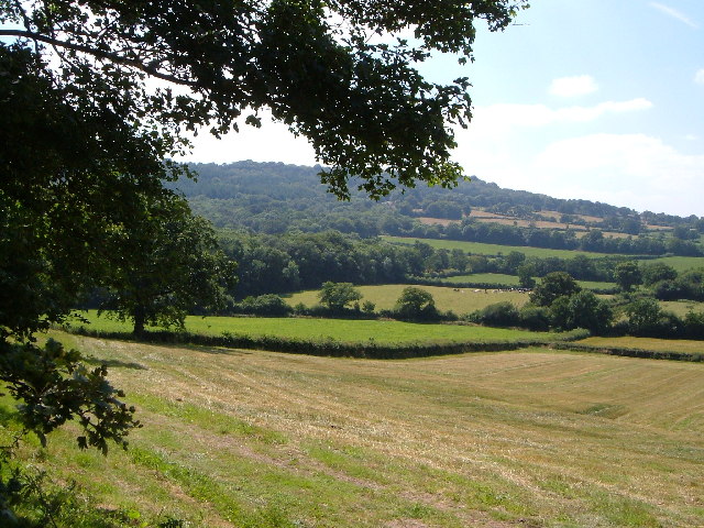
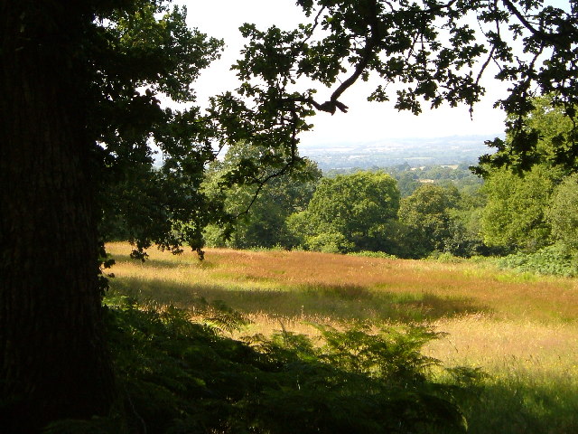
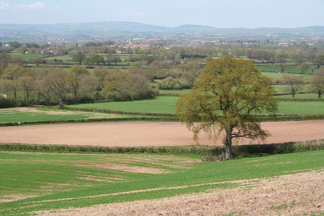
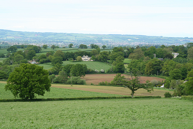
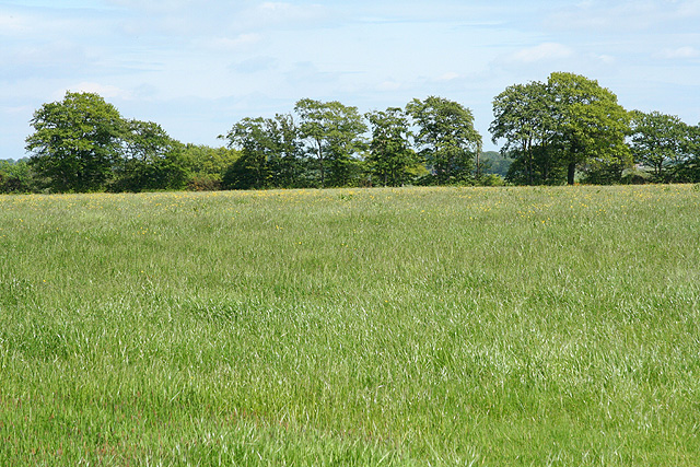
Blackdown Hills is a range of hills located in Somerset, England, stretching across an area of approximately 370 square kilometers. Situated between the counties of Devon and Somerset, it is known for its picturesque landscapes and diverse ecosystems. Despite its name, Blackdown Hills are actually a range of hills rather than mountains, with the highest peak, Staple Hill, standing at 315 meters above sea level.
The hills are predominantly composed of sandstone and limestone, giving rise to their characteristic rolling topography and steep slopes. The area is dissected by numerous small valleys and rivers, such as the River Culm and the River Otter, which add to the scenic charm of the landscape.
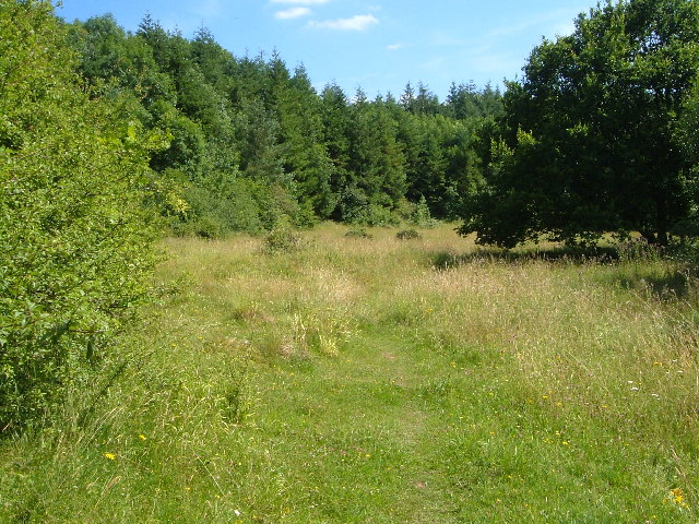
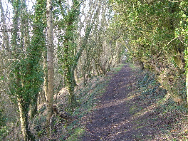
Blackdown Hills is renowned for its rich biodiversity and is designated as an Area of Outstanding Natural Beauty (AONB). The hills support a variety of habitats, including ancient woodlands, heathlands, and species-rich grasslands. This diversity of ecosystems provides a home to a wide range of flora and fauna, including several rare and protected species.
The area is also steeped in history, with evidence of human habitation dating back thousands of years. The hills are dotted with archaeological sites, such as hillforts, burial mounds, and ancient settlements, which provide glimpses into the region's past.
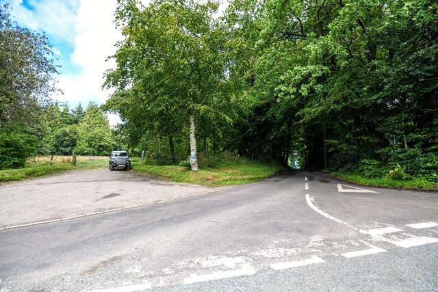
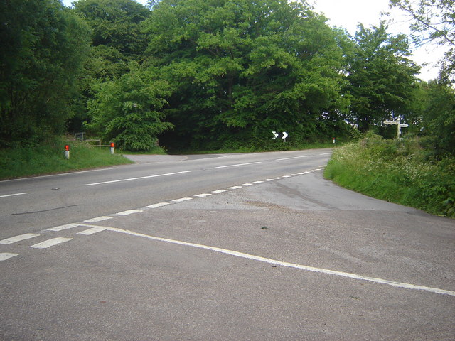
Blackdown Hills offers ample opportunities for outdoor activities and recreation. It is crisscrossed by an extensive network of footpaths and bridleways, making it a popular destination for walkers, hikers, and cyclists. The hills also attract nature enthusiasts, birdwatchers, and those seeking a tranquil escape from the bustle of urban life.
In summary, Blackdown Hills is a range of hills in Somerset known for its stunning natural beauty, diverse ecosystems, rich history, and recreational opportunities.
If you have any feedback on the listing, please let us know in the comments section below.
Blackdown Hills Images
Images are sourced within 2km of 50.943196/-3.1492403 or Grid Reference ST1916. Thanks to Geograph Open Source API. All images are credited.


Blackdown Hills is located at Grid Ref: ST1916 (Lat: 50.943196, Lng: -3.1492403)
Administrative County: Somerset
District: Somerset West and Taunton
Police Authority: Avon and Somerset
Also known as: Black Down Hills
What 3 Words
///selection.replied.preparing. Near Hemyock, Devon
Nearby Locations
Related Wikis

Leigh Reservoir
Leigh Reservoir, or Leigh Hill Reservoir, is a small reservoir in Somerset, England. It was built in 1893 to supply water to the town of Taunton, Somerset...

Quants Reserve
Quants Reserve is a nature reserve north west of Burnworthy in Somerset, England. It consists of a grassland clearing in a forestry plantation. It is well...

Luxhay Reservoir
Luxhay Reservoir is an artificial reservoir near Angersleigh, Somerset, England. It is now owned by Wessex Water. It was built in 1905 by the town corporation...

Ringdown SSSI, Somerset
Ringdown (grid reference ST178155) is a 4.0 hectare (9.9 acre) biological Site of Special Scientific Interest west of Burnworthy in the Blackdown Hills...

Churchstanton
Churchstanton is a village and civil parish in Somerset, England, situated within the Blackdown Hills Area of Outstanding Natural Beauty, on the River...

RAF Culmhead
Royal Air Force Culmhead or more simply RAF Culmhead is a former Royal Air Force station, situated at Churchstanton on the Blackdown Hills in Somerset...

Church of St Michael, Angersleigh
The Anglican Church of St Michael in Angersleigh, Somerset, England was built in the 14th century. It is a Grade II* listed building. == History == The...
Prior's Park & Adcombe Wood
Prior's Park & Adcombe Wood (grid reference ST225170) is a 103.6 hectare (256.0 acre) biological Site of Special Scientific Interest south of Pitminster...
Have you been to Blackdown Hills?
Leave your review of Blackdown Hills below (or comments, questions and feedback).