Cleveland Hills
Range Of Mountains, Range Of Hills in Yorkshire Hambleton
England
Cleveland Hills
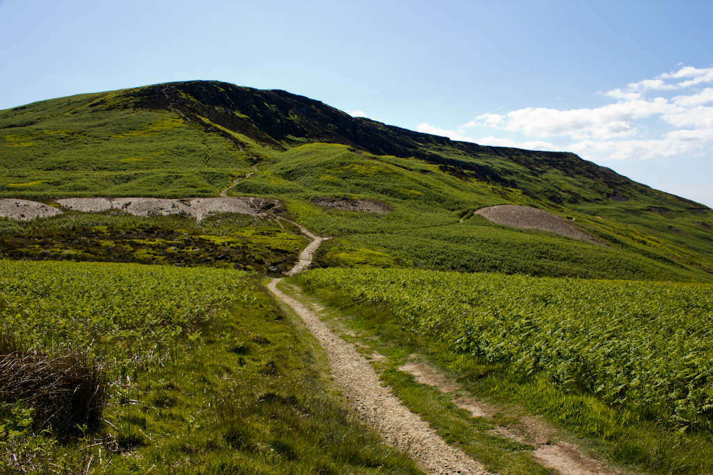
Cleveland Hills is a range of hills located in the county of Yorkshire, England. Situated within the larger North York Moors National Park, this range spans approximately 23 kilometers (14 miles) in length and can be found in the northern part of the park. The highest peak within the Cleveland Hills is Urra Moor, reaching an elevation of 454 meters (1,483 feet) above sea level.
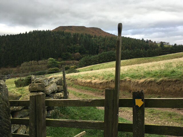
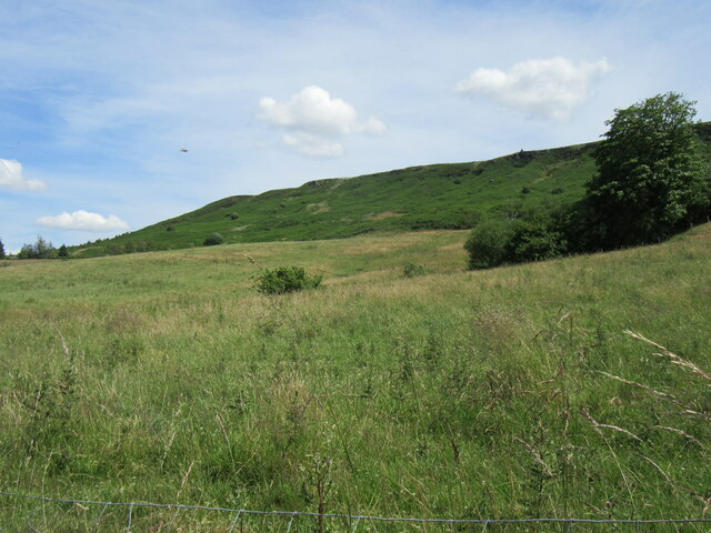
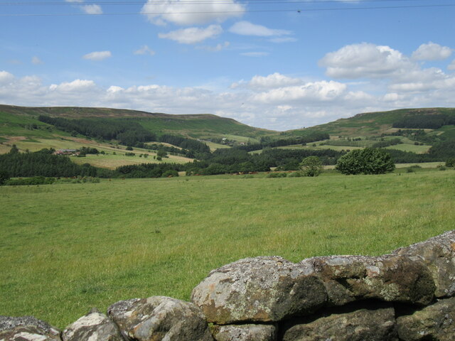
The landscape of the Cleveland Hills is characterized by rolling hills, deep valleys, and moorland, offering stunning panoramic views of the surrounding countryside. The hills are covered in heather and bracken, providing a rich and diverse habitat for various plant and animal species. It is not uncommon to spot wildlife such as red grouse, curlews, and golden plovers in the area.
Cleveland Hills is a popular destination for outdoor enthusiasts, offering a range of recreational activities. Hiking and walking trails crisscross the hills, providing opportunities for both leisurely strolls and more challenging treks. The Cleveland Way National Trail, a long-distance footpath, passes through the range, offering hikers the chance to explore the hills and enjoy breathtaking vistas along the way.
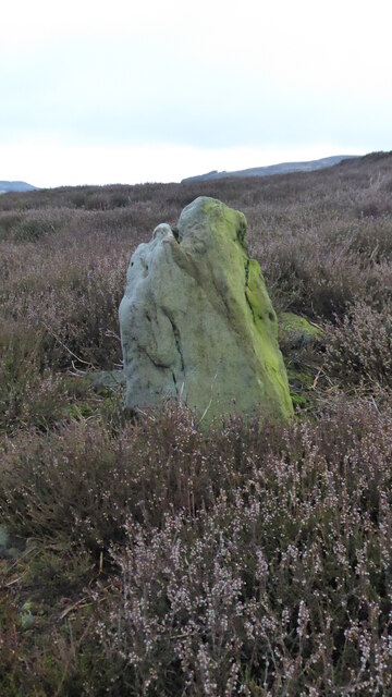
For those interested in history, the Cleveland Hills also hold archaeological significance. Iron Age hill forts and ancient burial mounds can be found scattered throughout the area, providing a glimpse into the region's past.
Overall, the Cleveland Hills in Yorkshire offer a picturesque and diverse landscape, attracting visitors with their natural beauty, recreational opportunities, and historical heritage.
If you have any feedback on the listing, please let us know in the comments section below.
Cleveland Hills Images
Images are sourced within 2km of 54.401636/-1.1363395 or Grid Reference NZ5601. Thanks to Geograph Open Source API. All images are credited.


Cleveland Hills is located at Grid Ref: NZ5601 (Lat: 54.401636, Lng: -1.1363395)
Division: North Riding
Administrative County: North Yorkshire
District: Hambleton
Police Authority: North Yorkshire
What 3 Words
///steady.latitudes.arming. Near Bilsdale, North Yorkshire
Nearby Locations
Related Wikis

Chop Gate
Chop Gate ( CHOP YAT) is a small village in the Hambleton district of North Yorkshire, England. The village lies within the North York Moors National Park...

Bilsdale Midcable
Bilsdale Midcable is a civil parish in North Yorkshire, England, which occupies the northern part of Bilsdale in the North York Moors National Park. According...
Cringle Moor
Cringle Moor (also known as Cranimoor), at 432 m (1,417 ft), is the third highest hill in the North York Moors, England, and the highest point west of...

Urra Moor
Urra Moor is the highest moor in the North York Moors, North Yorkshire, England. At 1,490 feet (454 m) above sea level it is the highest point in Hambleton...

Cleveland Hills
The Cleveland Hills are a range of hills on the north-west edge of the North York Moors in North Yorkshire, England, overlooking Cleveland and Teesside...
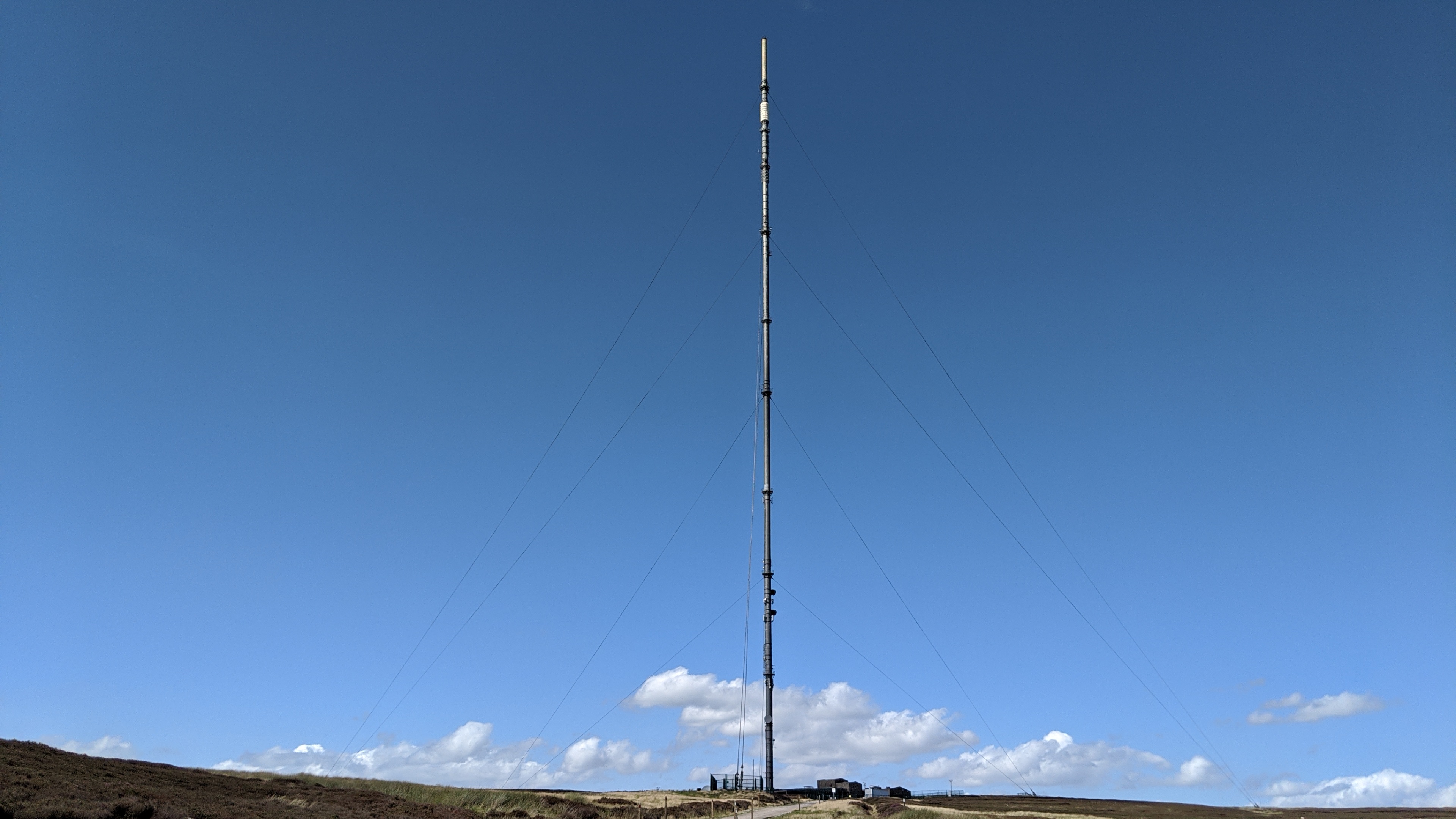
Bilsdale transmitting station
The Bilsdale transmitting station is a broadcasting and telecommunications facility, located at Bilsdale West Moor above Bilsdale, close to Helmsley, North...

Kirkby, North Yorkshire
Kirkby (historically known as Kirkby-in-Cleveland) is a village and civil parish in Hambleton district of North Yorkshire, England, near Great Busby and...
Great Broughton, North Yorkshire
Great Broughton is a village in the Great and Little Broughton civil parish of the Hambleton district of North Yorkshire in northern England. == History... ==
Nearby Amenities
Located within 500m of 54.401636,-1.1363395Have you been to Cleveland Hills?
Leave your review of Cleveland Hills below (or comments, questions and feedback).