Berkshire Downs
Range Of Mountains, Range Of Hills in Berkshire
England
Berkshire Downs
Berkshire Downs is a range of hills located in Berkshire, England. Situated in the southern part of the county, it forms part of the larger Berkshire range of mountains and hills. The downs stretch approximately 50 kilometers from east to west and cover an area of about 500 square kilometers.
The landscape of the Berkshire Downs is characterized by rolling hills, steep slopes, and wide valleys. The highest point in the range is Walbury Hill, standing at an elevation of 297 meters above sea level. Other prominent peaks include Inkpen Hill and Combe Gibbet.
The downs are predominantly composed of chalk, resulting in distinctive white cliffs and grassy slopes. This geological composition also contributes to the unique flora and fauna found in the area. The downs are home to a variety of plant species, including orchids, thyme, and wildflowers, which thrive in the chalky soil.
The Berkshire Downs have a rich history dating back thousands of years. Numerous archaeological sites, such as ancient burial mounds, hill forts, and chalk figures, can be found throughout the area, providing insight into the region's past. The downs have also been an important agricultural area for centuries, with sheep farming and crop cultivation being common activities.
Today, the Berkshire Downs are a popular destination for outdoor activities and recreational pursuits. The rolling hills provide excellent opportunities for hiking, cycling, and horseback riding, with a network of trails and paths crisscrossing the area. The downs also offer breathtaking panoramic views of the surrounding countryside, making it a favorite spot for nature enthusiasts and photographers.
If you have any feedback on the listing, please let us know in the comments section below.
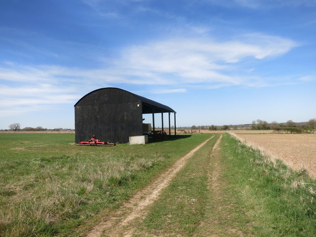
Berkshire Downs Images
Images are sourced within 2km of 51.499457/-1.3525579 or Grid Reference SU4578. Thanks to Geograph Open Source API. All images are credited.


Berkshire Downs is located at Grid Ref: SU4578 (Lat: 51.499457, Lng: -1.3525579)
Unitary Authority: West Berkshire
Police Authority: Thames Valley
What 3 Words
///pioneered.burst.agreement. Near Chaddleworth, Berkshire
Nearby Locations
Related Wikis

Peasemore
Peasemore is a village and civil parish in the English ceremonial and historic county of Berkshire in the West Berkshire unitary authority area, west of...
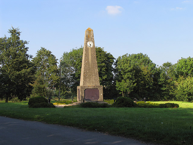
Leckhampstead War Memorial
Leckhampstead War Memorial is a Grade II listed war memorial in Leckhampstead, Berkshire, which commemorates 89 local men who served in the First World...

Leckhampstead, Berkshire
Leckhampstead is a village and civil parish in West Berkshire, England in the North Wessex Downs. A road and boundary stone in Leckhampstead, the Hangman...

Catmore
Catmore is a civil parish and village in West Berkshire about 5+1⁄2 miles (9 km) southeast of Wantage. Catmore is in the Berkshire Downs and the centre...

Brightwalton Green
Brightwalton Green is a hamlet in the civil parish of Brightwalton in the county of Berkshire, England. The settlement lies near to the A338 road, and...

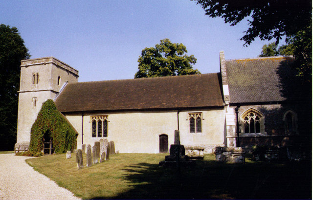
Brightwalton
Brightwalton is a village and civil parish in the Berkshire Downs centred 7 miles (11 km) NNW of Newbury in West Berkshire. == Parish church == The Church...

Stanmore, Berkshire
Stanmore is a hamlet in Berkshire, England. In the 2011 Census it was included in the civil parish of Beedon. It is situated west of the A34, 7 miles north...
Chaddleworth
Chaddleworth is a village and civil parish in the English county of Berkshire. == Geography == The village of Chaddleworth lies below the southern slopes...
Nearby Amenities
Located within 500m of 51.499457,-1.3525579Have you been to Berkshire Downs?
Leave your review of Berkshire Downs below (or comments, questions and feedback).