Wind Hills
Range Of Mountains, Range Of Hills in Yorkshire Richmondshire
England
Wind Hills
Wind Hills, located in Yorkshire, is a renowned range of mountains that stretches across the northern part of England. This magnificent natural formation is known for its breathtaking beauty and diverse landscapes, making it a popular destination for nature enthusiasts, hikers, and adventure seekers.
The range is characterized by its rugged terrain, towering peaks, and deep valleys. The highest point, known as Wind Peak, stands at an impressive elevation of 1,200 meters, offering panoramic views of the surrounding countryside. The mountains are composed mainly of sedimentary rocks, with layers dating back millions of years, providing geologists with valuable insights into the Earth's history.
Wind Hills is home to a rich variety of flora and fauna, with several rare and endangered species found within its boundaries. The range boasts a diverse ecosystem, ranging from heathlands and moorlands to dense forests and meadows. It is a haven for numerous bird species, including peregrine falcons, golden eagles, and owls.
In addition to its natural beauty, Wind Hills also holds cultural and historical significance. The region is dotted with ancient ruins, stone circles, and burial mounds, showcasing the area's long and storied past. Visitors can explore these archaeological sites and delve into the rich history of the region.
Overall, Wind Hills in Yorkshire offers a spectacular outdoor experience, combining stunning landscapes, abundant wildlife, and a wealth of historical treasures. Whether one seeks adventure, tranquility, or a deeper connection with nature, this range of mountains has something to offer for everyone.
If you have any feedback on the listing, please let us know in the comments section below.
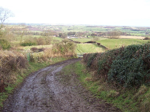
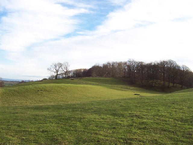
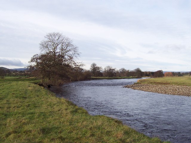
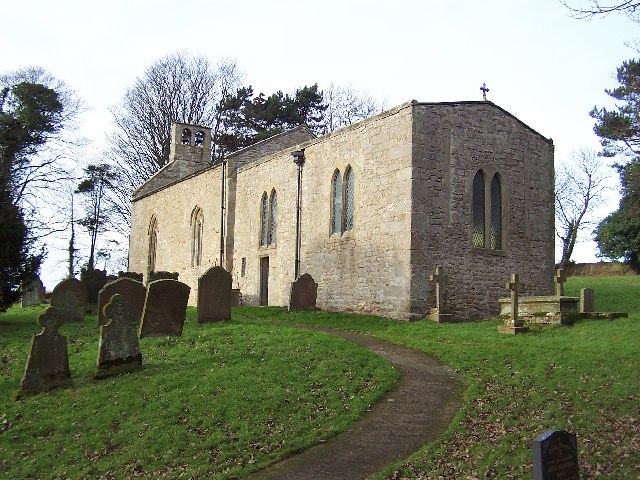
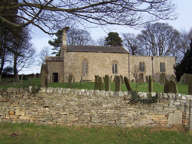
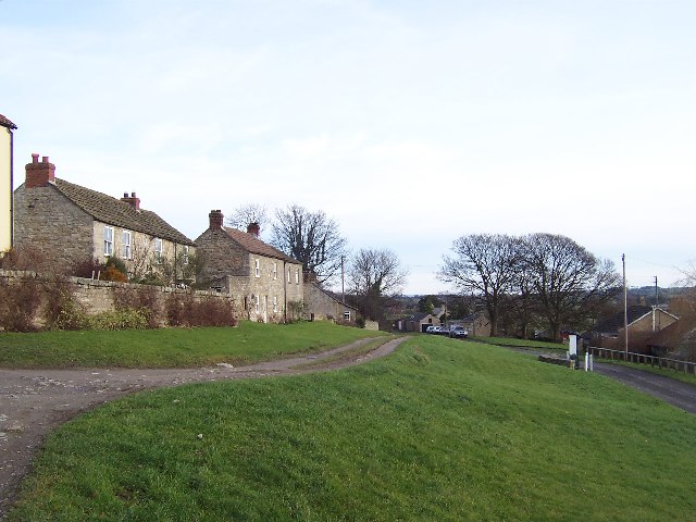
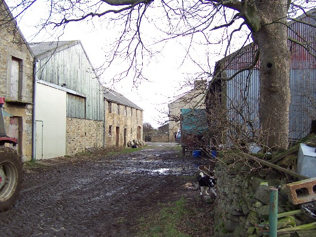
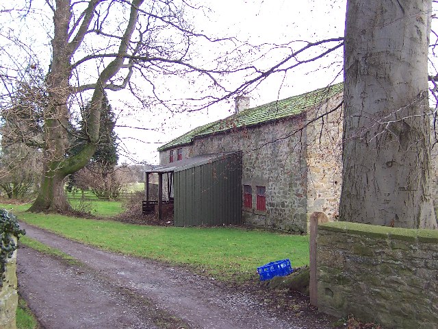
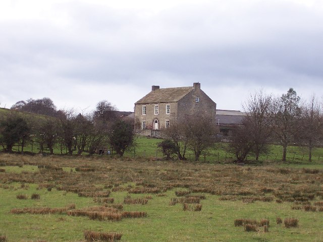
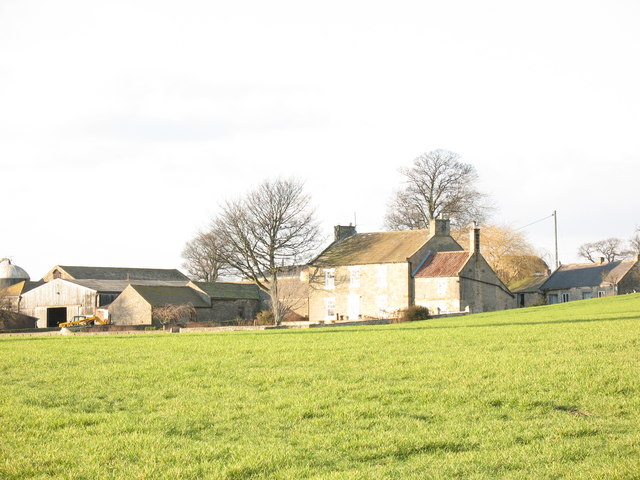
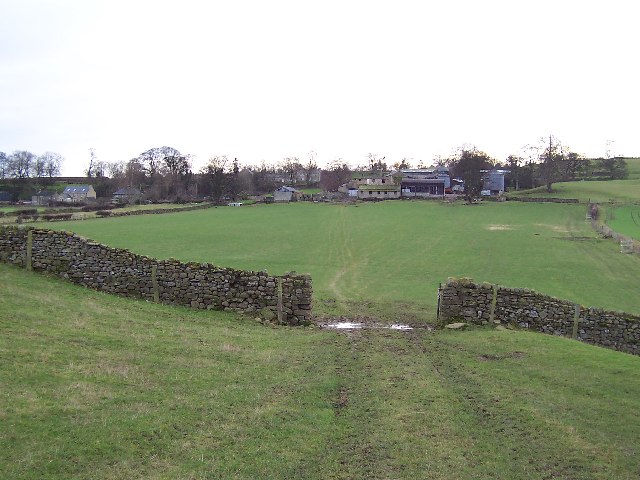
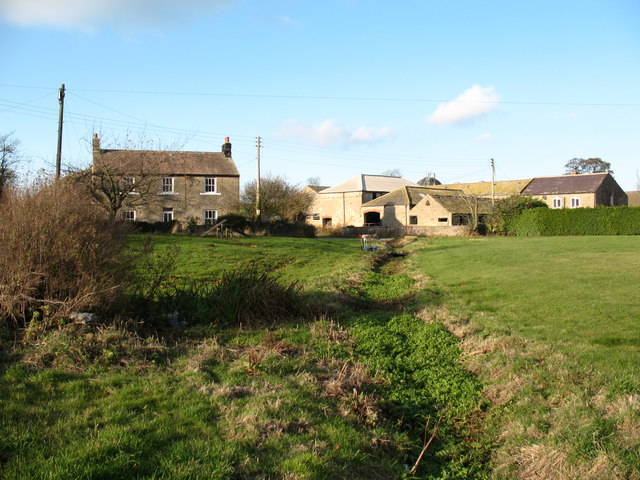
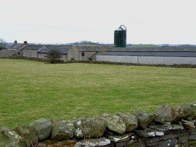
Wind Hills Images
Images are sourced within 2km of 54.265001/-1.7248881 or Grid Reference SE1885. Thanks to Geograph Open Source API. All images are credited.

Wind Hills is located at Grid Ref: SE1885 (Lat: 54.265001, Lng: -1.7248881)
Division: North Riding
Administrative County: North Yorkshire
District: Richmondshire
Police Authority: North Yorkshire
What 3 Words
///mimed.vast.thrashed. Near Masham, North Yorkshire
Nearby Locations
Related Wikis
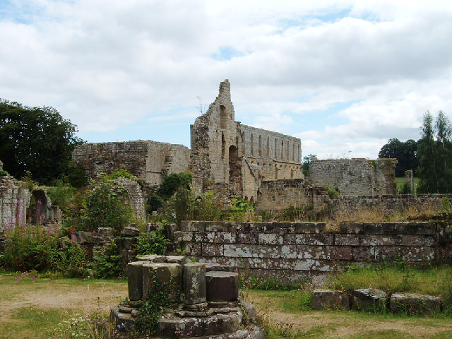
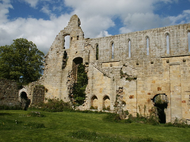
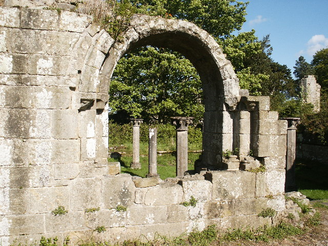
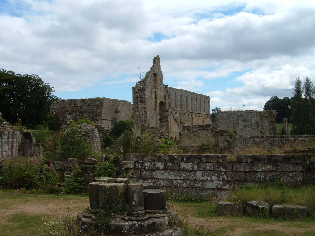
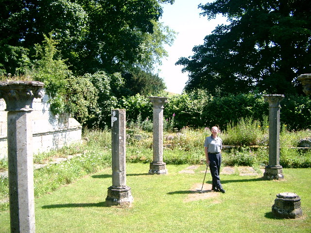
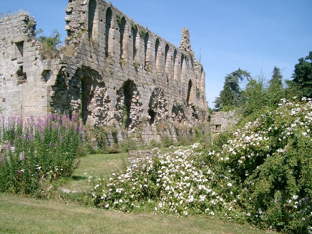
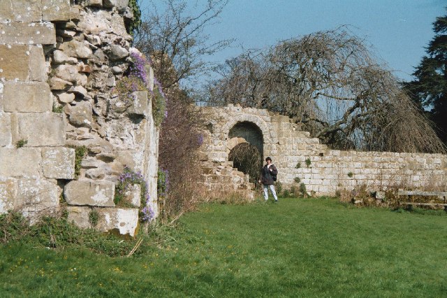
Jervaulx Abbey
Jervaulx Abbey in East Witton in North Yorkshire, 14 mi (23 km) north-west of the city of Ripon, was one of the great Cistercian abbeys of Yorkshire, England...

Thornton Steward
Thornton Steward is a small village and civil parish in North Yorkshire, England, near Wensleydale, with a population of 100–200, measured at 199 in the...

Ellingstring
Ellingstring is a village and civil parish in Wensleydale in North Yorkshire, England, about 5 miles (8 km) south-east of Leyburn, and 3.5 miles (5.6 km...

Thornton Steward Reservoir
Thornton Steward Reservoir is a reservoir north of the village of Thornton Steward in North Yorkshire, England. It is owned by Yorkshire Water, and supplies...
Rookwith
Rookwith is a hamlet and civil parish in the Hambleton district of North Yorkshire, England, about 4 miles (6.4 km) west of Bedale and near the flow of...
High Ellington
High Ellington is a village in lower Wensleydale in North Yorkshire, England, about 2.5 miles (4 km) north-west of Masham. The smaller village of Low...
Low Ellington
Low Ellington is a small village in lower Wensleydale in North Yorkshire, England about 2 miles (3.2 km) north-west of Masham. It is 0.5 miles (0.80 km...
Hutton Hang
Hutton Hang is a hamlet and civil parish in the Richmondshire district of North Yorkshire, England. The population taken at the 2011 census was less than...
Nearby Amenities
Located within 500m of 54.265001,-1.7248881Have you been to Wind Hills?
Leave your review of Wind Hills below (or comments, questions and feedback).