Cotswold Hills

Range Of Mountains, Range Of Hills in Gloucestershire Cotswold

England

Cotswold Hills

The A40 heading west near Hampnett
The A40 heading west near Hampnett Credit: Steve Daniels

The Cotswold Hills, located in Gloucestershire, England, is a range of rolling hills that stretches across six counties including Gloucestershire, Oxfordshire, Warwickshire, Wiltshire, Worcestershire, and Somerset. This picturesque range of hills is part of the larger Cotswolds, which is an Area of Outstanding Natural Beauty in the country.

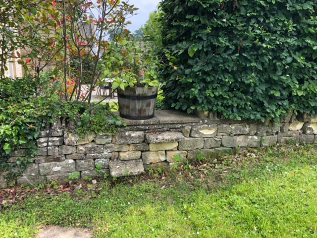
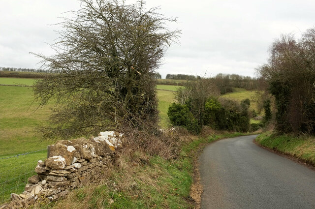
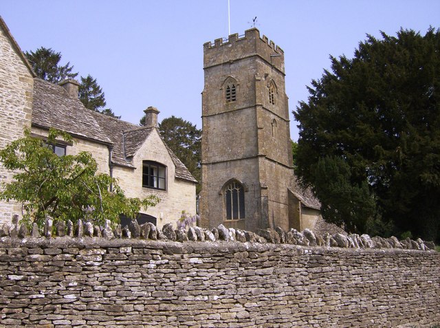
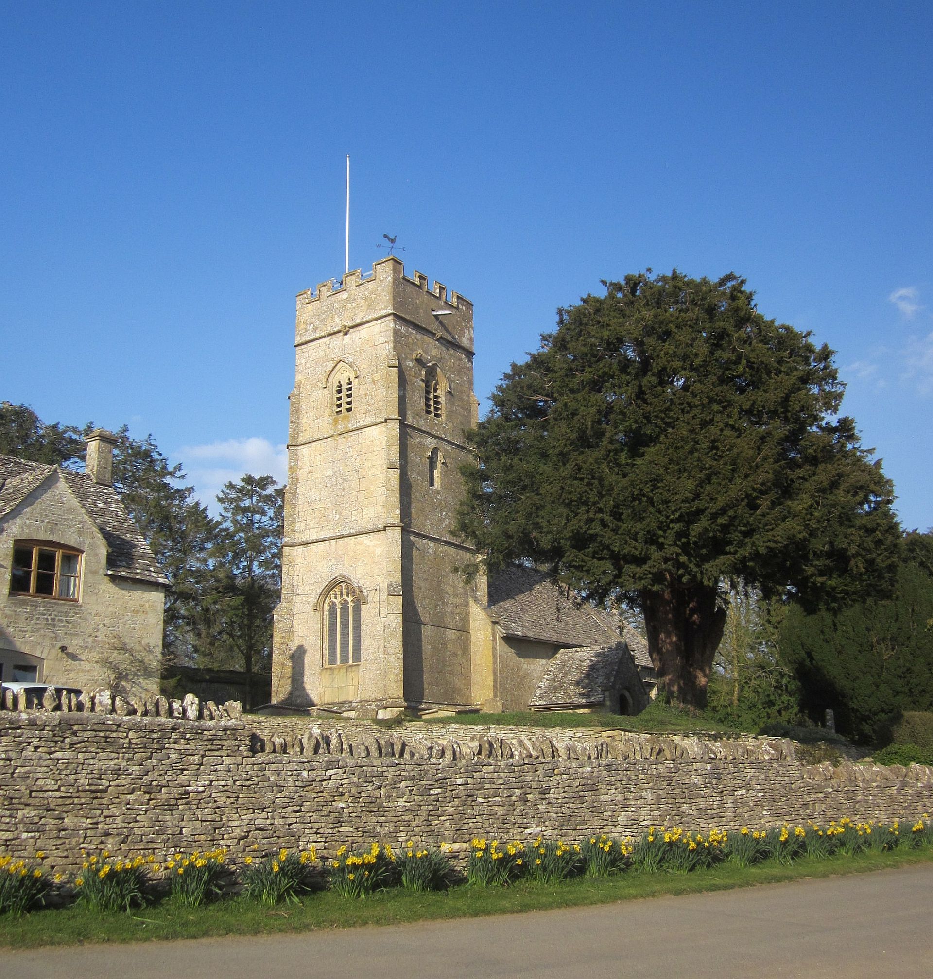
Characterized by its distinctive limestone formations, the Cotswold Hills offer breathtaking views and picturesque landscapes. The hills are predominantly made up of Jurassic limestone, which gives them their unique golden color. This limestone has been used for centuries in the construction of buildings and walls in the local towns and villages, giving them a charming and historic feel.

The Cotswold Hills are home to numerous quaint villages and towns, each with their own individual charm. Visitors can explore the narrow, winding streets lined with honey-colored cottages, visit the local pubs and tearooms, and admire the beautiful gardens and historic churches. Popular towns in the Cotswold Hills include Chipping Campden, Bourton-on-the-Water, Stow-on-the-Wold, and Broadway.

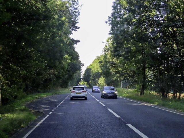
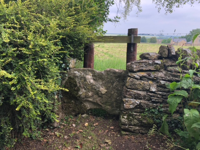
In addition to the picturesque towns, the Cotswold Hills offer a variety of outdoor activities for visitors to enjoy. There are numerous walking and hiking trails that wind through the hills, providing opportunities to explore the stunning countryside. The Cotswold Way, a long-distance footpath, runs for 102 miles along the Cotswold Hills, offering hikers the chance to experience the beauty of the area.

Overall, the Cotswold Hills in Gloucestershire are a stunning range of hills that offer visitors a glimpse into the natural beauty and charm of the English countryside. With its picturesque villages, historic buildings, and scenic landscapes, it is no wonder that the Cotswold Hills are a popular destination for tourists and locals alike.

If you have any feedback on the listing, please let us know in the comments section below.

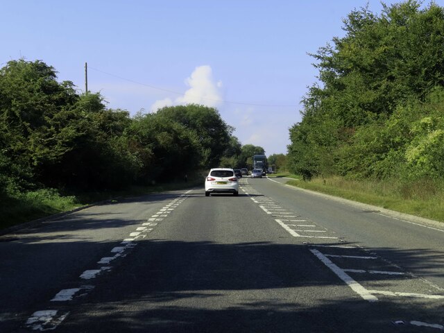
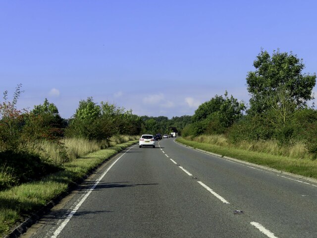
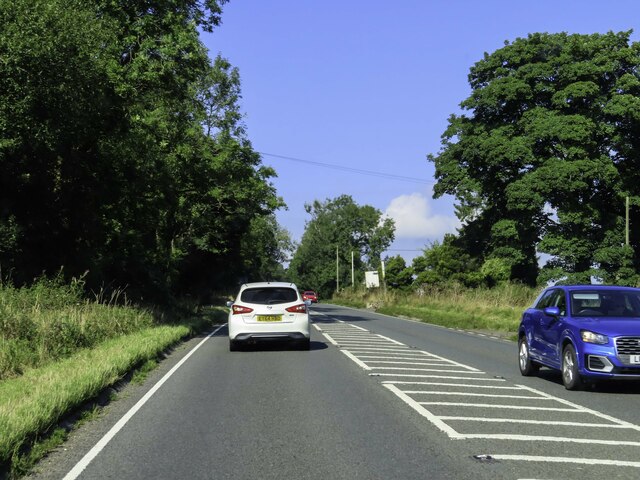
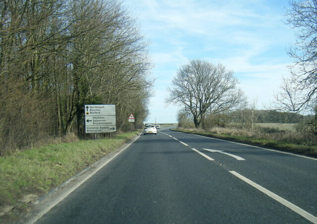
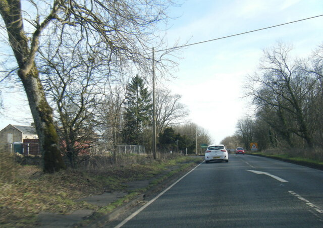
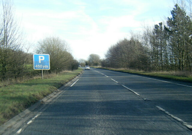
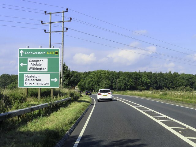
Cotswold Hills Images

Images are sourced within 2km of 51.859034/-1.8830774 or Grid Reference SP0817. Thanks to Geograph Open Source API. All images are credited.

The A40 heading west near Hampnett
The A40 heading west near Hazleton
A40 north of Compton Abdale
A40 at Garniche Farm
A40 west of Hampnett
Hazleton Church
Hazleton Church
Road sign by the A40
Lay-by next to the A40 heading west
Stone Stile, Hazelton Private stile gated off in the field, this is looking looking North from the road, the view from the field is <a href="https://www.geograph.org.uk/photo/7315856">SP0817 : Stone Stile, Hazelton</a>.
Stone Stile, Hazelton
Private stile gated off in the field, this is looking looking North from the road, the view from the field is SP0817 : Stone Stile, Hazelton.
Stone Stile, Hazelton Private stile gated off in the field, this is looking from the field, the view looking North from the road is <a href="https://www.geograph.org.uk/photo/7315855">SP0817 : Stone Stile, Hazelton</a>.
Stone Stile, Hazelton
Private stile gated off in the field, this is looking from the field, the view looking North from the road is SP0817 : Stone Stile, Hazelton.
Stone Stile, Hazelton Private stile just South of Winterfold Cottage, looking West. The view East is <a href="https://www.geograph.org.uk/photo/7315880">SP0817 : Stone Stile, Hazelton</a>. The top wooden bar lifts off.
Stone Stile, Hazelton
Private stile just South of Winterfold Cottage, looking West. The view East is SP0817 : Stone Stile, Hazelton. The top wooden bar lifts off.
Stone Stile, Hazelton Private stile just South of Winterfold Cottage, looking East. The view West is <a href="https://www.geograph.org.uk/photo/7315879">SP0817 : Stone Stile, Hazelton</a>. The top wooden bar lifts off.
Stone Stile, Hazelton
Private stile just South of Winterfold Cottage, looking East. The view West is SP0817 : Stone Stile, Hazelton. The top wooden bar lifts off.
Stone Stile, Hazelton A simple step stile to a complex of dwellings, in a low wall between "the Chestnuts" and "Beeches Barn". Not a Public Right of Way.
Stone Stile, Hazelton
A simple step stile to a complex of dwellings, in a low wall between "the Chestnuts" and "Beeches Barn". Not a Public Right of Way.
Stone Stile, Hazelton Private footpath that goes to the rear of Nᴼ.1 Hazelton (et al). This view is looking out, the view to the houses is <a href="https://www.geograph.org.uk/photo/7316403">SP0717 : Stone Stile, Hazelton</a>.
Stone Stile, Hazelton
Private footpath that goes to the rear of Nᴼ.1 Hazelton (et al). This view is looking out, the view to the houses is SP0717 : Stone Stile, Hazelton.
Stone Stile, Hazelton Private footpath that goes to the rear of Nᴼ.1 Hazelton (et al). This view is to the houses, the view out is <a href="https://www.geograph.org.uk/photo/7316402">SP0717 : Stone Stile, Hazelton</a>.
Stone Stile, Hazelton
Private footpath that goes to the rear of Nᴼ.1 Hazelton (et al). This view is to the houses, the view out is SP0717 : Stone Stile, Hazelton.
Lane northeast of Compton Abdale Dropping into a combe on its way to Manor Farm.
Lane northeast of Compton Abdale
Dropping into a combe on its way to Manor Farm.
Show me another place!

Cotswold Hills is located at Grid Ref: SP0817 (Lat: 51.859034, Lng: -1.8830774)

Administrative County: Gloucestershire

District: Cotswold

Police Authority: Gloucestershire

What 3 Words

///knots.resources.dorms. Near Westfield, Gloucestershire

Related Wikis

Hazleton Abbey

Hazleton Abbey was an abbey at Hazleton in Gloucestershire, England. It was formed in the 12th century. Monks from Kingswood Abbey bought the land after...

Hazleton, Gloucestershire

Hazleton or Haselton is a village and civil parish in the Cotswold District of Gloucestershire, England. The population of the civil parish in the 2011...

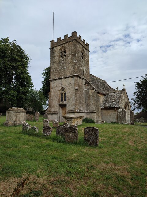
Church of All Saints, Turkdean

The Anglican Church of All Saints at Turkdean in the Cotswold District of Gloucestershire, England was built in the 12th century. It is a grade I listed...

Turkdean

Turkdean is a village and civil parish in Gloucestershire, England, approximately 30 km (19 mi) to the east of Gloucester. It lies in the Cotswolds, an...

Compton Abdale

Compton Abdale is a small village in Gloucestershire, England on the Roman "White Way" which ran North from Cirencester ("Corinium.") The village lies...

Hampnett

Hampnett is a small village and civil parish in Gloucestershire, England, just west of the Fosse Way. It is situated west of the junction of the A40 and...

Church of St George, Hampnett

The Anglican Church of St George at Hampnett in the Cotswold District of Gloucestershire, England was built in 12th century. It is a grade I listed building...

Salperton

Salperton is a village and former civil parish, now in the parish of Hazleton, in the Cotswolds about 8 miles (13 km) east of Cheltenham in Gloucestershire...

Nearby Amenities

Located within 500m of 51.859034,-1.8830774
Hazleton
Place: village
Lat/Long: 51.8630138/-1.8862633
Bus Stop
St Andrew's Church
Bus: yes
Naptan AtcoCode: 1600GL2424
Naptan Bearing: SE
Naptan CommonName: St Andrew's Church
Naptan NaptanCode: glogdajd
Naptan Street: Church Rd
Naptan Verified: no
Public Transport: platform
Source: naptan_import
Lat/Long: 51.8623746/-1.8861619
Bus Stop
Priory Farm
Bus: yes
Naptan AtcoCode: 1600GLC456
Naptan Bearing: W
Naptan CommonName: Priory Farm
Naptan NaptanCode: glogdajg
Naptan Street: Cheltenham Ln
Naptan Verified: no
Public Transport: platform
Source: naptan_import
Lat/Long: 51.8597761/-1.8861104
HE Ref: 1089847
Description: SIX UNIDENTIFIED MONUMENTS
Historic: tomb
Listed Status: Grade II
Lat/Long: 51.8625646/-1.8860161
HE Ref: 1153732
Description: PAIR OF UNIDENTIFIED MONUMENTS
Historic: tomb
Listed Status: Grade II
Lat/Long: 51.8624928/-1.8861034
HE Ref: 1341107
Description: JOHN LORDE MONUMENT AND 10 HEADSTONES
Historic: tomb
Listed Status: Grade II
Lat/Long: 51.8624746/-1.8859002
The data included in this document is from www.openstreetmap.org. The data is made available under ODbL.

Have you been to Cotswold Hills?

Leave your review of Cotswold Hills below (or comments, questions and feedback).