Middle Hills

Range Of Mountains, Range Of Hills in Staffordshire Staffordshire Moorlands

England

Middle Hills

Direction Sign – Signpost near Newtown Located on the north side of the junction of Millmoor Edge, Shawfields and Swallow Moss in Heathylee parish. 4 arms, 1 missing, and pawn finial. See also <a title="https://www.geograph.org.uk/photo/6324291" href="https://www.geograph.org.uk/photo/6324291">Link</a> and <a title="https://www.geograph.org.uk/photo/6526213" href="https://www.geograph.org.uk/photo/6526213">Link</a>.

Milestone Society National ID: ST_SK0462
Direction Sign – Signpost near Newtown Credit: L Marsden

Middle Hills is a picturesque range of hills located in the county of Staffordshire, in the West Midlands region of England. Situated in the heart of the country, this range of mountains provides stunning views and a tranquil escape from the bustling cities nearby.

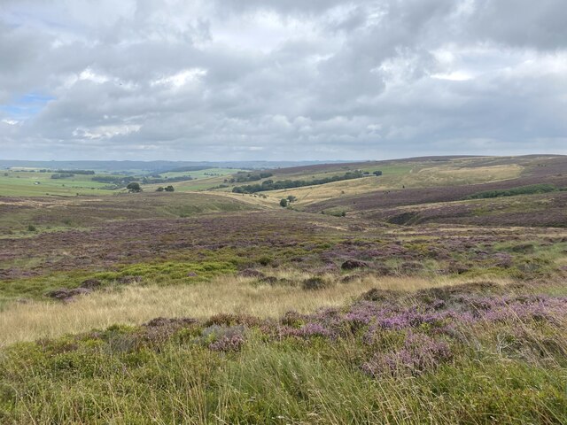
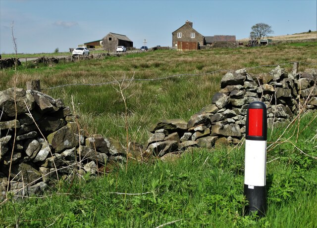
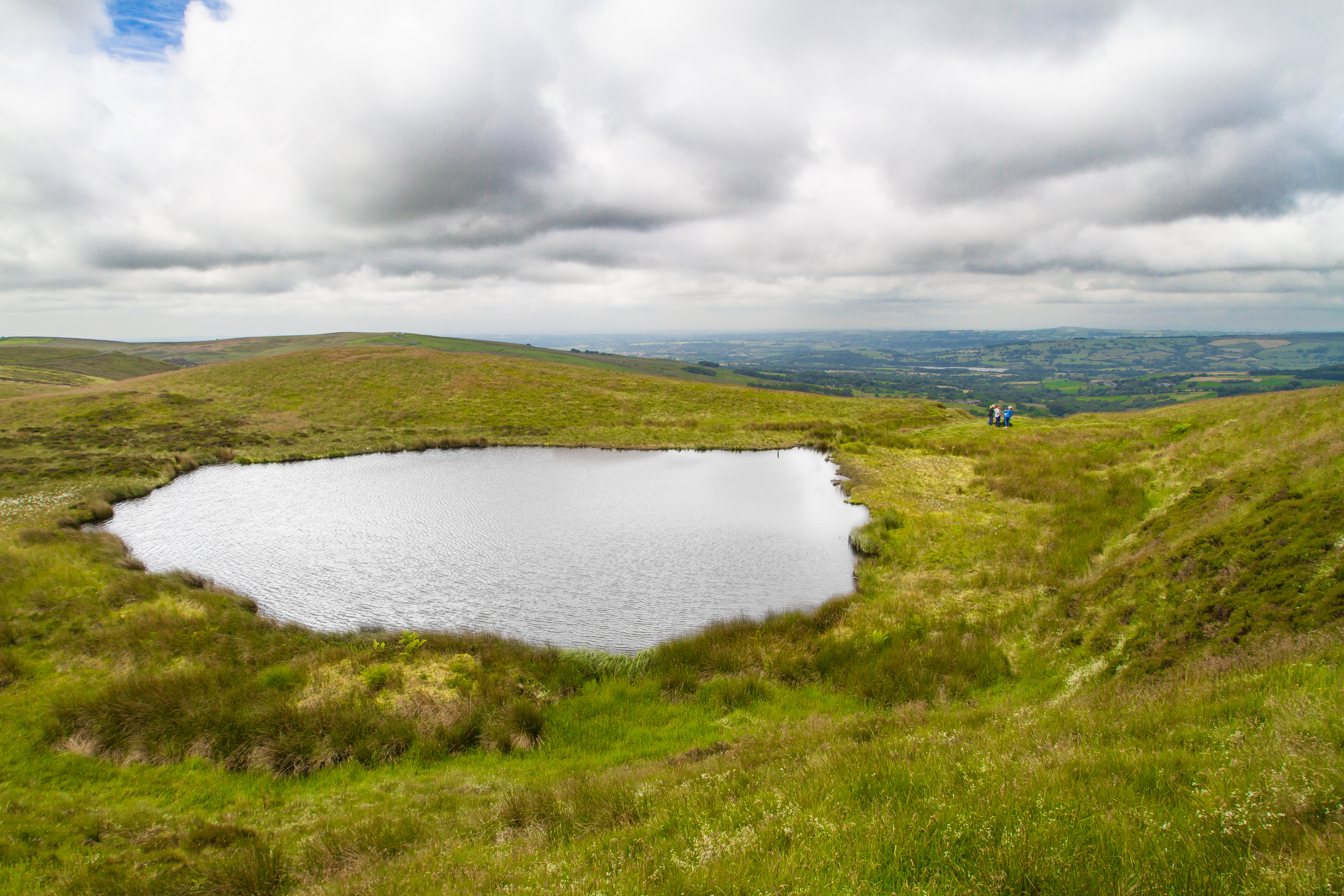
Spanning across an area of approximately 100 square kilometers, Middle Hills is characterized by its rolling terrain, lush greenery, and diverse wildlife. The hills are part of the larger Pennines, which are known for their scenic beauty and geological significance.

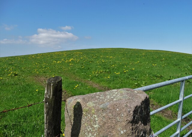
The highest peak in Middle Hills reaches an elevation of around 450 meters, offering breathtaking panoramic vistas of the surrounding landscapes. The slopes are covered in a patchwork of heather moorlands, woodland, and meadows, providing a diverse habitat for a variety of plant and animal species.

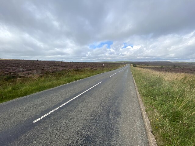
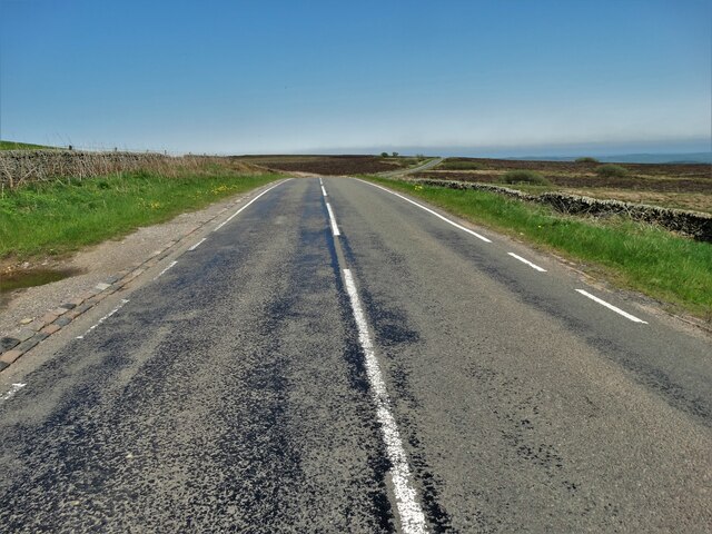
The hills are crisscrossed by a network of footpaths and trails, making it a popular destination for hiking enthusiasts and nature lovers. Visitors can explore the numerous pathways, taking in the fresh country air and enjoying the stunning vistas at their own pace.

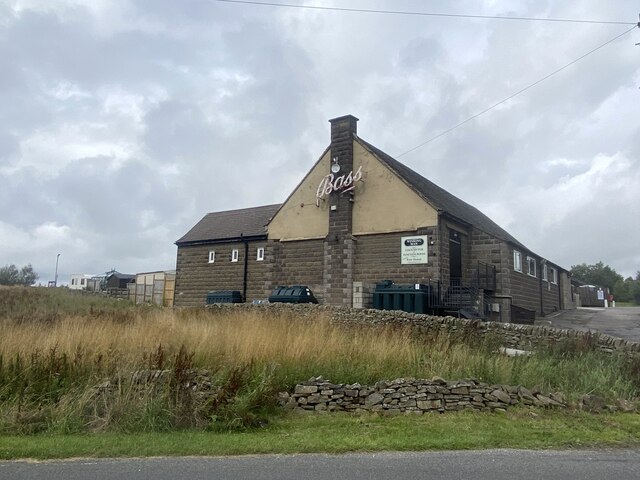
Middle Hills is also home to several charming villages and towns, where visitors can experience the warm hospitality of the locals and immerse themselves in the rich cultural heritage of the area. Traditional pubs, quaint cottages, and historic landmarks add to the charm and appeal of the region.

Overall, Middle Hills in Staffordshire offers a perfect blend of natural beauty, outdoor activities, and cultural experiences, making it an ideal destination for those seeking a peaceful retreat in the heart of England.

If you have any feedback on the listing, please let us know in the comments section below.
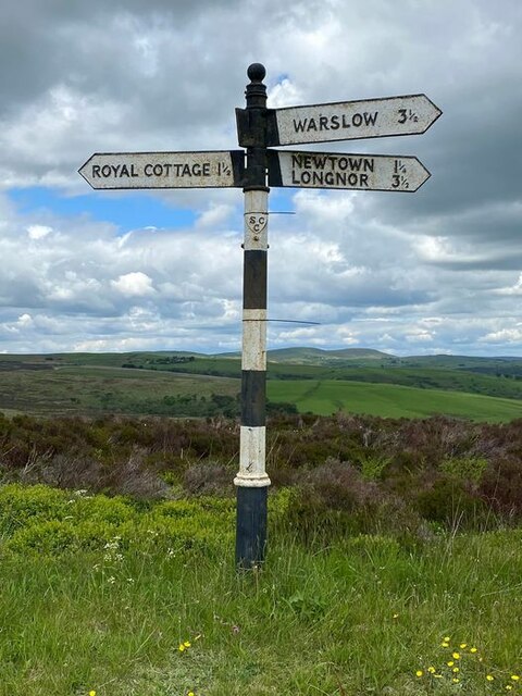
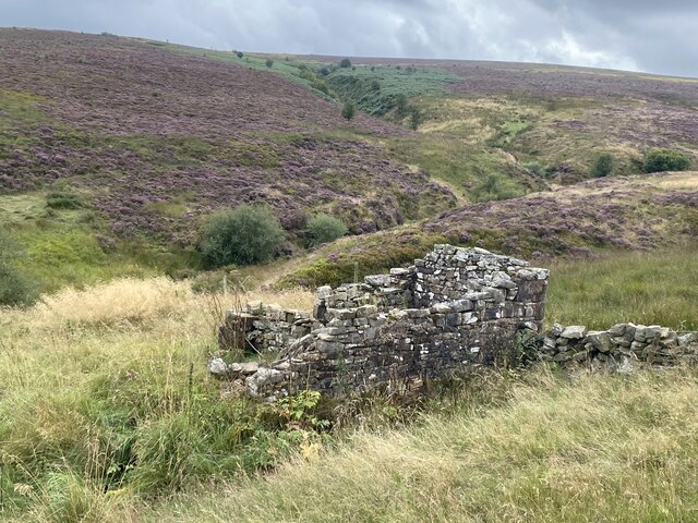
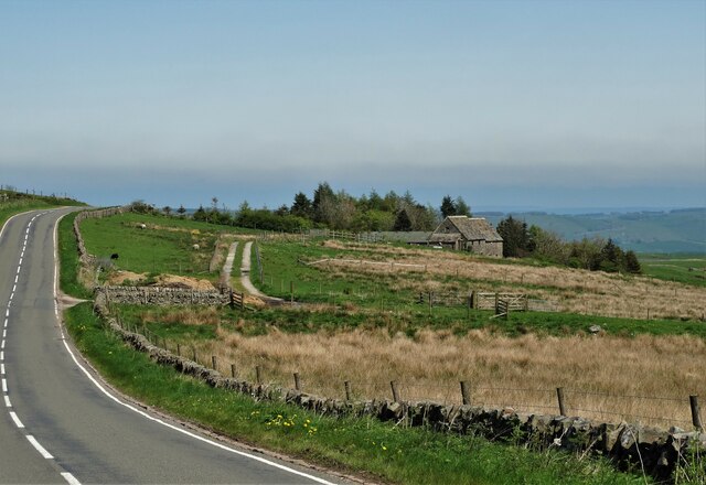
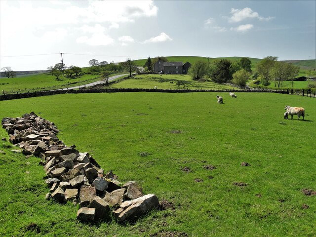
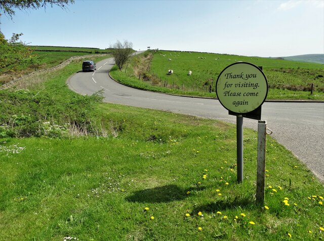
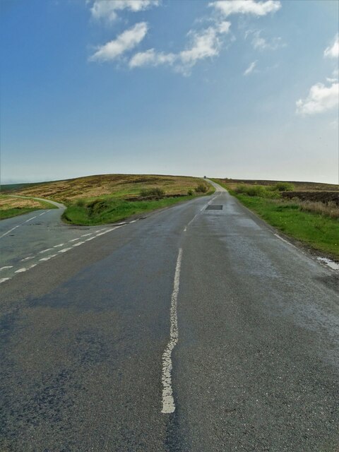
Middle Hills Images

Images are sourced within 2km of 53.163243/-1.939519 or Grid Reference SK0462. Thanks to Geograph Open Source API. All images are credited.

Direction Sign – Signpost near Newtown Located on the north side of the junction of Millmoor Edge, Shawfields and Swallow Moss in Heathylee parish. 4 arms, 1 missing, and pawn finial. See also <a title="https://www.geograph.org.uk/photo/6324291" href="https://www.geograph.org.uk/photo/6324291">Link</a> and <a title="https://www.geograph.org.uk/photo/6526213" href="https://www.geograph.org.uk/photo/6526213">Link</a>.

Milestone Society National ID: ST_SK0462
Direction Sign – Signpost near Newtown
Located on the north side of the junction of Millmoor Edge, Shawfields and Swallow Moss in Heathylee parish. 4 arms, 1 missing, and pawn finial. See also Link and Link. Milestone Society National ID: ST_SK0462
Farm track to Boarsgrove
Moorland ruin
Moorland ruin
Heather moorland On the western side of Morridge.
Heather moorland
On the western side of Morridge.
Heading north towards the A53 On the moorland road over Middle Hills.
Heading north towards the A53
On the moorland road over Middle Hills.
Rear view of the Winking Man At 1450' one of the ten highest pubs in England.
Rear view of the Winking Man
At 1450' one of the ten highest pubs in England.
Trig point on Merryton Low, 1603' / 489m
Blake Mere The Eastern rim of this pool (nearest to the camera) is just in the SK 04 61 grid square.
Blake Mere
The Eastern rim of this pool (nearest to the camera) is just in the SK 04 61 grid square.
Blakemere Pool (Mermaid's Pond) The earliest known record of the lake is from 1686, when Robert Plot wrote about it in his book The Natural History of Staffordshire.

Over the centuries the pond has been the scene of a number of drownings and a murder when, in 1679, a woman pedlar was reportedly dumped in the pool by a local serial killer.

The local legend of Blakemere Pond tells of a beautiful young woman who rejected the advances of a local man named Joshua Linnet. Unable to accept the rejection, Joshua accused the woman of being a witch and he managed to convince the local townsfolk to drown her in Blakemere Pond. With her final breath, however, the young woman is told to have muttered a curse against Joshua and three days later his body was found by the pool, his face covered with claw marks.

It's also rumoured to be bottomless, connected to Doxy Pool on The Roaches, animals never drink from it and never freezes over. 

<span class="nowrap"><a title="https://en.wikipedia.org/wiki/Blakemere_Pond" rel="nofollow ugc noopener" href="https://en.wikipedia.org/wiki/Blakemere_Pond">Link</a><img style="margin-left:2px;" alt="External link" title="External link - shift click to open in new window" src="https://s1.geograph.org.uk/img/external.png" width="10" height="10"/></span>
Blakemere Pool (Mermaid's Pond)
The earliest known record of the lake is from 1686, when Robert Plot wrote about it in his book The Natural History of Staffordshire. Over the centuries the pond has been the scene of a number of drownings and a murder when, in 1679, a woman pedlar was reportedly dumped in the pool by a local serial killer. The local legend of Blakemere Pond tells of a beautiful young woman who rejected the advances of a local man named Joshua Linnet. Unable to accept the rejection, Joshua accused the woman of being a witch and he managed to convince the local townsfolk to drown her in Blakemere Pond. With her final breath, however, the young woman is told to have muttered a curse against Joshua and three days later his body was found by the pool, his face covered with claw marks. It's also rumoured to be bottomless, connected to Doxy Pool on The Roaches, animals never drink from it and never freezes over. LinkExternal link
View to a former wayside tavern on the A53 The pub in question was "The Royal Cottage"
View to a former wayside tavern on the A53
The pub in question was "The Royal Cottage"
Gateway and view of Bareleg Hill From Leek Road near Royal Cottage
Gateway and view of Bareleg Hill
From Leek Road near Royal Cottage
Leek Road by Bareleg Hill
Approaching Ridge Head by Leek Road
View to Merril Grove Farm
Leaving "The Winking Man" A pub at Upper Hume by Buxton Road
Leaving "The Winking Man"
A pub at Upper Hume by Buxton Road
Morridge at the Shawfields junction
Moorland ruin southwest of Badger Croft My guess is that it was once connected with sheep farming or grouse shooting. Intriguingly, the building is marked on the 1888 OS map as "Rowridge"
Moorland ruin southwest of Badger Croft
My guess is that it was once connected with sheep farming or grouse shooting. Intriguingly, the building is marked on the 1888 OS map as "Rowridge"
Stand of trees north west of Boarsgrove
Show me another place!

Middle Hills is located at Grid Ref: SK0462 (Lat: 53.163243, Lng: -1.939519)

Administrative County: Staffordshire

District: Staffordshire Moorlands

Police Authority: Staffordshire

What 3 Words

///succumbs.argue.vowed. Near Leek, Staffordshire

Nearby Locations

Middle Hills

Related Wikis

Heathylee

Heathylee is a civil parish in the district of Staffordshire Moorlands in north-east Staffordshire, England. There is no village centre. The parish has...

Blakemere Pond

Blakemere Pond, also known as Black Mere Pool or Mermaid's Pond, is a small, natural lake in Staffordshire, England, six miles north-west of Leek. The...

Merryton Low

Merryton Low is a hill in Staffordshire, England, a few miles east of Leek. It is in the civil parish of Fawfieldhead in the local government district...

Black Brook Nature Reserve

Black Brook is a nature reserve of the Staffordshire Wildlife Trust, about 7 miles (11 km) north-east of Leek, in Staffordshire, England. It is moorland...

Nearby Amenities

Located within 500m of 53.163243,-1.939519
Barrier: stile
Material: wood
Source: survey;gps
Stile: stepover
Lat/Long: 53.1629814/-1.9373739
The data included in this document is from www.openstreetmap.org. The data is made available under ODbL.

Have you been to Middle Hills?

Leave your review of Middle Hills below (or comments, questions and feedback).