Purbeck Hills
Range Of Mountains, Range Of Hills in Dorset
England
Purbeck Hills
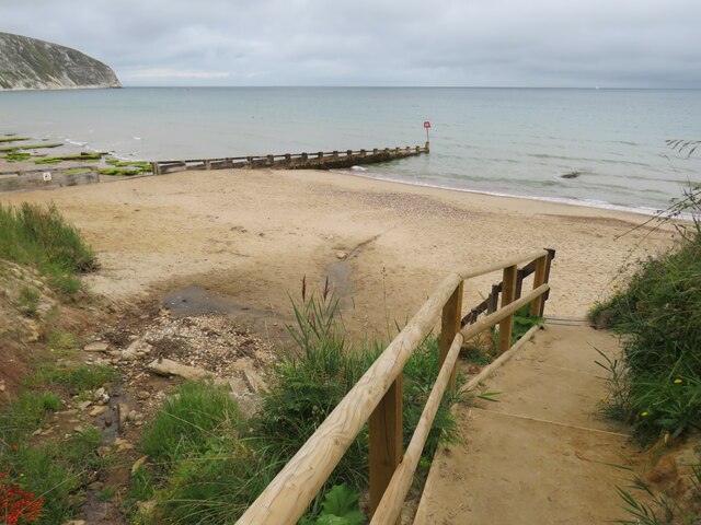
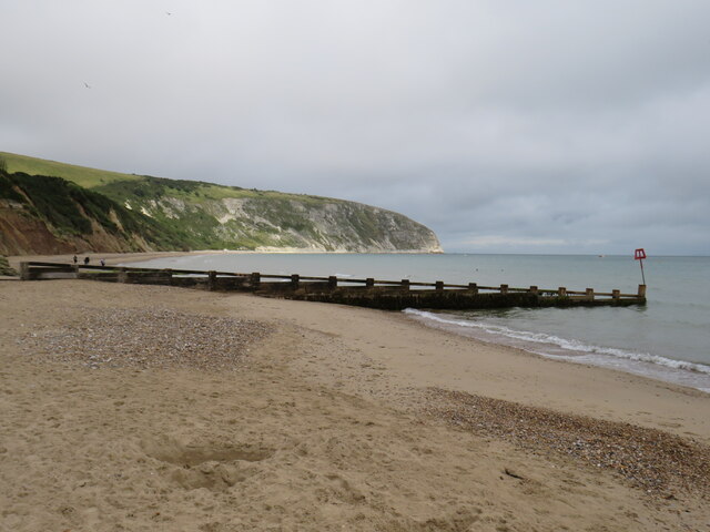
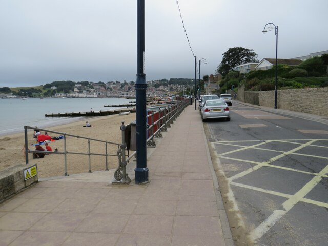
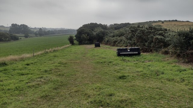
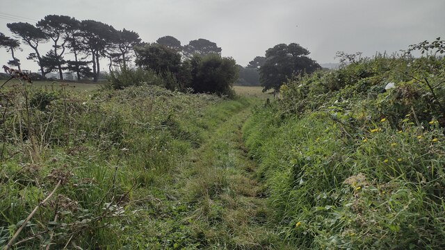
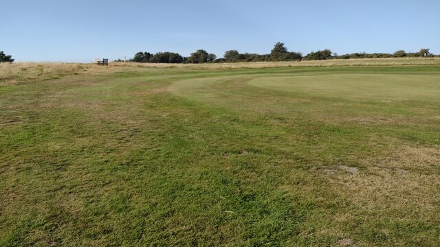
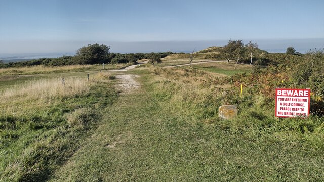
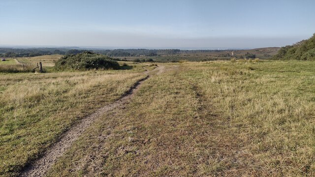
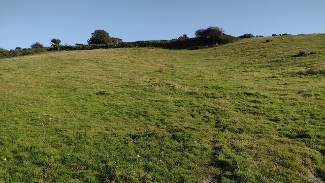
The Purbeck Hills, located in the county of Dorset, England, is a range of hills stretching across the eastern part of the Isle of Purbeck. This picturesque area is part of the larger Purbeck Heritage Coast and offers stunning panoramic views of the surrounding countryside and coastline.
Comprising a range of mountains and hills, the highest peak in the Purbeck Hills is Nine Barrow Down, standing at an elevation of 199 meters (653 feet) above sea level. The hills are predominantly made up of chalk and limestone, giving them a distinctive white appearance. This geology also contributes to the diverse flora and fauna found in the area, including rare plant species such as orchids and butterflies.
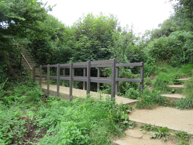
The Purbeck Hills offer a variety of outdoor activities for visitors to enjoy. Hiking and walking trails crisscross the hills, allowing visitors to explore the stunning landscapes and take in the breathtaking views. The area is also popular for cycling, with numerous trails catering to different levels of difficulty.
In addition to its natural beauty, the Purbeck Hills are steeped in history. The region boasts several ancient archaeological sites, including burial mounds and Iron Age hill forts. The iconic Corfe Castle, a medieval fortress dating back to the 11th century, sits atop one of the hills and serves as a reminder of the area's rich history.
Overall, the Purbeck Hills in Dorset offer a unique blend of natural beauty, outdoor activities, and historical significance. With its diverse landscapes and stunning vistas, it is a must-visit destination for nature enthusiasts and history buffs alike.
If you have any feedback on the listing, please let us know in the comments section below.
Purbeck Hills Images
Images are sourced within 2km of 50.629821/-1.9754311 or Grid Reference SZ0181. Thanks to Geograph Open Source API. All images are credited.


Purbeck Hills is located at Grid Ref: SZ0181 (Lat: 50.629821, Lng: -1.9754311)
Unitary Authority: Dorset
Police Authority: Dorset
What 3 Words
///boils.universal.divides. Near Swanage, Dorset
Nearby Locations
Related Wikis

Rowbarrow Hundred
Rowbarrow Hundred or Rowberrow Hundred was a hundred in the county of Dorset, England, containing the following parishes: Langton Matravers Studland Swanage...

Ballard Down
Ballard Down is an area of chalk downland on the Purbeck Hills in the English county of Dorset. The hills meet the English Channel here, and Ballard Down...

Nine Barrow Down
Nine Barrow Down is an elongated hill forming the northern ridge of the Purbeck Hills on the Isle of Purbeck in Dorset, England. The chalk down is part...
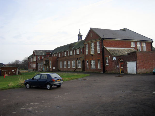
Swanage Grammar School
Swanage Grammar School was a former school in Swanage, Dorset, England, established in 1929 (1929). It closed in 1974 (1974). The building is defunct...
Swanage Town & Herston F.C.
Swanage Town & Herston Football Club is a football club based in Swanage, Dorset, England. The club is affiliated to the Dorset County Football Association...
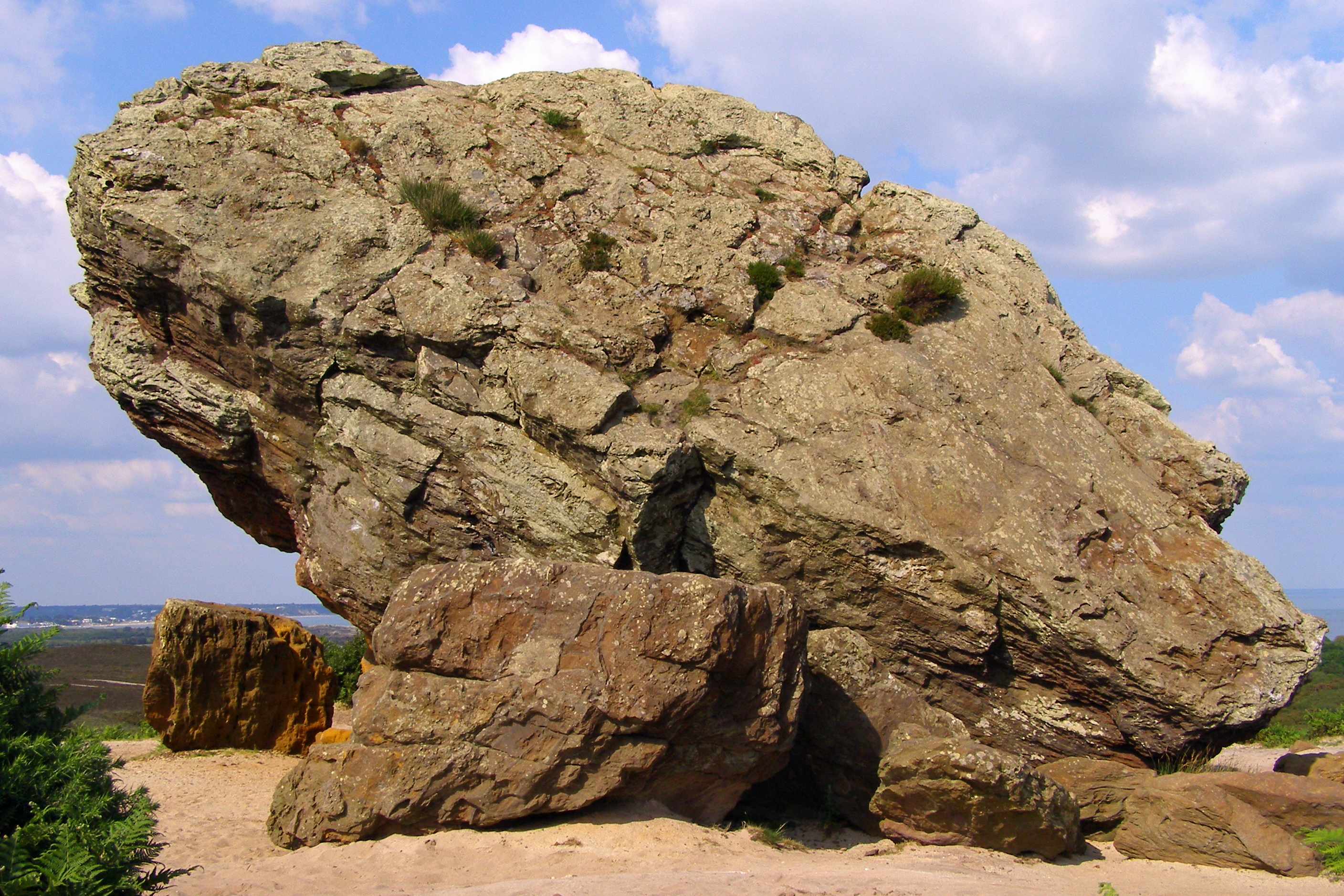
Agglestone Rock
Agglestone Rock, also known as the Devil's Anvil, is a sandstone block of about 400 tonnes weight, perched on a conical hill, approximately 1-mile (1.6...

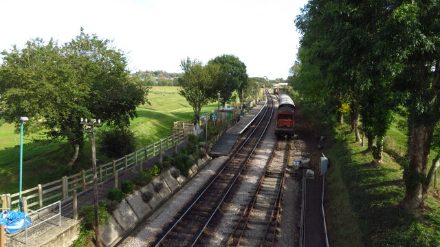
Swanage Railway
The Swanage Railway is a railway branch line from near Wareham, Dorset to Swanage, Dorset, England, opened in 1885 and now operated as a heritage railway...

Herston Halt railway station
Herston Halt railway station is a railway station located at Herston near Swanage, on the Isle of Purbeck in the English county of Dorset. It is an intermediate...
Nearby Amenities
Located within 500m of 50.629821,-1.9754311Have you been to Purbeck Hills?
Leave your review of Purbeck Hills below (or comments, questions and feedback).