The Cheviot Hills
Range Of Mountains, Range Of Hills in Northumberland
England
The Cheviot Hills
The Cheviot Hills, located in the county of Northumberland, England, form a range of mountains and hills that stretch across the border between England and Scotland. The hills are part of the larger Cheviot Hills range, which covers an area of approximately 1,000 square kilometers.
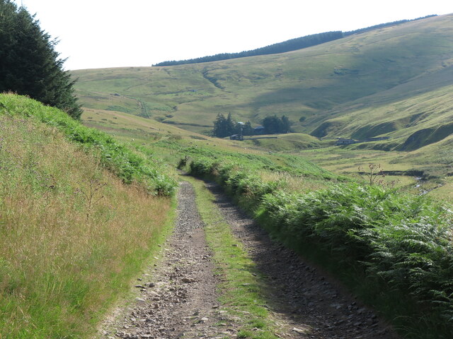
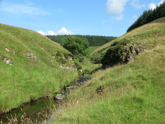
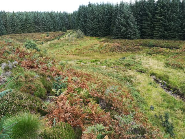
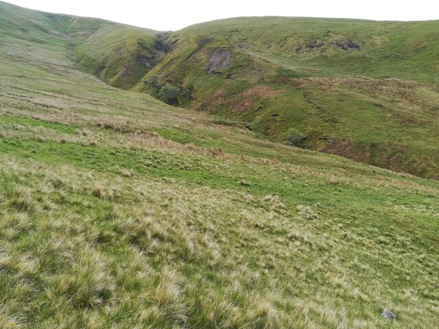
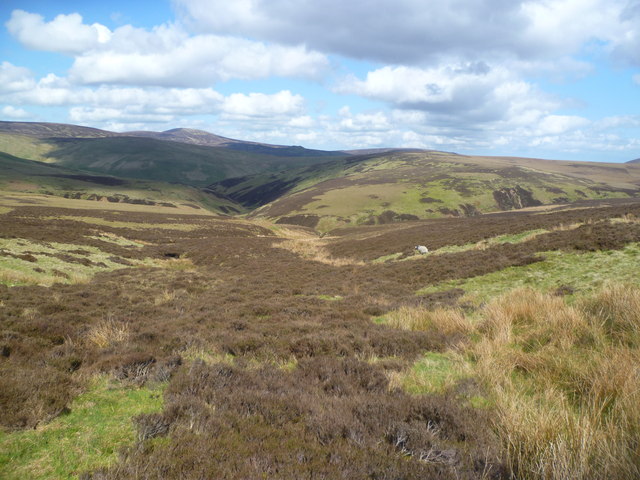
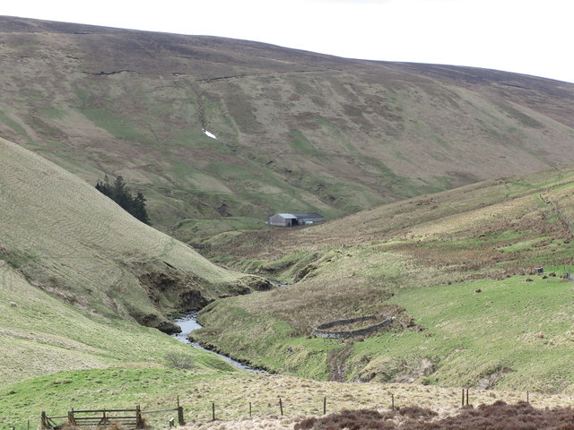
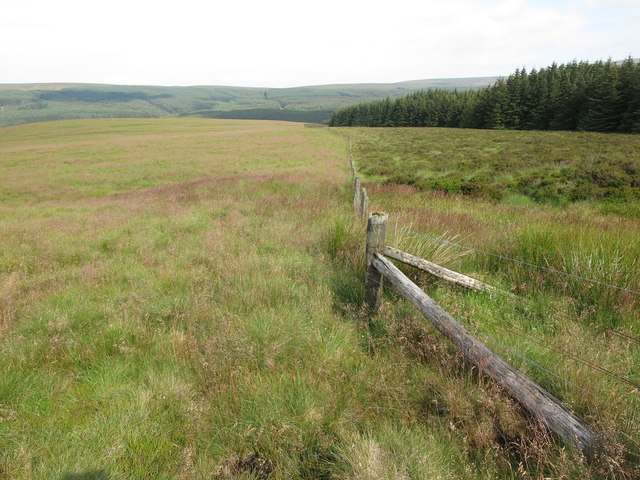
The Cheviot Hills are characterized by their rugged and picturesque landscapes, with rolling hills, steep slopes, and deep valleys. The highest peak in the range is The Cheviot, which stands at an elevation of 815 meters (2,674 feet) and offers stunning panoramic views of the surrounding area.
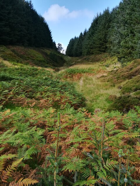
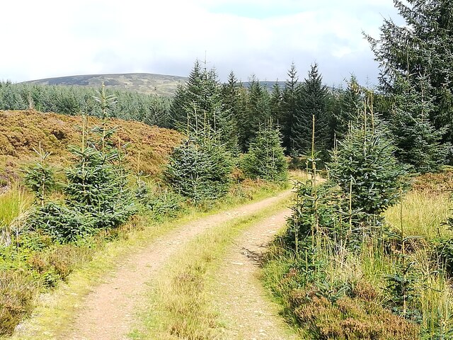
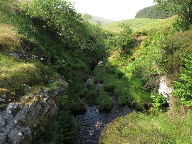
The hills are predominantly composed of volcanic and sedimentary rocks, which have been shaped by glacial activity over millions of years. As a result, the landscape is dotted with various geological features, including crags, tors, and basalt columns.
The Cheviot Hills are home to a diverse range of flora and fauna, with moorland vegetation covering much of the area. Heather, grasses, and wildflowers can be found throughout the hills, providing a colorful spectacle during the summer months. The hills are also a haven for wildlife, with red and roe deer, otters, and various bird species, including peregrine falcons and golden eagles, being commonly spotted.
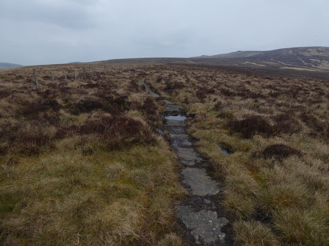
The Cheviot Hills have long been popular among outdoor enthusiasts, offering a range of recreational activities such as hiking, hill walking, and birdwatching. Several well-marked trails crisscross the hills, providing opportunities to explore the stunning landscapes and discover the rich history and heritage of the area.
Overall, the Cheviot Hills in Northumberland are a captivating and diverse range of mountains and hills, offering both natural beauty and recreational opportunities for visitors to enjoy.
If you have any feedback on the listing, please let us know in the comments section below.
The Cheviot Hills Images
Images are sourced within 2km of 55.436921/-2.1760653 or Grid Reference NT8815. Thanks to Geograph Open Source API. All images are credited.


The Cheviot Hills is located at Grid Ref: NT8815 (Lat: 55.436921, Lng: -2.1760653)
Unitary Authority: Northumberland
Police Authority: Northumbria
What 3 Words
///tasteful.pumps.select. Near Kirknewton, Northumberland
Nearby Locations
Related Wikis

Windy Gyle
Windy Gyle is a mountain in the Cheviot Hills range, on the border between England and Scotland. Like the other hills in the area, it is rounded and grass...

Kidland
Kidland is a former civil parish, now in the parish of Alwinton in Northumberland, England, about 2 miles (3 km) northwest of Alwinton village. In 1951...

Cheviot Hills
The Cheviot Hills (), or sometimes The Cheviots, are a range of uplands straddling the Anglo-Scottish border between Northumberland and the Scottish Borders...

The Cheviot
The Cheviot () is an extinct volcano and the highest summit in the Cheviot Hills and in the county of Northumberland. Located in the extreme north of England...
Barrow Burn Meadows
Barrow Burn Meadows is a Site of Special Scientific Interest (SSSI) in north Northumberland, England. The site is a species-rich hay meadow of a sort now...

Barrow Burn
Barrowburn is a hamlet in Upper Coquetdale in the county of Northumberland, England. It comprises a working farm with associated buildings and two holiday...

Shillhope Law
Shillhope Law is a hill in the southern Cheviots, a range of hills in Northumberland, England. Shillhope Law is a relatively unremarkable member of this...

Hedgehope Hill
Hedgehope Hill is a mountain in the Cheviot Hills of north Northumberland in northeast England, and categorised as a Hewitt. At a height of 714 metres...
Have you been to The Cheviot Hills?
Leave your review of The Cheviot Hills below (or comments, questions and feedback).