Cullaloe Hills

Range Of Mountains, Range Of Hills in Fife

Scotland

Cullaloe Hills

Mossmorran chemical plant Looking east from the northern entrance.
Mossmorran chemical plant Credit: M J Richardson

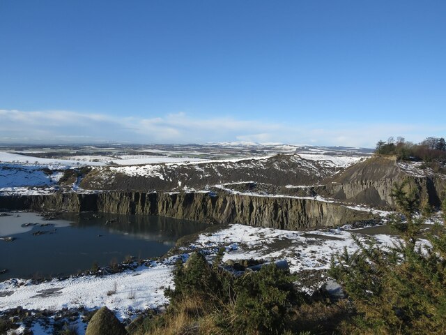
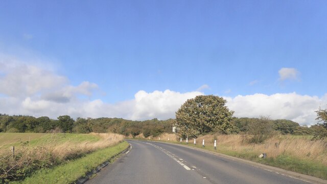
Cullaloe Hills, located in Fife, Scotland, is a range of hills that forms part of the Southern Uplands. Situated approximately 10 miles northwest of the town of Kirkcaldy, the hills offer stunning panoramic views of the surrounding landscape. The highest point in the range reaches an elevation of around 726 feet, providing visitors with a unique vantage point to appreciate the beauty of the region.

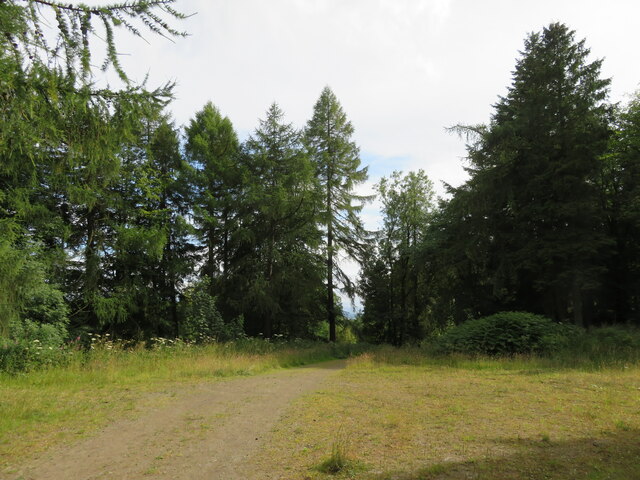
Covered in a mix of grasses and heather, the Cullaloe Hills are home to a diverse range of flora and fauna. Visitors can expect to see a variety of wildflowers, such as bluebells and primroses, as well as numerous bird species, including skylarks and meadow pipits. The hills also provide habitat for small mammals like rabbits and voles.

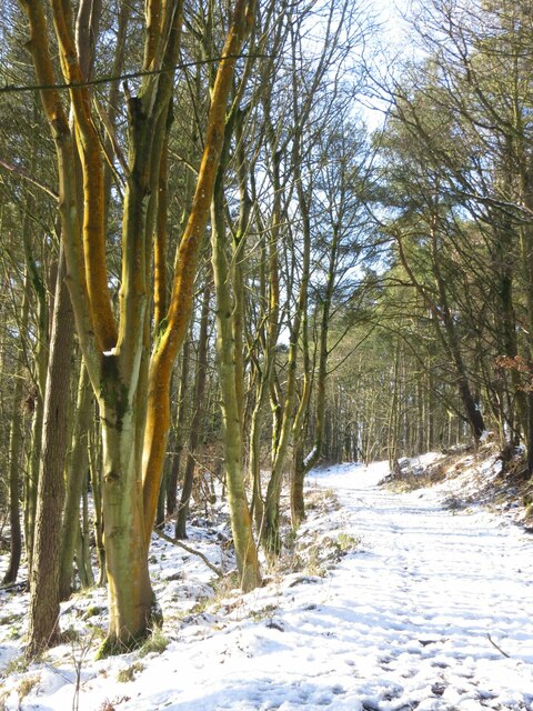
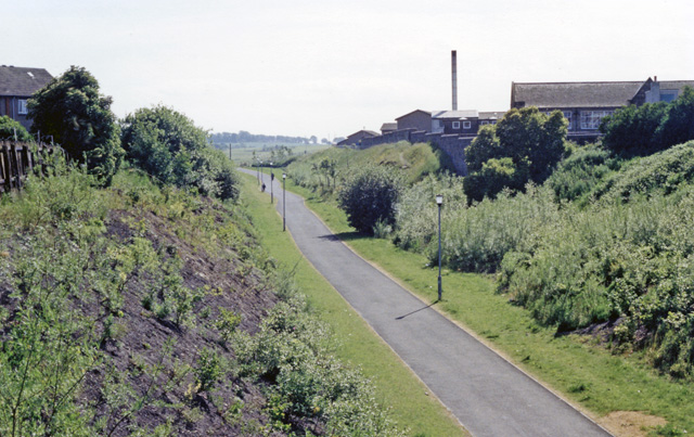
The area is popular with outdoor enthusiasts, offering opportunities for hiking, walking, and nature photography. Several well-marked trails traverse the hills, allowing visitors to explore the landscape at their own pace. Additionally, the Cullaloe Hills are part of a larger network of paths that connect to nearby attractions, such as Lochore Meadows Country Park.

Cullaloe Hills also hold historical significance, with several ancient sites scattered throughout the range. Archaeological remains, including burial mounds and stone circles, can be found, providing insight into the area's rich past.

Overall, Cullaloe Hills in Fife offer a peaceful and picturesque destination for those seeking natural beauty, wildlife encounters, and a glimpse into Scotland's ancient history.

If you have any feedback on the listing, please let us know in the comments section below.

Cullaloe Hills Images

Images are sourced within 2km of 56.078915/-3.3165956 or Grid Reference NT1888. Thanks to Geograph Open Source API. All images are credited.

Mossmorran chemical plant Looking east from the northern entrance.
Mossmorran chemical plant
Looking east from the northern entrance.
Mossmorran Chemical Plant The northern side of the complex, seen from an entrance from the A909.
Mossmorran Chemical Plant
The northern side of the complex, seen from an entrance from the A909.
Cloud over Fife An inversion, shown by the condensing cloud from the Mossmorran NGL Fractionation Plant, rising to a certain level and then drifting slowly to the east in almost calm and cold air.
Viewed from the Braid Hills, Edinburgh, 21km to the south. Obvious land marks, from L-R are, the Royal Edinburgh Hospital, Granton gasholder, tall chimney at Haymarket, Cluny Centre and church, Edinburgh Napier University at Merchiston, and churches at Holy Corner and Bruntsfield.
Cloud over Fife
An inversion, shown by the condensing cloud from the Mossmorran NGL Fractionation Plant, rising to a certain level and then drifting slowly to the east in almost calm and cold air. Viewed from the Braid Hills, Edinburgh, 21km to the south. Obvious land marks, from L-R are, the Royal Edinburgh Hospital, Granton gasholder, tall chimney at Haymarket, Cluny Centre and church, Edinburgh Napier University at Merchiston, and churches at Holy Corner and Bruntsfield.
Goat Quarry in winter Taken from Cullaloe Hills to the east.
Goat Quarry in winter
Taken from Cullaloe Hills to the east.
Kate Randall's Cottage, The Murrell, near Aberdour This ruined, simple cottage with attached outbuildings is thought to perhaps be the oldest, unaltered building of its type in the parish. The name of the cottage is taken from the last resident who lived here until the mid 1970s.
Kate Randall's Cottage, The Murrell, near Aberdour
This ruined, simple cottage with attached outbuildings is thought to perhaps be the oldest, unaltered building of its type in the parish. The name of the cottage is taken from the last resident who lived here until the mid 1970s.
Cullaloe Woods in winter
Cullaloe Temple in winter It's more of a folly than a temple, but makes a nice landmark for the square!
Cullaloe Temple in winter
It's more of a folly than a temple, but makes a nice landmark for the square!
Former doocot at Balram Now very much a ruin, this 17th Century dovecot once had the date 1688 inscribed above its entrance, as well as a monogram, apparently W S M O (or C). Sadly these are no longer visible.
Former doocot at Balram
Now very much a ruin, this 17th Century dovecot once had the date 1688 inscribed above its entrance, as well as a monogram, apparently W S M O (or C). Sadly these are no longer visible.
Balram Farmhouse Probably dates from the 18th Century and once had a sundial built into the south-western angle of the house.
Balram Farmhouse
Probably dates from the 18th Century and once had a sundial built into the south-western angle of the house.
A909 by Mossmorran Chemical Works
A909 north of junction at Bernard's Smithy, Fife
A909 crossing the Dour Burn
Harvested grass field in the Cullaloe Hills I don't know if taken as hay or for silage.
Harvested grass field in the Cullaloe Hills
I don't know if taken as hay or for silage.
Thistly field margin near Aberdour The road side edge of a hay field.
Thistly field margin near Aberdour
The road side edge of a hay field.
Forestry at Cullaloe Path and clearing, with Larches.
Forestry at Cullaloe
Path and clearing, with Larches.
Farmland at Cullaloe At the edge of the forest.
Farmland at Cullaloe
At the edge of the forest.
Oilseed Rape and weeds One of several very weedy crops in the area - the 'weed' is Scentless Mayweed [Tripleurospermum inodorum].
Oilseed Rape and weeds
One of several very weedy crops in the area - the 'weed' is Scentless Mayweed [Tripleurospermum inodorum].
Track into Cullaloe Nature Reserve From the B9157.
Track into Cullaloe Nature Reserve
From the B9157.
Show me another place!

Cullaloe Hills is located at Grid Ref: NT1888 (Lat: 56.078915, Lng: -3.3165956)

Unitary Authority: Fife

Police Authority: Fife

What 3 Words

///ages.supposing.exclaim. Near Aberdour, Fife

Nearby Locations

Cullaloe Hills

Related Wikis

Mossmorran

The Mossmorran Natural Gas Liquids (NGL) plant is part of the northern North Sea Brent oil and gas field system and is located on the outskirts of Cowdenbeath...

Aberdour railway station

Aberdour railway station is a railway station in the village of Aberdour, Fife, Scotland. The station is managed by ScotRail and is on the Fife Circle...
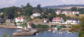
Aberdour

Aberdour ( ; Scots: , Scottish Gaelic: Obar Dobhair) is a scenic and historic village on the south coast of Fife, Scotland. It is on the north shore of...
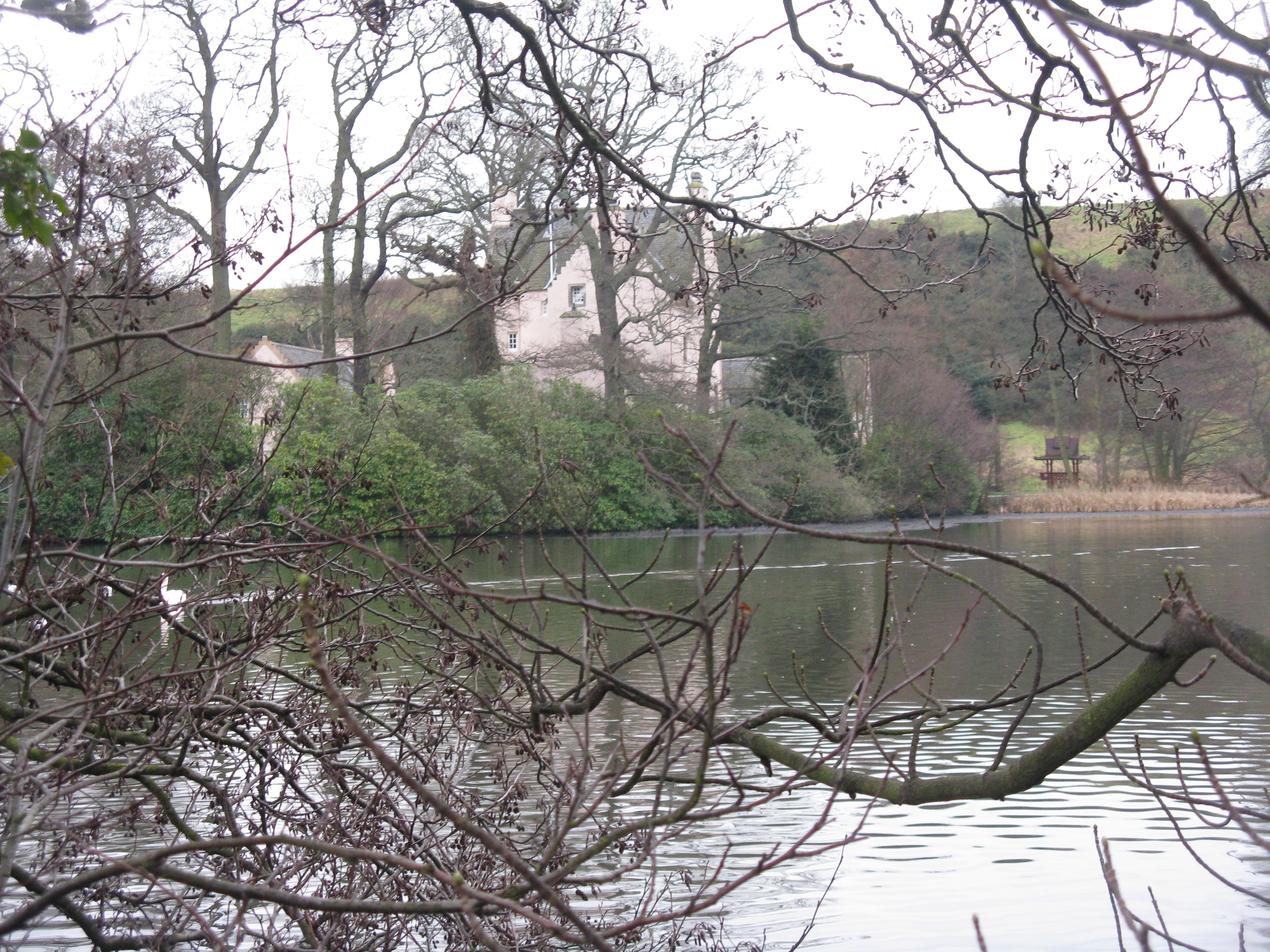
Couston Castle

Couston Castle is an L-plan tower house dating from the late sixteenth or early seventeenth centuries, just north east of Dalgety Bay, at the edge of Otterston...

Kirkcaldy and Cowdenbeath (UK Parliament constituency)

Kirkcaldy and Cowdenbeath is a county constituency representing the areas around the towns of Kirkcaldy and Cowdenbeath, in Fife, Scotland, in the House...

Cowdenbeath Old railway station

Cowdenbeath railway station served the town of Cowdenbeath, Fife, Scotland, from 1848 to 1919 on the Edinburgh and Northern Railway. == History == The...

Crossgates railway station (Fife)

Crossgates Fife railway station co-served the village of Crossgates, Fife, Scotland, from 1848 to 1949 on the Edinburgh and Northern Railway. == History... ==

Crossgates, Fife

Crossgates is a village in Fife, Scotland. It is located close to the junction of the M90 and A92, about two miles east of Dunfermline and a similar distance...

Nearby Amenities

Located within 500m of 56.078915,-3.3165956
Cullaloe Hills
Ele: 219
Natural: peak
Lat/Long: 56.0828259/-3.3151874
The data included in this document is from www.openstreetmap.org. The data is made available under ODbL.

Have you been to Cullaloe Hills?

Leave your review of Cullaloe Hills below (or comments, questions and feedback).