Cambrian Mountains
Range Of Mountains, Range Of Hills in Merionethshire
Wales
Cambrian Mountains

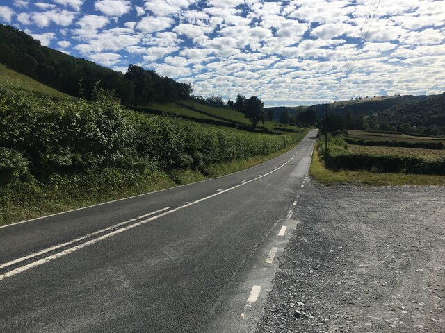
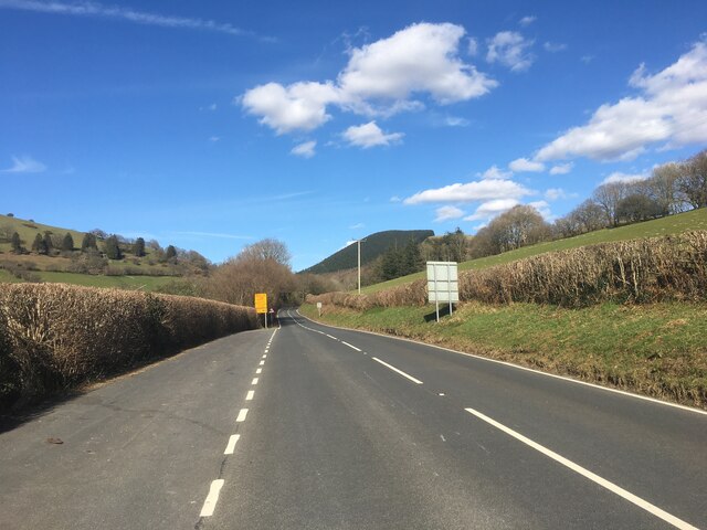
The Cambrian Mountains, located in Merionethshire, is a range of mountains and hills in Wales. Stretching across an area of approximately 2,500 square kilometers, the range is known for its stunning landscapes, rugged terrains, and diverse wildlife.
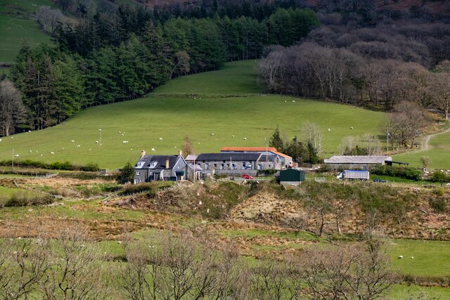
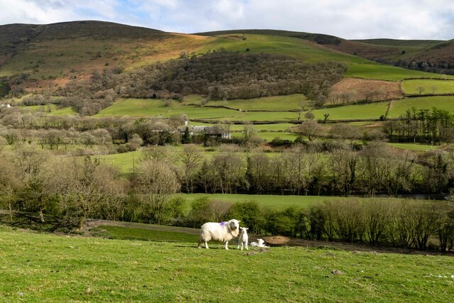
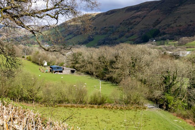
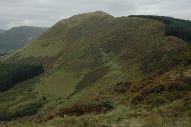
The Cambrian Mountains offer a mix of mountain peaks, rolling hills, deep valleys, and picturesque lakes. The highest peak in the range is Plynlimon, standing at an impressive 752 meters. The mountains are primarily composed of ancient rocks, including slate, shale, and graywacke, which have been shaped by millions of years of geological processes.
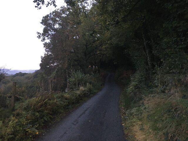
The region is characterized by its wild and untouched beauty, with vast areas of heather moorland, dense forests, and cascading waterfalls. It is home to a rich variety of flora and fauna, including red kites, peregrine falcons, and rare plants like the Snowdon lily.
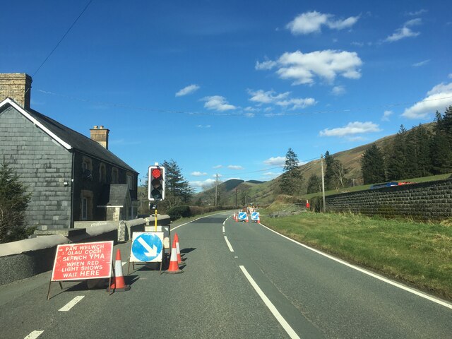
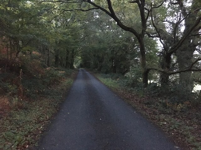
Due to its remote location and limited human intervention, the Cambrian Mountains have retained their natural charm and tranquility. The range offers ample opportunities for outdoor activities such as hiking, mountain biking, and bird-watching. Numerous walking trails and paths crisscross the area, allowing visitors to explore its hidden gems.
The Cambrian Mountains also hold historical and cultural significance. The region is dotted with ancient ruins, standing stones, and burial chambers, reflecting its long and storied past. It is a place where legends and folklore intertwine with the landscape, captivating visitors with its mystique.
Overall, the Cambrian Mountains in Merionethshire offer a unique and enchanting experience, providing a sanctuary for nature enthusiasts, adventure seekers, and those seeking solace in the midst of unspoiled wilderness.
If you have any feedback on the listing, please let us know in the comments section below.
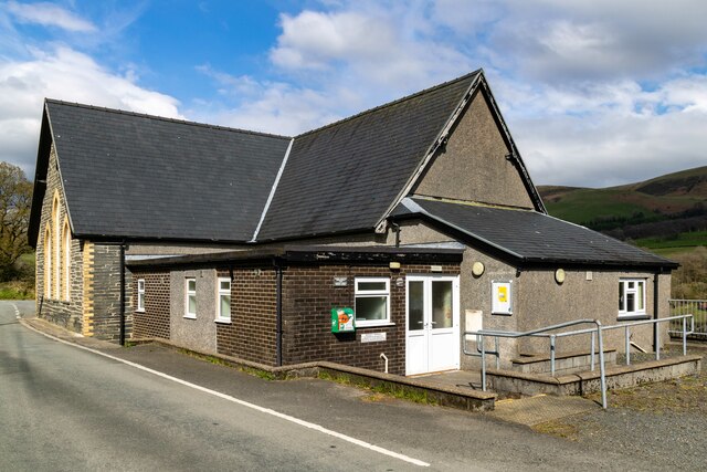
Cambrian Mountains Images
Images are sourced within 2km of 52.685577/-3.6903015 or Grid Reference SH8511. Thanks to Geograph Open Source API. All images are credited.


Cambrian Mountains is located at Grid Ref: SH8511 (Lat: 52.685577, Lng: -3.6903015)
Unitary Authority: Powys
Police Authority: Dyfed Powys
What 3 Words
///galloped.envoy.latched. Near Cwm-Llinau, Powys
Nearby Locations
Related Wikis

Mallwyd
Mallwyd () is a small village at the most southern end of Gwynedd, Wales, in the Dinas Mawddwy community, in the valley of the River Dyfi. It lies on the...

Aberangell railway station
Aberangell railway station was an intermediate railway station on the Mawddwy Railway which ran from Cemmaes Road to Dinas Mawddy in the Welsh county...

Aberangell
Aberangell () is a village in Gwynedd, Wales. == Geography == Aberangell stands at the confluence of the Afon Angell and the Afon Dyfi, and lies within...

Afon Angell
The Afon Angell is a river in Gwynedd, Mid Wales. The river flows eastwards from its source on the eastern flank of Mynydd Dolgoed, joining the Afon Dyfi...
Moel y Ffridd
Moel y Ffridd (also known as Foel y Ffridd) is a mountain in Wales. It lies north-west of the village of Aberangell and west of Mallwyd and is one of the...
Meirion Mill Railway
The Meirion Mill Railway was a narrow gauge railway that operated at Meirion Mill in Dinas Mawddwy, Wales. It only operated for three years from 1975 to...

Pont Minllyn
Pont Minllyn (also known as Pont-y-Ffinant or Pontrusk Bridge) is a bridge spanning the Afon Dyfi, north of the village of Mallwyd, in Gwynedd, Wales....
Foel Dinas
Foel Dinas is a mountain in Wales. It is the north-westernmost peak of the Dyfi Hills and sits above the town of Dinas Mawddwy. In the 1870s its eastern...
Related Videos
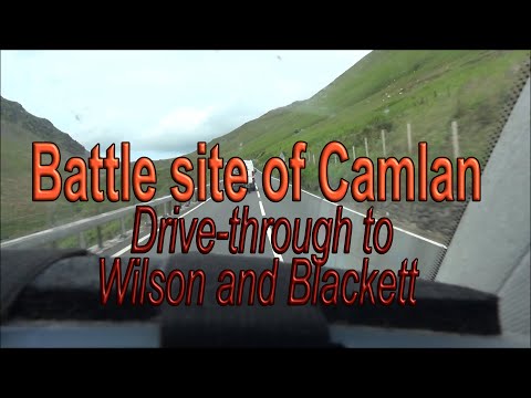
Camlan Drive through and story
Arthur's battle site of Camlan - Wilson & Blackett reading to a drive through. (New) WELSH HISTORY STORIES Channel ...
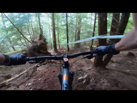
Welsh Enduro Dyfi Stage 1 Practice
First Welsh Enduro stage for me. Tentative!
Nearby Amenities
Located within 500m of 52.685577,-3.6903015Have you been to Cambrian Mountains?
Leave your review of Cambrian Mountains below (or comments, questions and feedback).