Linden

Settlement in Gloucestershire Gloucester

England

Linden

The entrance to Gloucester Docks The River Severn is in flood and is in danger of getting higher than the water level in the lock into Gloucester Docks <span class="nowrap"><a title="http://www.gloucesterdocks.me.uk/gloucester/docks.htm" rel="nofollow ugc noopener" href="http://www.gloucesterdocks.me.uk/gloucester/docks.htm">Link</a><img style="margin-left:2px;" alt="External link" title="External link - shift click to open in new window" src="https://s1.geograph.org.uk/img/external.png" width="10" height="10"/></span> so defences have been erected! The Quay, normally visible on the right is submerged. On the other side of the road is Gloucester Gaol.
The entrance to Gloucester Docks Credit: David Stowell

Linden is a small village located in the county of Gloucestershire, England. Situated on the outskirts of Gloucester city, Linden is a residential area that offers a peaceful and picturesque setting for its residents. The village is surrounded by beautiful countryside, with rolling hills and green fields, providing a tranquil atmosphere for those seeking a rural lifestyle.

Linden is well-connected to nearby cities and towns, with easy access to the M5 motorway and regular bus services. The village is also in close proximity to Gloucester train station, making it convenient for commuting or exploring the wider region.

Despite its relatively small size, Linden boasts a range of amenities and facilities to cater to the needs of its residents. There are several local shops, including convenience stores and small businesses, providing everyday essentials. Additionally, the village has a primary school, making it an attractive location for families with young children.

For recreational activities, Linden benefits from its proximity to the Cotswolds, a designated Area of Outstanding Natural Beauty. Residents can enjoy stunning walking trails, cycling routes, and opportunities for outdoor pursuits. The nearby city of Gloucester offers a wider range of amenities, including shopping centers, restaurants, and cultural attractions.

Overall, Linden is a charming village that offers a peaceful lifestyle amidst beautiful countryside, while still providing convenient access to nearby urban areas. Its close-knit community and range of amenities make it an appealing place to live for those seeking a balance between rural tranquility and easy access to amenities.

If you have any feedback on the listing, please let us know in the comments section below.
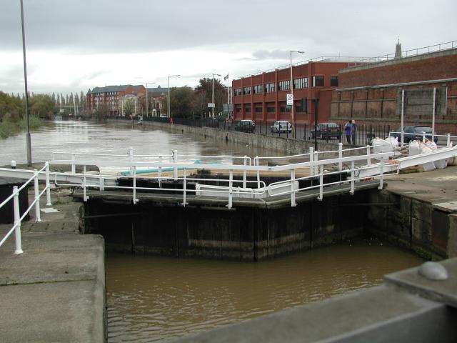
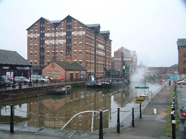
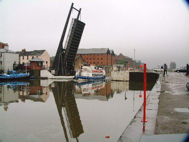
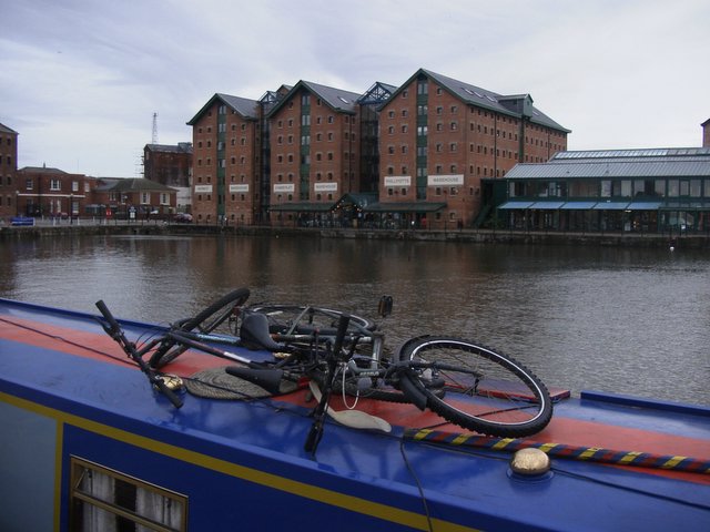
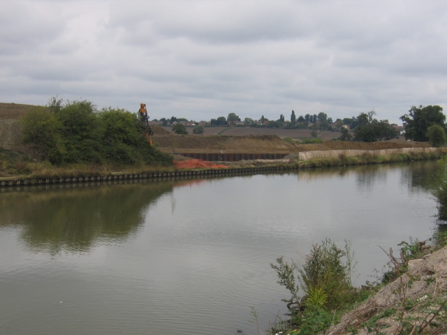
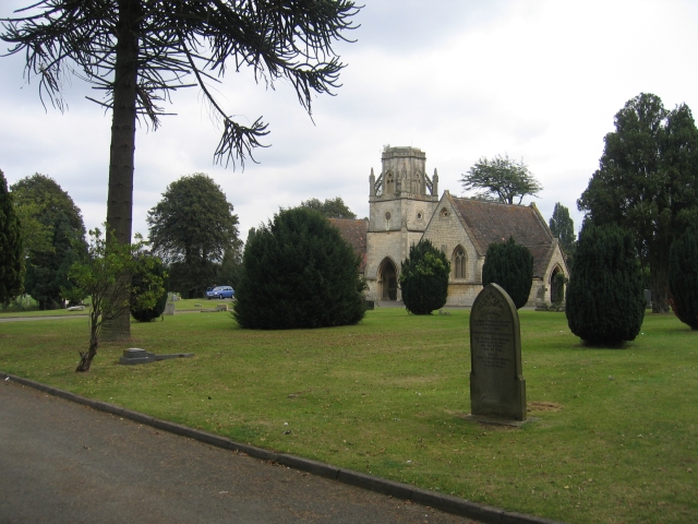
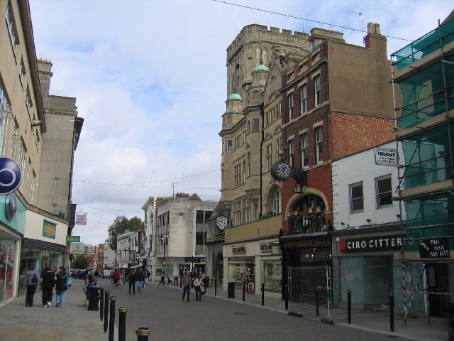
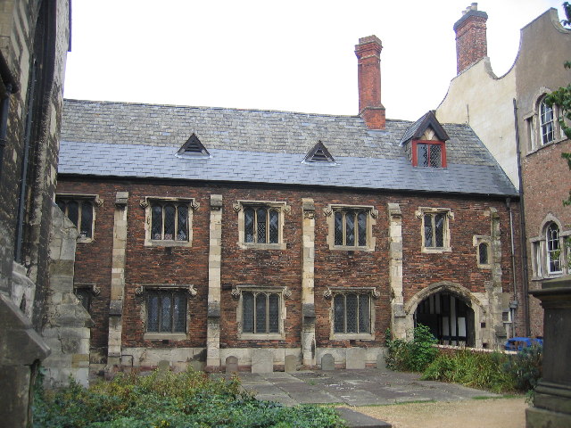
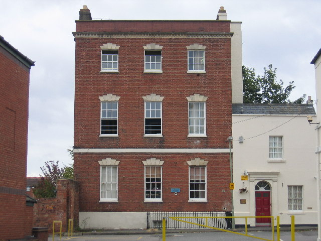
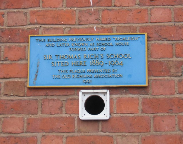
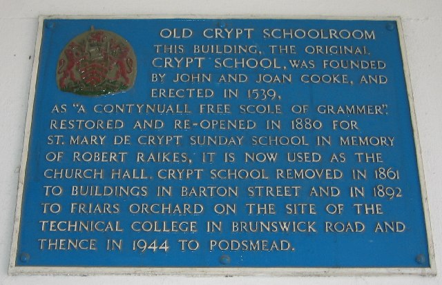
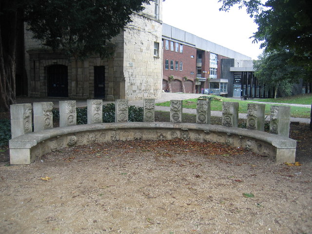
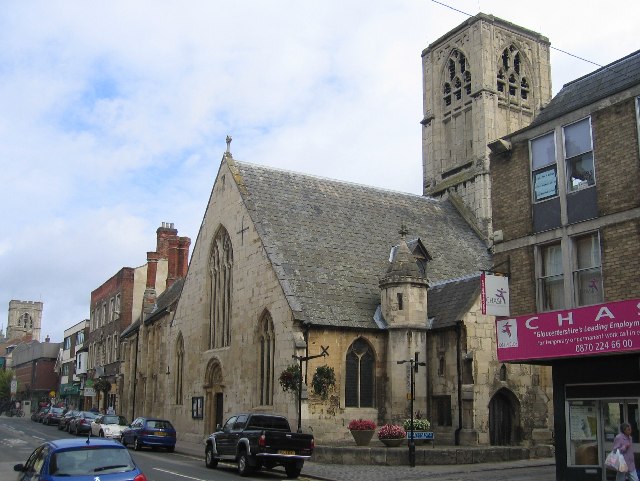
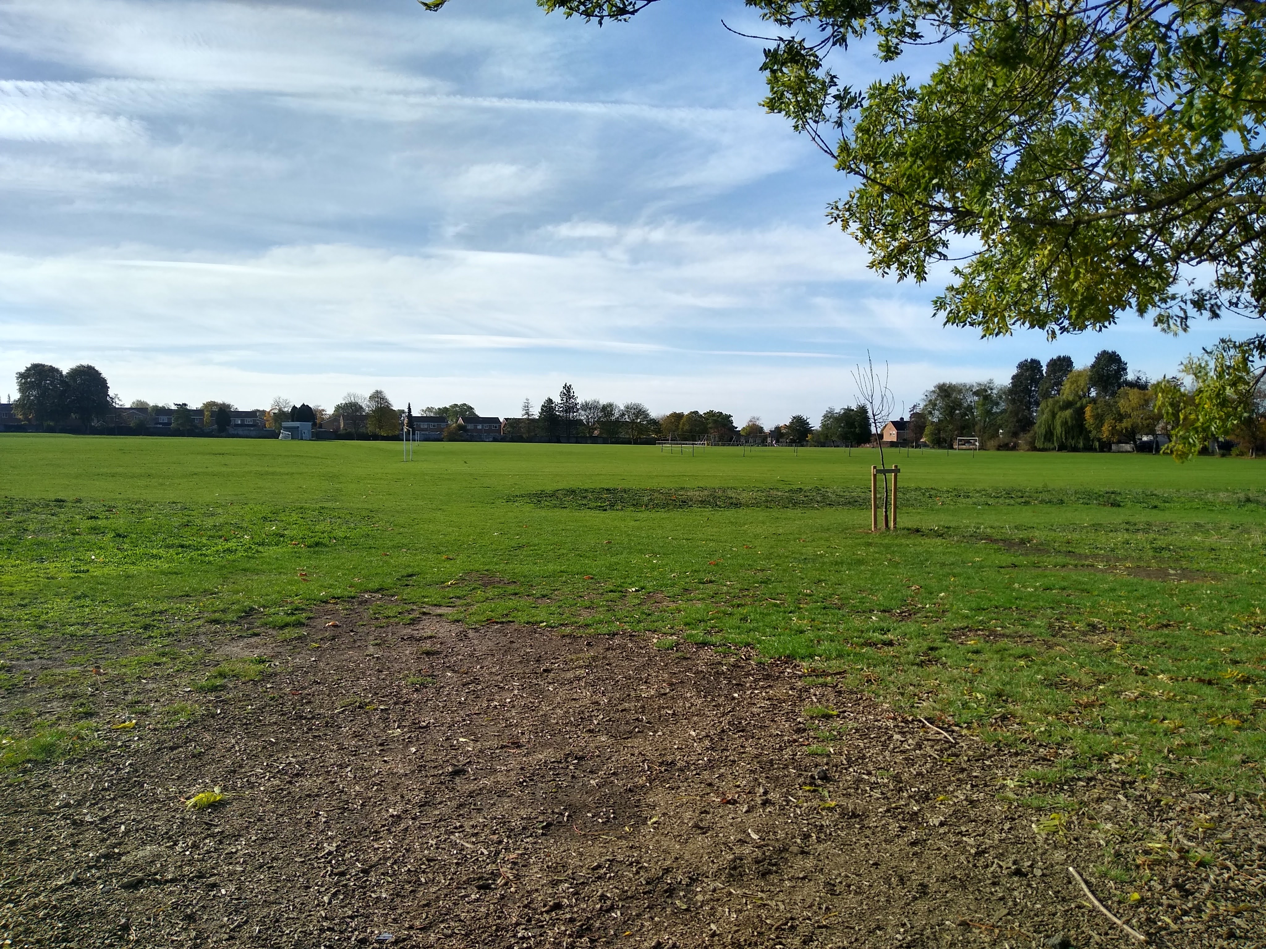
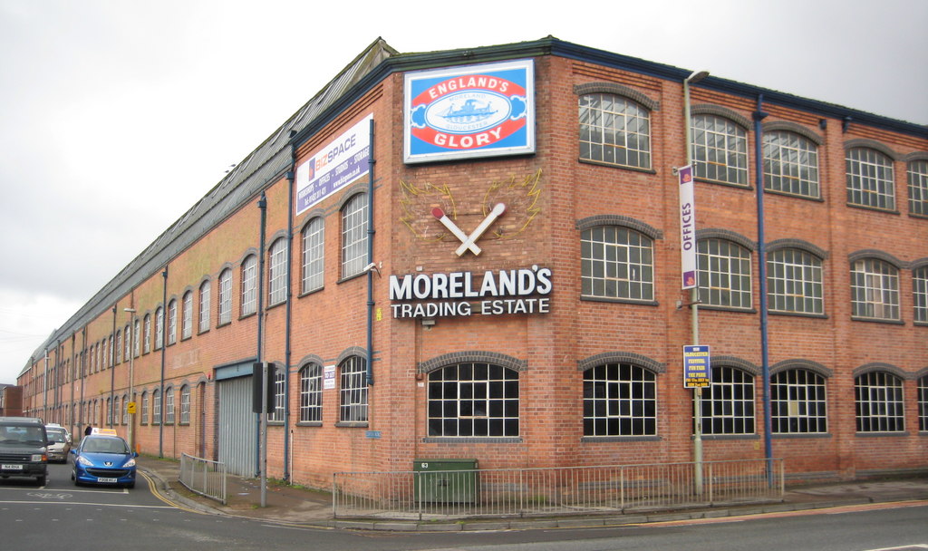
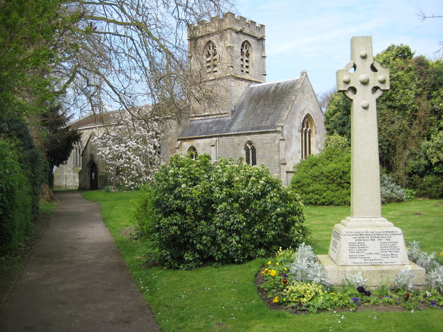
Linden Images

Images are sourced within 2km of 51.847937/-2.254305 or Grid Reference SO8216. Thanks to Geograph Open Source API. All images are credited.

The entrance to Gloucester Docks The River Severn is in flood and is in danger of getting higher than the water level in the lock into Gloucester Docks <span class="nowrap"><a title="http://www.gloucesterdocks.me.uk/gloucester/docks.htm" rel="nofollow ugc noopener" href="http://www.gloucesterdocks.me.uk/gloucester/docks.htm">Link</a><img style="margin-left:2px;" alt="External link" title="External link - shift click to open in new window" src="https://s1.geograph.org.uk/img/external.png" width="10" height="10"/></span> so defences have been erected! The Quay, normally visible on the right is submerged. On the other side of the road is Gloucester Gaol.
The entrance to Gloucester Docks
The River Severn is in flood and is in danger of getting higher than the water level in the lock into Gloucester Docks LinkExternal link so defences have been erected! The Quay, normally visible on the right is submerged. On the other side of the road is Gloucester Gaol.
Gloucester Docks National Waterways Museum. Steam dredger getting up a head of steam in the National waterways Museum
Gloucester Docks
National Waterways Museum. Steam dredger getting up a head of steam in the National waterways Museum
Gloucester Docks Gloucester Docks. Boat trip returning into the basin through a lifting road bridge.
Gloucester Docks
Gloucester Docks. Boat trip returning into the basin through a lifting road bridge.
Docks at Gloucester Recently refurbished and turned into a tourist attraction with new waterfront flats.
Docks at Gloucester
Recently refurbished and turned into a tourist attraction with new waterfront flats.
High Orchard Derelict buildings in Gloucester's dockland, looking north
High Orchard
Derelict buildings in Gloucester's dockland, looking north
The Crypt School, Gloucester. The school was founded in 1539 at the Church of St Mary de Crypt in the centre of Gloucester (see <a href="https://www.geograph.org.uk/photo/61705">SO8318 : The Old Crypt School Room</a>).  The school moved to these premises in 1944 as the Crypt Grammar School, and today has a special status in Science.  See:- <span class="nowrap"><a title="http://www.cryptschool.org/" rel="nofollow ugc noopener" href="http://www.cryptschool.org/">Link</a><img style="margin-left:2px;" alt="External link" title="External link - shift click to open in new window" src="https://s1.geograph.org.uk/img/external.png" width="10" height="10"/></span> On the day the photograph was taken a bring and buy sale was in full swing on the playing fields.  In the distance the clump of trees on the top of May Hill can be seen.
The Crypt School, Gloucester.
The school was founded in 1539 at the Church of St Mary de Crypt in the centre of Gloucester (see SO8318 : The Old Crypt School Room). The school moved to these premises in 1944 as the Crypt Grammar School, and today has a special status in Science. See:- LinkExternal link On the day the photograph was taken a bring and buy sale was in full swing on the playing fields. In the distance the clump of trees on the top of May Hill can be seen.
Crypt School, Podsmead, Gloucester The playing fields and entrance to school drive with the school in amongst the trees.
Crypt School, Podsmead, Gloucester
The playing fields and entrance to school drive with the school in amongst the trees.
St Barnabas's Church, Gloucester By the roundabout at the junction of Stroud Road and Cole Avenue.
St Barnabas's Church, Gloucester
By the roundabout at the junction of Stroud Road and Cole Avenue.
Gloucester and Sharpness Canal Two Mile Bend The canal runs parallel to the Bristol Road out of Gloucester in this square before executing a sharp "S" bend to the left of the photographer.  The excavations visible on the other side of the canal are to straighten out this sharp bend, <span class="nowrap"><a title="http://www.gloucesterdocks.me.uk/canal/twomilecut/2mcutplans.htm" rel="nofollow ugc noopener" href="http://www.gloucesterdocks.me.uk/canal/twomilecut/2mcutplans.htm">Link</a><img style="margin-left:2px;" alt="External link" title="External link - shift click to open in new window" src="https://s1.geograph.org.uk/img/external.png" width="10" height="10"/></span> unfortunately not led by the needs of the sea going ships which have used this canal, but instead to gain the necessary clearances to build a new western road bypass for Gloucester!
Gloucester and Sharpness Canal Two Mile Bend
The canal runs parallel to the Bristol Road out of Gloucester in this square before executing a sharp "S" bend to the left of the photographer. The excavations visible on the other side of the canal are to straighten out this sharp bend, LinkExternal link unfortunately not led by the needs of the sea going ships which have used this canal, but instead to gain the necessary clearances to build a new western road bypass for Gloucester!
Tredworth Cemetery, Gloucester The chapel in this large cemetery near the old Gloucester bypass.
Tredworth Cemetery, Gloucester
The chapel in this large cemetery near the old Gloucester bypass.
Tuffley Avenue, Gloucester The house on the left is typical of many in this part of this mainly residential square.  The building on the right replaced a house demolished when a 'plane crashed into it on the 27th March 1963.  A twin engined Vickers Varsity aircraft crashed onto the house. The three elderly occupants survived unhurt apart from shock and scratches, however the house and the neighbouring property that the Drury family also owned were flooded with aviation fuel.  The plane was on a training run from Staverton Airport and tragically the crew of two were killed. See:- <span class="nowrap"><a title="http://aviation-safety.net/database/record.php?id=19630327-0" rel="nofollow ugc noopener" href="http://aviation-safety.net/database/record.php?id=19630327-0">Link</a><img style="margin-left:2px;" alt="External link" title="External link - shift click to open in new window" src="https://s1.geograph.org.uk/img/external.png" width="10" height="10"/></span> and <span class="nowrap"><a title="http://www.visit-gloucestershire.co.uk/boards/topic/72-g-apaz-the-tuffley-varsity/" rel="nofollow ugc noopener" href="http://www.visit-gloucestershire.co.uk/boards/topic/72-g-apaz-the-tuffley-varsity/">Link</a><img style="margin-left:2px;" alt="External link" title="External link - shift click to open in new window" src="https://s1.geograph.org.uk/img/external.png" width="10" height="10"/></span> .
From a personal perspective I remember cycling home from school nearby and seeing the area cordonned off and the remains of the fuselage embedded in the top half of the house.
Tuffley Avenue, Gloucester
The house on the left is typical of many in this part of this mainly residential square. The building on the right replaced a house demolished when a 'plane crashed into it on the 27th March 1963. A twin engined Vickers Varsity aircraft crashed onto the house. The three elderly occupants survived unhurt apart from shock and scratches, however the house and the neighbouring property that the Drury family also owned were flooded with aviation fuel. The plane was on a training run from Staverton Airport and tragically the crew of two were killed. See:- LinkExternal link and LinkExternal link . From a personal perspective I remember cycling home from school nearby and seeing the area cordonned off and the remains of the fuselage embedded in the top half of the house.
The Cross, Gloucester The centre of the old Roman town, looking from Southgate Street into Northgate Street, with Eastgate Street to the right just beyond the tower, and Westgate Street off to the left on the opposite side.
The Cross, Gloucester
The centre of the old Roman town, looking from Southgate Street into Northgate Street, with Eastgate Street to the right just beyond the tower, and Westgate Street off to the left on the opposite side.
The Old Crypt School Room The original school room of the Crypt School, founded in 1539, attached to St Mary de Crypt church from which the school derived its name (see also <a href="https://www.geograph.org.uk/photo/61861">SO8318 : Plaque on Old Crypt Schoolroom</a> ). Since 1944 the school has been sited at Podsmead nearer the outskirts of the city see <a href="https://www.geograph.org.uk/photo/59401">SO8215 : The Crypt School, Gloucester.</a>
The Old Crypt School Room
The original school room of the Crypt School, founded in 1539, attached to St Mary de Crypt church from which the school derived its name (see also SO8318 : Plaque on Old Crypt Schoolroom ). Since 1944 the school has been sited at Podsmead nearer the outskirts of the city see SO8215 : The Crypt School, Gloucester.
Richleigh, Barton Street, Gloucester The former site of Sir Thomas Rich's school from 1889 to 1964 before it moved to Oxleaze - see <a href="https://www.geograph.org.uk/photo/59396">SO8519 : Sir Thomas Rich's School, Gloucester</a>. The blue plaque explains the history and can be seen on more detail on <a href="https://www.geograph.org.uk/photo/61709">SO8318 : Plaque on the front of Richleigh</a>
Richleigh, Barton Street, Gloucester
The former site of Sir Thomas Rich's school from 1889 to 1964 before it moved to Oxleaze - see SO8519 : Sir Thomas Rich's School, Gloucester. The blue plaque explains the history and can be seen on more detail on SO8318 : Plaque on the front of Richleigh
Plaque on the front of Richleigh The plaque visible on the front of the building in <a href="https://www.geograph.org.uk/photo/61708">SO8318 : Richleigh, Barton Street, Gloucester</a>
Plaque on the front of Richleigh
The plaque visible on the front of the building in SO8318 : Richleigh, Barton Street, Gloucester
Plaque on Old Crypt Schoolroom This plaque is mounted on the wall of the old schoolroom <a href="https://www.geograph.org.uk/photo/61705">SO8318 : The Old Crypt School Room</a> under the archway over St Mary's Lane (also known as Marylebone).
Plaque on Old Crypt Schoolroom
This plaque is mounted on the wall of the old schoolroom SO8318 : The Old Crypt School Room under the archway over St Mary's Lane (also known as Marylebone).
Semi-circular seat, St Mary de Crypt Churchyard, Gloucester An unusual item of stone-masonry in this historic churchyard.
Semi-circular seat, St Mary de Crypt Churchyard, Gloucester
An unusual item of stone-masonry in this historic churchyard.
St Mary de Crypt Church, Southgate Street, Gloucester The church seen looking north along Southgate Street, with the Old Crypt Schoolroom beyond.  The church was first recorded c1140 when it was known as the Church of the Blessed Mary within the Southgate.  The present structure is the result of a major rebuilding that took place in the late 14th century.  It incorporated some of the earlier 12th and 13th century work.  Further alterations took place in the 15th and 16th centuries. Below the western end of the nave lies the crypt alluded to in the name of the church.

Gloucester's famous 18th century preacher, George Whitefield delivered his first sermon after ordination in 1734 from the 17th century pulpit in the nave. See also <span class="nowrap"><a title="http://www.citybenefice.com/smdc_history.html" rel="nofollow ugc noopener" href="http://www.citybenefice.com/smdc_history.html">Link</a><img style="margin-left:2px;" alt="External link" title="External link - shift click to open in new window" src="https://s1.geograph.org.uk/img/external.png" width="10" height="10"/></span>
St Mary de Crypt Church, Southgate Street, Gloucester
The church seen looking north along Southgate Street, with the Old Crypt Schoolroom beyond. The church was first recorded c1140 when it was known as the Church of the Blessed Mary within the Southgate. The present structure is the result of a major rebuilding that took place in the late 14th century. It incorporated some of the earlier 12th and 13th century work. Further alterations took place in the 15th and 16th centuries. Below the western end of the nave lies the crypt alluded to in the name of the church. Gloucester's famous 18th century preacher, George Whitefield delivered his first sermon after ordination in 1734 from the 17th century pulpit in the nave. See also LinkExternal link
Show me another place!

Linden is located at Grid Ref: SO8216 (Lat: 51.847937, Lng: -2.254305)

Administrative County: Gloucestershire

District: Gloucester

Police Authority: Gloucestershire

What 3 Words

///divisions.sorry.began. Near Gloucester, Gloucestershire

Nearby Locations

Linden

Related Wikis

Moreland, Gloucester

Moreland is an area and electoral ward in the City of Gloucester, Gloucestershire, England. The area is commonly known locally as Linden: the electoral...

Wagon Works Ground

Wagon Works Ground is a cricket ground in Gloucester, Gloucestershire. The ground was owned by the Gloucester Railway Carriage and Wagon Company. ��2...

Bristol Road

Bristol Road in the City of Gloucester dates from the medieval period. It runs between Southgate Street in the north and Quedgeley in the south where it...

Podsmead

Podsmead is a district of Gloucester approximately one mile from the historic city centre. With the development of Quedgeley and Kingsway Village, Podsmead...

Norfolk Buildings

Norfolk Buildings is a terrace of grade II listed houses at 73-91 Bristol Road, Gloucester, on the east side between Theresa Street and Alma Place. The...

Ribston Hall High School

Ribston Hall High School is a selective grammar school with academy status in Gloucester, England, for girls between the ages of 11 and 18. It was founded...
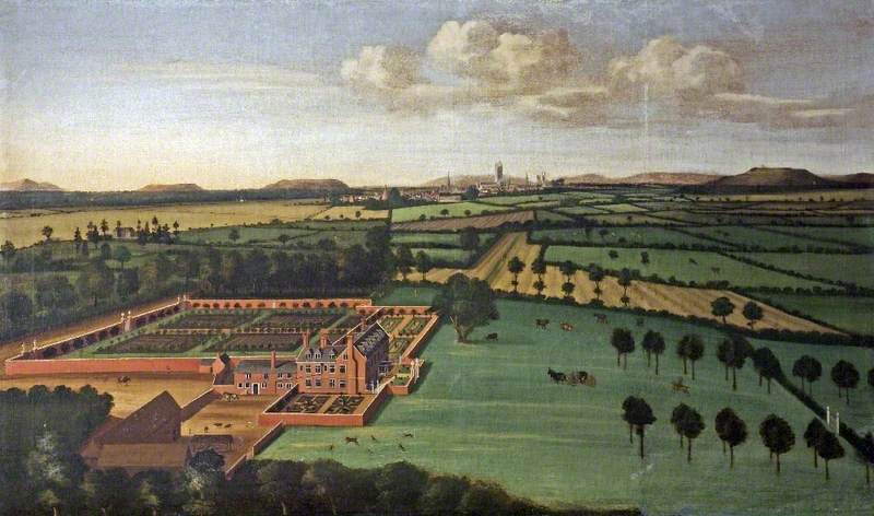
Hempsted Court

Hempsted Court was a country house at Hempsted near Gloucester in England. It was the home of the Lysons family. It was demolished in 1962 and replaced...

Hempsted

Hempsted is a suburban village and former civil parish, on the edge of Gloucester in the county of Gloucestershire, England. The parish was abolished in...

Nearby Amenities

Located within 500m of 51.847937,-2.254305
Traffic Signals
Lat/Long: 51.8497447/-2.258205
Mini Roundabout
Lat/Long: 51.8495355/-2.2481685
Source: Bing
Traffic Calming: cushion
Lat/Long: 51.8475849/-2.2499052
Turning Circle
Lat/Long: 51.8486119/-2.2474789
Turning Circle
Lat/Long: 51.8463824/-2.2489234
Traffic Calming: table
Lat/Long: 51.8498823/-2.2496004
Traffic Signals
Lat/Long: 51.8472105/-2.25274
Turning Circle
Lat/Long: 51.8480308/-2.2571845
Pub
The Avenue
Brand: Marston's
Brand Wikidata: Q6773982
Website: https://www.avenuepub.co.uk/
Lat/Long: 51.8498227/-2.258002
Traffic Calming: hump
Lat/Long: 51.8470861/-2.2553006
Tuffley
Is In: Gloucester, Gloucestershire, England, UK
Place: suburb
Lat/Long: 51.8474679/-2.2529125
Lidl
Addr City: Gloucester
Addr Housenumber: 250
Addr Postcode: GL1 5TE
Addr Street: Bristol Road
Brand: Lidl
Brand Wikidata: Q151954
Check Date: 2023-01-12
Fhrs Id: 11611
Opening Hours: Mo-Sa 08:00-22:00; Su 10:00-16:00
Operator: Lidl
Payment Mastercard: yes
Payment Visa: yes
Ref Vatin: GB350396892
Shop: supermarket
Source: survey
Stroller: yes
Website: https://www.lidl.co.uk/s/en-GB/store-finder/gloucester/bristol-road/
Wheelchair: yes
Lat/Long: 51.8501084/-2.2591605
Ele: 22.7166748
Note: Edge of rec
Lat/Long: 51.8459246/-2.2525167
Bus Stop
The Oval
Bus: yes
Ele: 19.3521729
Naptan AtcoCode: 1600GLA57016
Naptan Bearing: SE
Naptan CommonName: The Oval
Naptan Indicator: before
Naptan NaptanCode: glogmtpa
Naptan PlusbusZoneRef: GLOSTER
Naptan Street: Tuffley Avenue
Naptan Verified: no
Public Transport: platform
Ref: GLA57016
Lat/Long: 51.8464637/-2.2510437
Bus Stop
Podsmead Road
Naptan AtcoCode: 1600GLB064
Naptan Bearing: NW
Naptan CommonName: Podsmead Rd
Naptan NaptanCode: gloawmtg
Naptan PlusbusZoneRef: GLOSTER
Naptan Street: Tuffley Ave
Naptan Verified: yes
Note: Unfortunately no reference on stop
Source: naptan_import
Lat/Long: 51.847504/-2.2534579
Post Box
Brand: Royal Mail
Brand Wikidata: Q638098
Created By: Potlatch 0.10f
Ele: 14.5455322
Mapillary: 182333653755504
Operator: Royal Mail
Operator Wikidata: Q638098
Post Box Type: pillar
Ref: GL1 43
Survey Date: 2020-08-08
Lat/Long: 51.847995/-2.2545155
Your Coop Food
Brand: Your Coop Food
Brand Wikidata: Q121084548
Operator: Midcounties Co-operative
Operator Wikidata: Q6841138
Shop: convenience
Source: survey
Lat/Long: 51.8516018/-2.2510206
Bus Stop
Linden Rd
Bus: yes
Naptan AtcoCode: 1600GL2733
Naptan Bearing: S
Naptan CommonName: Linden Rd
Naptan NaptanCode: gloawtgp
Naptan PlusbusZoneRef: GLOSTER
Naptan Street: King Edward's Ave
Naptan Verified: no
Public Transport: platform
Source: naptan_import
Lat/Long: 51.8498525/-2.2478272
Bus Stop
Tuffley Avenue
Naptan AtcoCode: 1600GLA06124
Naptan Bearing: NE
Naptan CommonName: Tuffley Ave
Naptan NaptanCode: glogpgjm
Naptan PlusbusZoneRef: GLOSTER
Naptan Street: Seymour Rd
Naptan Verified: no
Source: naptan_import
Lat/Long: 51.8483867/-2.2542421
Bus Stop
The Oval
Bus: yes
Naptan AtcoCode: 1600GLA57015
Naptan Bearing: NW
Naptan CommonName: The Oval
Naptan Indicator: after
Naptan NaptanCode: glogmtmw
Naptan PlusbusZoneRef: GLOSTER
Naptan Street: Tuffley Avenue
Naptan Verified: no
Public Transport: platform
Source: naptan_import
Lat/Long: 51.8463709/-2.2510265
Bus Stop
Lysons Avenue
Bus: yes
Naptan AtcoCode: 1600GLB057
Naptan Bearing: SW
Naptan CommonName: Lysons Ave
Naptan Indicator: Opp
Naptan NaptanCode: gloawpga
Naptan PlusbusZoneRef: GLOSTER
Naptan Street: Seymour Rd
Naptan Verified: no
Public Transport: platform
Source: naptan_import
Lat/Long: 51.8514351/-2.2512529
Bus Stop
Lysons Avenue
Bus: yes
Naptan AtcoCode: 1600GLB058
Naptan Bearing: NE
Naptan CommonName: Lysons Ave
Naptan NaptanCode: gloawpgd
Naptan PlusbusZoneRef: GLOSTER
Naptan Street: Seymour Rd
Naptan Verified: no
Public Transport: platform
Source: naptan_import
Lat/Long: 51.8517002/-2.2511842
Bus Stop
Tuffley Avenue
Naptan AtcoCode: 1600GLB059
Naptan Bearing: SW
Naptan CommonName: Tuffley Ave
Naptan NaptanCode: gloawmpj
Naptan PlusbusZoneRef: GLOSTER
Naptan Street: Seymour Rd
Naptan Verified: no
Source: naptan_import
Lat/Long: 51.8482708/-2.254204
Bus Stop
Podsmead Avenue South
Bus: yes
Naptan AtcoCode: 1600GLB061
Naptan Bearing: SW
Naptan CommonName: Tuffley Ave
Naptan NaptanCode: gloawmtm
Naptan PlusbusZoneRef: GLOSTER
Naptan Street: Podsmead Rd
Naptan Verified: no
Public Transport: platform
Source: naptan_import
Lat/Long: 51.8468912/-2.2529867
Bus Stop
Tuffley Crescent
Naptan AtcoCode: 1600GLB065
Naptan Bearing: S
Naptan CommonName: Tuffley Crescent
Naptan Indicator: Opp
Naptan NaptanCode: gloawmpm
Naptan PlusbusZoneRef: GLOSTER
Naptan Street: Podsmead Rd
Naptan Verified: no
Source: naptan_import
Lat/Long: 51.844901/-2.2541823
Bus Stop
Tuffley Crescent
Naptan AtcoCode: 1600GLB066
Naptan Bearing: N
Naptan CommonName: Tuffley Crescent
Naptan NaptanCode: gloawmpa
Naptan PlusbusZoneRef: GLOSTER
Naptan Street: Podsmead Rd
Naptan Verified: no
Source: naptan_import
Lat/Long: 51.8447148/-2.2544521
Bus Stop
Linden Rd
Bus: yes
Naptan AtcoCode: 1600GLB279
Naptan Bearing: SW
Naptan CommonName: Linden Rd
Naptan Indicator: Opp
Naptan NaptanCode: gloawpgm
Naptan PlusbusZoneRef: GLOSTER
Naptan Street: Wilton Rd
Naptan Verified: no
Public Transport: platform
Source: naptan_import
Lat/Long: 51.8502573/-2.2511346
Bus Stop
Tuffley Ave
Naptan AtcoCode: 1600GLB281
Naptan Bearing: S
Naptan CommonName: Tuffley Ave
Naptan NaptanCode: gloawmwm
Naptan PlusbusZoneRef: GLOSTER
Naptan Street: Wilton Rd
Naptan Verified: no
Source: naptan_import
Lat/Long: 51.847458/-2.2525562
Bus Stop
Linden Primary School
Bus: yes
Naptan AtcoCode: 1600GLB284
Naptan Bearing: W
Naptan CommonName: Linden Primary School
Naptan Indicator: Opp
Naptan NaptanCode: gloawpwm
Naptan PlusbusZoneRef: GLOSTER
Naptan Street: Linden Rd
Naptan Verified: no
Public Transport: platform
Source: naptan_import
Lat/Long: 51.8496954/-2.2490263
Bus Stop
Granville Street
Bus: yes
Naptan AtcoCode: 1600GLB325
Naptan Bearing: SW
Naptan CommonName: Granville St
Naptan NaptanCode: gloawmad
Naptan PlusbusZoneRef: GLOSTER
Naptan Street: Bristol Rd
Naptan Verified: no
Public Transport: platform
Source: naptan_import
Lat/Long: 51.8514498/-2.256847
Bus Stop
Granville Street
Bus: yes
Naptan AtcoCode: 1600GLB326
Naptan Bearing: NE
Naptan CommonName: Granville St
Naptan Indicator: Opp
Naptan NaptanCode: gloawmam
Naptan PlusbusZoneRef: GLOSTER
Naptan Street: Bristol Rd
Naptan Verified: no
Public Transport: platform
Source: naptan_import
Lat/Long: 51.8518458/-2.2566895
Bus Stop
Tuffley Avenue
Bus: yes
Naptan AtcoCode: 1600GLB327
Naptan Bearing: SW
Naptan CommonName: Tuffley Ave
Naptan NaptanCode: gloawjtp
Naptan PlusbusZoneRef: GLOSTER
Naptan Street: Bristol Rd
Naptan Verified: no
Public Transport: platform
Source: naptan_import
Lat/Long: 51.8500831/-2.2579266
Bus Stop
Tuffley Avenue
Bus: yes
Naptan AtcoCode: 1600GLB328
Naptan Bearing: NE
Naptan CommonName: Tuffley Ave
Naptan Indicator: Opp
Naptan NaptanCode: gloawjtj
Naptan PlusbusZoneRef: GLOSTER
Naptan Street: Bristol Rd
Naptan Verified: no
Public Transport: platform
Source: naptan_import
Lat/Long: 51.8503456/-2.2579651
Bus Stop
Newark Road
Bus: yes
Naptan AtcoCode: 1600GLB329
Naptan Bearing: SW
Naptan CommonName: Newark Rd
Naptan NaptanCode: gloawjpj
Naptan PlusbusZoneRef: GLOSTER
Naptan Street: Bristol Rd
Naptan Verified: no
Public Transport: platform
Source: naptan_import
Lat/Long: 51.8492429/-2.2587218
Post Box
Post Box Type: pillar
Ref: GL1 37
Royal Cypher: VR
Royal Cypher Wikidata: Q33102356
Lat/Long: 51.8454583/-2.2489998
Post Box
Ref: GL1 16
Lat/Long: 51.8491848/-2.2586833
Post Box
Ref: GL1 32
Lat/Long: 51.8507294/-2.2517444
Post Office
Seymour Road Post Office
Addr City: Gloucester
Addr Country: GB
Addr Housenumber: 163
Addr Postcode: GL1 5HH
Addr Street: Seymour Road
Fixme: Check location
Opening Hours: Mo-Fr 09:00-17:00; Sa 09:00-12:30
Ref Pol Id: 128223
Lat/Long: 51.8505968/-2.2517706
Source: Bing
Traffic Calming: cushion
Lat/Long: 51.8483805/-2.2521535
Source: Bing
Traffic Calming: cushion
Lat/Long: 51.8466581/-2.2502039
Source: Bing
Traffic Calming: cushion
Lat/Long: 51.8477466/-2.2524697
Entrance: main
Lat/Long: 51.8500176/-2.2587121
Traffic Calming: cushion
Lat/Long: 51.8489699/-2.2485664
Crossing
Tactile Paving: yes
Lat/Long: 51.8496737/-2.2480519
Post Box
Post Box Type: lamp
Ref: GL1 140
Royal Cypher: EIIR
Royal Cypher Wikidata: Q33102113
Lat/Long: 51.844079/-2.2541192
Crossing
Lat/Long: 51.850927/-2.251732
Generator Method: photovoltaic
Generator Output Electricity: yes
Generator Source: solar
Generator Type: solar_photovoltaic_panel
Location: roof
Power: generator
Lat/Long: 51.8469635/-2.2517735
Generator Method: photovoltaic
Generator Output Electricity: yes
Generator Source: solar
Generator Type: solar_photovoltaic_panel
Location: roof
Power: generator
Lat/Long: 51.8472982/-2.2524226
Generator Method: photovoltaic
Generator Output Electricity: yes
Generator Source: solar
Generator Type: solar_photovoltaic_panel
Location: roof
Power: generator
Lat/Long: 51.8444398/-2.25577
Generator Method: photovoltaic
Generator Output Electricity: yes
Generator Source: solar
Generator Type: solar_photovoltaic_panel
Location: roof
Power: generator
Lat/Long: 51.8440372/-2.2574866
Generator Method: photovoltaic
Generator Output Electricity: yes
Generator Source: solar
Generator Type: solar_photovoltaic_panel
Location: roof
Power: generator
Lat/Long: 51.8440952/-2.257323
Generator Method: photovoltaic
Generator Output Electricity: yes
Generator Source: solar
Generator Type: solar_photovoltaic_panel
Location: roof
Power: generator
Lat/Long: 51.8490877/-2.258589
Generator Method: photovoltaic
Generator Output Electricity: yes
Generator Source: solar
Generator Type: solar_photovoltaic_panel
Location: roof
Power: generator
Lat/Long: 51.8493644/-2.2580043
Generator Method: photovoltaic
Generator Output Electricity: yes
Generator Source: solar
Generator Type: solar_photovoltaic_panel
Location: roof
Power: generator
Lat/Long: 51.8484415/-2.2558665
Generator Method: photovoltaic
Generator Output Electricity: yes
Generator Source: solar
Generator Type: solar_photovoltaic_panel
Location: roof
Power: generator
Lat/Long: 51.8482923/-2.2546783
Generator Method: photovoltaic
Generator Output Electricity: yes
Generator Source: solar
Generator Type: solar_photovoltaic_panel
Location: roof
Power: generator
Lat/Long: 51.8482393/-2.2546327
Generator Method: photovoltaic
Generator Output Electricity: yes
Generator Source: solar
Generator Type: solar_photovoltaic_panel
Location: roof
Power: generator
Lat/Long: 51.8480339/-2.2540695
Generator Method: photovoltaic
Generator Output Electricity: yes
Generator Source: solar
Generator Type: solar_photovoltaic_panel
Location: roof
Power: generator
Lat/Long: 51.8467431/-2.2536859
Generator Method: photovoltaic
Generator Output Electricity: yes
Generator Source: solar
Generator Type: solar_photovoltaic_panel
Location: roof
Power: generator
Lat/Long: 51.8460737/-2.2541794
Generator Method: photovoltaic
Generator Output Electricity: yes
Generator Source: solar
Generator Type: solar_photovoltaic_panel
Location: roof
Power: generator
Lat/Long: 51.8449949/-2.2557271
Generator Method: photovoltaic
Generator Output Electricity: yes
Generator Source: solar
Generator Type: solar_photovoltaic_panel
Location: roof
Power: generator
Lat/Long: 51.8453993/-2.253128
Generator Method: photovoltaic
Generator Output Electricity: yes
Generator Source: solar
Generator Type: solar_photovoltaic_panel
Location: roof
Power: generator
Lat/Long: 51.8459047/-2.2495499
Generator Method: photovoltaic
Generator Output Electricity: yes
Generator Source: solar
Generator Type: solar_photovoltaic_panel
Location: roof
Power: generator
Lat/Long: 51.8459477/-2.2495043
Generator Method: photovoltaic
Generator Output Electricity: yes
Generator Source: solar
Generator Type: solar_photovoltaic_panel
Location: roof
Power: generator
Lat/Long: 51.8463951/-2.2533211
Canada Wharf
Landuse: commercial
Note: Rough outline
Source: local_knowledge
Lat/Long: 51.8498863/-2.2592086
Access: private
Barrier: bollard
Bollard: foldable
Material: metal
Motor Vehicle: private
Lat/Long: 51.8457879/-2.2579168
Barrier: bollard
Bollard: fixed
Colour: black
Material: plastic
Motor Vehicle: no
Source: local knowledge
Lat/Long: 51.8471452/-2.2576827
Barrier: kerb
Motor Vehicle: no
Lat/Long: 51.8464335/-2.2582057
Traffic Calming: cushion
Lat/Long: 51.8446032/-2.2547261
Traffic Calming: hump
Lat/Long: 51.8476466/-2.2546615
Crossing
Tactile Paving: yes
Lat/Long: 51.8471092/-2.2528069
Crossing
Tactile Paving: yes
Lat/Long: 51.8472986/-2.2529217
Crossing
Tactile Paving: yes
Lat/Long: 51.8473229/-2.2526819
Traffic Calming: cushion
Lat/Long: 51.8493074/-2.2516954
Traffic Calming: cushion
Lat/Long: 51.8501367/-2.2512821
Crossing
Tactile Paving: yes
Lat/Long: 51.8497547/-2.2528013
Traffic Calming: cushion
Lat/Long: 51.8503085/-2.25066
Barrier: kerb
Motor Vehicle: no
Lat/Long: 51.8464119/-2.2581515
Generator Method: photovoltaic
Generator Output Electricity: yes
Generator Source: solar
Generator Type: solar_photovoltaic_panel
Location: roof
Power: generator
Lat/Long: 51.8480819/-2.2580686
Waste Basket
Colour: green
Waste: trash;dog_excrement
Lat/Long: 51.8465679/-2.2578392
Bench
Backrest: yes
Material: wood
Lat/Long: 51.8467805/-2.2579057
Waste Basket
Colour: green
Waste: trash;dog_excrement
Lat/Long: 51.8453055/-2.2576408
Street Lamp
Lat/Long: 51.8453264/-2.2573501
Street Lamp
Lat/Long: 51.845628/-2.2572929
Street Lamp
Lat/Long: 51.8456581/-2.2571307
Street Lamp
Lat/Long: 51.8456243/-2.2561587
Street Lamp
Lat/Long: 51.845685/-2.2566209
Street Lamp
Lat/Long: 51.8457958/-2.2575145
Street Lamp
Lat/Long: 51.8470962/-2.2574822
Street Lamp
Lat/Long: 51.8470156/-2.2572211
Street Lamp
Lat/Long: 51.8466767/-2.2574205
Street Lamp
Lat/Long: 51.8461606/-2.2575686
Street Lamp
Lat/Long: 51.8464022/-2.2574116
Street Lamp
Lat/Long: 51.8467688/-2.258547
Street Lamp
Lat/Long: 51.8470098/-2.258799
Street Lamp
Lat/Long: 51.8472359/-2.2591732
Street Lamp
Lat/Long: 51.8473826/-2.259352
Street Lamp
Lat/Long: 51.8476206/-2.2592689
Street Lamp
Lat/Long: 51.847825/-2.2589421
Street Lamp
Lat/Long: 51.8480867/-2.2587403
Street Lamp
Lat/Long: 51.8481604/-2.2583491
Street Lamp
Lat/Long: 51.8479627/-2.2579177
Bench
Backrest: yes
Direction: 5
Material: wood
Lat/Long: 51.8452509/-2.2577507
Bench
Backrest: yes
Direction: 91
Material: wood
Lat/Long: 51.8453277/-2.2577333
Baby: yes
Capacity: 2
Playground: swing
Lat/Long: 51.8453707/-2.257668
Playground: swing
Lat/Long: 51.846804/-2.2577345
Barrier: bollard
Bollard: fixed
Material: plastic
Lat/Long: 51.8454693/-2.2574693
Barrier: bollard
Bollard: fixed
Material: plastic
Lat/Long: 51.8453258/-2.2574697
Street Lamp
Lat/Long: 51.8474608/-2.2583445
Street Lamp
Lat/Long: 51.84763/-2.2588327
Street Lamp
Lat/Long: 51.8481315/-2.2590437
Street Lamp
Lat/Long: 51.8483467/-2.2594147
Waste Basket
Source: survey
Waste: dog_excrement
Lat/Long: 51.8458615/-2.2522479
Waste Basket
Waste: trash
Lat/Long: 51.8438883/-2.2529379
Waste Basket
Waste: dog_excrement
Lat/Long: 51.8438895/-2.2529531
Street Lamp
Lat/Long: 51.8445357/-2.2573963
CSPortraits
Addr City: Gloucester
Addr Housenumber: 4
Addr Street: Millstone Way
Contact Email: courtneyleonard901@gmail.com
Contact Phone: +447960901582
Craft: photographer
Url: https://www.csportraits.com
Lat/Long: 51.8475594/-2.2578432
Street Lamp
Lat/Long: 51.8447657/-2.2572619
Street Lamp
Lat/Long: 51.8450656/-2.2573129
Generator Method: photovoltaic
Generator Source: solar
Generator Type: solar_photovoltaic_panel
Location: roof
Power: generator
Lat/Long: 51.8453001/-2.2554791
Addr Flats: 3;6;7;10
Addr Housenumber: 46
Addr Street: Millstone Way
Entrance: main
Lat/Long: 51.8457004/-2.2581157
Addr Flats: 1;2;4;5;8;9
Addr Housenumber: 46
Addr Street: Millstone Way
Entrance: main
Lat/Long: 51.8455275/-2.2581482
Generator Method: photovoltaic
Generator Source: solar
Generator Type: solar_photovoltaic_panel
Location: roof
Power: generator
Source: survey
Lat/Long: 51.8458463/-2.2575564
Generator Method: photovoltaic
Generator Source: solar
Generator Type: solar_photovoltaic_panel
Location: roof
Power: generator
Lat/Long: 51.8466698/-2.2568335
Generator Method: photovoltaic
Generator Source: solar
Generator Type: solar_photovoltaic_panel
Location: roof
Power: generator
Lat/Long: 51.845021/-2.2572025
Nails By Em
Addr Housenumber: 12
Addr Street: Millstone Way
Beauty: nails
Check Date: 2024-01-22
Email: nailsbyem_x@outlook.com
Phone: +44 7951 467127
Shop: beauty
Website: https://www.facebook.com/profile.php?id=100075955331795
Lat/Long: 51.8467616/-2.2587304
Playground: climbingframe
Lat/Long: 51.8467/-2.2579157
Waste Basket
Colour: black
Operator: Gloucester City Council
Waste: trash
Lat/Long: 51.8448494/-2.2491035
The data included in this document is from www.openstreetmap.org. The data is made available under ODbL.

Have you been to Linden?

Leave your review of Linden below (or comments, questions and feedback).