Gargunnock Hills
Range Of Mountains, Range Of Hills in Stirlingshire
Scotland
Gargunnock Hills

Gargunnock Hills, located in Stirlingshire, Scotland, is a range of hills that forms part of the larger Southern Highlands region. Situated approximately 8 miles northwest of Stirling, these hills are characterized by their rolling landscapes, diverse flora and fauna, and rich historical significance.
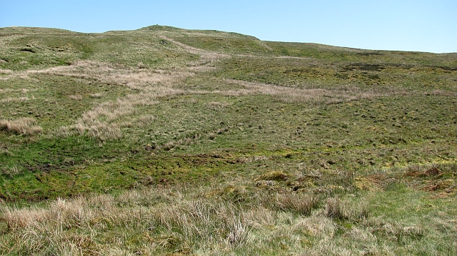
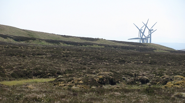
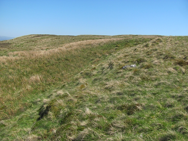
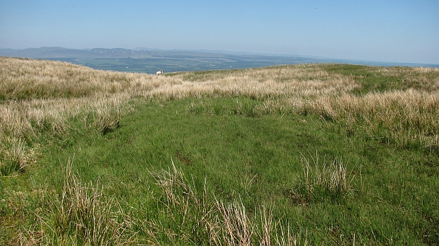
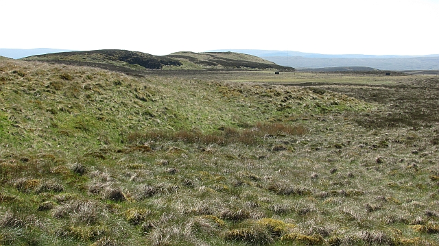
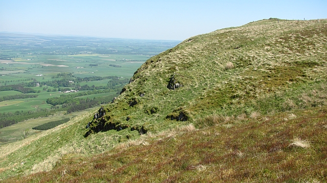
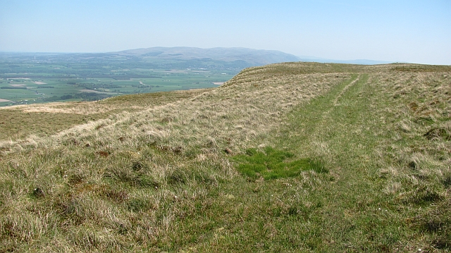
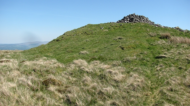
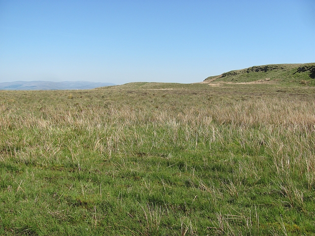
The Gargunnock Hills stretch across an area of about 20 square miles, encompassing several prominent peaks, including Earls Hill, Green Hill, and Gallow Hill. These hills vary in height, with Earls Hill being the highest point at around 300 meters above sea level. The terrain consists mainly of grassy slopes, heather moorland, and scattered woodlands, providing a picturesque setting for outdoor enthusiasts and nature lovers.
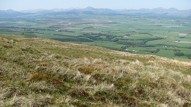
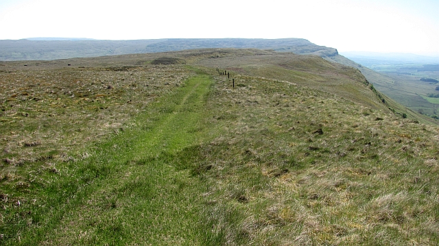
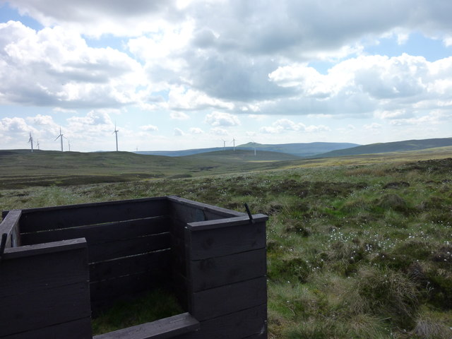
The Gargunnock Hills are renowned for their natural beauty and offer breathtaking panoramic views of the surrounding countryside. Hiking and walking trails are abundant, allowing visitors to explore the area's peaceful and tranquil atmosphere. The hills are also home to a variety of wildlife, including red deer, buzzards, and numerous species of birds, making it a popular spot for birdwatching and wildlife photography.
In addition to their natural appeal, the Gargunnock Hills have a rich historical heritage. The nearby village of Gargunnock, with its quaint cottages and charming atmosphere, dates back to the 17th century. The hills themselves have been inhabited for thousands of years, with evidence of ancient settlements and burial sites found in the area. This historical significance adds an extra layer of fascination to the Gargunnock Hills, making them an intriguing destination for those interested in both natural beauty and cultural heritage.
Overall, the Gargunnock Hills in Stirlingshire offer a captivating blend of stunning landscapes, diverse wildlife, and historical allure, making them a must-visit for anyone seeking a peaceful retreat or an exploration of Scotland's rich natural and cultural heritage.
If you have any feedback on the listing, please let us know in the comments section below.
Gargunnock Hills Images
Images are sourced within 2km of 56.089825/-4.121672 or Grid Reference NS6890. Thanks to Geograph Open Source API. All images are credited.


Gargunnock Hills is located at Grid Ref: NS6890 (Lat: 56.089825, Lng: -4.121672)
Unitary Authority: Stirling
Police Authority: Forth Valley
What 3 Words
///hardens.spouting.contrived. Near Kippen, Stirling
Nearby Locations
Related Wikis

Gargunnock Hills
The Gargunnock Hills are a range of hills west of the city of Stirling, Scotland. They culminate in the peak of Carleatheran, whose 485-metre (1,591 ft...

Leckie Broch
Leckie Broch is an iron-age broch located in Stirlingshire, Scotland. == Location == Just above the confluence of two streams with deep gulleys on the...

Fintry Hills
The Fintry Hills form the western end of a range of hills which stretch west from the city of Stirling, Scotland. They culminate in the 511-metre (1,677...
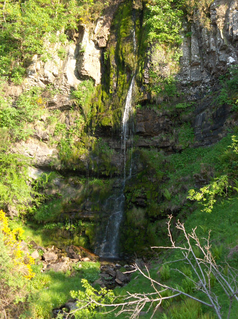
Downie's Loup
Downie's Loup is a waterfall of Scotland located near the village of Gargunnock. == See also == Waterfalls of Scotland == References ==
Have you been to Gargunnock Hills?
Leave your review of Gargunnock Hills below (or comments, questions and feedback).