Fintry Hills
Range Of Mountains, Range Of Hills in Stirlingshire
Scotland
Fintry Hills

The requested URL returned error: 429 Too Many Requests
If you have any feedback on the listing, please let us know in the comments section below.
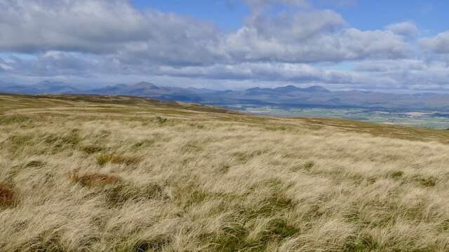
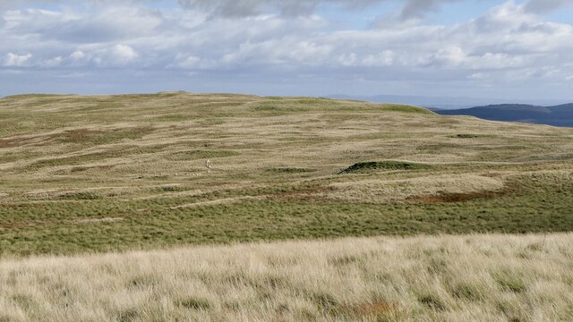
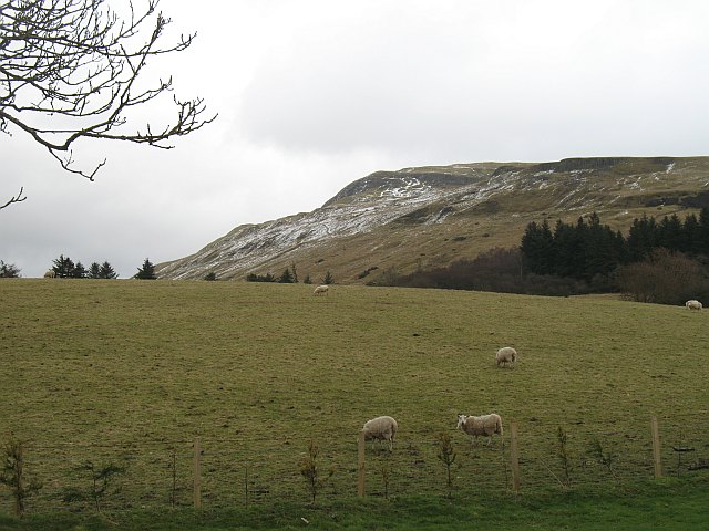
Fintry Hills Images
Images are sourced within 2km of 56.069077/-4.1792541 or Grid Reference NS6488. Thanks to Geograph Open Source API. All images are credited.


Fintry Hills is located at Grid Ref: NS6488 (Lat: 56.069077, Lng: -4.1792541)
Unitary Authority: Stirling
Police Authority: Forth Valley
What 3 Words
///metro.distilled.bearable. Near Kippen, Stirling
Nearby Locations
Related Wikis

Fintry Hills
The Fintry Hills form the western end of a range of hills which stretch west from the city of Stirling, Scotland. They culminate in the 511-metre (1,677...
Stronend
Stronend (511 m) is the highest peak of the Fintry Hills in Stirlingshire, Scotland. Standing above the village of Fintry, it provides excellent views...

Fintry Castle, Stirling
Fintry Castle, was a 15th-century castle near Fintry, Stirling, Scotland. The castle was built on the northern slopes of the valley of the Endrick Water...

Culcreuch Castle
Culcreuch Castle is a Scottish castle close to the village of Fintry, near Loch Lomond. It had been the home of the Barons of Culcreuch since 1699. In...
Nearby Amenities
Located within 500m of 56.069077,-4.1792541Have you been to Fintry Hills?
Leave your review of Fintry Hills below (or comments, questions and feedback).