Lincomb

Settlement in Worcestershire Wychavon

England

Lincomb

Road approaching Burf Cottages, The Burf
Road approaching Burf Cottages, The Burf Credit: Philip Halling

Lincomb is a small village located in the county of Worcestershire, England. Situated on the banks of the River Severn, it lies approximately 4 miles south of the town of Stourport-on-Severn and 6 miles north of the city of Worcester. The village is part of the Wychavon district.

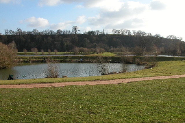
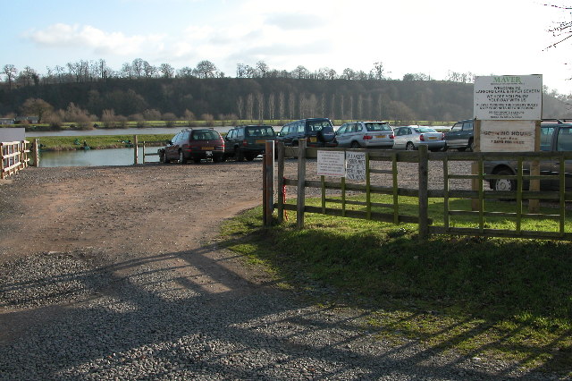
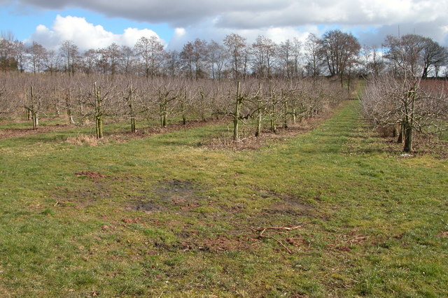
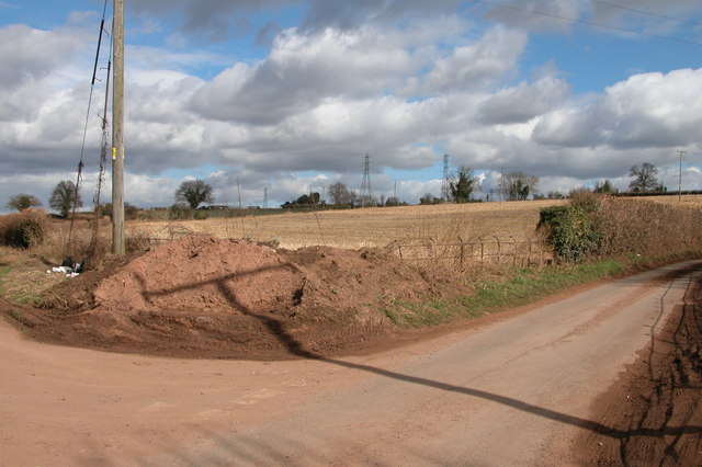
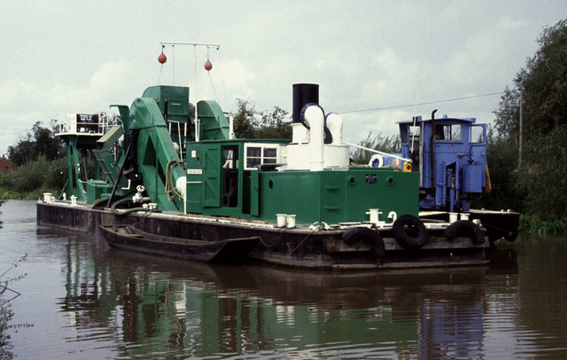
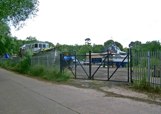
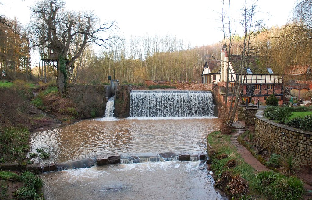
Known for its scenic beauty, Lincomb boasts a countryside setting with rolling hills, picturesque meadows, and tranquil waterways. The River Severn plays a vital role in the village's charm, providing opportunities for fishing, boating, and other watersports. The surrounding area features an abundance of wildlife and offers excellent opportunities for nature enthusiasts to explore the outdoors.

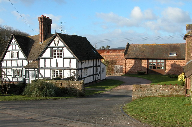
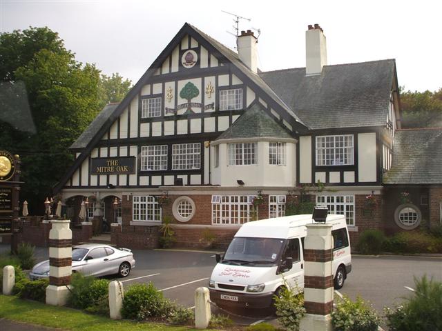
Lincomb is a close-knit community with a small population, primarily residing in traditional cottages and houses. There are limited amenities within the village itself, with a pub and a handful of local businesses catering to the needs of residents and visitors.

Despite its peaceful rural setting, Lincomb benefits from its proximity to larger towns and cities. Stourport-on-Severn is a short drive away and offers a wider range of amenities, including supermarkets, shops, schools, and healthcare facilities. The city of Worcester, with its rich history and vibrant cultural scene, provides further opportunities for commerce, employment, and leisure activities.

Overall, Lincomb is a charming village that offers a peaceful and idyllic lifestyle for its residents while benefiting from its strategic location near larger towns and cities.

If you have any feedback on the listing, please let us know in the comments section below.

Lincomb Images

Images are sourced within 2km of 52.316081/-2.26256 or Grid Reference SO8268. Thanks to Geograph Open Source API. All images are credited.

Road approaching Burf Cottages, The Burf
The Hampstall Inn, The Burf This is a popular inn overlooking the River Severn between Worcester and Stourport-on-Severn.
The Hampstall Inn, The Burf
This is a popular inn overlooking the River Severn between Worcester and Stourport-on-Severn.
The River Severn at The Burf This is the view of the River Severn from the front of The Hempstalls Inn.
The River Severn at The Burf
This is the view of the River Severn from the front of The Hempstalls Inn.
Fishing lake at Larford Farm This is the southern end of a large fishing lake at Larford Farm. Below the dark bank in the background is the River Severn
Fishing lake at Larford Farm
This is the southern end of a large fishing lake at Larford Farm. Below the dark bank in the background is the River Severn
Fishing lake at Larford Farm Popular fishing lake to the south of Stourport-on-Severn.
Fishing lake at Larford Farm
Popular fishing lake to the south of Stourport-on-Severn.
Longmore Hill Farm Like many farms this farm to the south of Stourport-on-Severn has been converted into residential accommodation.
Longmore Hill Farm
Like many farms this farm to the south of Stourport-on-Severn has been converted into residential accommodation.
Wyneyards, Lineholt
Wyneyards, Lineholt
Little Winnal Farm, Lineholt Former farm which has been converted to residential accommodation.
Little Winnal Farm, Lineholt
Former farm which has been converted to residential accommodation.
Chicken shed near Lincomb
Ombersley Golf Club
Ombersley Golf Club
Bishops Wood, Crossway Green Power cables at Bishop's Wood.
Bishops Wood, Crossway Green
Power cables at Bishop's Wood.
The Mitre Oak, Crossway Green The pub is on the A449 on the round-about and turning for Stourport-on-Severn.
The Mitre Oak, Crossway Green
The pub is on the A449 on the round-about and turning for Stourport-on-Severn.
Orchard on Lincomb Lane, Lincomb
Parsons Lane and Crown Lane crossroads, near Crossway Green
The Mitre Oak, Crossway Green Looking west.
The Mitre Oak, Crossway Green
Looking west.
Steam ladder dredger John Bradley, Lincomb Lock, Stourport Now sadly retired and without her plant. She was in full cry when this photo was taken and we were just waiting for a boat ride across to her.
Steam ladder dredger John Bradley, Lincomb Lock, Stourport
Now sadly retired and without her plant. She was in full cry when this photo was taken and we were just waiting for a boat ride across to her.
Riverboats at Astley Burf
Entrance to Stourport Marina, Nelson Road, Stourport-on-Severn This is one of the entrances to the large Stourport Marina. The Marina is adjacent to and connected to the River Severn.
Entrance to Stourport Marina, Nelson Road, Stourport-on-Severn
This is one of the entrances to the large Stourport Marina. The Marina is adjacent to and connected to the River Severn.
Show me another place!

Lincomb is located at Grid Ref: SO8268 (Lat: 52.316081, Lng: -2.26256)

Administrative County: Worcestershire

District: Wychavon

Police Authority: West Mercia

What 3 Words

///risk.shielding.laying. Near Hartlebury, Worcestershire

Nearby Locations

Lincomb

Related Wikis

Astley Burf

Astley Burf is a hamlet in the parish of Astley, Worcestershire, England, on the banks of the River Severn. Within the hamlet there is one riverside public...

Crossway Green

Crossway Green is a village in Worcestershire, England.

Stourport power stations

Stourport power stations were two electricity generating stations that supplied electricity to Stourport-on-Severn, Worcestershire and to the wider West...

Dick Brook

Dick Brook is small tributary stream of the River Severn that flows through Worcestershire, England.The brook is formed from two small unnamed streams...

Astley Cross

Astley Cross is a village in Worcestershire, England, located on the outskirts of Stourport-on-Severn. The village lies 1 mile (1.6 km) south of the centre...

Hartlebury Common

Hartlebury Common is an area of lowland heath in north Worcestershire, England, situated just outside the town of Stourport-on-Severn. Hartlebury Common...

River Stour, Worcestershire

The Stour (, rhymes with "flour") is a river flowing through the counties of Worcestershire, the West Midlands and Staffordshire in the West Midlands region...

Astley Hall, Stourport-on-Severn

Astley Hall is a country house in Astley near Stourport-on-Severn, Worcestershire, England. The hall was the home of Prime Minister Stanley Baldwin from...

Nearby Amenities

Located within 500m of 52.316081,-2.26256
Lincomb
Place: hamlet
Lat/Long: 52.3161593/-2.2620262
Power: pole
Lat/Long: 52.3155773/-2.2679554
Power: pole
Lat/Long: 52.3172971/-2.2625509
Power: pole
Lat/Long: 52.3165529/-2.2638234
Power: pole
Lat/Long: 52.3159207/-2.2665888
Power: pole
Lat/Long: 52.3151689/-2.2690256
Power: pole
Lat/Long: 52.3178461/-2.256494
Power: pole
Lat/Long: 52.317528/-2.2598468
Lincomb
Power: pole
Transformer: distribution
Voltage Primary: 11000
Lat/Long: 52.3163111/-2.2623052
Power: pole
Lat/Long: 52.3167497/-2.2622381
Power: pole
Lat/Long: 52.3172833/-2.2621523
Power: pole
Lat/Long: 52.3178679/-2.2618318
Power: pole
Lat/Long: 52.3134818/-2.2674751
Power: pole
Lat/Long: 52.314464/-2.2672485
Power: pole
Lat/Long: 52.3154224/-2.2670004
Power: pole
Lat/Long: 52.3159766/-2.266826
Power: pole
Lat/Long: 52.3162906/-2.2662507
Power: pole
Lat/Long: 52.3166259/-2.2656727
Power: pole
Lat/Long: 52.3171177/-2.2648251
Power: pole
Lat/Long: 52.317558/-2.2640862
Power: pole
Lat/Long: 52.3179482/-2.2629476
Power: pole
Lat/Long: 52.3182933/-2.2619659
Power: pole
Lat/Long: 52.3184466/-2.2615139
Power: pole
Lat/Long: 52.3190541/-2.2611947
Power: pole
Lat/Long: 52.3197222/-2.2607991
Power: pole
Lat/Long: 52.3204739/-2.2612437
Power: pole
Lat/Long: 52.3203108/-2.2603109
The data included in this document is from www.openstreetmap.org. The data is made available under ODbL.

Have you been to Lincomb?

Leave your review of Lincomb below (or comments, questions and feedback).