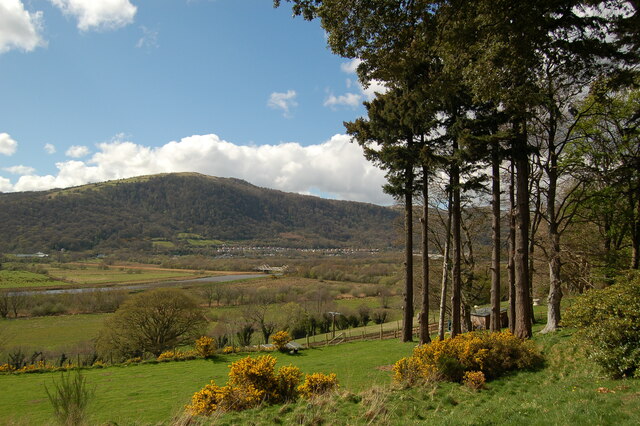
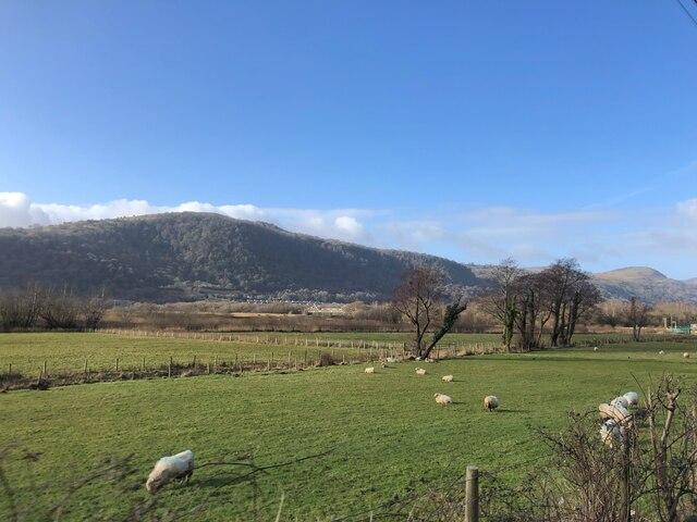
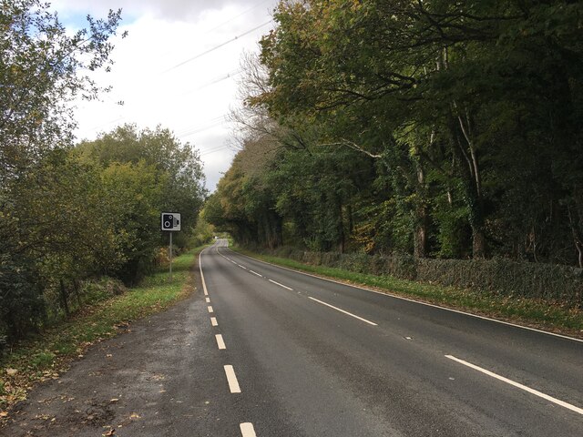
Vale of Conwy
Valley in Caernarfonshire
Wales
Vale of Conwy
The requested URL returned error: 429 Too Many Requests
If you have any feedback on the listing, please let us know in the comments section below.
Vale of Conwy Images
Images are sourced within 2km of 53.192589/-3.8229758 or Grid Reference SH7867. Thanks to Geograph Open Source API. All images are credited.


Vale of Conwy is located at Grid Ref: SH7867 (Lat: 53.192589, Lng: -3.8229758)
Unitary Authority: Conwy
Police Authority: North Wales
Also known as: Dyffryn Conwy
What 3 Words
///optimists.solder.smothered. Near Llanrwst, Conwy
Nearby Locations
Related Wikis

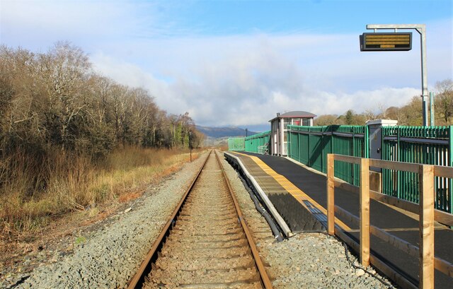
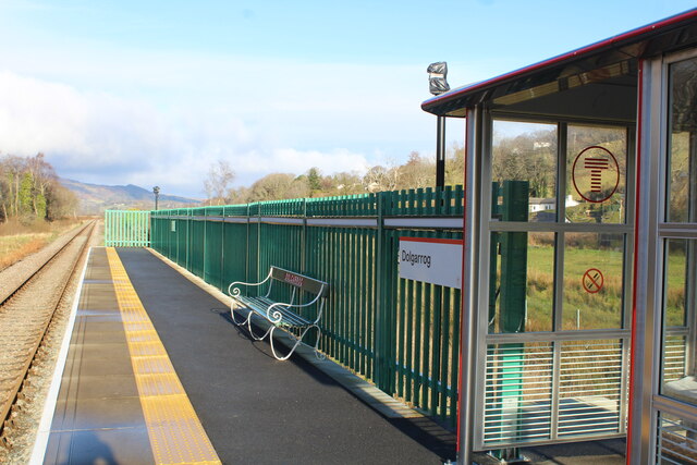
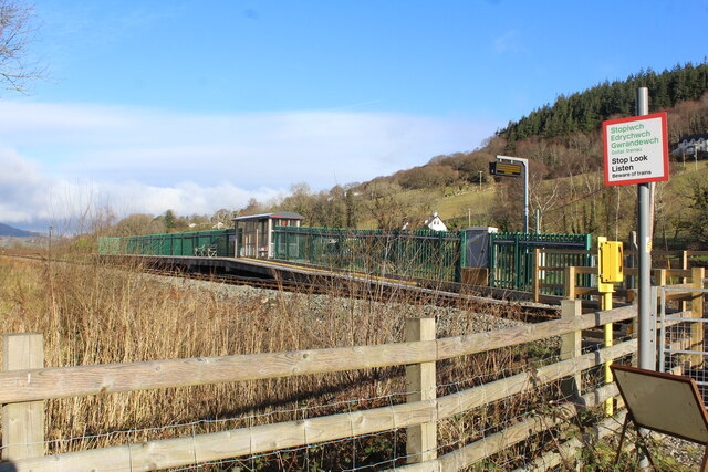
Dolgarrog railway station
Dolgarrog railway station is an unstaffed halt, and a request stop, on the Conwy Valley Line from Llandudno Junction to Blaenau Ffestiniog. The station...

Cadair Ifan Goch
Cadair Ifan Goch (Chair of Ifan Goch, the Giant) is a crag located above the Conwy Valley in North Wales in the community of Llanddoged and Maenan, and...

Adventure Parc Snowdonia
Adventure Parc Snowdonia, formerly Surf Snowdonia was an adventure park and tourist attraction, incorporating an artificial wave pool, at Dolgarrog in...

Dolgarrog power station
Dolgarrog Power Station in Dolgarrog, Wales was originally built in 1907 as part of an aluminium smelting plant. It uses water turbines to drive electricity...
Nearby Amenities
Located within 500m of 53.192589,-3.8229758Have you been to Vale of Conwy?
Leave your review of Vale of Conwy below (or comments, questions and feedback).