Limpsfield
Settlement in Surrey Tandridge
England
Limpsfield
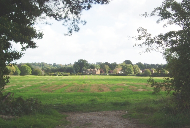
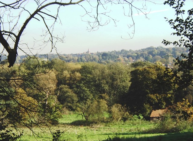
Limpsfield is a charming village located in the Tandridge district of Surrey, England. Situated on the northern slopes of the North Downs, it is surrounded by picturesque countryside and offers a tranquil and idyllic setting. The village is divided into two sections: Limpsfield Chart and Limpsfield Village.
Limpsfield Chart is the larger of the two sections and is characterized by its open fields and woodlands. It is home to a number of historic buildings, including the beautiful St. Andrew's Church, which dates back to the 13th century. The area is also known for its large Victorian and Edwardian houses, many of which are situated on expansive plots of land.
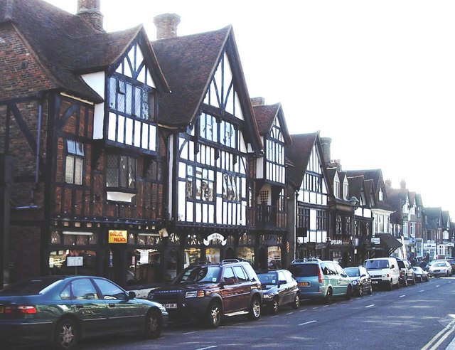
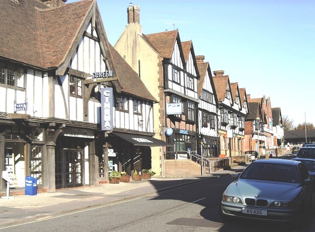
Limpsfield Village, on the other hand, has a more quaint and traditional feel. It features a charming high street lined with a variety of independent shops, boutiques, and local businesses. The village also boasts a number of welcoming pubs and restaurants, offering a range of culinary options.
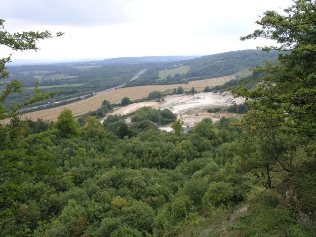
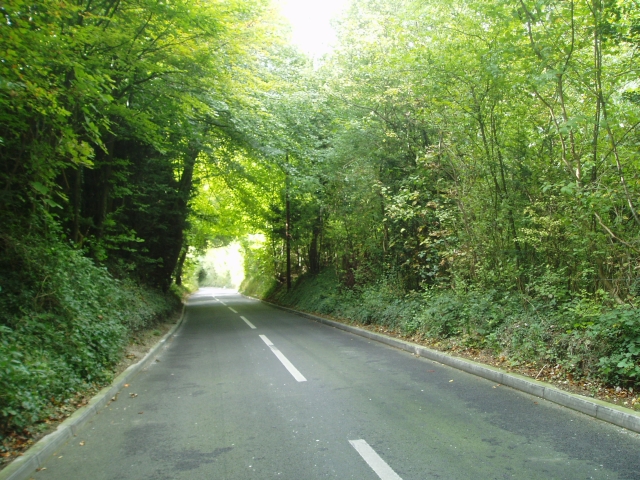
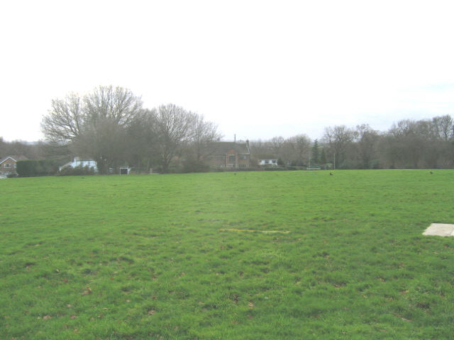
The natural beauty of Limpsfield is a major draw for visitors and residents alike. The village is surrounded by stunning countryside, making it a popular destination for outdoor activities such as walking, hiking, and cycling. Limpsfield Common, a designated Area of Outstanding Natural Beauty, is a notable attraction where visitors can enjoy its heathland and ancient woodland.
Overall, Limpsfield offers a peaceful and picturesque retreat for those seeking a rural escape. With its rich history, beautiful landscapes, and charming village atmosphere, it is no wonder that this Surrey gem is highly regarded by locals and visitors alike.
If you have any feedback on the listing, please let us know in the comments section below.
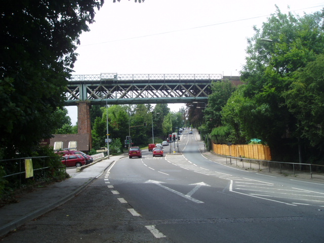
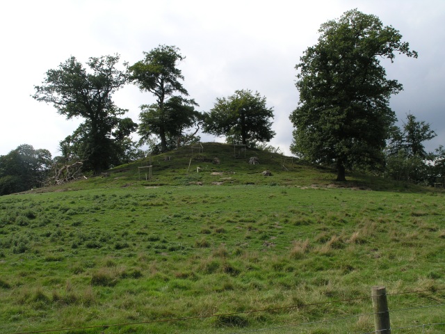
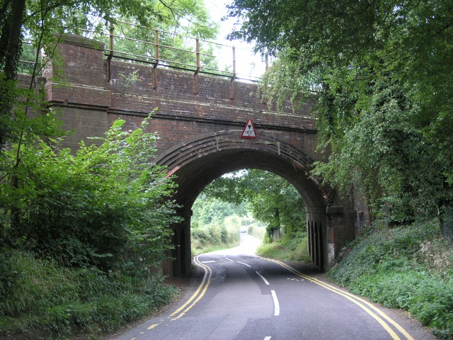
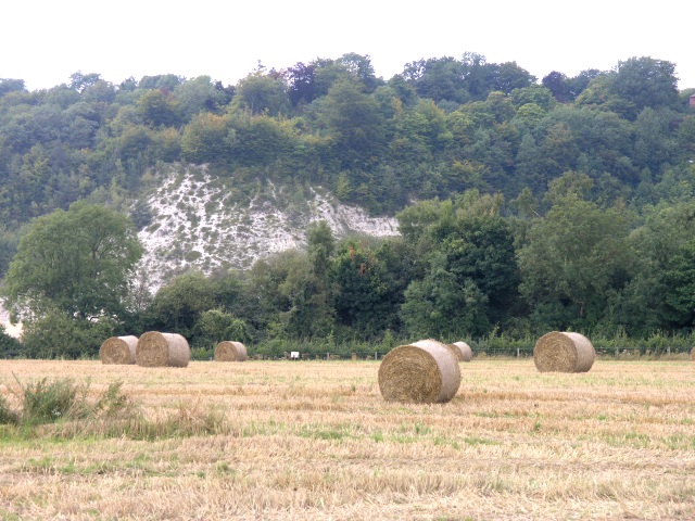
Limpsfield Images
Images are sourced within 2km of 51.259666/-0.000162 or Grid Reference TQ3953. Thanks to Geograph Open Source API. All images are credited.


Limpsfield is located at Grid Ref: TQ3953 (Lat: 51.259666, Lng: -0.000162)
Administrative County: Surrey
District: Tandridge
Police Authority: Surrey
What 3 Words
///horses.verbs.narrow. Near Oxted, Surrey
Nearby Locations
Related Wikis

Oxted School
Oxted School is a coeducational secondary school and sixth form located in the English town of Oxted, Surrey. It was opened in 1929 as the first mixed...

Tandridge District
Tandridge is a local government district in east Surrey, England. Its council is based in Oxted, although the largest settlement is Caterham; other notable...
Godstone Rural District
Godstone Rural District was a rural district in Surrey, England from 1894 to 1974, covering an area in the south-east of the county. == Origins == The...

All Saints Church, Oxted
All Saints Church is a Roman Catholic Parish church in Oxted, Surrey. Building work on the church started in 1913 and was delayed by World War I. Aspects...
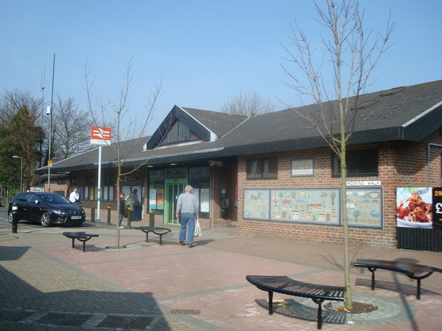
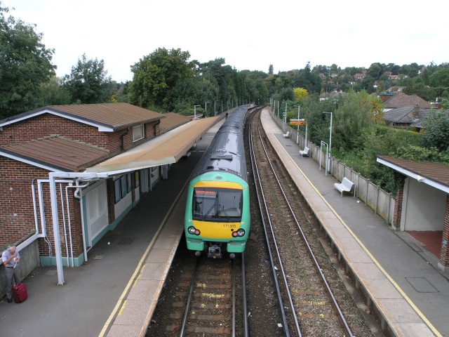
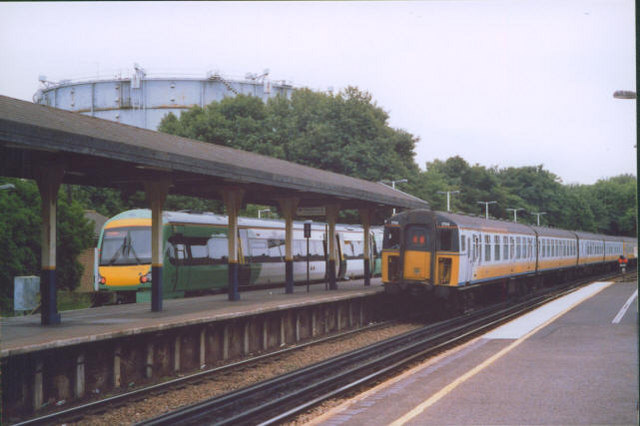
Oxted railway station
Oxted railway station is on the Oxted line in southern England, serving the commuter town of Oxted, Surrey. It is 20 miles 25 chains (20.31 miles, 32.69...
Oxted
Oxted is a town and civil parish in the Tandridge district of Surrey, England, at the foot of the North Downs. It is 9 miles (14 km) south south-east of...

Limpsfield
Limpsfield is a village and civil parish in Surrey, England, at the foot of the North Downs close to Oxted railway station and the A25. The composer Frederick...

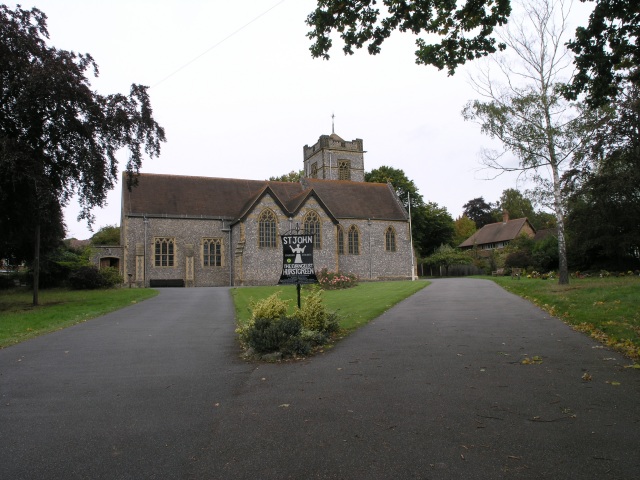
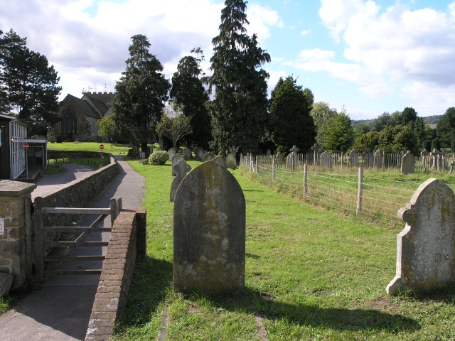
Church of St Peter, Limpsfield
The Anglican Church of St Peter in Limpsfield, Surrey, England dates from the 12th century. It is a Grade I listed building. It is known for the number...
Nearby Amenities
Located within 500m of 51.259666,-0.000162Have you been to Limpsfield?
Leave your review of Limpsfield below (or comments, questions and feedback).