Billockby Bottom
Valley in Norfolk Great Yarmouth
England
Billockby Bottom
Billockby Bottom is a small village located in the county of Norfolk, England. Situated in the picturesque Norfolk Valley, the village is known for its charming rural setting and natural beauty. It is nestled among rolling hills and surrounded by lush green fields, creating a tranquil and idyllic atmosphere.
The village itself is home to a close-knit community, with a population of approximately 200 residents. The architecture of Billockby Bottom reflects its rich history, with a mix of traditional brick and thatched cottages that add to its quintessential English charm.
Despite its small size, the village offers a range of amenities for its residents and visitors. There is a local pub, The Valley Inn, which serves as a popular meeting place and social hub. Additionally, there is a village hall that hosts various community events, such as fairs and fundraisers.
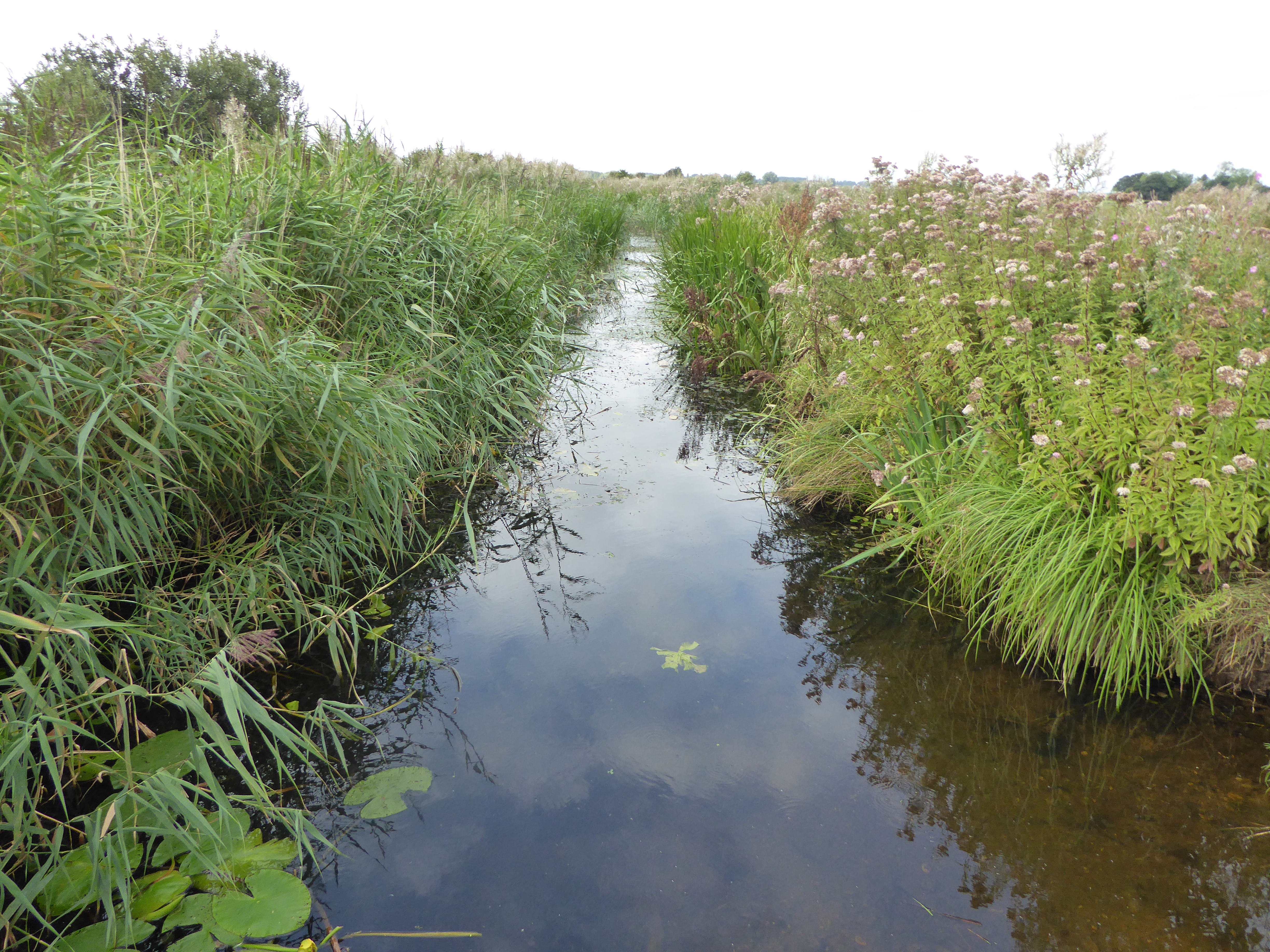
Nature enthusiasts will find plenty to explore in and around Billockby Bottom. The Norfolk Valley is known for its scenic walking trails, offering breathtaking views of the surrounding countryside. The nearby River Yare is a popular spot for fishing and boating, attracting both locals and tourists alike.
Billockby Bottom is conveniently located near the city of Norwich, which is just a short drive away. This provides residents with easy access to a wider range of amenities, including shopping centers, restaurants, and cultural attractions.
Overall, Billockby Bottom offers a peaceful and picturesque lifestyle, making it an ideal place for those seeking a rural retreat in the heart of Norfolk.
If you have any feedback on the listing, please let us know in the comments section below.
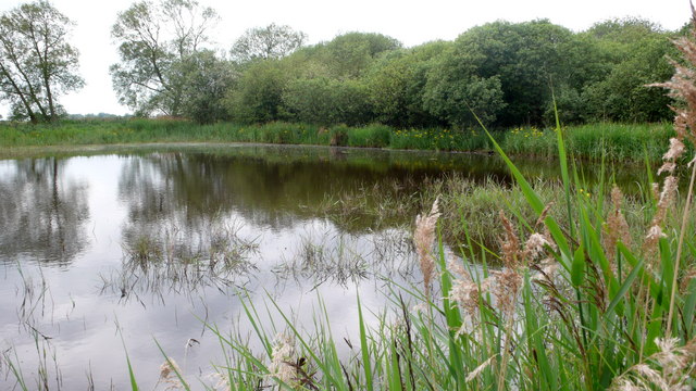
Billockby Bottom Images
Images are sourced within 2km of 52.666841/1.6035963 or Grid Reference TG4313. Thanks to Geograph Open Source API. All images are credited.


Billockby Bottom is located at Grid Ref: TG4313 (Lat: 52.666841, Lng: 1.6035963)
Administrative County: Norfolk
District: Great Yarmouth
Police Authority: Norfolk
What 3 Words
///plankton.booms.grew. Near Martham, Norfolk
Nearby Locations
Related Wikis

Fleggburgh
Burgh St Margaret, also known as Fleggburgh, is a village and civil parish in the English county of Norfolk. The village is located 6 miles (9.7 km) north...

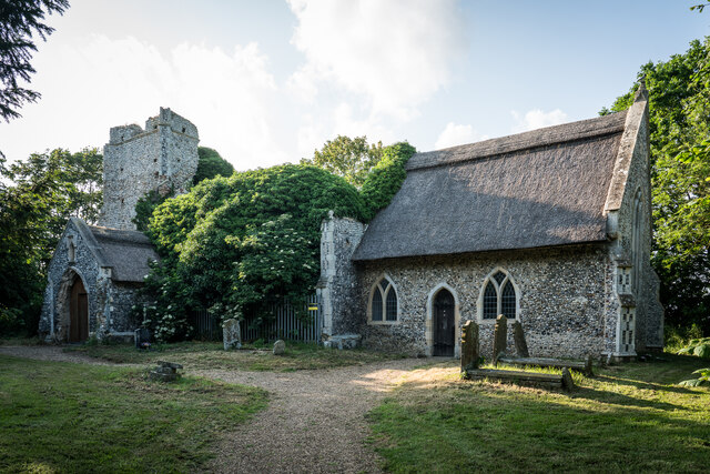
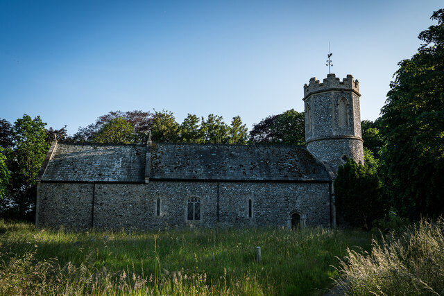
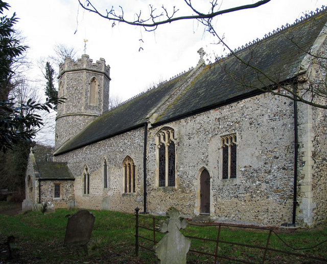
All Saints' Church, Billockby
All Saints' Church is an Anglican church, partly ruined, near the villages of Billockby and Fleggburgh, Norfolk, England. It is a Grade II listed building...
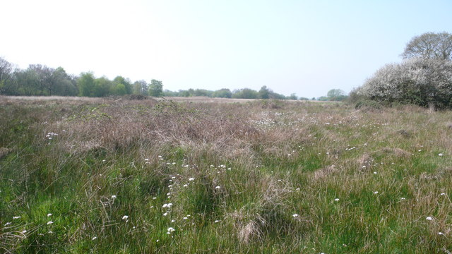
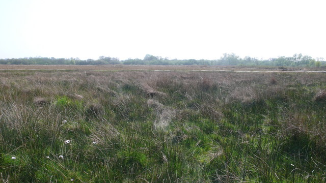
Burgh Common and Muckfleet Marshes
Burgh Common and Muckfleet Marshes is a 121.5-hectare (300-acre) biological Site of Special Scientific Interest south of Fleggburgh in Norfolk. It is...
Clippesby
Clippesby is a village and former civil parish, now in the parish of in Fleggburgh, in the Great Yarmouth district, in the county of Norfolk, England....
Nearby Amenities
Located within 500m of 52.666841,1.6035963Have you been to Billockby Bottom?
Leave your review of Billockby Bottom below (or comments, questions and feedback).