Stockbury Valley

Valley in Kent Maidstone

England

Stockbury Valley

Unmapped steps These steps down from Wormdale Hill road towards Danaway are not shown on either the 1:25000 or 1:50000 Ordnance Survey (nor Google) maps. From their nature it is suspected that they were installed as part of the expansion of the A249.
Unmapped steps Credit: Tony Hunt

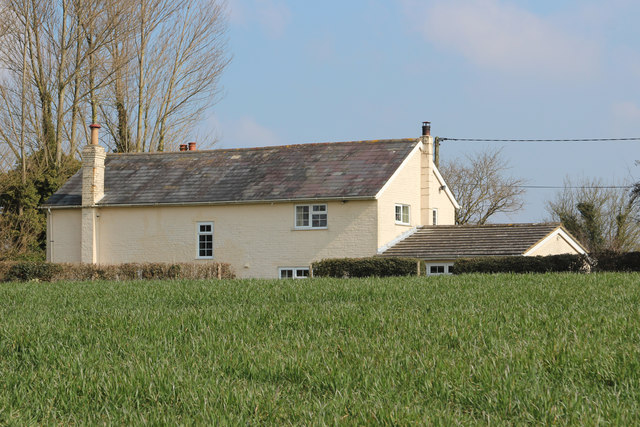
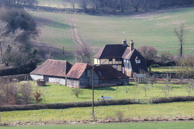
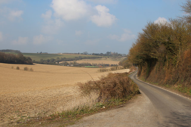
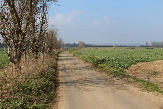
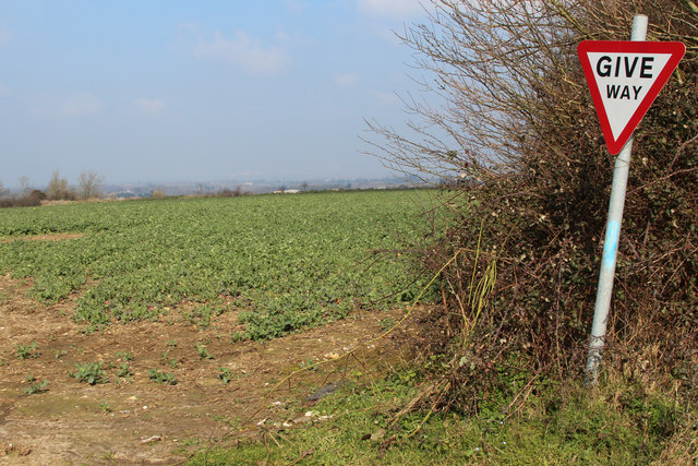
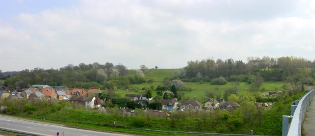
Stockbury Valley is a picturesque rural area located in the county of Kent, England. Situated in the southeast of the country, Stockbury Valley is surrounded by rolling hills, lush green fields, and charming countryside landscapes. It is a small valley that stretches for approximately 2 miles, encompassing the village of Stockbury and its immediate surroundings.

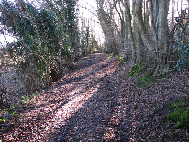
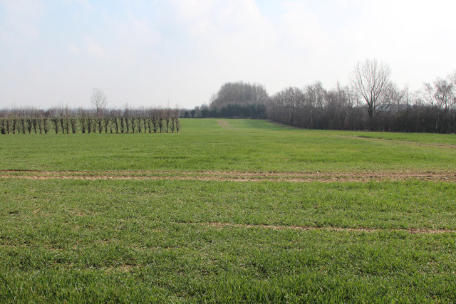
The valley is known for its natural beauty and tranquility, offering a peaceful escape from the hustle and bustle of city life. The landscape is predominantly agricultural, with farms and orchards dotting the area. The valley benefits from a mild climate, making it a favorable location for farming activities.

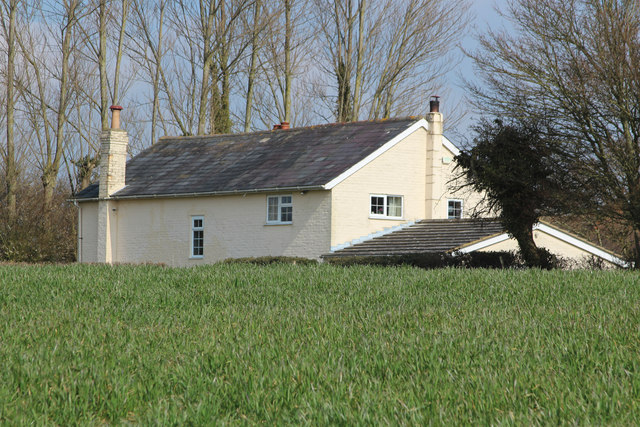
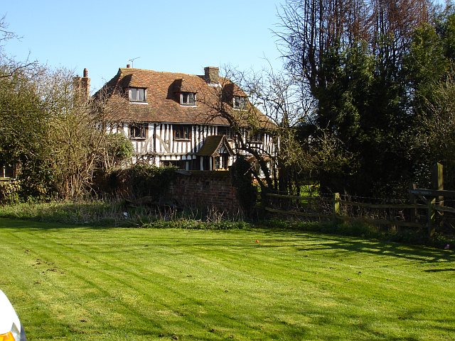
The village of Stockbury, which lies at the heart of the valley, is a close-knit community with a population of around 400 residents. It exudes a traditional English charm, with its historic buildings, thatched cottages, and a charming church. The village is surrounded by stunning countryside views, making it an ideal location for nature lovers and outdoor enthusiasts.

The valley is also home to Stockbury Castle, an ancient hillfort that dates back to the Iron Age. The castle is steeped in history and offers visitors a glimpse into the area's rich heritage.

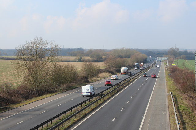
Stockbury Valley is well-connected to neighboring towns and cities, with easy access to the M2 motorway and nearby railway stations. It is a popular destination for visitors seeking a peaceful retreat, as well as a desirable place to reside for those who appreciate the rural lifestyle and natural beauty of Kent.

If you have any feedback on the listing, please let us know in the comments section below.

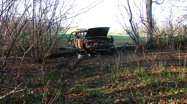
Stockbury Valley Images

Images are sourced within 2km of 51.321721/0.65179208 or Grid Reference TQ8461. Thanks to Geograph Open Source API. All images are credited.

Unmapped steps These steps down from Wormdale Hill road towards Danaway are not shown on either the 1:25000 or 1:50000 Ordnance Survey (nor Google) maps. From their nature it is suspected that they were installed as part of the expansion of the A249.
Unmapped steps
These steps down from Wormdale Hill road towards Danaway are not shown on either the 1:25000 or 1:50000 Ordnance Survey (nor Google) maps. From their nature it is suspected that they were installed as part of the expansion of the A249.
Footpath into Church Wood Effectively blocked against vehicle entry by a burned out wreck atop a log (which likely stopped its progress).
Footpath into Church Wood
Effectively blocked against vehicle entry by a burned out wreck atop a log (which likely stopped its progress).
Southern Entrance to Church Wood The footpath is very overgrown, and without compass or GPS impossible to follow when exiting the wood from the north.
Southern Entrance to Church Wood
The footpath is very overgrown, and without compass or GPS impossible to follow when exiting the wood from the north.
Unmapped Pillbox by Stockbury Roundabout Pillbox not shown on Ordnance Survey maps.
Unmapped Pillbox by Stockbury Roundabout
Pillbox not shown on Ordnance Survey maps.
Amels Hill Track Apparently ancient track leading down from Stockbury.
Amels Hill Track
Apparently ancient track leading down from Stockbury.
Hayes Lane Hayes Lane walking south
Hayes Lane
Hayes Lane walking south
Woodgate Oast, Woodgate Lane, Oad Street Two round kiln oast house. Partially converted to accommodation in early 2000s. Has permission to convert to a ten bedroom hotel.
Woodgate Oast, Woodgate Lane, Oad Street
Two round kiln oast house. Partially converted to accommodation in early 2000s. Has permission to convert to a ten bedroom hotel.
Footpath gate near M2
Field beside M2 M2 is hidden on the right.
Field beside M2
M2 is hidden on the right.
Large barn at Vinson Farm
Deans Bottom Farm
Deans Bottom Farm
Fields by South Green
Cowstead Road
Cowstead Road
Give Way sign at Cowstead Road & Bull Lane junction
M2 near Hartlip Looking from Bull Lane over-bridge.
M2 near Hartlip
Looking from Bull Lane over-bridge.
Cradles Road, Stockbury
Show me another place!

Stockbury Valley is located at Grid Ref: TQ8461 (Lat: 51.321721, Lng: 0.65179208)

Administrative County: Kent

District: Maidstone

Police Authority: Kent

What 3 Words

///estimates.unzips.zest. Near Newington, Kent

Nearby Locations

Stockbury Stockbury Valley

Related Wikis

St Mary Magdalene Church, Stockbury

St Mary Magdalene is a parish church in Stockbury, Kent built in the late 12th century with additions in the 13th and 15th centuries and restoration in...

Stockbury

Stockbury is a village and civil parish in the Maidstone district of Kent, England. The population of the civil parish at the Census 2011 was 691.In 1800...

Stockbury Hill Wood

Stockbury Hill Wood is a 5-hectare (12-acre) nature reserve near Stockbury, north-east of Maidstone in Kent. It is managed by the Kent Wildlife Trust...

Danaway

Danaway is a village near the A249 road and the M2 motorway, in the Swale district, in the English county of Kent. The nearest town is Sittingbourne. It...

Oad Street

Oad Street is a small hamlet in the English county of Kent.Oad Street forms part of the civil parish of Borden which, in turn, is part of Swale district...

Stiff Street

Stiff Street is a hamlet almost on the M2 motorway, near the village of Bredgar, in the Swale District, in the English county of Kent. The nearest town...

Queendown Warren

Queendown Warren is a 22.2-hectare (55-acre) biological Site of Special Scientific Interest south-east of Rainham in Kent. It is a Local Nature Reserve...

Yelsted

Yelsted is a hamlet in the Borough of Maidstone, in the county of Kent, England. In 1800, Edward Hasted noted that it was spelt Gillested. It was a manor...

Nearby Amenities

Located within 500m of 51.321721,0.65179208
Noexit: yes
Lat/Long: 51.3242485/0.6539041
Bus Stop
Stockbury Valley
Bench: no
Bin: no
Flag: yes
Naptan AtcoCode: 2400A011780A
Naptan Bearing: NE
Naptan CommonName: Stockbury Valley
Naptan Indicator: NE-bound
Naptan Landmark: South Grn Ln
Naptan NaptanCode: kntamtgd
Naptan Street: A249
Naptan Verified: no
Shelter: no
Source: naptan_import
Tactile Paving: no
Lat/Long: 51.3217366/0.651086
Bus Stop
Roundabout
Naptan AtcoCode: 2400A011790A
Naptan Bearing: NE
Naptan CommonName: Roundabout
Naptan Indicator: NE-bound
Naptan Landmark: Honeycrock Hill
Naptan NaptanCode: kntamtgj
Naptan Street: Stockbury Valley
Naptan Verified: no
Source: naptan_import
Lat/Long: 51.3248791/0.6568801
Bus Stop
Stockbury Valley
Bench: no
Bin: no
Flag: yes
Lit: no
Naptan AtcoCode: 2400A011810A
Naptan Bearing: SW
Naptan CommonName: Stockbury Valley
Naptan Indicator: SW-bound
Naptan Landmark: South Grn Ln
Naptan NaptanCode: kntamtgp
Naptan Street: A249
Naptan Verified: no
Shelter: no
Source: naptan_import
Tactile Paving: no
Lat/Long: 51.3204332/0.6498626
Give Way
Lat/Long: 51.3196876/0.647589
Generator Method: photovoltaic
Generator Output Electricity: yes
Generator Source: solar
Generator Type: solar_photovoltaic_panel
Location: roof
Power: generator
Lat/Long: 51.3207763/0.6513543
Post Box
Brand: Royal Mail
Brand Wikidata: Q638098
Brand Wikipedia: en:Royal Mail
Collection Times: Mo-Fr 16:00; Sa 09:45; Su off
Operator: Royal Mail
Operator Wikidata: Q638098
Post Box Mounting: brick_pillar
Post Box Type: wall
Ref: ME9 21
Source: streetlevel imagery;aerial imagery
Source 1: survey
Lat/Long: 51.3243319/0.6563212
Motorway Junction
Stockbury
Lat/Long: 51.3244214/0.6551984
Give Way
Direction: forward
Lat/Long: 51.3243006/0.6499007
Noexit: yes
Lat/Long: 51.3218354/0.6506128
Parking
Fee: no
Note: There is a single yellow line which applies at certain times of the day.
Parking: layby
Source: survey
Survey Date: 2023-08-18
Lat/Long: 51.3244147/0.6567137
Give Way
Lat/Long: 51.3196054/0.6477823
Give Way
Lat/Long: 51.3197775/0.6479274
Give Way
Lat/Long: 51.319791/0.6478061
Give Way
Lat/Long: 51.3197065/0.6483356
The data included in this document is from www.openstreetmap.org. The data is made available under ODbL.

Have you been to Stockbury Valley?

Leave your review of Stockbury Valley below (or comments, questions and feedback).