Fishponds Gill
Valley in Sussex Hastings
England
Fishponds Gill
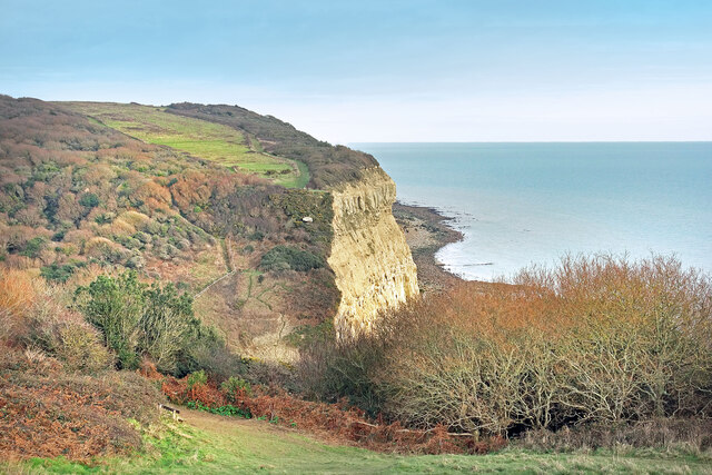
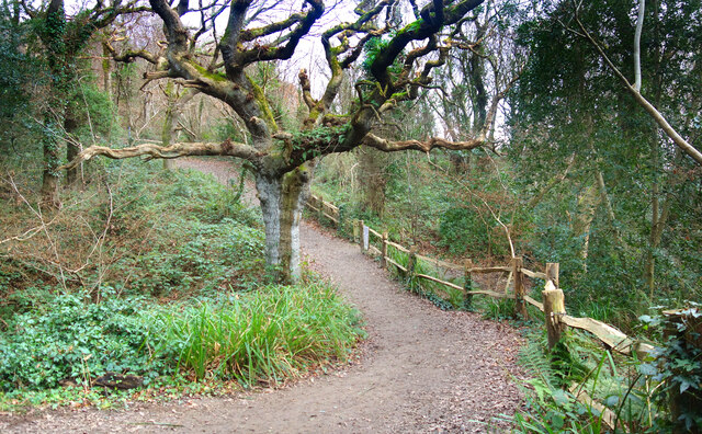
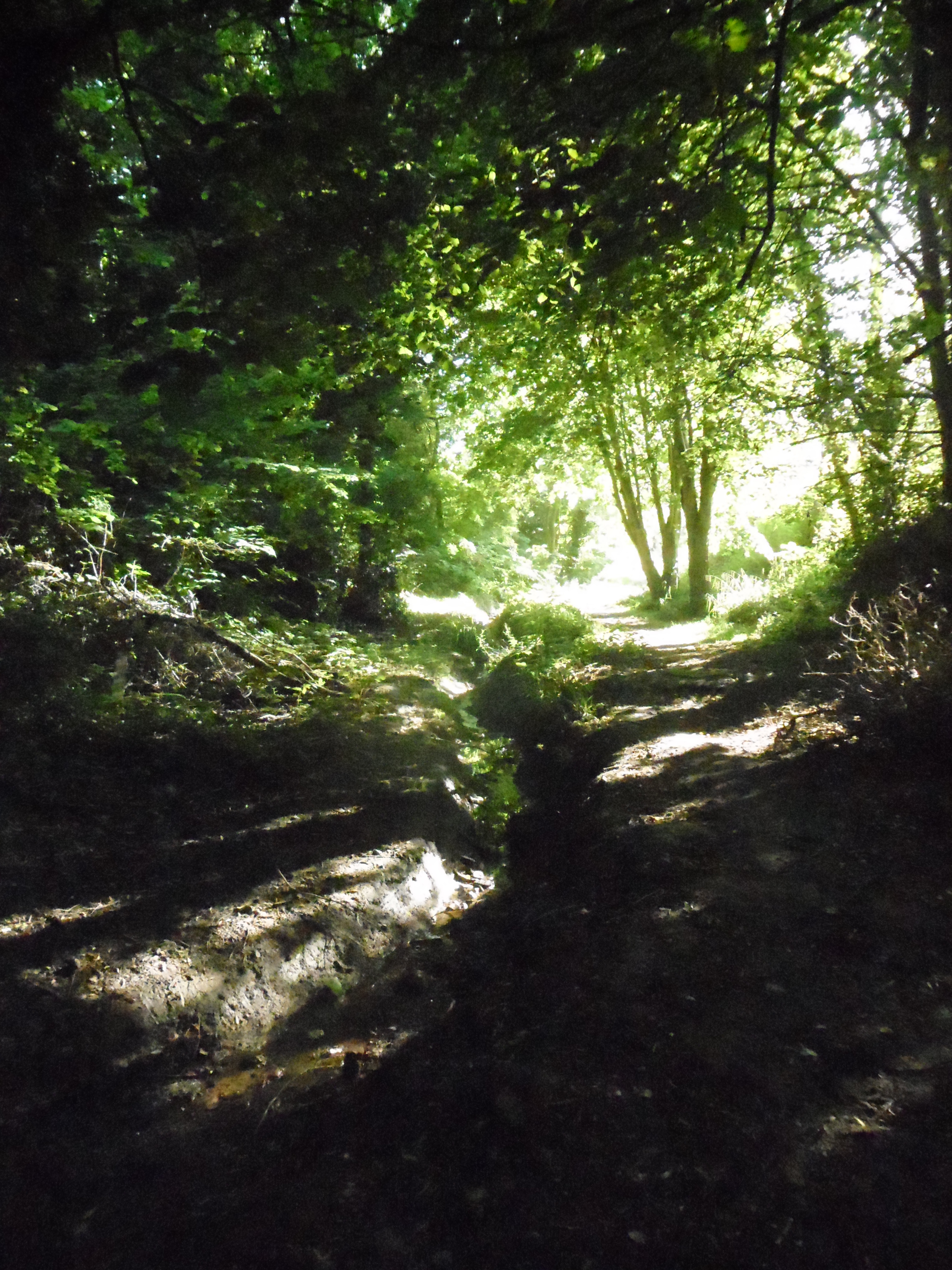
Fishponds Gill is a picturesque valley located in Sussex, England. It is nestled within the South Downs National Park, known for its stunning landscapes and diverse wildlife. The gill is situated near the village of Alfriston, offering visitors a tranquil and scenic escape from the hustle and bustle of city life.
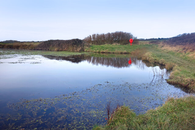
The name Fishponds Gill derives from the presence of small ponds and streams that meander through the valley, providing a habitat for various fish species. The gill is characterized by its steep-sided slopes covered in lush vegetation, including ancient woodland and wildflowers. The dense vegetation acts as a natural shelter for a wide range of wildlife, such as birds, butterflies, and small mammals.
Hiking enthusiasts and nature lovers flock to Fishponds Gill to explore the network of walking trails that wind through the valley. These trails offer breathtaking views of the surrounding countryside and provide opportunities for birdwatching and photography. The gill is also a popular spot for picnicking, with many visitors choosing to relax by the tranquil ponds and soak in the natural beauty of the area.
In addition to its natural charm, Fishponds Gill holds historical significance. It is believed that the valley was once used as a hunting ground by the Normans, and remnants of ancient earthworks can still be seen today. The gill is also home to a few well-preserved medieval buildings, adding to its cultural appeal.
Overall, Fishponds Gill is a hidden gem in Sussex, offering visitors a chance to connect with nature and immerse themselves in the region's rich history.
If you have any feedback on the listing, please let us know in the comments section below.
Fishponds Gill Images
Images are sourced within 2km of 50.869266/0.62140352 or Grid Reference TQ8411. Thanks to Geograph Open Source API. All images are credited.


Fishponds Gill is located at Grid Ref: TQ8411 (Lat: 50.869266, Lng: 0.62140352)
Administrative County: East Sussex
District: Hastings
Police Authority: Sussex
What 3 Words
///retain.acute.sulk. Near Fairlight, East Sussex
Nearby Locations
Related Wikis
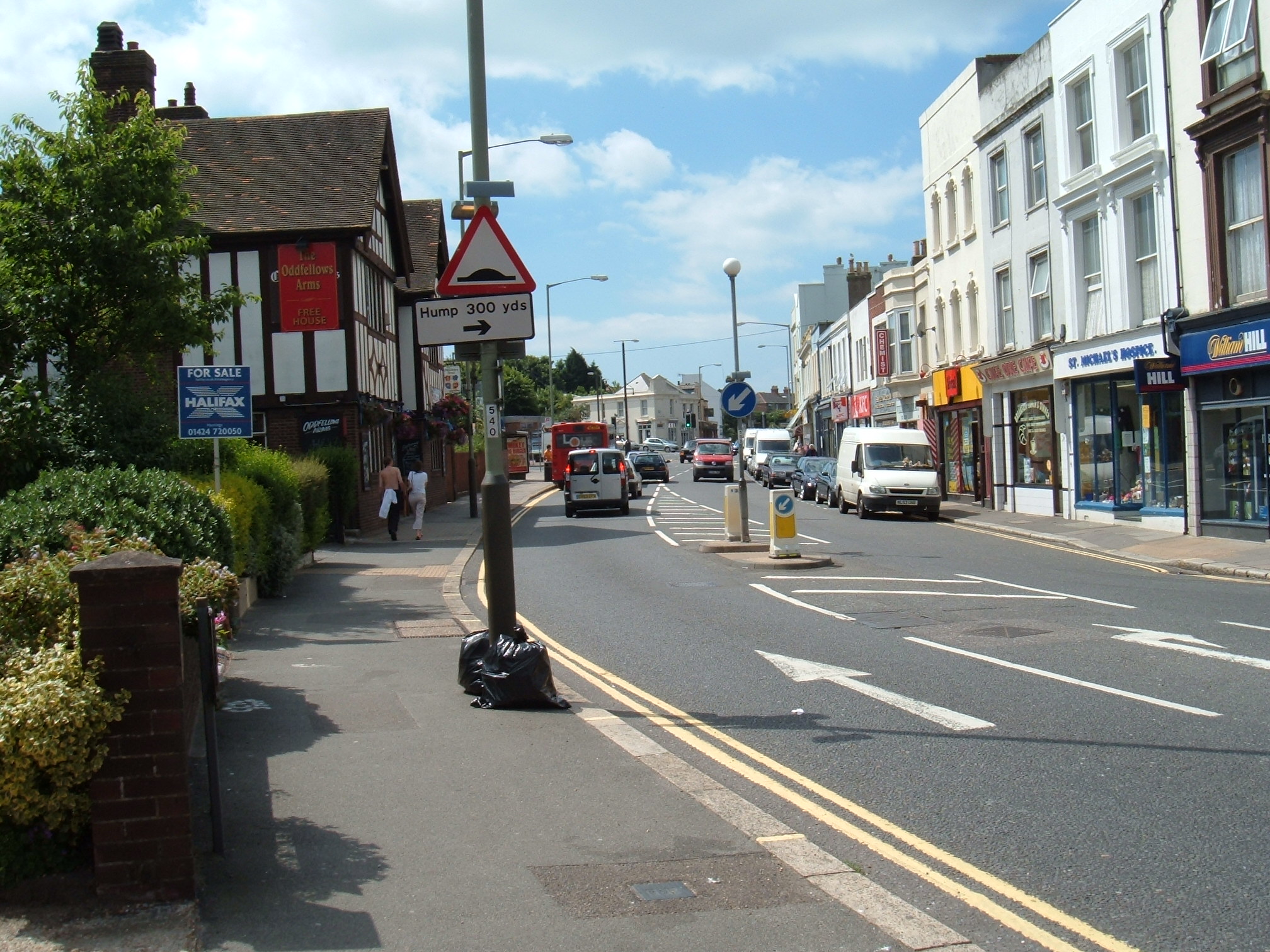
Ore, East Sussex
Ore is a large suburb of the urban area of Hastings, in the Hastings district, in the county of East Sussex, England. Formerly a village, it is still known...
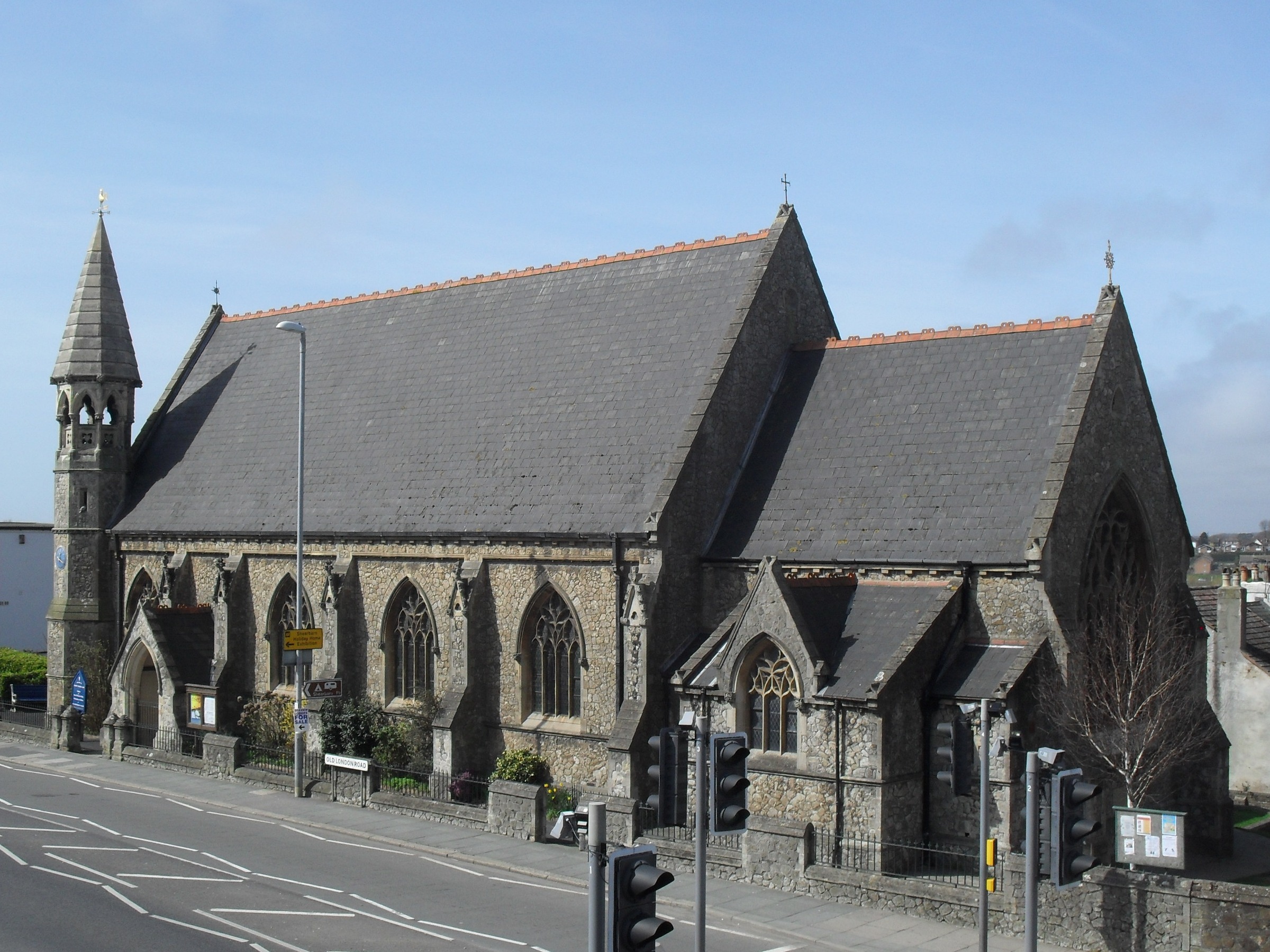
Christ Church, Ore
Christ Church is an Anglican church in the Ore area of the town and borough of Hastings, one of six local government districts in the English county of...
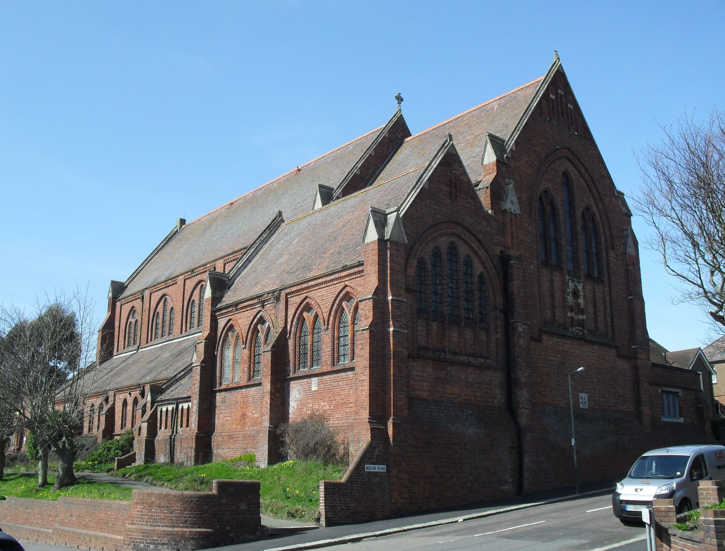
All Souls Church, Hastings
All Souls Church is a former Anglican church that served the Clive Vale suburb of Hastings, a seaside resort town and borough in the English county of...
Speckled Wood, Hastings
Speckled Wood is a 12.7-acre (5.1 ha) woodland and park in Ore Village in the Ore Valley, Hastings, East Sussex, United Kingdom. The woodland park consists...
Nearby Amenities
Located within 500m of 50.869266,0.62140352Have you been to Fishponds Gill?
Leave your review of Fishponds Gill below (or comments, questions and feedback).