Coal Bottom
Valley in Kent Maidstone
England
Coal Bottom

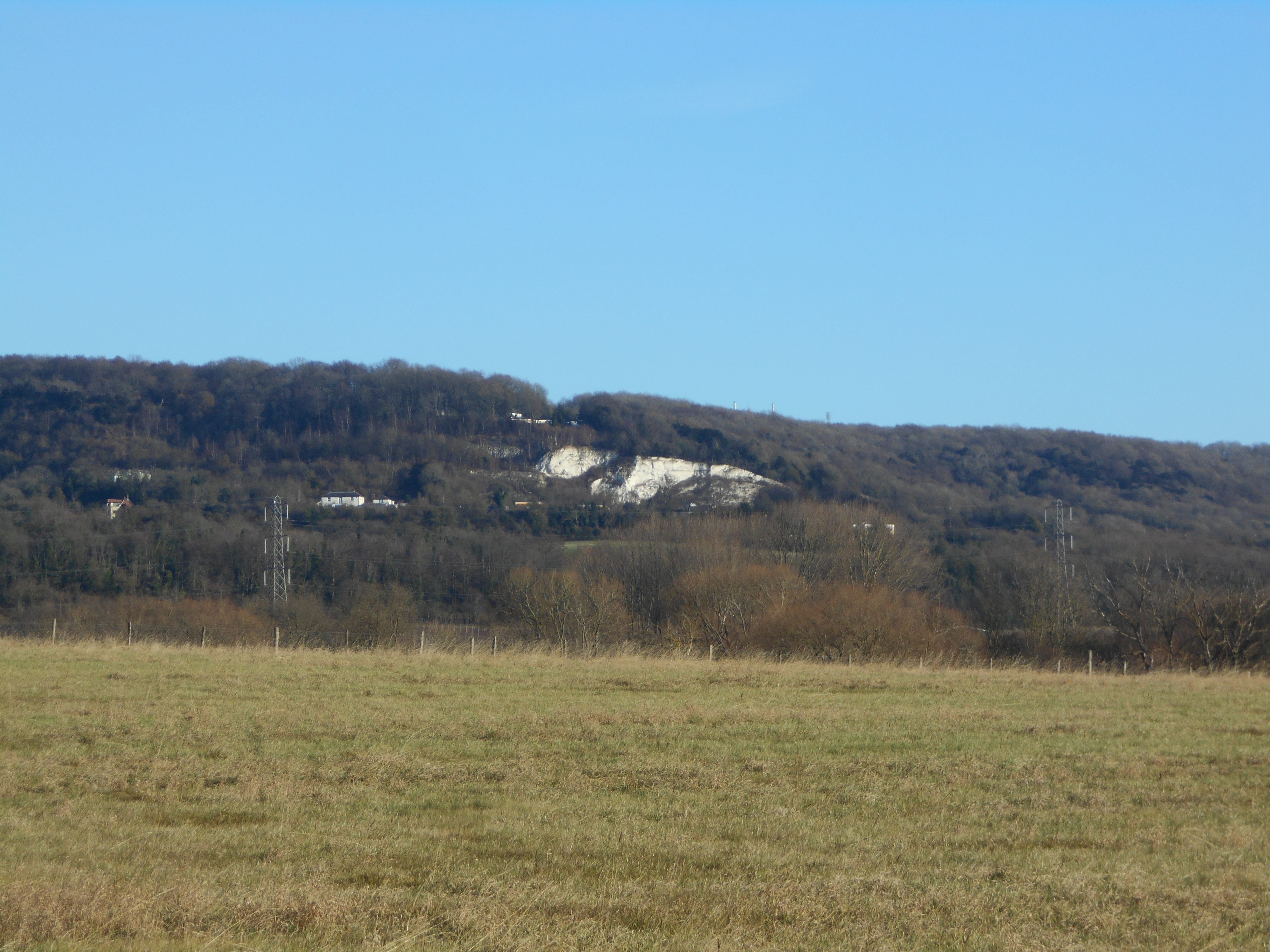
Located in the county of Kent in the southeastern part of England, Coal Bottom (also known as Valley) is a small village with a rich history. Situated near the River Darent, the village is surrounded by picturesque countryside and rolling hills, making it an attractive destination for nature lovers and outdoor enthusiasts.
Coal Bottom gets its name from its historical association with the coal mining industry. In the 19th century, the village was known for its bustling coal mines, which were an important source of fuel for the local area. However, as the demand for coal declined, the mines eventually closed, and the village transitioned into a more agricultural community.
Today, Coal Bottom is a quiet and close-knit community with a population of around 500 residents. The village is characterized by its charming cottages, many of which date back to the 18th and 19th centuries. The local church, St. Mary's, is another notable landmark, boasting stunning architectural features and serving as a focal point for the community.
Coal Bottom is well-connected to nearby towns and cities, with good transport links and access to amenities such as shops, schools, and healthcare facilities. The village also benefits from its proximity to beautiful natural areas, including the Kent Downs Area of Outstanding Natural Beauty, which offers opportunities for walking, cycling, and enjoying the scenic countryside.
In summary, Coal Bottom (Valley) is a quaint village in Kent, known for its coal mining heritage, picturesque surroundings, and tight-knit community.
If you have any feedback on the listing, please let us know in the comments section below.
Coal Bottom Images
Images are sourced within 2km of 51.333072/0.52609138 or Grid Reference TQ7662. Thanks to Geograph Open Source API. All images are credited.


Coal Bottom is located at Grid Ref: TQ7662 (Lat: 51.333072, Lng: 0.52609138)
Administrative County: Kent
District: Maidstone
Police Authority: Kent
What 3 Words
///flinch.morphing.really. Near Burham, Kent
Nearby Locations
Related Wikis
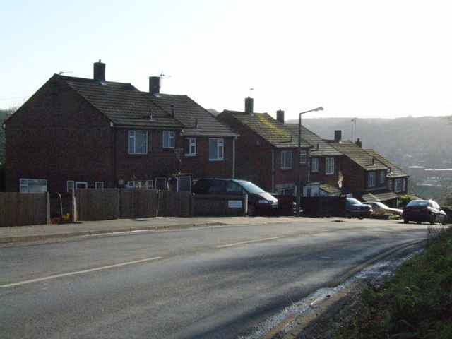
Walderslade
Walderslade is a large suburb in Kent to the south of Chatham split between the unitary authority of Medway and the boroughs of Maidstone and Tonbridge...
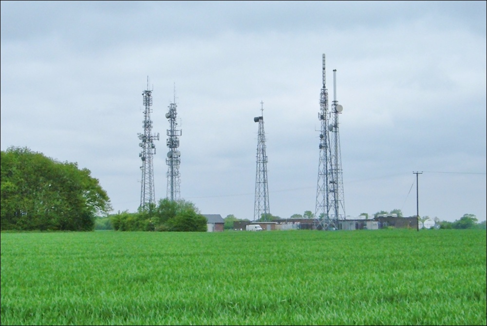
Bluebell Hill transmitting station
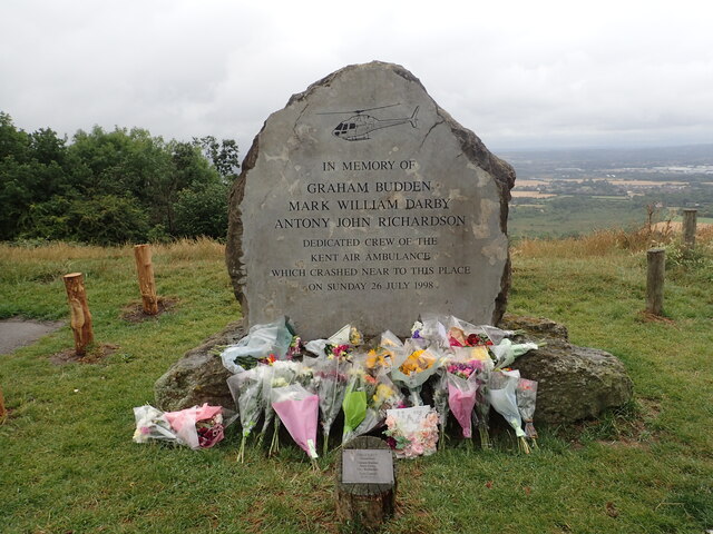
The Bluebell Hill transmitting station is a broadcasting and telecommunications facility located at Blue Bell Hill between Maidstone and Rochester in the...

Lordswood, Kent
Lordswood is a southern suburb of Chatham, Kent, located approximately 3 miles south of Chatham town centre. It is primarily in Medway but a small southern...
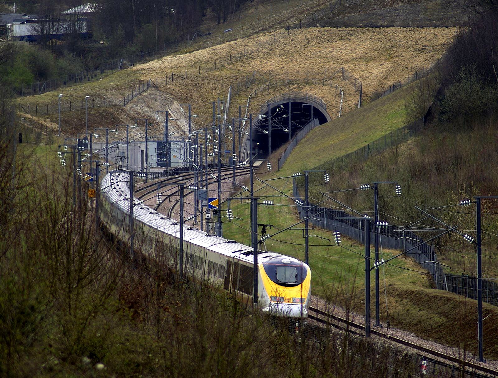
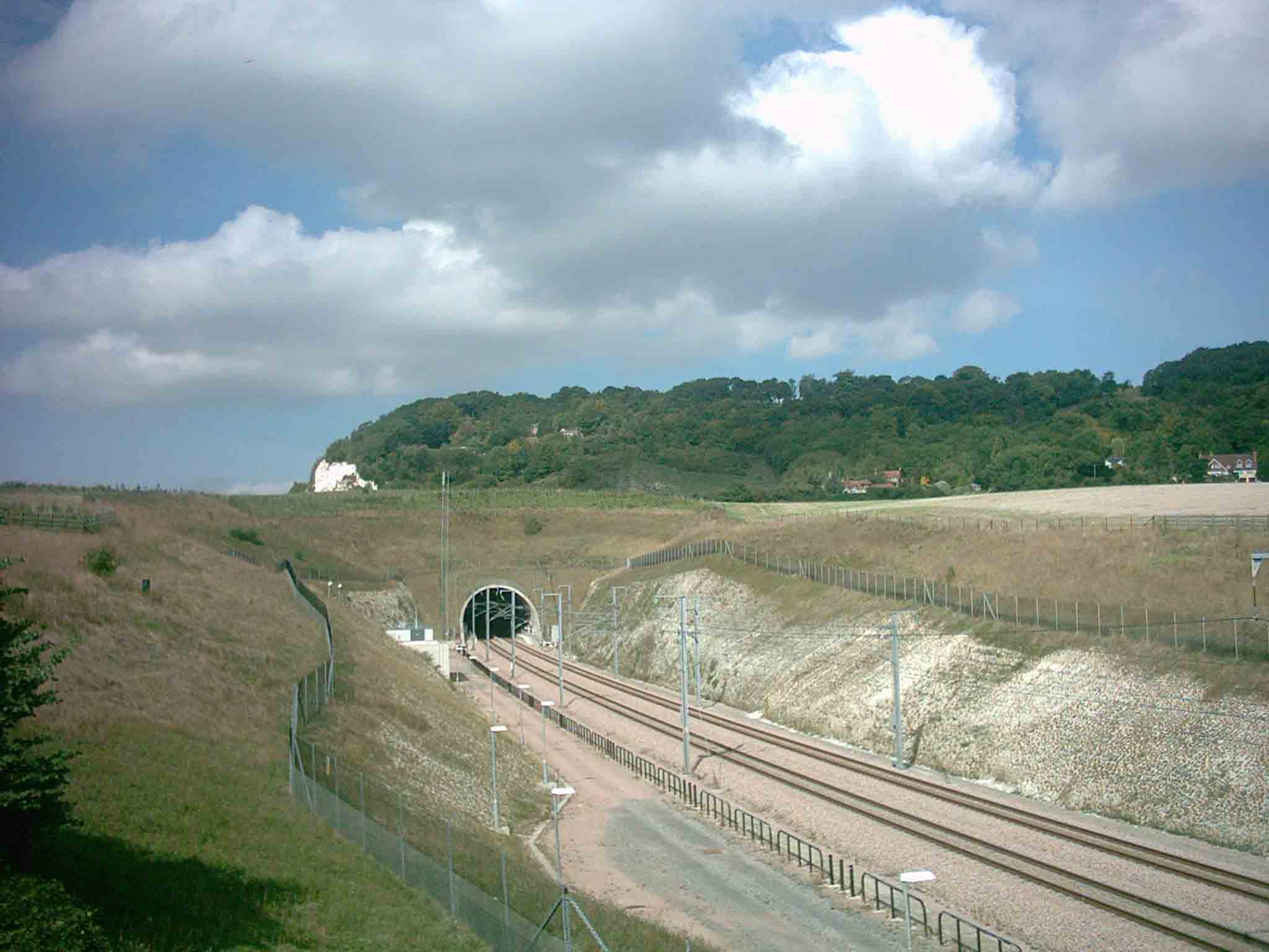
North Downs Tunnel
The North Downs Tunnel, also known as the Blue Bell Hill Tunnel, is a railway tunnel that carries High Speed 1 through the North Downs, at Blue Bell Hill...
Wouldham to Detling Escarpment
Wouldham to Detling Escarpment is a 311.2-hectare (769-acre) biological and geological Site of Special Scientific Interest which stretches from Wouldham...
Blue Bell Hill (village)
Blue Bell Hill is a village in the Aylesford parish of the borough of Tonbridge and Malling in Kent, England. It is located halfway between Chatham and...
Lordswood F.C.
Lordswood Football Club is a football club based in the Lordswood suburb of Chatham, England. They are currently members of the Southern Counties East...

Westfield Wood
Westfield Wood is a 5-hectare (12-acre) nature reserve north of Maidstone in Kent, which is managed by the Kent Wildlife Trust. It is part of the Wouldham...
Related Videos


Nearby Amenities
Located within 500m of 51.333072,0.52609138Have you been to Coal Bottom?
Leave your review of Coal Bottom below (or comments, questions and feedback).