Devil's Bottom
Valley in Norfolk King's Lynn and West Norfolk
England
Devil's Bottom
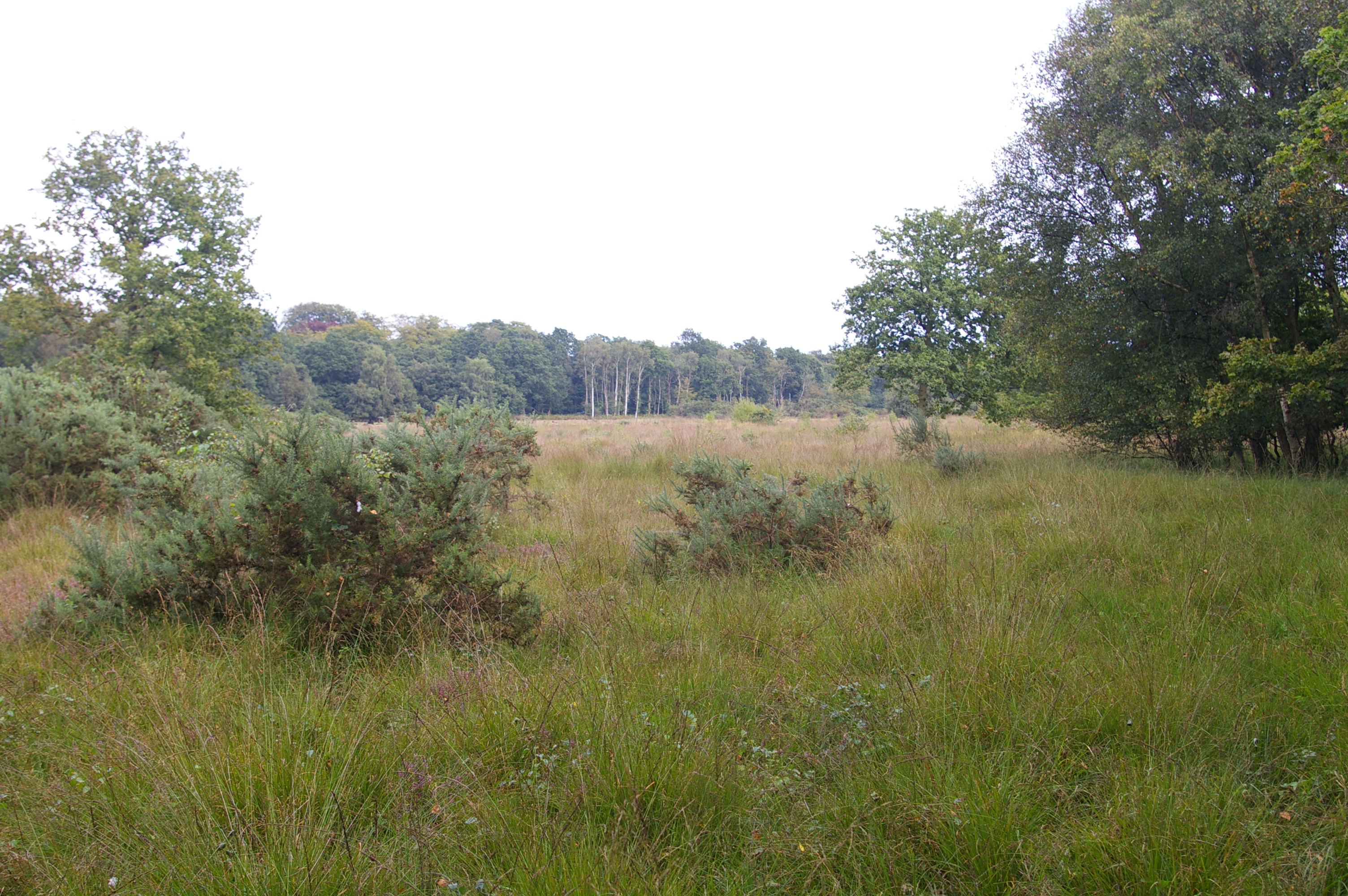
Devil's Bottom is a small valley located in the county of Norfolk, England. Situated near the village of Thetford, it is nestled within the picturesque Thetford Forest, which spans across the border of Norfolk and Suffolk. The valley gets its intriguing name from local folklore and the eerie ambiance that is often associated with it.
This secluded and densely wooded area is renowned for its natural beauty, featuring lush greenery, rolling hills, and a meandering river that runs through it. The valley is a haven for nature enthusiasts, offering a multitude of walking trails and hiking routes that allow visitors to explore its tranquil surroundings. The dense forest provides a habitat for an array of wildlife, including deer, rabbits, and various bird species.
The valley has a rich history, with evidence of human activity dating back thousands of years. Archaeological discoveries suggest that the area was inhabited by ancient civilizations, leaving behind remnants such as burial mounds and pottery fragments. Today, Devil's Bottom is a popular spot for history buffs and archaeology enthusiasts, who can delve into the region's past through guided tours and educational programs.
Due to its remote location and natural beauty, Devil's Bottom has also become a place of fascination for those interested in paranormal activities. Local legends and ghost stories have contributed to its mysterious reputation, attracting thrill-seekers and ghost hunters who hope to experience supernatural encounters.
In conclusion, Devil's Bottom is a captivating valley in Norfolk, offering a blend of natural splendor, archaeological significance, and an intriguing folklore that continues to captivate visitors.
If you have any feedback on the listing, please let us know in the comments section below.
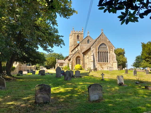
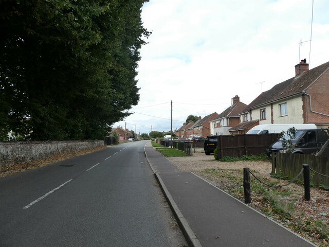
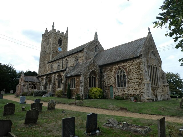
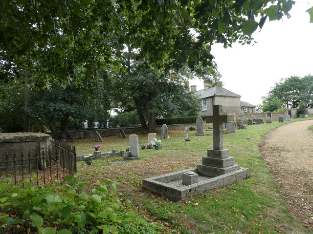
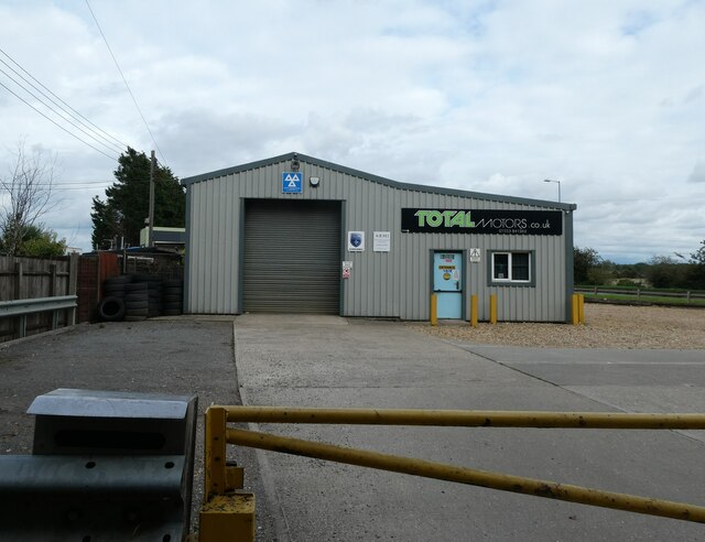
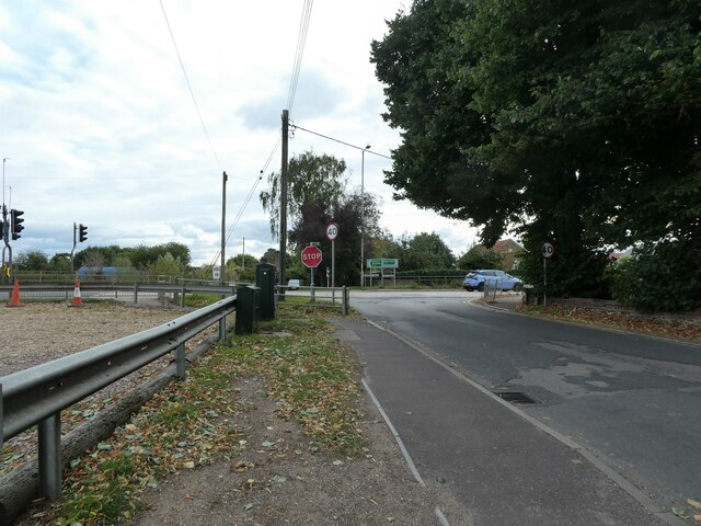
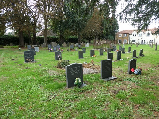
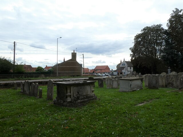
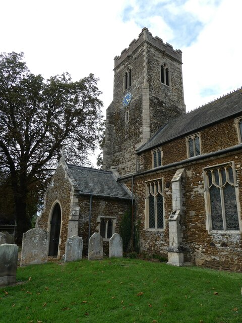
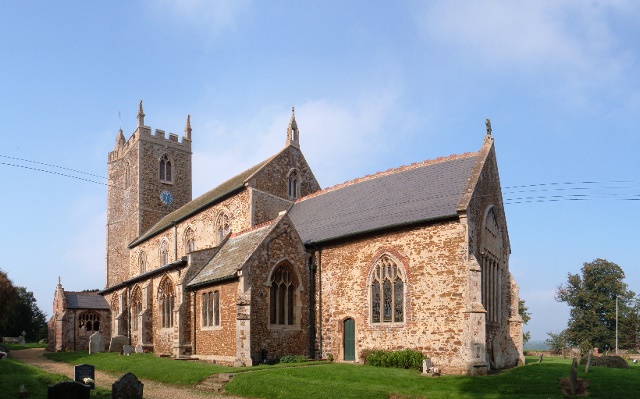
Devil's Bottom Images
Images are sourced within 2km of 52.716564/0.48746608 or Grid Reference TF6816. Thanks to Geograph Open Source API. All images are credited.


Devil's Bottom is located at Grid Ref: TF6816 (Lat: 52.716564, Lng: 0.48746608)
Administrative County: Norfolk
District: King's Lynn and West Norfolk
Police Authority: Norfolk
What 3 Words
///retailing.handyman.finders. Near King's Lynn, Norfolk
Nearby Locations
Related Wikis
East Winch
East Winch is a village and civil parish in the English county of Norfolk. The village is located 4.9 miles (7.9 km) south-east of King's Lynn and 34 miles...

Middleton, Norfolk
Middleton is a village and civil parish in the English county of Norfolk. It covers an area of 5.02 sq mi (13.0 km2) and had a population of 1,516 in 621...
East Winch Common
East Winch Common is a 26.1-hectare (64-acre) biological Site of Special Scientific Interest south-east of King's Lynn in Norfolk. It is common land and...

Middleton Towers
Middleton Towers is a privately owned country house in Norfolk, England, near the village of Middleton and about 3 miles (5 km) east of King's Lynn. The...

Blackborough End Pit
Blackborough End Pit is a 13.2-hectare (33-acre) geological Site of Special Scientific Interest south-east of King's Lynn in Norfolk. It is a Geological...
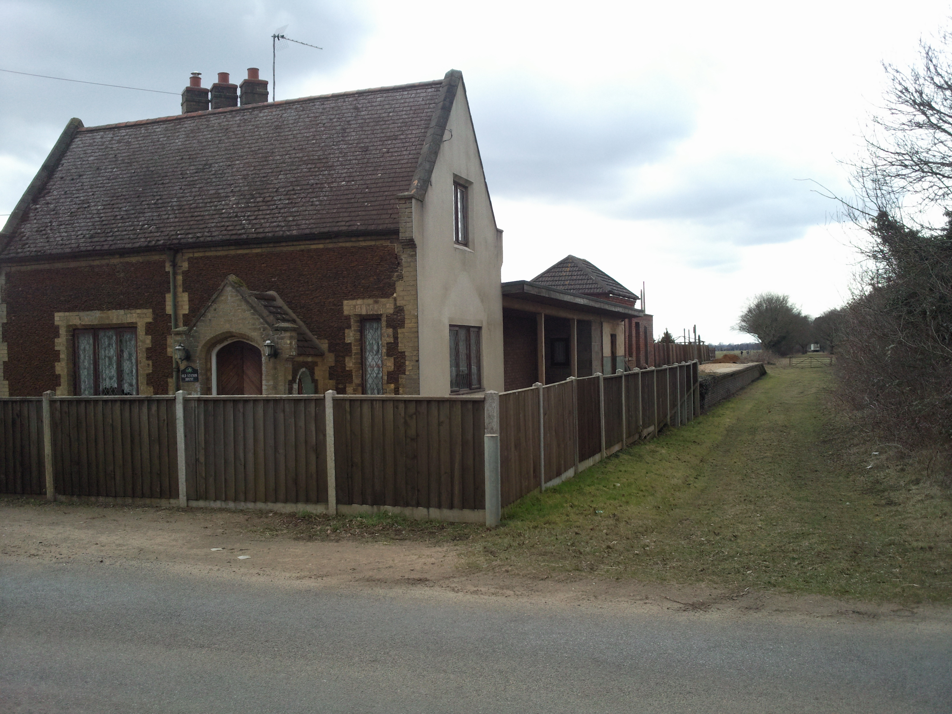
East Winch railway station
East Winch railway station was at East Winch, Norfolk, England on the line between King's Lynn and Swaffham. It closed in 1968. The signal box from the...

Middleton Mount
Middleton Mount, also called Middleton Motte and Middleton Castle, is the remains of a medieval castle situated in the village of Middleton, in Norfolk...

Blackborough Priory
Blackborough Priory was a Benedictine monastic house in Norfolk, England, about 5 miles or 8 km south east of King's Lynn. The Ordnance Survey map shows...
Nearby Amenities
Located within 500m of 52.716564,0.48746608Have you been to Devil's Bottom?
Leave your review of Devil's Bottom below (or comments, questions and feedback).