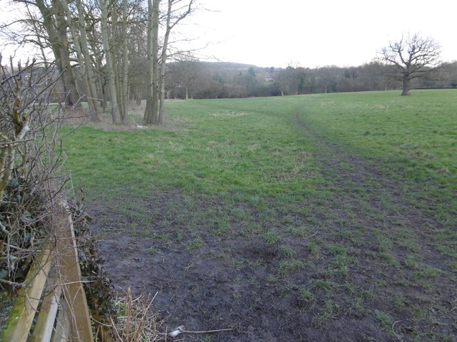
Woodcock Bottom
Valley in Kent Tonbridge and Malling
England
Woodcock Bottom
Woodcock Bottom is a picturesque village located in the county of Kent, England. Situated in the beautiful valley region, it is affectionately known as Woodcock Bottom, Kent. The village is surrounded by stunning natural landscapes, with rolling hills, idyllic fields, and charming woodlands, making it a popular destination for nature enthusiasts and hikers.
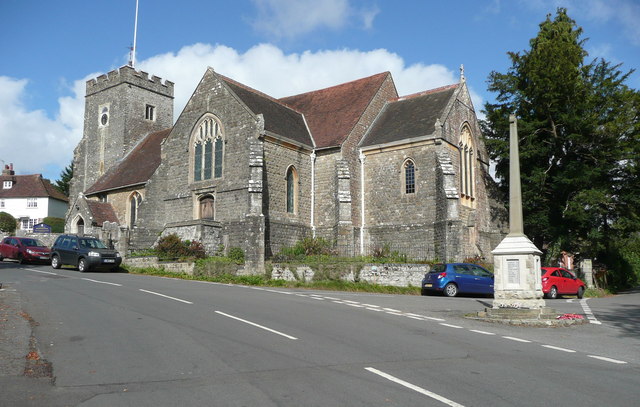
The village itself exudes a tranquil and peaceful atmosphere, with its quaint cottages and traditional architecture. Its close-knit community prides itself on preserving its rich history and heritage. The village church, St. Mary's, stands proudly in the heart of Woodcock Bottom, serving as a focal point for both religious and social gatherings.
Woodcock Bottom offers a range of amenities to cater to the needs of its residents and visitors. The village boasts a local pub, The Woodcock Inn, which is renowned for its warm hospitality and traditional cuisine. Additionally, there are a handful of small shops and businesses that provide essential services to the community.
The surrounding countryside provides ample opportunities for outdoor activities, including hiking, cycling, and birdwatching. Woodcock Bottom is particularly known for its diverse bird population, attracting birdwatchers from far and wide.
Despite its rural setting, Woodcock Bottom benefits from good transportation links, with regular bus services connecting it to nearby towns and cities. This allows residents to enjoy the peacefulness of village life while still having access to urban amenities and employment opportunities.
Woodcock Bottom, Kent, is a hidden gem in the heart of the county, offering a perfect blend of natural beauty, community spirit, and convenient living.
If you have any feedback on the listing, please let us know in the comments section below.
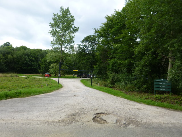
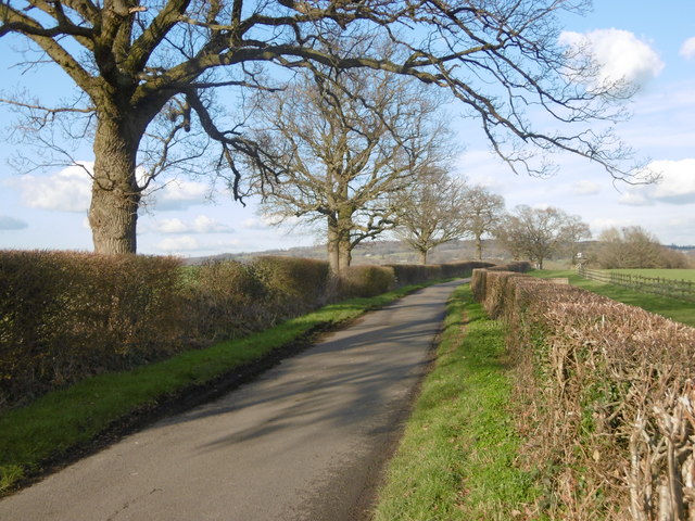
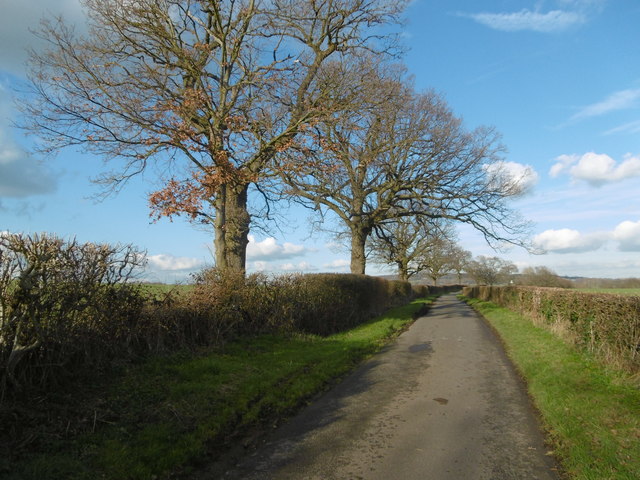
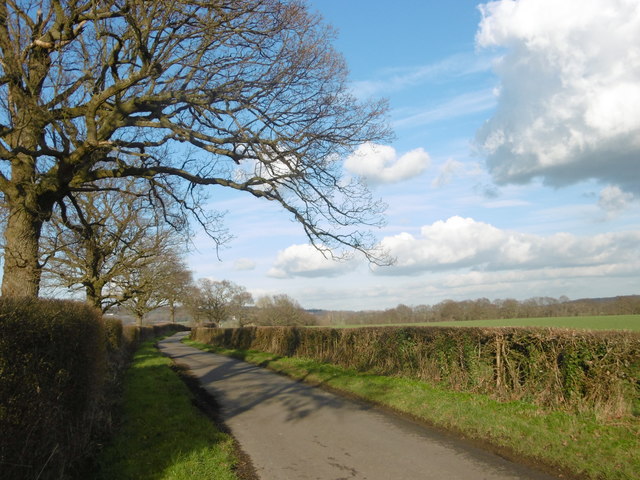
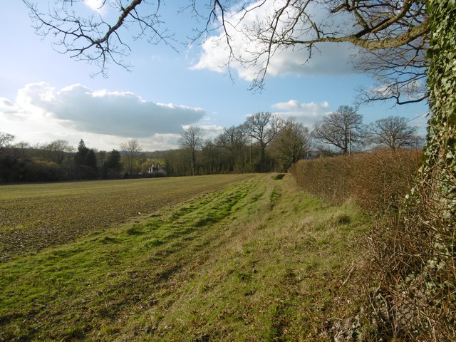
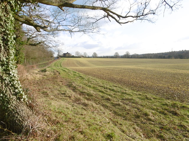
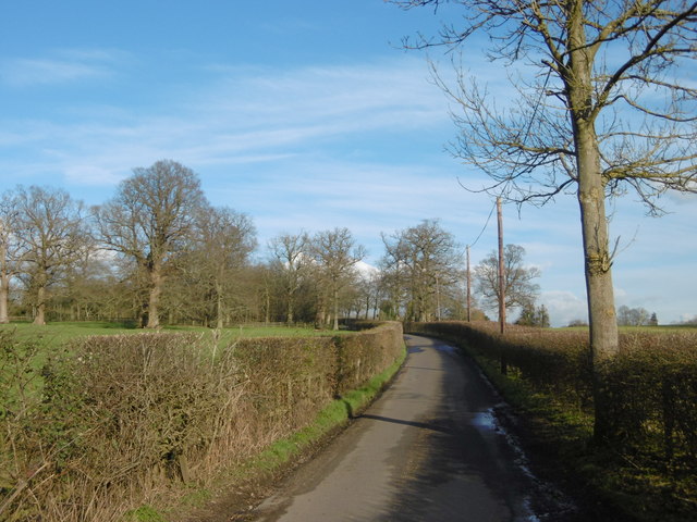
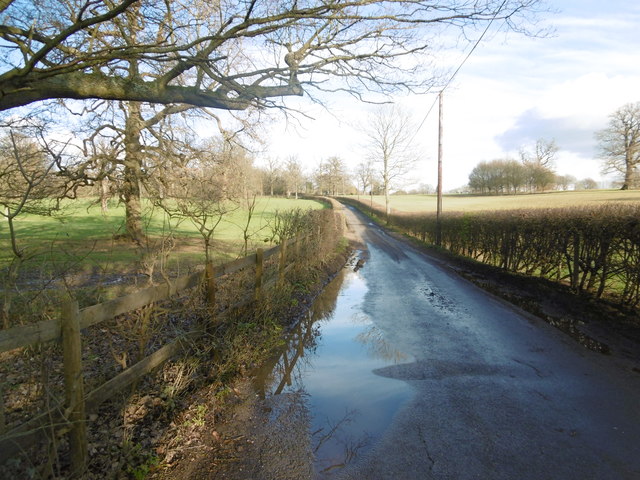
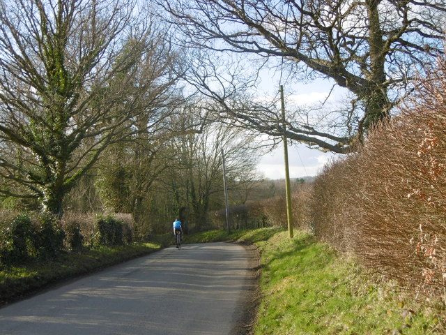
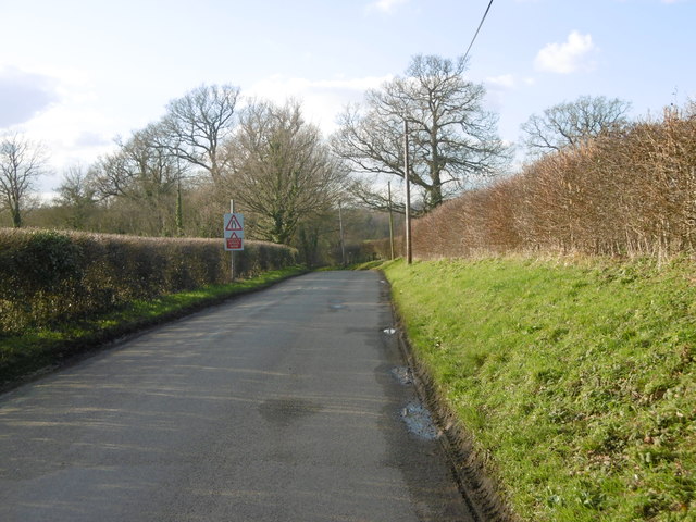
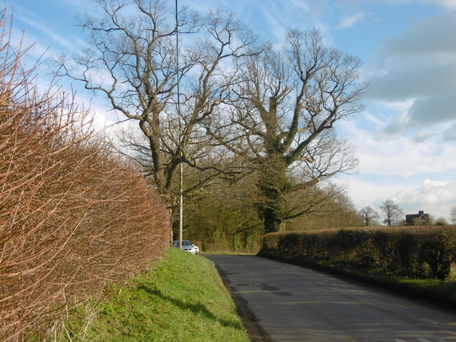
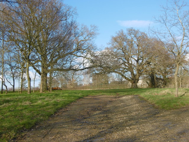
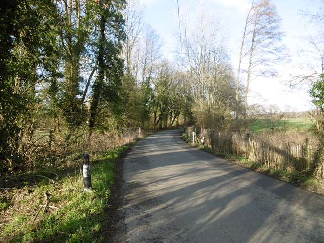
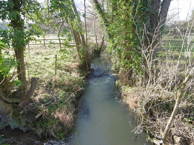
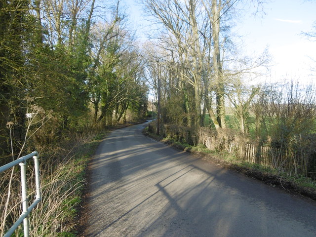
Woodcock Bottom Images
Images are sourced within 2km of 51.242105/0.2977266 or Grid Reference TQ6051. Thanks to Geograph Open Source API. All images are credited.

Woodcock Bottom is located at Grid Ref: TQ6051 (Lat: 51.242105, Lng: 0.2977266)
Administrative County: Kent
District: Tonbridge and Malling
Police Authority: Kent
What 3 Words
///remain.entire.every. Near Hadlow, Kent
Nearby Locations
Related Wikis
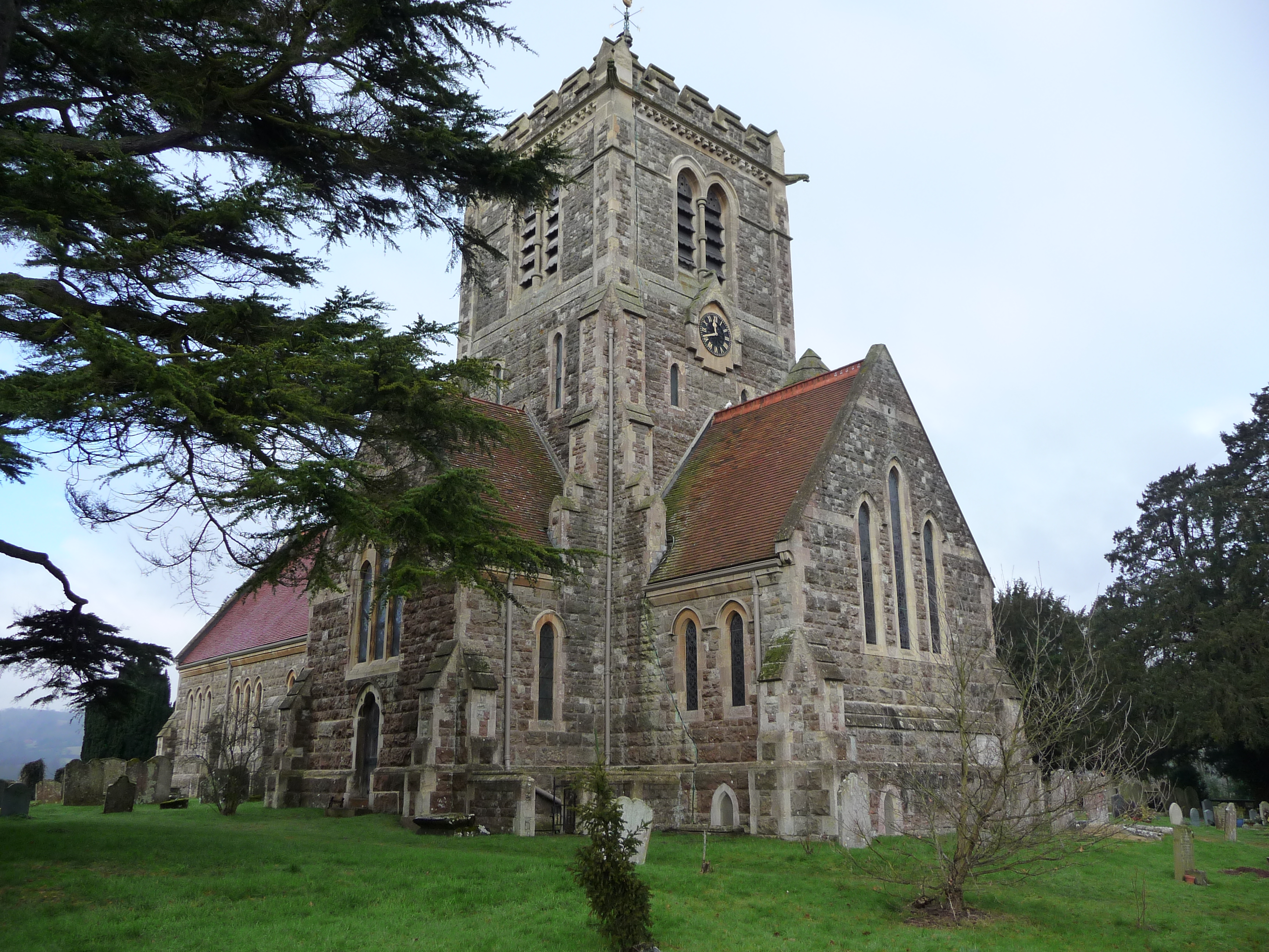
Shipbourne
Shipbourne ( SHIB-ərn) is a village and civil parish situated between the towns of Sevenoaks and Tonbridge, in the borough of Tonbridge and Malling in...

Plaxtol
Plaxtol is a village and civil parish in the borough of Tonbridge and Malling in Kent, England. The village is located around 5 miles (8 km) north of Tonbridge...

Thomas Delarue School
Thomas Delarue was a co-educational special secondary boarding school in Tonbridge, Kent, England that was established in 1955 and closed in 1989. It was...

Fairlawne
Fairlawne is a Grade I listed house in Shipbourne, Kent, England, about 30 miles southeast of central London. The Fairlawne Estate is extensive and stretches...
Yopps Green
Yopps Green is a hamlet in the Tonbridge and Malling District, in the county of Kent, England. It is part of the small village of Plaxtol. == Location... ==

Tonbridge and Malling (UK Parliament constituency)
Tonbridge and Malling is a constituency in Kent represented in the House of Commons of the UK Parliament since 2015 by Tom Tugendhat, a Conservative. The...
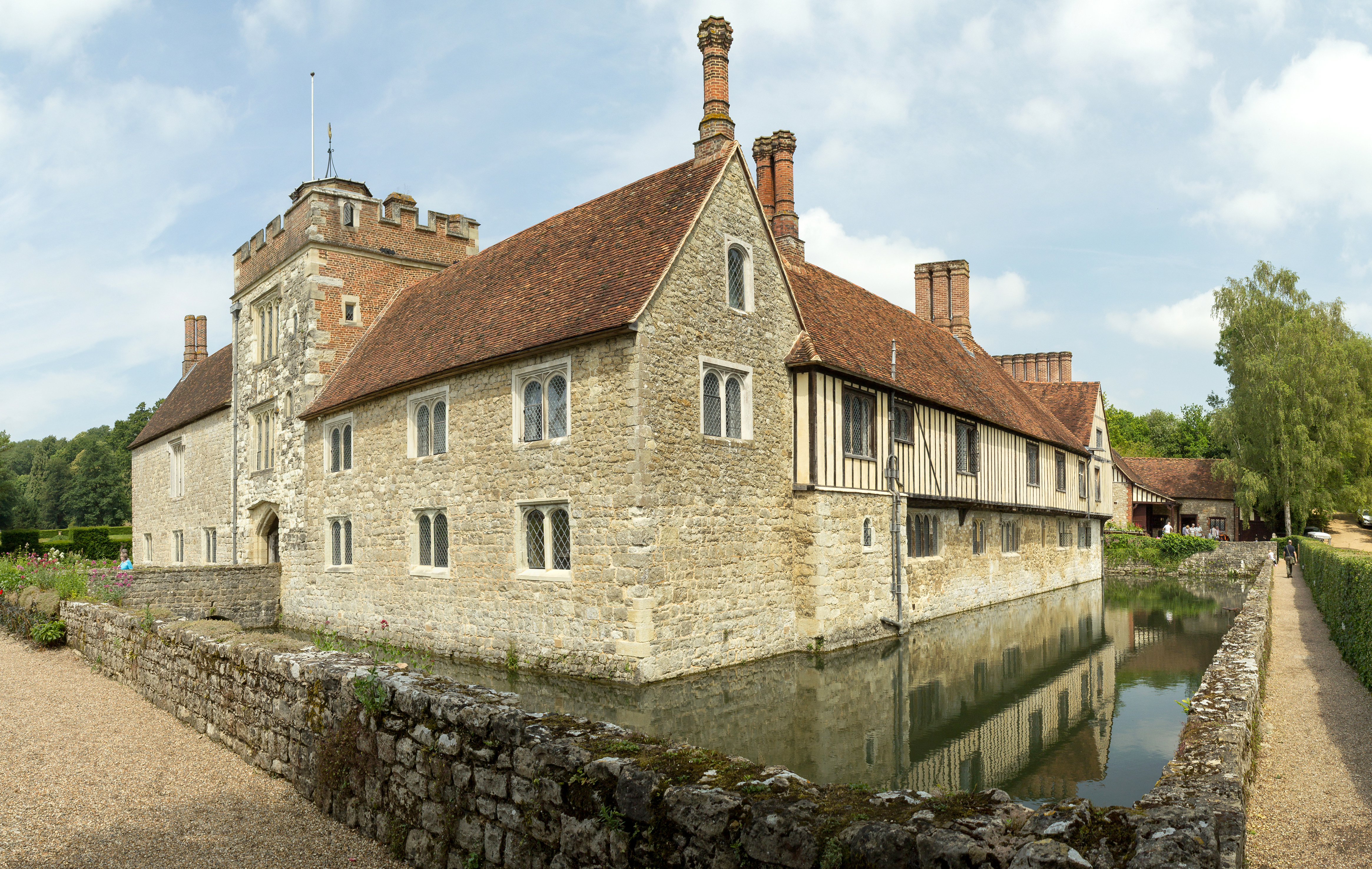
Ightham Mote
Ightham Mote (), at Ightham, is a medieval moated manor house in Kent, England. The architectural writer John Newman describes it as "the most complete...
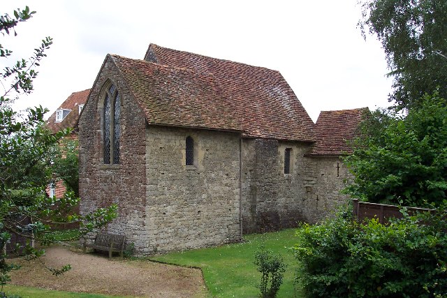
Old Soar Manor
Old Soar Manor is an English Heritage property, owned and maintained by the National Trust. Located near Plaxtol, Kent, England, it is a small 13th century...
Nearby Amenities
Located within 500m of 51.242105,0.2977266Have you been to Woodcock Bottom?
Leave your review of Woodcock Bottom below (or comments, questions and feedback).