The Dell
Valley in Kent Sevenoaks
England
The Dell
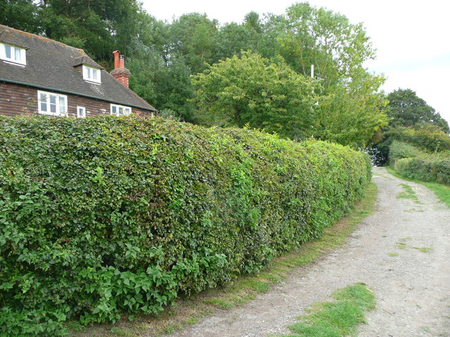
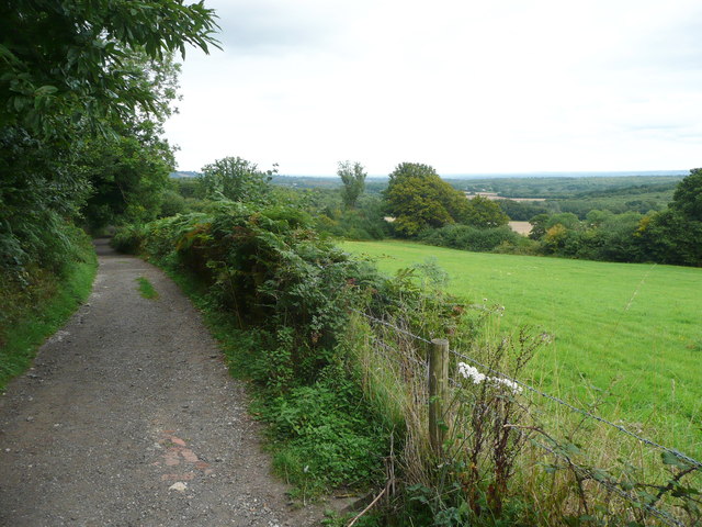
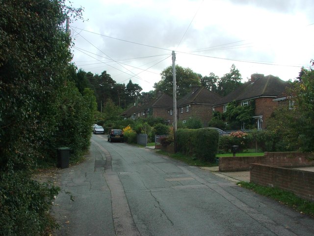
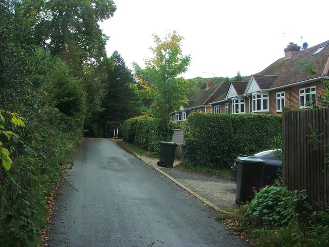
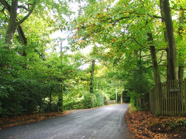
The Dell is a small village located in the county of Kent, in the southeastern part of England, specifically within the Valley area. Situated amidst picturesque countryside, The Dell offers a tranquil and idyllic setting for its residents. The village is nestled within a valley, surrounded by rolling hills and lush green fields, creating a stunning backdrop for its quaint and charming atmosphere.
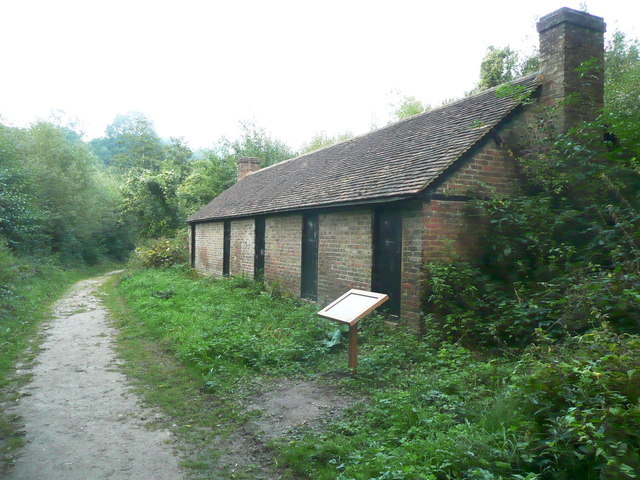
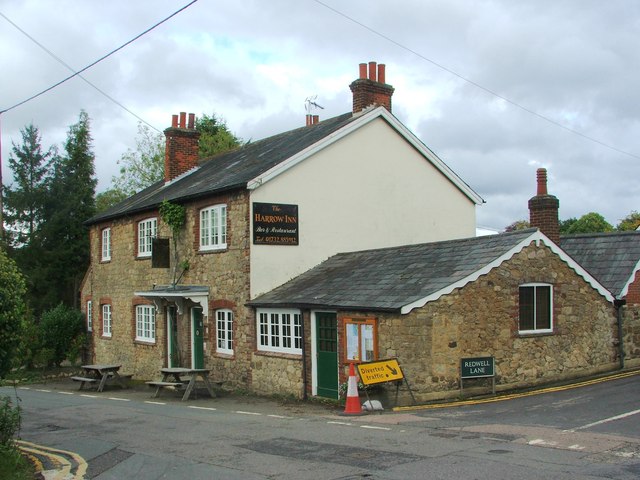
Although The Dell is a relatively small village, it boasts a close-knit community that takes pride in its heritage and natural surroundings. The village is known for its traditional architecture, with many buildings dating back several centuries. The local pub, a focal point of the community, provides a warm and welcoming atmosphere for both residents and visitors to enjoy.
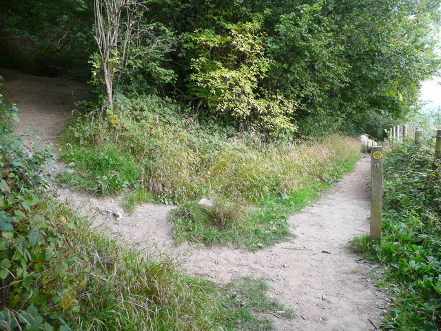
Nature enthusiasts will appreciate the abundance of outdoor activities available in The Dell. The surrounding countryside offers numerous walking trails, perfect for exploring the area's natural beauty. Additionally, the village is located near several nature reserves and parks, providing opportunities for wildlife watching and bird spotting.
Despite its rural setting, The Dell benefits from its proximity to larger towns and cities. The village is conveniently situated near major transport links, allowing for easy access to nearby amenities and attractions. Residents can enjoy the peacefulness of village life while still having access to the conveniences of larger urban areas.
In summary, The Dell is a charming and serene village located in the beautiful countryside of Kent. With its rich history, stunning natural surroundings, and close-knit community, The Dell offers a peaceful and picturesque retreat for its residents.
If you have any feedback on the listing, please let us know in the comments section below.
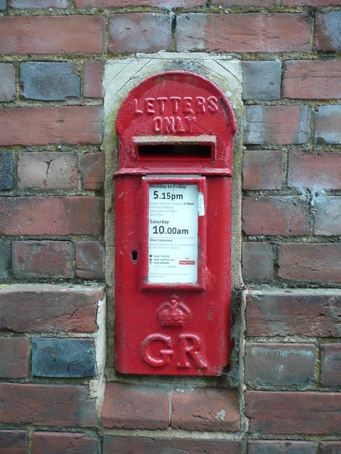
The Dell Images
Images are sourced within 2km of 51.26326/0.26252974 or Grid Reference TQ5753. Thanks to Geograph Open Source API. All images are credited.


The Dell is located at Grid Ref: TQ5753 (Lat: 51.26326, Lng: 0.26252974)
Administrative County: Kent
District: Sevenoaks
Police Authority: Kent
What 3 Words
///lives.cowboy.petty. Near Borough Green, Kent
Nearby Locations
Related Wikis
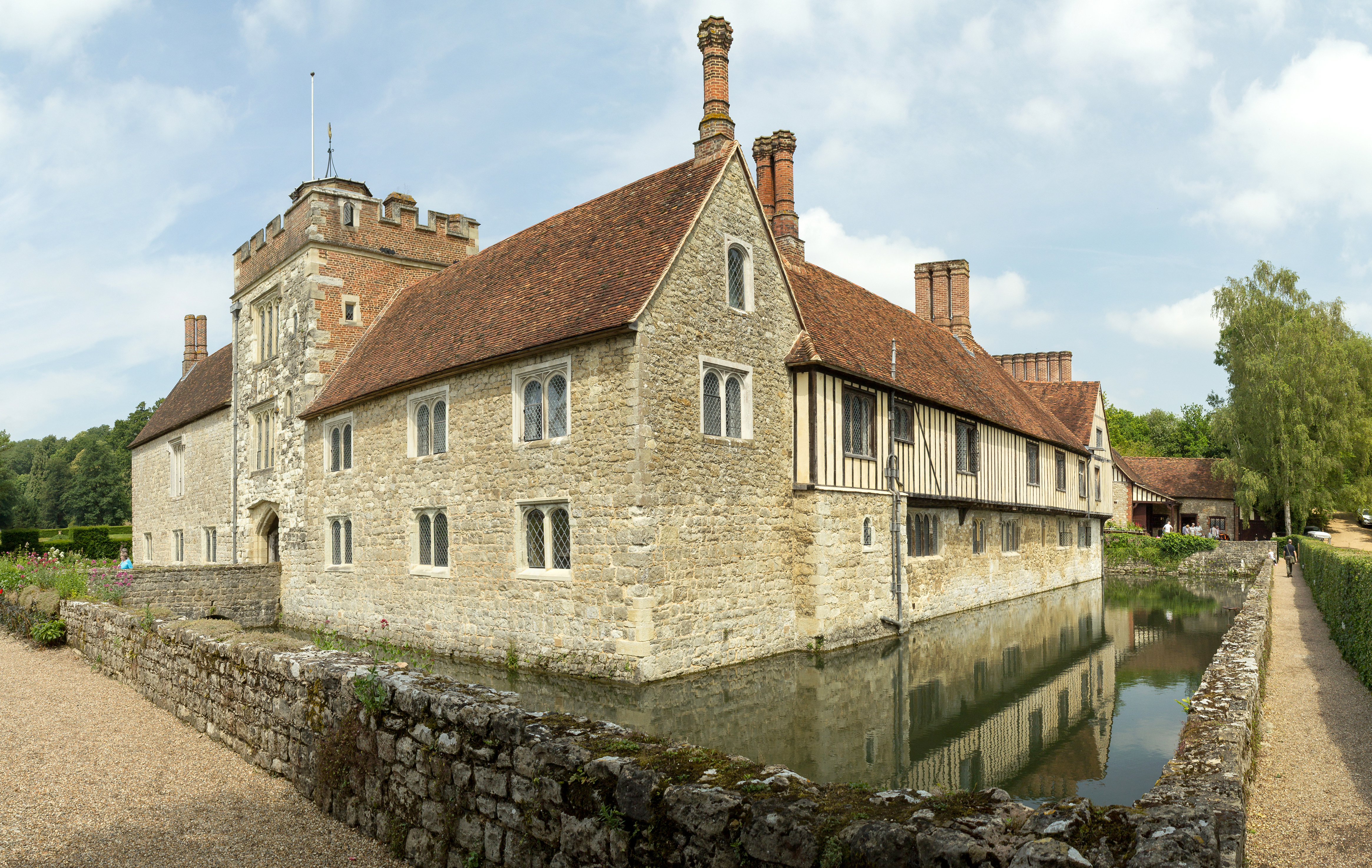
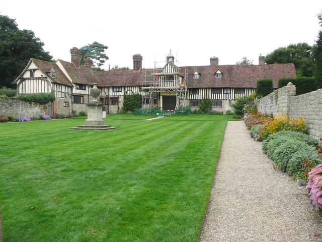
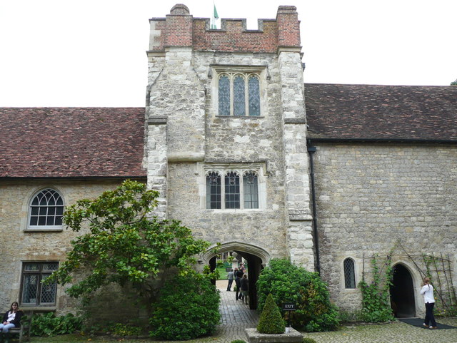
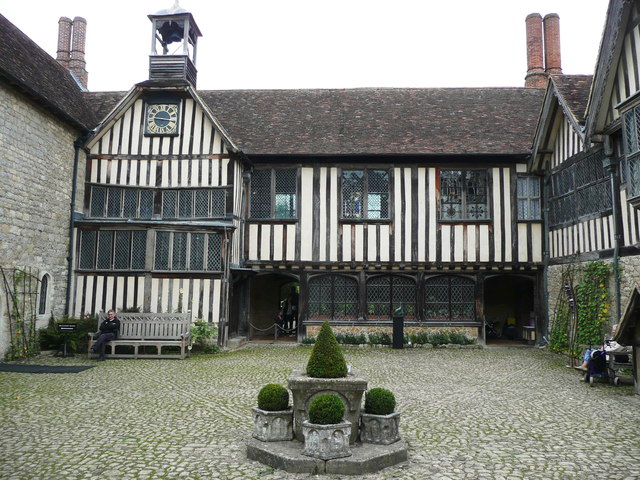
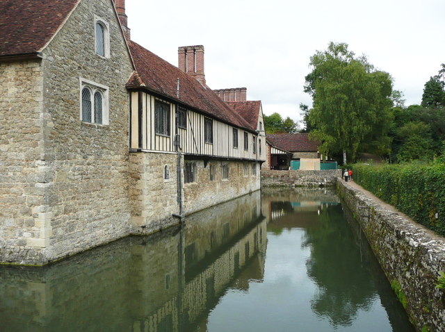
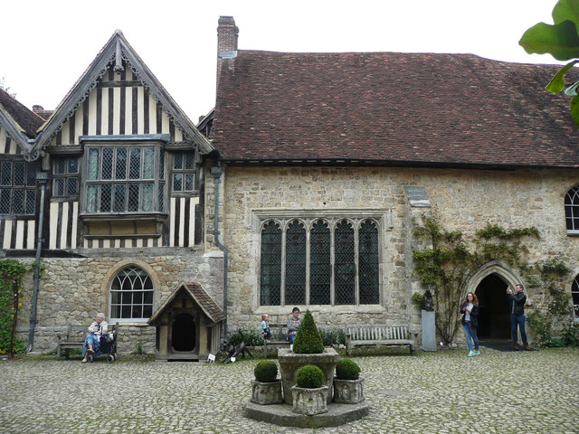
Ightham Mote
Ightham Mote (), at Ightham, is a medieval moated manor house in Kent, England. The architectural writer John Newman describes it as "the most complete...

Ivy Hatch Nature Reserve
Ivy Hatch Nature Reserve in Ivy Hatch, north of Tonbridge in Kent, is a 0.5-hectare (1.2-acre) reserve managed by the Kent Wildlife Trust.Several streams...

One Tree Hill and Bitchet Common
One Tree Hill and Bitchet Common is a 79.2-hectare (196-acre) biological Site of Special Scientific Interest east of Sevenoaks in Kent. It is in Kent Downs...

Fairlawne
Fairlawne is a Grade I listed house in Shipbourne, Kent, England, about 30 miles southeast of central London. The Fairlawne Estate is extensive and stretches...

Oldbury and Seal Chart
Oldbury and Seal Chart is a 212.4-hectare (525-acre) biological Site of Special Scientific Interest east of Sevenoaks in Kent, England. It is in the Kent...

Oldbury Camp
Oldbury Camp (also known as Oldbury hill fort) is the largest Iron Age hill fort in south-eastern England. It was built in the 1st century BC by Celtic...
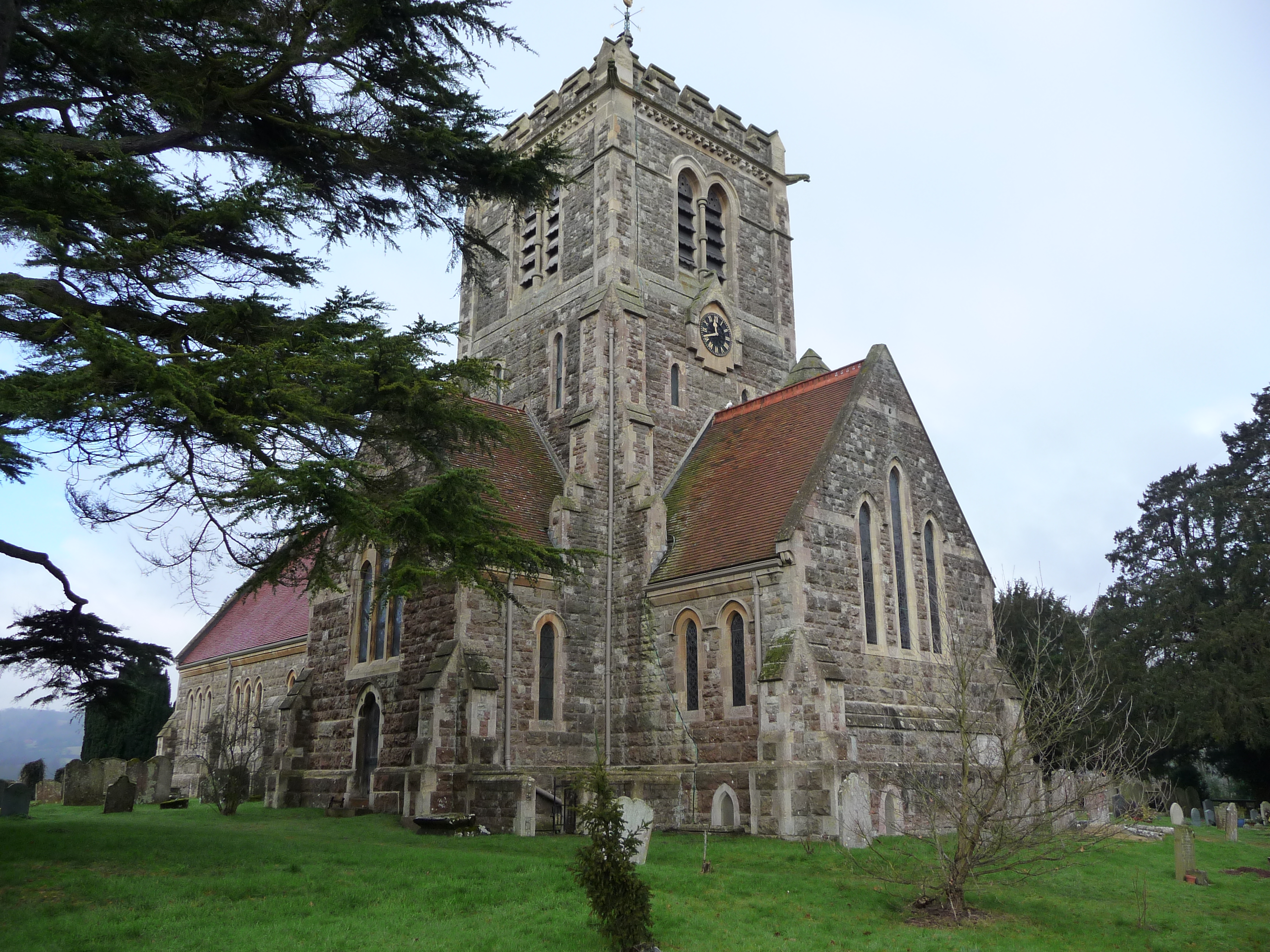
Shipbourne
Shipbourne ( SHIB-ərn) is a village and civil parish situated between the towns of Sevenoaks and Tonbridge, in the borough of Tonbridge and Malling in...

The Old House, Ightham Common
The Old House is a Grade II listed public house at Redwell Lane, Ightham Common, Kent TN15 9EE.It is on the Campaign for Real Ale's National Inventory...
Have you been to The Dell?
Leave your review of The Dell below (or comments, questions and feedback).