Charleston Bottom
Valley in Sussex Wealden
England
Charleston Bottom
Charleston Bottom is a small village located in the district of Sussex, England. Situated in the picturesque valley of Sussex, it is surrounded by rolling hills and meandering rivers, creating a tranquil and idyllic setting. The village is part of the larger Charleston area, renowned for its natural beauty and historical significance.
Charleston Bottom is characterized by its charming rural atmosphere, with traditional stone cottages and thatched roofs dotting the landscape. The village is home to a close-knit community, with a population of approximately 500 residents. Life here is peaceful and unhurried, offering an escape from the bustling city life.
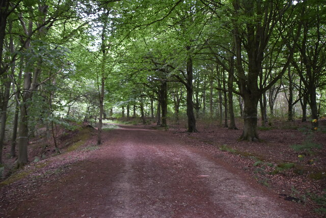
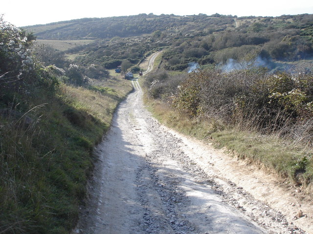
The village is blessed with an abundance of natural beauty, making it a popular destination for nature enthusiasts. The surrounding countryside offers numerous walking trails and scenic vistas, allowing residents and visitors to immerse themselves in the stunning landscape. The nearby rivers provide opportunities for fishing and boating, adding to the recreational appeal of the area.
Despite its small size, Charleston Bottom boasts a strong sense of community. The village has a well-maintained village hall which serves as a hub for various social events and gatherings. It also has a primary school, ensuring that children have access to quality education without having to travel far.
In terms of amenities, the village has a small grocery store and a cozy pub, which serves as a meeting point for locals. However, for a wider range of services, residents often travel to the nearby town of Sussex, which is just a short drive away.
Overall, Charleston Bottom, Sussex offers a peaceful and picturesque retreat for those seeking a slower pace of life amidst natural beauty.
If you have any feedback on the listing, please let us know in the comments section below.
Charleston Bottom Images
Images are sourced within 2km of 50.781923/0.17243697 or Grid Reference TQ5300. Thanks to Geograph Open Source API. All images are credited.


Charleston Bottom is located at Grid Ref: TQ5300 (Lat: 50.781923, Lng: 0.17243697)
Administrative County: East Sussex
District: Wealden
Police Authority: Sussex
What 3 Words
///butterfly.beaks.pictures. Near Friston, East Sussex
Nearby Locations
Related Wikis

Friston Forest
Friston Forest is a forest, located between Seaford and Eastbourne in East Sussex. It is part of the South Downs National Park area. The forest is managed...

Lullington Heath
Lullington Heath is a 72.7-hectare (180-acre) biological Site of Special Scientific Interest west of Eastbourne in East Sussex. It is a national nature...

Litlington, East Sussex
Litlington is a village and former civil parish, now in the parish of Cuckmere Valley, in the Wealden district, in the county of East Sussex, England....

RAF Friston
Royal Air Force Friston or more simply RAF Friston is a former Royal Air Force satellite station and Emergency Landing Ground located in East Sussex, England...
Cuckmere Valley
Cuckmere Valley is a civil parish in the Wealden District of East Sussex, England. As its name suggests, the parish consists of a number of small settlements...

Litlington White Horse
The Litlington White Horse is a chalk hill figure depicting a horse, situated on Hindover Hill (known locally as High-and-Over) in the South Downs, looking...
Lullington, East Sussex
Lullington is a village and former civil parish, now in the parish of Cuckmere Valley, in the Wealden district, in the county of East Sussex, England....

Seven Sisters, East Sussex
The Seven Sisters are a series of chalk sea cliffs on the English Channel coast, and are a stretch of the sea-eroded section of the South Downs range of...
Related Videos
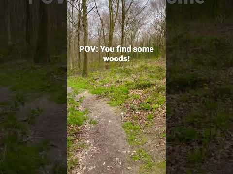

A Solo Hiking Adventure: Friston Forest
With my planned West Highland Way Hike fast approaching I decided I had better get some practice hikes in! These plans took a ...
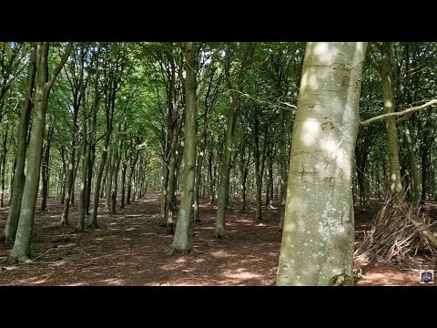
A Solo Hiking Adventure: Friston Forest
Join me as I hike the 11km loop trail near Eastbourne, East Sussex It is generally considered a moderately challenging route (I'd ...

Vlog 1 Travel to Seven Sister Cliffs Brighton
Seven Sister Cliffs.
Nearby Amenities
Located within 500m of 50.781923,0.17243697Have you been to Charleston Bottom?
Leave your review of Charleston Bottom below (or comments, questions and feedback).