Combe Bottom
Valley in Sussex Wealden
England
Combe Bottom

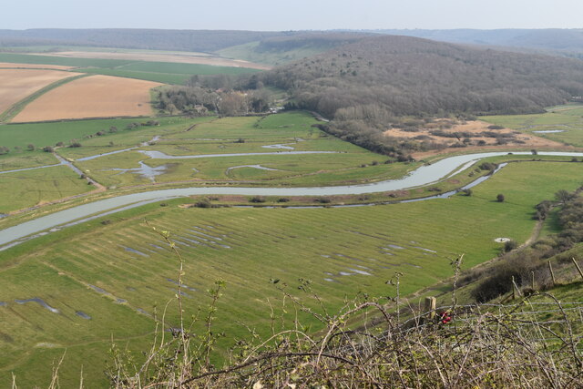
Combe Bottom is a picturesque valley located in the county of Sussex, England. Nestled amidst the rolling hills of the South Downs, this idyllic landscape offers stunning natural beauty and a serene atmosphere. The valley is situated near the village of East Dean, just a few miles away from the bustling coastal town of Eastbourne.
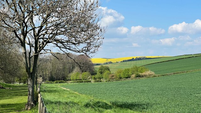
Combe Bottom is characterized by its lush green meadows, dense woodlands, and a gentle stream that runs through its heart. The valley is flanked by towering hills on either side, creating a sense of seclusion and tranquility. The diverse flora and fauna that thrive in this area make it a haven for nature enthusiasts and wildlife lovers.
The valley is popular among hikers, walkers, and cyclists due to its extensive network of well-maintained trails. These pathways wind through the valley, offering breathtaking views of the surrounding countryside. Visitors can explore the area at their own pace, immersing themselves in its natural splendor.
In addition to its natural beauty, Combe Bottom also boasts a rich historical heritage. The valley is home to several ancient burial mounds and archaeological sites, providing insights into the area's past. These historical landmarks attract history buffs and researchers keen to uncover the secrets of this ancient landscape.
Combe Bottom is a hidden gem in the Sussex countryside, offering a peaceful retreat from the hustle and bustle of modern life. Whether it's for a leisurely stroll, a picnic amidst nature, or a journey into the past, this valley has something to offer everyone who ventures into its embrace.
If you have any feedback on the listing, please let us know in the comments section below.
Combe Bottom Images
Images are sourced within 2km of 50.770269/0.15684892 or Grid Reference TV5298. Thanks to Geograph Open Source API. All images are credited.


Combe Bottom is located at Grid Ref: TV5298 (Lat: 50.770269, Lng: 0.15684892)
Administrative County: East Sussex
District: Wealden
Police Authority: Sussex
What 3 Words
///companies.lecturing.pausing. Near Friston, East Sussex
Nearby Locations
Related Wikis

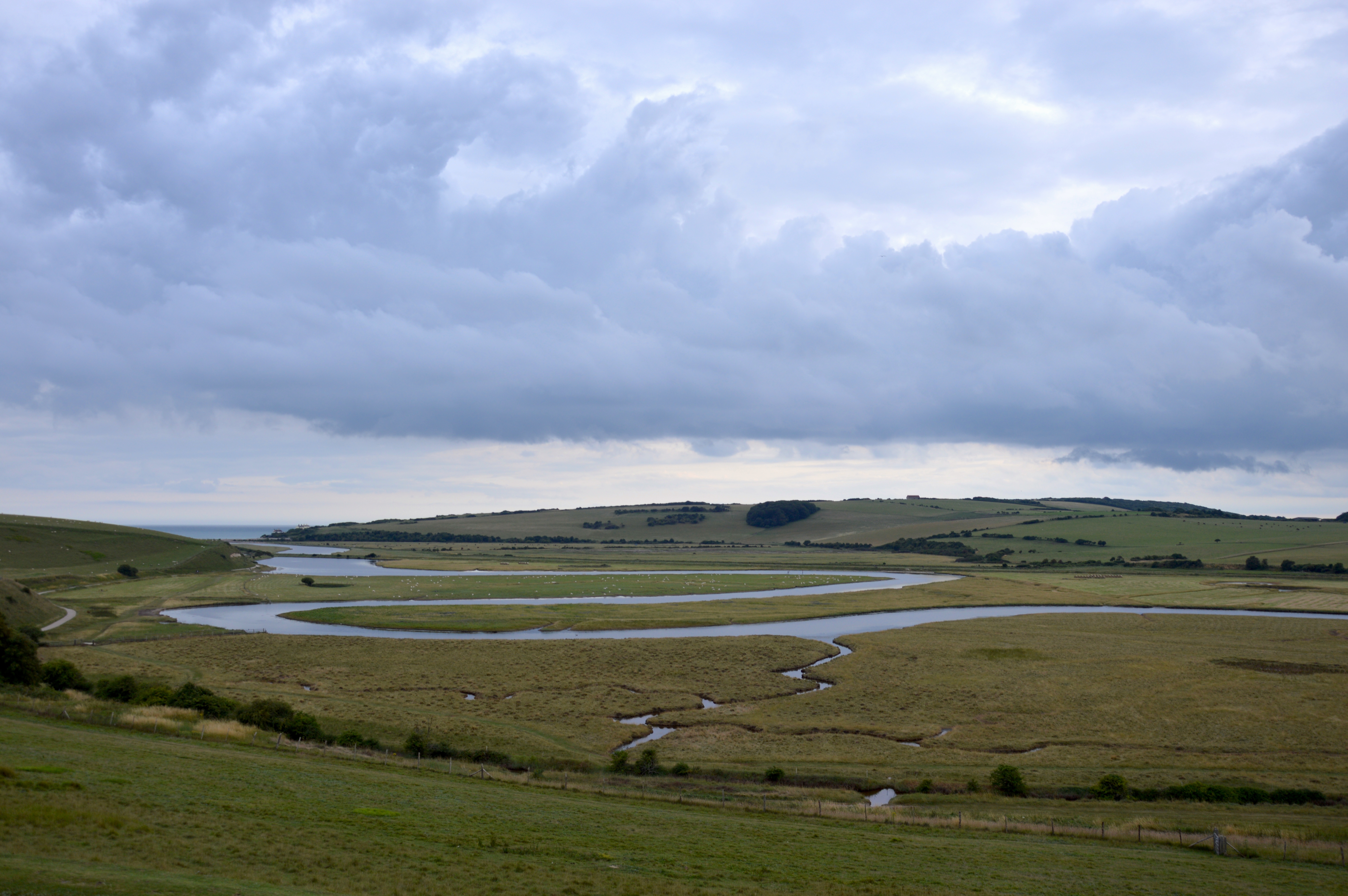
Cuckmere Haven
Cuckmere Haven (also known as the Cuckmere estuary) is an area of flood plains in Sussex, England, where the river Cuckmere meets the English Channel between...

RAF Friston
Royal Air Force Friston or more simply RAF Friston is a former Royal Air Force satellite station and Emergency Landing Ground located in East Sussex, England...
Seven Sisters, East Sussex
The Seven Sisters are a series of chalk sea cliffs on the English Channel coast, and are a stretch of the sea-eroded section of the South Downs range of...

Friston Forest
Friston Forest is a forest, located between Seaford and Eastbourne in East Sussex. It is part of the South Downs National Park area. The forest is managed...
River Cuckmere
The River Cuckmere rises near Heathfield in East Sussex, England on the southern slopes of the Weald. The name of the river probably comes from an Old...

Seaford Head
Seaford Head is a 150.2-hectare (371-acre) Local Nature Reserve east of Seaford in East Sussex. It is part of Seaford to Beachy Head Site of Special Scientific...
Ladycross School
Ladycross was a Catholic preparatory school in Seaford, East Sussex. It was founded in 1891 in Briely Road, Bournemouth, and moved to a purpose-built school...

Litlington White Horse
The Litlington White Horse is a chalk hill figure depicting a horse, situated on Hindover Hill (known locally as High-and-Over) in the South Downs, looking...
Nearby Amenities
Located within 500m of 50.770269,0.15684892Have you been to Combe Bottom?
Leave your review of Combe Bottom below (or comments, questions and feedback).