Well Vale
Valley in Lincolnshire East Lindsey
England
Well Vale
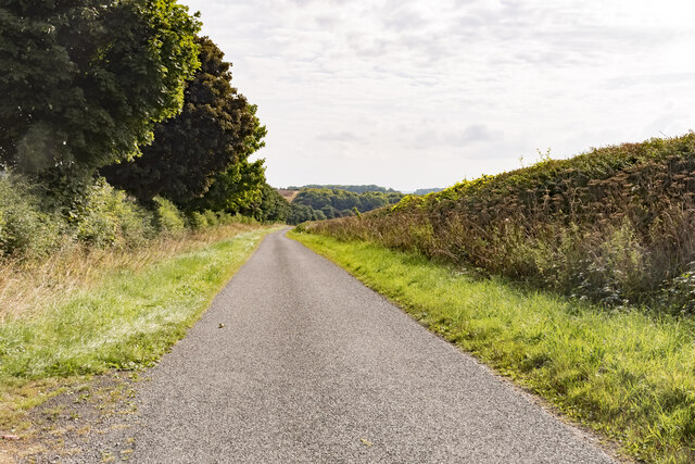
Well Vale is a picturesque valley located in the county of Lincolnshire, England. Situated between the picturesque villages of South Kelsey and North Kelsey, it is renowned for its natural beauty and tranquil surroundings. The valley is surrounded by rolling green hills and dotted with charming cottages, creating a serene and idyllic atmosphere.
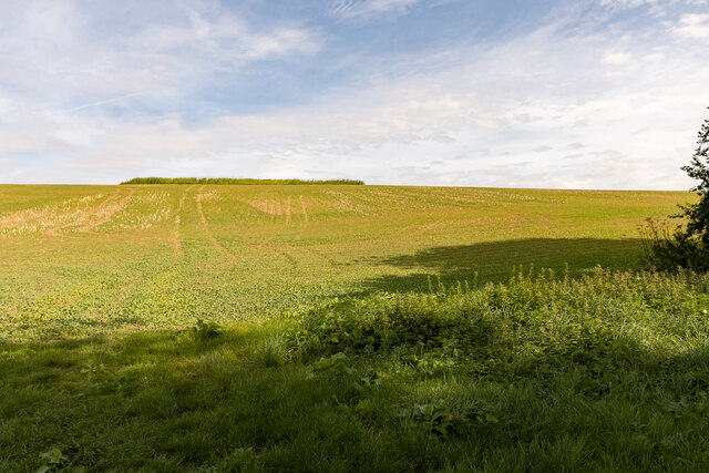
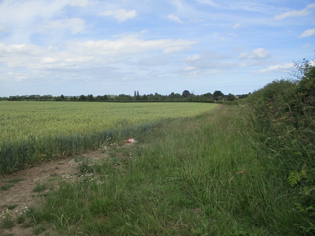
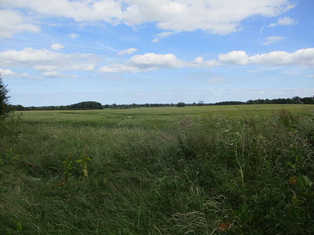
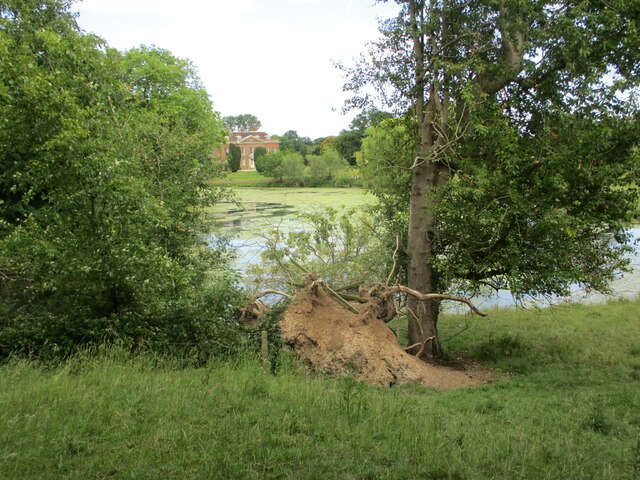
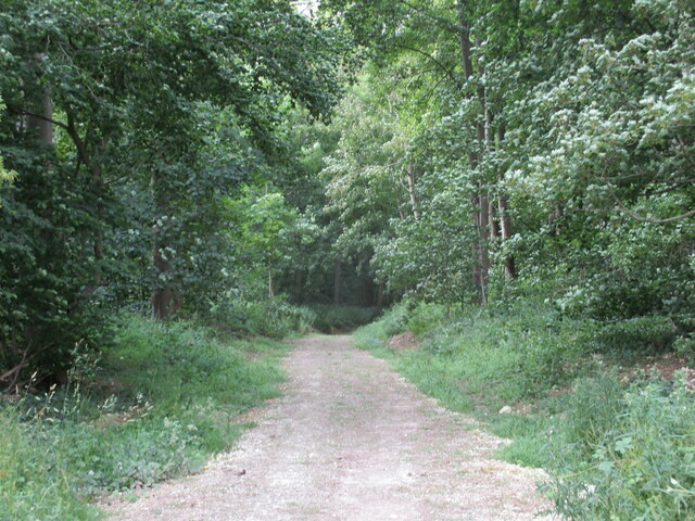
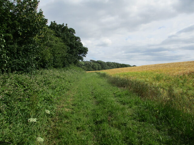
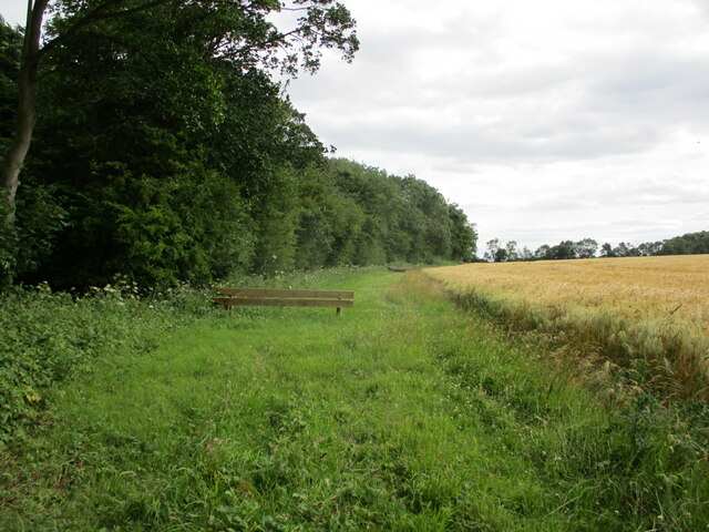
One of the main attractions of Well Vale is its stunning landscape. The valley is home to a diverse range of flora and fauna, with wildflowers, ancient woodlands, and meandering streams. The rich biodiversity attracts nature enthusiasts and birdwatchers, who can spot a variety of bird species in the area.
The valley also boasts historical significance. It is believed to have been settled since the Roman times, with evidence of Roman pottery and coins found in the vicinity. The nearby All Saints Church, a Grade I listed building, dates back to the 12th century and is a testament to the area's rich history.
Visitors to Well Vale can explore the valley through various walking trails, offering breathtaking views and a chance to immerse themselves in nature. The picturesque villages of South Kelsey and North Kelsey are also worth a visit, with charming pubs, quaint shops, and friendly locals.
Overall, Well Vale is a hidden gem in Lincolnshire, offering a peaceful retreat and a chance to reconnect with nature. Its natural beauty, historical significance, and welcoming atmosphere make it a must-visit destination for nature lovers and history enthusiasts alike.
If you have any feedback on the listing, please let us know in the comments section below.
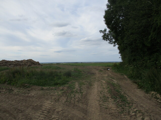
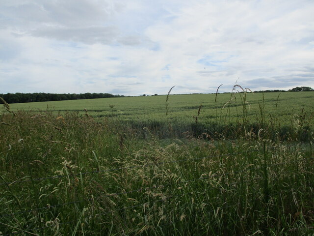
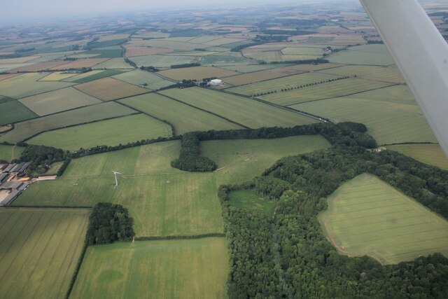
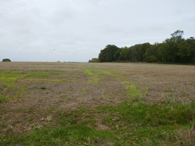
Well Vale Images
Images are sourced within 2km of 53.241152/0.14644615 or Grid Reference TF4373. Thanks to Geograph Open Source API. All images are credited.


Well Vale is located at Grid Ref: TF4373 (Lat: 53.241152, Lng: 0.14644615)
Administrative County: Lincolnshire
District: East Lindsey
Police Authority: Lincolnshire
What 3 Words
///spenders.twirls.defended. Near Alford, Lincolnshire
Nearby Locations
Related Wikis

Miles Cross Hill
Miles Cross Hill is a large hill that is the sloping gradient up to the landscape of the Lincolnshire Wolds. As it is the first large hill of the Wolds...

Well, Lincolnshire
Well is a small estate village and civil parish about 1.5 miles (2.4 km) south of the town of Alford, in the East Lindsey district of Lincolnshire, England...
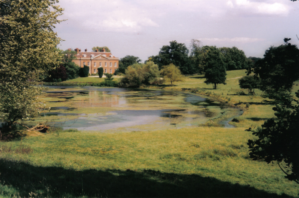
Well Hall, Lincolnshire
Well Hall (or Wellvale Hall) is a country house within the civil parish and estate village of Well, Lincolnshire, England. The house itself is Grade II...

Ulceby with Fordington
Ulceby with Fordington is a civil parish in the East Lindsey district of Lincolnshire, England. The parish is situated 27 miles (43 km) east from the city...
Ulceby, East Lindsey
Ulceby is a village in the East Lindsey district of Lincolnshire in England. It is situated next to the A1028 road, 11 miles (18 km) east from Horncastle...

Rigsby, Lincolnshire
Rigsby is a village and part of the civil parish of Rigsby with Ailby, in the East Lindsey district of Lincolnshire, England. It is situated approximately...
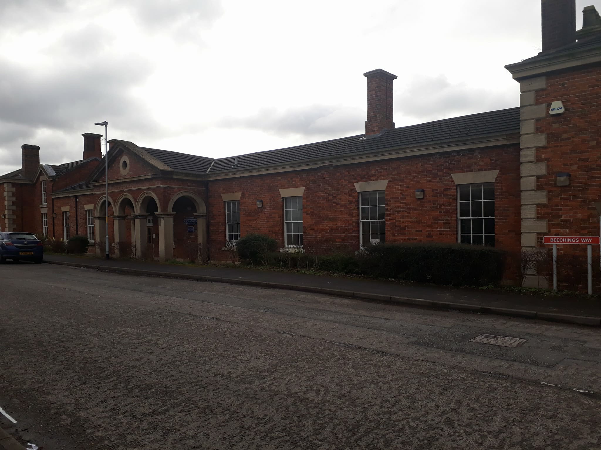
Alford Town railway station
Alford Town was a railway station on the East Lincolnshire Railway which served the town of Alford in Lincolnshire between 1848 and 1970. It originally...
Queen Elizabeth's Grammar School, Alford
Queen Elizabeth's Grammar School, Alford (QEGS) is a selective, co-educational, academy status Grammar School and Sixth Form in Alford, Lincolnshire, England...
Nearby Amenities
Located within 500m of 53.241152,0.14644615Have you been to Well Vale?
Leave your review of Well Vale below (or comments, questions and feedback).