Bannings Bottom
Valley in Sussex Lewes
England
Bannings Bottom
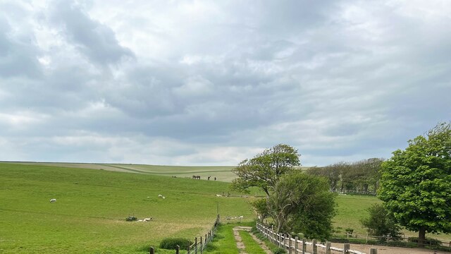
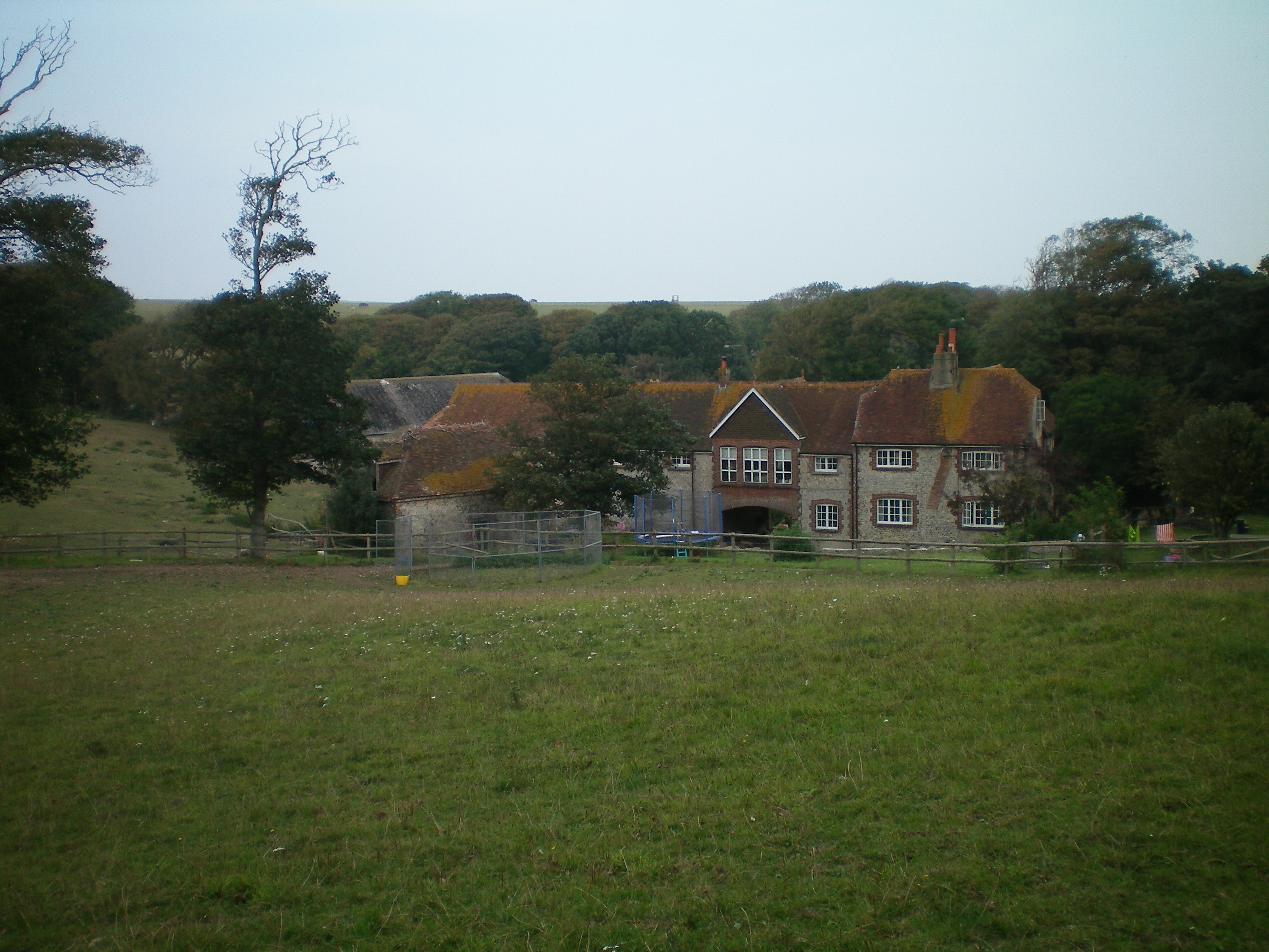
Bannings Bottom is a picturesque valley located in Sussex, England. Nestled amidst the rolling hills of the South Downs, this idyllic countryside setting offers visitors a tranquil escape from the bustle of city life.
The valley is known for its lush green meadows, dense woodlands, and meandering streams that add to its natural charm. The area is renowned for its diverse wildlife, making it a popular destination for nature enthusiasts and birdwatchers. Visitors might spot a variety of bird species, including woodpeckers, kingfishers, and owls, as well as deer and other woodland creatures.
Bannings Bottom is also rich in history and heritage. The valley is home to several ancient monuments, including a Neolithic burial mound and Iron Age earthworks, which offer a glimpse into the area's ancient past. Additionally, remnants of a Roman road can still be found in some parts of the valley, highlighting its historical significance.
For those looking to explore the area, Bannings Bottom offers a network of walking trails and footpaths that wind through its picturesque landscapes. These trails provide breathtaking views of the surrounding countryside and are perfect for leisurely strolls or more adventurous hikes. Additionally, the valley is within easy reach of nearby villages and towns, offering visitors the opportunity to discover charming local pubs, quaint shops, and traditional English architecture.
Overall, Bannings Bottom is a hidden gem in Sussex, offering visitors a harmonious blend of natural beauty, historical intrigue, and a chance to experience the peacefulness of the English countryside.
If you have any feedback on the listing, please let us know in the comments section below.
Bannings Bottom Images
Images are sourced within 2km of 50.801954/-0.026490136 or Grid Reference TQ3902. Thanks to Geograph Open Source API. All images are credited.


Bannings Bottom is located at Grid Ref: TQ3902 (Lat: 50.801954, Lng: -0.026490136)
Administrative County: East Sussex
District: Lewes
Police Authority: Sussex
What 3 Words
///adjusted.restores.bronzes. Near Peacehaven, East Sussex
Nearby Locations
Related Wikis
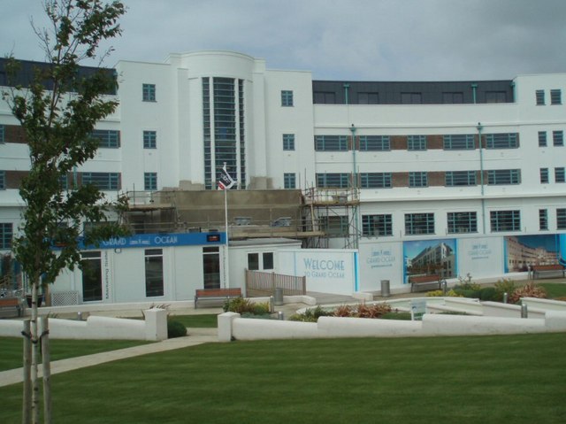
Grand Ocean, Saltdean
Grand Ocean is a restored 1938 hotel building in Saltdean, Brighton, on the south coast of England. == History == Grand Ocean was designed by architect...
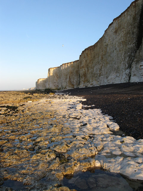
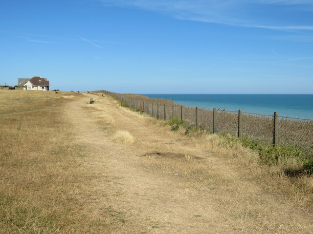
Brighton to Newhaven Cliffs
Brighton to Newhaven Cliffs is a 165.4-hectare (409-acre) biological and geological Site of Special Scientific Interest and Geological Conservation Review...

Saltdean
Saltdean is a coastal village in the city of Brighton and Hove, with part (known as East Saltdean) outside the city boundary in Lewes district. Saltdean...

Saltdean Lido
Saltdean Lido at Saltdean Park Road, Saltdean, in the city of Brighton and Hove, in the ceremonial county of East Sussex, England, is an Art Deco lido...
Telscombe
Telscombe is a town and civil parish in the Lewes District of East Sussex, England. It consists of three distinct settlements, separated from each other...

Saltdean United F.C.
Saltdean United Football Club is a football club based in Saltdean in the city of Brighton & Hove on the south coast of England. They are currently members...
Peacehaven
Peacehaven is a town and civil parish in the Lewes district of East Sussex, England. It is located above the chalk cliffs of the South Downs approximately...
Peacehaven Community School
Peacehaven Community School is a mixed secondary school for 11 to 16-year-olds in Peacehaven, East Sussex in the United Kingdom. The school was opened...
Nearby Amenities
Located within 500m of 50.801954,-0.026490136Have you been to Bannings Bottom?
Leave your review of Bannings Bottom below (or comments, questions and feedback).