Ashcombe Bottom

Valley in Sussex Lewes

England

Ashcombe Bottom

Plumpton Bostall The footpath descends from the top of the South Downs towards the village of Plumpton.
Plumpton Bostall Credit: Malc McDonald

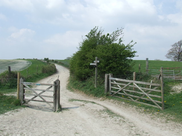
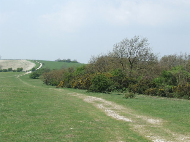
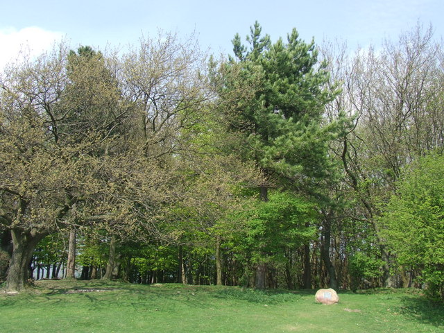
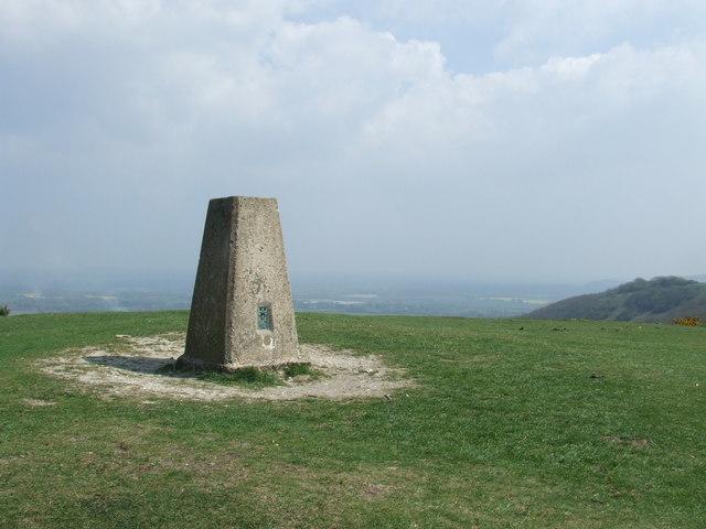
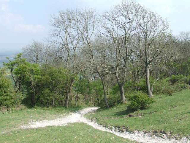
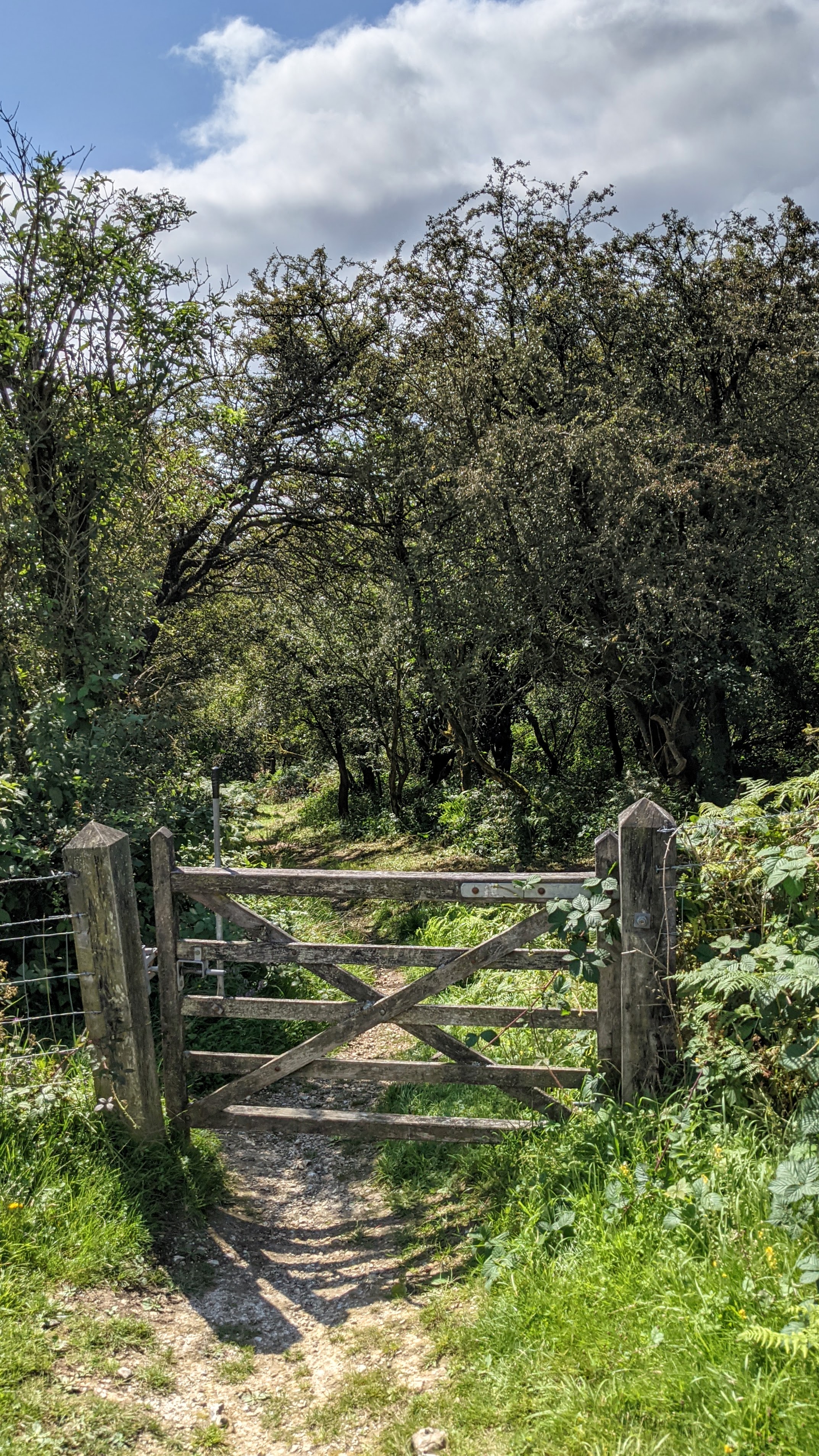
Ashcombe Bottom is a picturesque valley located in Sussex, England. It is nestled in the South Downs National Park, renowned for its stunning natural beauty and diverse wildlife. The valley is characterized by rolling hills, lush green meadows, and dense woodlands, making it a popular destination for nature lovers and hikers.

Ashcombe Bottom is home to a variety of plant and animal species, including rare orchids, butterflies, and birds. The valley is also dotted with charming cottages and farmhouses, adding to its rural charm.

Visitors to Ashcombe Bottom can explore a network of walking trails that wind through the valley, offering breathtaking views of the surrounding countryside. The valley is also a great spot for picnicking, wildlife spotting, and photography.

In addition to its natural beauty, Ashcombe Bottom has a rich history dating back to Roman times. Archaeological remains have been discovered in the area, providing insights into the valley's past.

Overall, Ashcombe Bottom is a tranquil and idyllic spot in the heart of Sussex, offering a peaceful escape from the hustle and bustle of modern life.

If you have any feedback on the listing, please let us know in the comments section below.

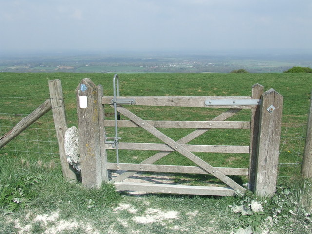
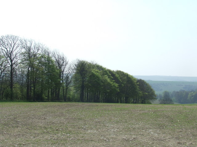
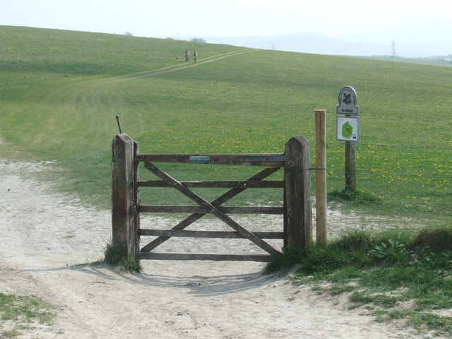
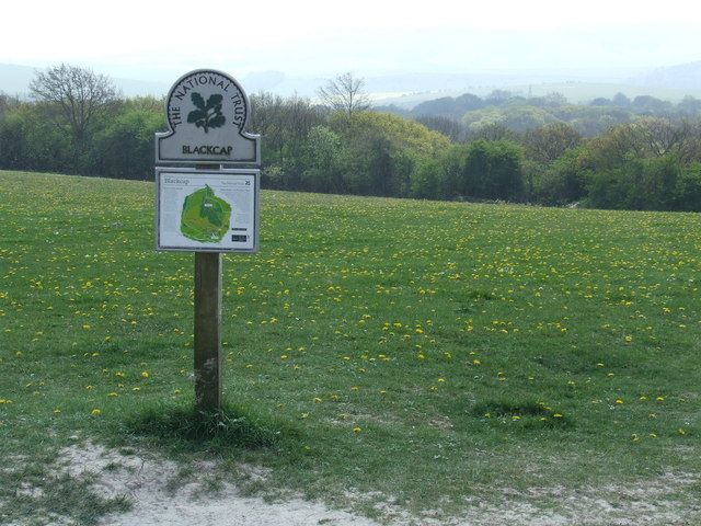
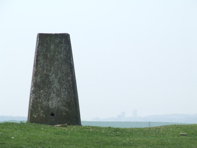
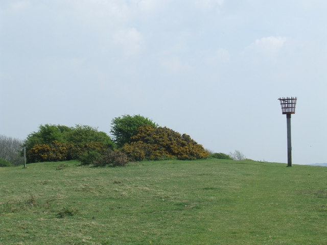
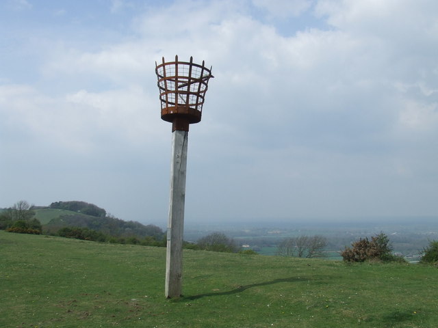
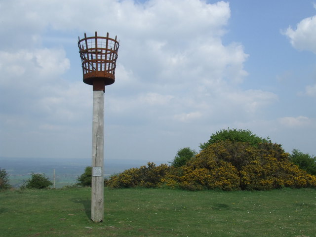
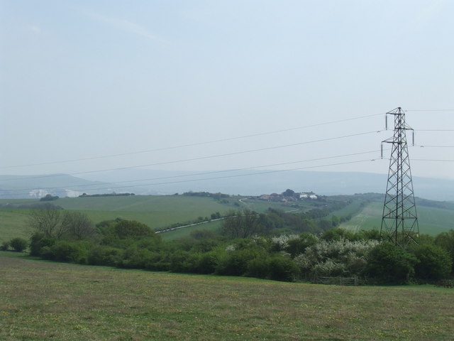
Ashcombe Bottom Images

Images are sourced within 2km of 50.890344/-0.048535566 or Grid Reference TQ3711. Thanks to Geograph Open Source API. All images are credited.

Plumpton Bostall The footpath descends from the top of the South Downs towards the village of Plumpton.
Plumpton Bostall
The footpath descends from the top of the South Downs towards the village of Plumpton.
Plumpton Plain View along Plumpton Plain on the South Downs ridge.
Plumpton Plain
View along Plumpton Plain on the South Downs ridge.
Track on Plumpton Plain A track on Plumpton Plain, on the top of the South Downs ridge.
Track on Plumpton Plain
A track on Plumpton Plain, on the top of the South Downs ridge.
Footpath on Plumpton Plain A public footpath passes through this gate on Plumpton Plain, on the South Downs.
Footpath on Plumpton Plain
A public footpath passes through this gate on Plumpton Plain, on the South Downs.
Trees on Plumpton Plain Trees on the South Downs.
Trees on Plumpton Plain
Trees on the South Downs.
South Downs Way at Blackcap
South Downs at Blackcap Blackcap is an area of the South Downs which is managed by the National Trust.
South Downs at Blackcap
Blackcap is an area of the South Downs which is managed by the National Trust.
Footpath junction at Blackcap Several footpaths converge on this junction, at Blackcap on the South Downs.  The South Downs Way changes direction here, approaching along the path straight ahead but turning down the track to the left, behind the gate.
Footpath junction at Blackcap
Several footpaths converge on this junction, at Blackcap on the South Downs. The South Downs Way changes direction here, approaching along the path straight ahead but turning down the track to the left, behind the gate.
Footpath near Blackcap A public footpath on the South Downs, at Blackcap.
Footpath near Blackcap
A public footpath on the South Downs, at Blackcap.
Blackcap, South Downs
Triangulation point at Blackcap The pillar marks the triangulation point at Blackcap on the South Downs.
Triangulation point at Blackcap
The pillar marks the triangulation point at Blackcap on the South Downs.
Triangulation point at Blackcap A triangulation point on the South Downs at Blackcap.  Just visible in the distance are high-rise buildings in Brighton.
Triangulation point at Blackcap
A triangulation point on the South Downs at Blackcap. Just visible in the distance are high-rise buildings in Brighton.
Path at Blackcap, South Downs
Mount Harry, South Downs A beacon has been installed at the summit of Mount Harry, on the South Downs.
Mount Harry, South Downs
A beacon has been installed at the summit of Mount Harry, on the South Downs.
Mount Harry beacon, South Downs A fire beacon at the top of Mount Harry on the South Downs.
Mount Harry beacon, South Downs
A fire beacon at the top of Mount Harry on the South Downs.
Mount Harry beacon, South Downs Just visible in the distance, to the right of the beacon, are cliffs in the hillside near Lewes.
Mount Harry beacon, South Downs
Just visible in the distance, to the right of the beacon, are cliffs in the hillside near Lewes.
Mount Harry beacon, South Downs This beacon stands at the top of Mount Harry on the South Downs, nearly 200 metres above sea level.
Mount Harry beacon, South Downs
This beacon stands at the top of Mount Harry on the South Downs, nearly 200 metres above sea level.
South Downs near Lewes A view from near Mount Harry, looking towards Lewes.
South Downs near Lewes
A view from near Mount Harry, looking towards Lewes.
Show me another place!

Ashcombe Bottom is located at Grid Ref: TQ3711 (Lat: 50.890344, Lng: -0.048535566)

Administrative County: East Sussex

District: Lewes

Police Authority: Sussex

What 3 Words

///diggers.signified.reworked. Near Lewes, East Sussex

Nearby Locations

Ashcombe Bottom

Related Wikis

Ashcombe Bottom

Ashcombe Bottom (TQ 373 119) is a 66 hectares (160 acres) woodland valley owned by the National Trust that runs south from Blackcap, East Sussex, England...

Blackcap, East Sussex

Blackcap is a hill and nature reserve in East Sussex, England. It is on a peak of the South Downs, just south east of Plumpton and west of Lewes. The flatter...

Lewes Speed Trials

The Lewes Speed Trials were speed trials held on a defunct course in Lewes, Sussex, England, sometimes known as "The Motor Road." == History == The first...

The Laines

The Laines is an 18th-century country house in Plumpton, East Sussex, near Lewes in England. It was the childhood home of Queen Camilla. The centre part...

Nearby Amenities

Located within 500m of 50.890344,-0.048535566
Power: tower
Lat/Long: 50.8889906/-0.0420294
Power: tower
Lat/Long: 50.8878224/-0.0508866
Power: tower
Lat/Long: 50.8881373/-0.048312
Power: tower
Source: bing
Lat/Long: 50.887487/-0.0534578
Designation: public_bridleway
Prow Ref: St John Without BR 25
Lat/Long: 50.8921875/-0.0512814
The data included in this document is from www.openstreetmap.org. The data is made available under ODbL.

Have you been to Ashcombe Bottom?

Leave your review of Ashcombe Bottom below (or comments, questions and feedback).