Sheepcote Valley
Valley in Sussex
England
Sheepcote Valley
Sheepcote Valley is a picturesque valley located in Sussex, England. Situated on the outskirts of the vibrant city of Brighton, this valley offers a stunning natural landscape that attracts both locals and tourists alike.
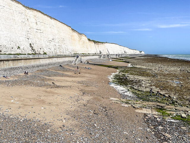
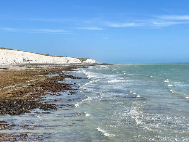
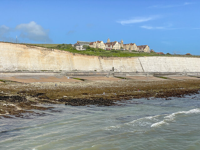
The valley is characterized by its rolling hills, lush green meadows, and a small river that meanders through its heart. It covers an area of approximately 100 hectares and is surrounded by the South Downs National Park, which further enhances its beauty and tranquility.
Sheepcote Valley is renowned for its rich biodiversity and serves as an important habitat for various plant and animal species. The valley is home to a diverse range of flora, including wildflowers, grasses, and ancient woodland. It also supports a variety of bird species, such as skylarks, meadow pipits, and stonechats, making it a haven for birdwatchers.
The valley's natural charm and scenic beauty make it an ideal spot for outdoor activities. Visitors can enjoy leisurely walks and hiking trails that meander through the valley, offering breathtaking views of the surrounding countryside. The valley is also a popular destination for cycling enthusiasts, with well-maintained paths catering to all skill levels.
Additionally, Sheepcote Valley is used for various recreational purposes, including sports fields and golf courses. The valley hosts local sports events and tournaments, attracting athletes and spectators from all over the region.
Overall, Sheepcote Valley is a hidden gem in Sussex, offering a peaceful retreat from the bustling city life while providing ample opportunities for nature exploration and outdoor recreation.
If you have any feedback on the listing, please let us know in the comments section below.
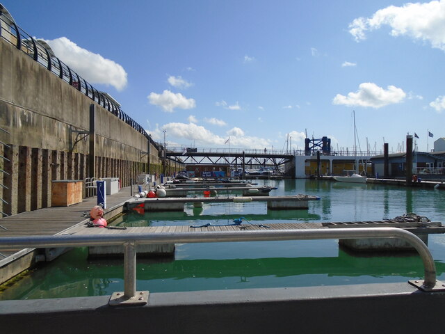
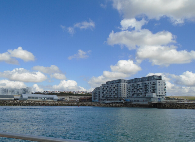
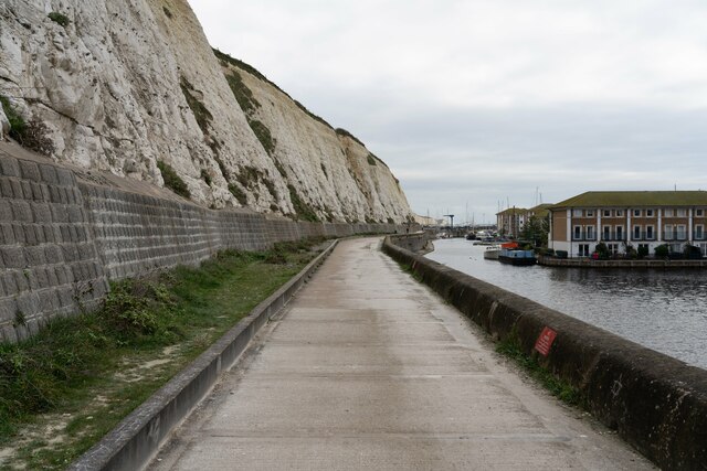
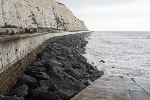
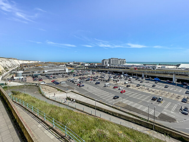
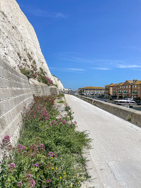
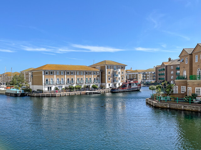
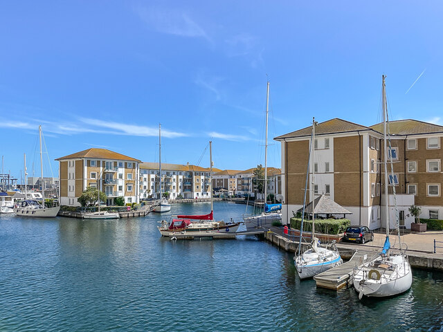
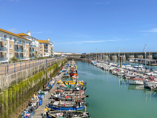
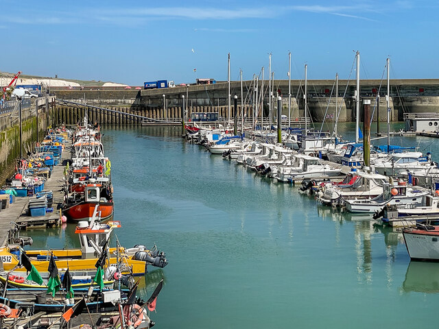
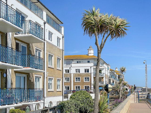
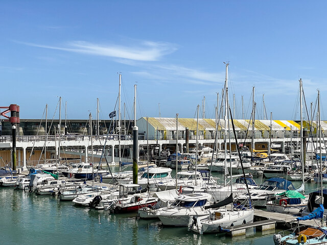
Sheepcote Valley Images
Images are sourced within 2km of 50.82665/-0.096318888 or Grid Reference TQ3404. Thanks to Geograph Open Source API. All images are credited.


Sheepcote Valley is located at Grid Ref: TQ3404 (Lat: 50.82665, Lng: -0.096318888)
Unitary Authority: Brighton and Hove
Police Authority: Sussex
What 3 Words
///saves.fears.card. Near Brighton, East Sussex
Nearby Locations
Related Wikis

Whitehawk F.C.
Whitehawk Football Club is a semi-professional English football club based in Whitehawk, a suburb of the city of Brighton and Hove, The club currently...
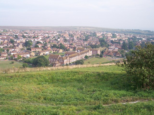
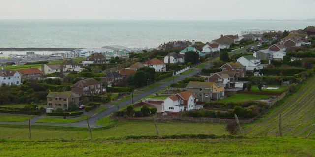
Whitehawk
Whitehawk is a suburb in the east of Brighton, England, south of Bevendean and north of Brighton Marina. The area is a large, modern housing estate built...
Whitehawk Hill
Whitehawk Hill is a 50.3-hectare (124-acre) Local Nature Reserve in Brighton, East Sussex. It is owned and managed by Brighton and Hove City Council.At...
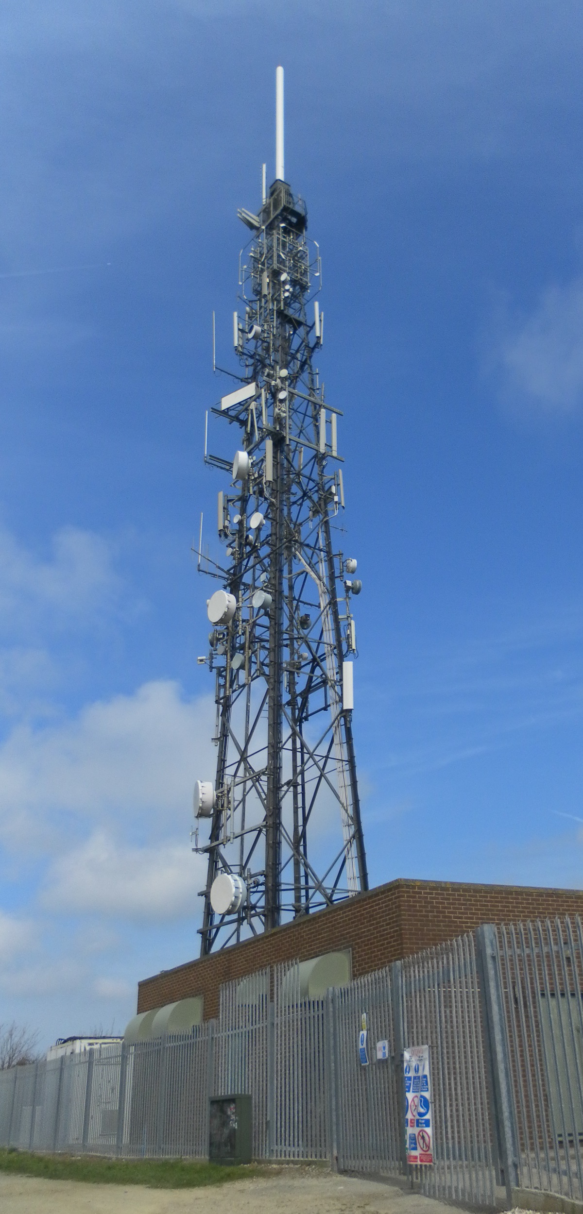
Whitehawk Hill transmitting station
The Whitehawk Hill transmitting station (also known as the Whitehawk transmitting station) is a broadcasting and telecommunications facility located at...
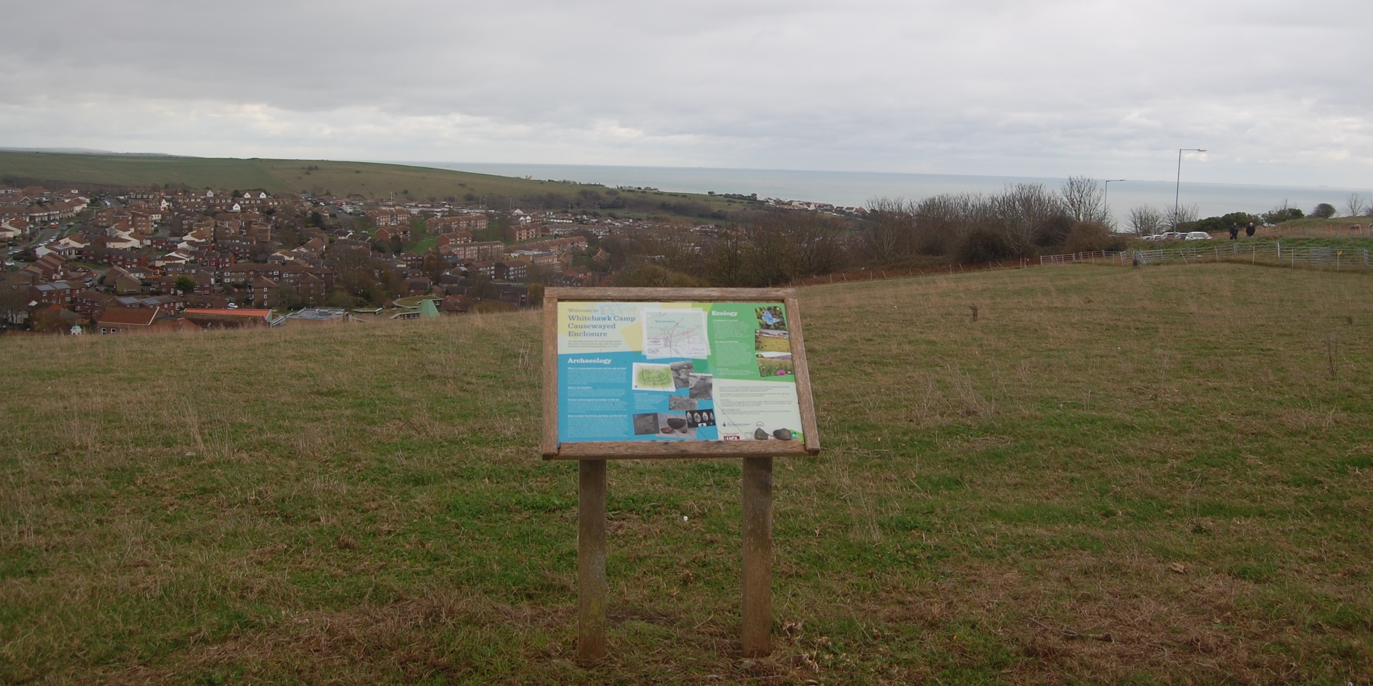
Whitehawk Camp
Whitehawk Camp is the remains of a causewayed enclosure on Whitehawk Hill near Brighton, East Sussex, England. Causewayed enclosures are a form of early...

East Brighton Park
East Brighton Park is located on the eastern edge of the city of Brighton and Hove, England. Bounded by Wilson Avenue and East Brighton golf course, the...
Roedean
Roedean is a village in the city of Brighton and Hove, England, UK, east of the seaside resort of Brighton. == Notable buildings and areas == Roedean Gap...
Woodingdean Water Well
The Woodingdean Water Well is the deepest hand-dug well in the world, at 390 metres (1,280 ft) deep. It was dug to provide water for a workhouse. Work...
Nearby Amenities
Located within 500m of 50.82665,-0.096318888Have you been to Sheepcote Valley?
Leave your review of Sheepcote Valley below (or comments, questions and feedback).