Hogtrough Bottom
Valley in Sussex
England
Hogtrough Bottom
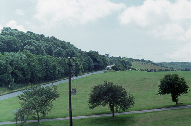
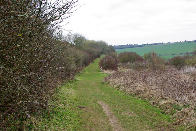
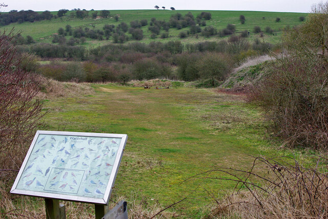
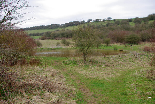
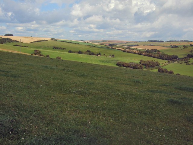
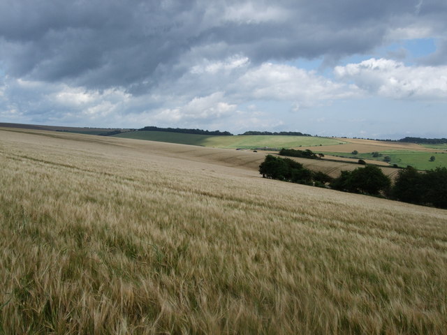
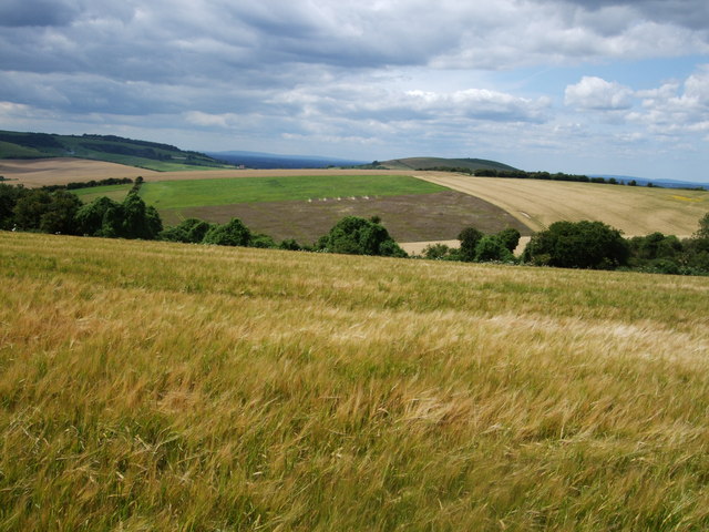
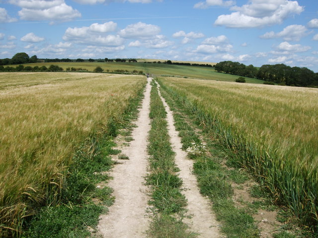
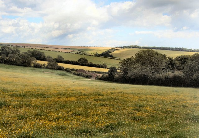
Hogtrough Bottom is a picturesque valley located in the county of Sussex, England. Situated amidst rolling hills and lush greenery, this tranquil area is known for its natural beauty and charming rural atmosphere. The valley gets its unique name from the historical presence of hog farming in the region, as "hogtrough" refers to a feeding trough for pigs.
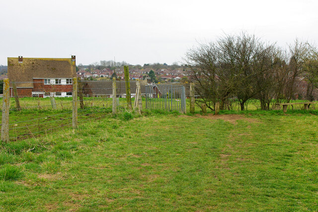
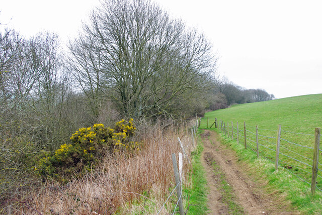
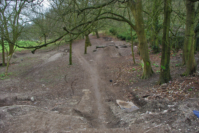
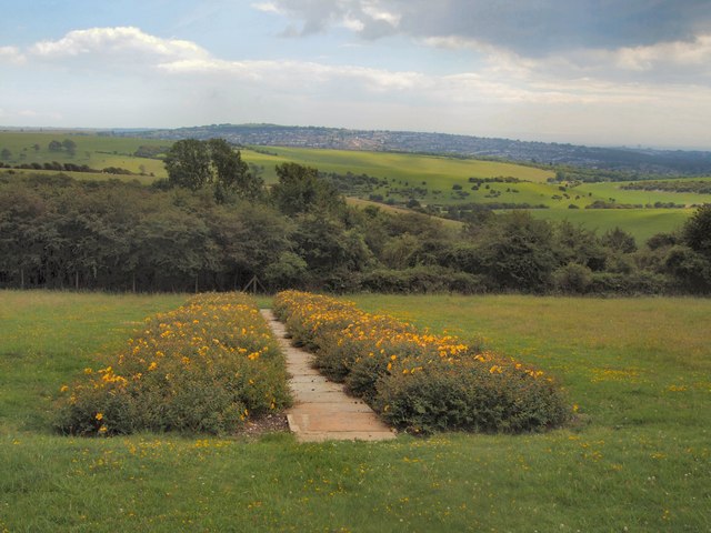
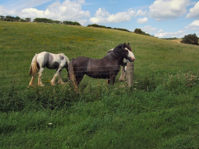
Blessed with breathtaking landscapes, Hogtrough Bottom offers a diverse range of flora and fauna, making it a haven for nature lovers and wildlife enthusiasts. The valley is adorned with ancient woodlands, wildflower meadows, and babbling brooks that add to its enchanting appeal. Visitors often find solace in the peaceful surroundings, making it an ideal destination for hiking, picnicking, or simply enjoying a leisurely stroll.
In addition to its natural splendor, Hogtrough Bottom boasts a rich history. The area has been inhabited for centuries, with evidence of human presence dating back to prehistoric times. Remnants of ancient settlements, burial mounds, and Roman artifacts have been discovered in and around the valley, adding an intriguing historical element to the region.
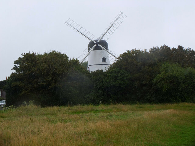
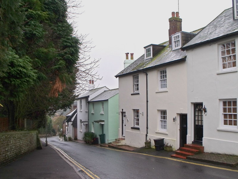
Although primarily rural, Hogtrough Bottom is not entirely secluded. There are a few small villages scattered throughout the valley, each offering a glimpse into traditional Sussex life. These quaint settlements often feature charming cottages, local pubs, and small shops, providing a sense of community to both residents and visitors.
Overall, Hogtrough Bottom in Sussex offers a serene escape from bustling city life, welcoming visitors with its natural beauty, rich history, and idyllic countryside ambiance.
If you have any feedback on the listing, please let us know in the comments section below.
Hogtrough Bottom Images
Images are sourced within 2km of 50.880114/-0.15895026 or Grid Reference TQ2910. Thanks to Geograph Open Source API. All images are credited.
Hogtrough Bottom is located at Grid Ref: TQ2910 (Lat: 50.880114, Lng: -0.15895026)
Unitary Authority: Brighton and Hove
Police Authority: Sussex
What 3 Words
///imperious.torn.stuffy. Near Ditchling, East Sussex
Nearby Locations
Related Wikis

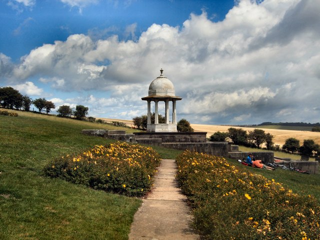
Patcham Pylon
The Patcham Pylon is a monumental gateway erected in 1928 near Patcham in East Sussex, England. Designed by local architect John Leopold Denman and paid...

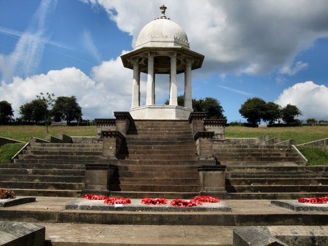
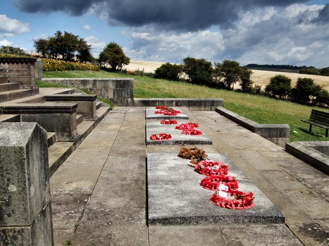
Chattri, Brighton
The Chattri is a war memorial in the English city of Brighton and Hove. It is sited 500 feet (150 m) above the city on the South Downs above the suburb...

All Saints Church, Patcham
All Saints Church is the Anglican parish church of Patcham, an ancient Sussex village which is now part of the English city of Brighton and Hove. A place...

Patcham Place
Patcham Place is a mansion in the ancient village of Patcham, now part of the English city of Brighton and Hove. Built in 1558 as part of the Patcham...

Patcham Tunnel
Patcham Tunnel (or Compulsory Tunnel) is a railway tunnel on the Brighton Main Line through the South Downs between Preston Park and Hassocks in East Sussex...
Patcham
Patcham () is a suburb in the city of Brighton and Hove, in the ceremonial county of East Sussex, England. It is about 3 miles (5 km) north of the city...

Southdown House
Southdown House is a Grade II* listed building in Patcham, Brighton and Hove, England. It is a Georgian house made out of brick and flint, and is now situated...

Church of the Transfiguration, Pyecombe
The Church of the Transfiguration is the Church of England parish church of the village of Pyecombe, in the Mid Sussex District of West Sussex, England...
Nearby Amenities
Located within 500m of 50.880114,-0.15895026Have you been to Hogtrough Bottom?
Leave your review of Hogtrough Bottom below (or comments, questions and feedback).