Beechy Bottom

Valley in Sussex Mid Sussex

England

Beechy Bottom

View south from the High Weald Landscape Trail
View south from the High Weald Landscape Trail Credit: Ian Cunliffe

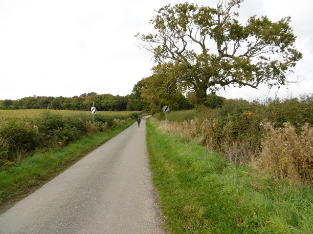
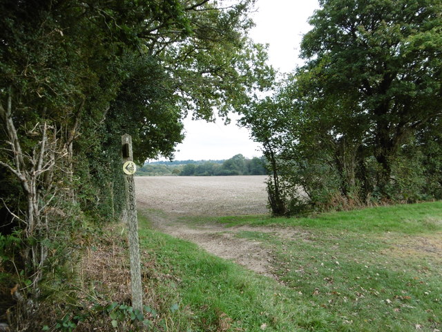
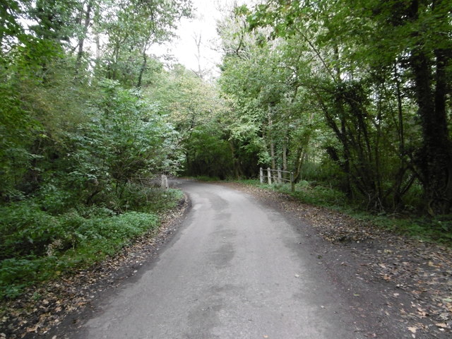
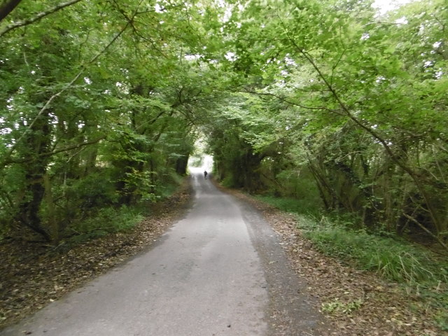
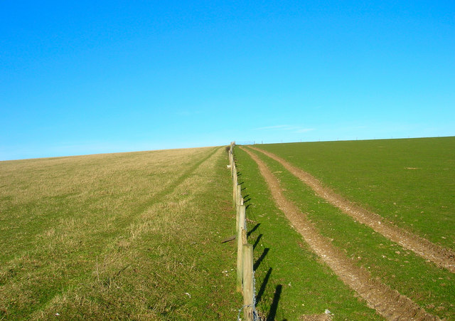
Beechy Bottom is a picturesque valley located in the county of Sussex, England. Nestled amidst rolling hills and lush greenery, this idyllic spot is renowned for its natural beauty and serene atmosphere. It is situated in the South Downs National Park, which adds to its appeal as a popular destination for nature lovers and outdoor enthusiasts.

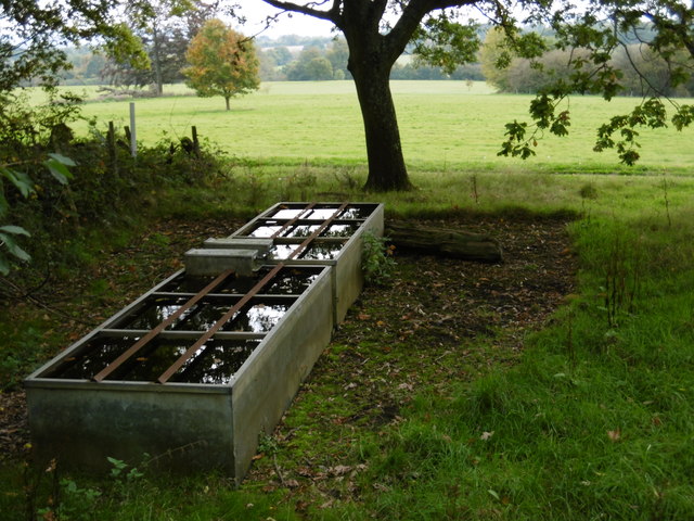
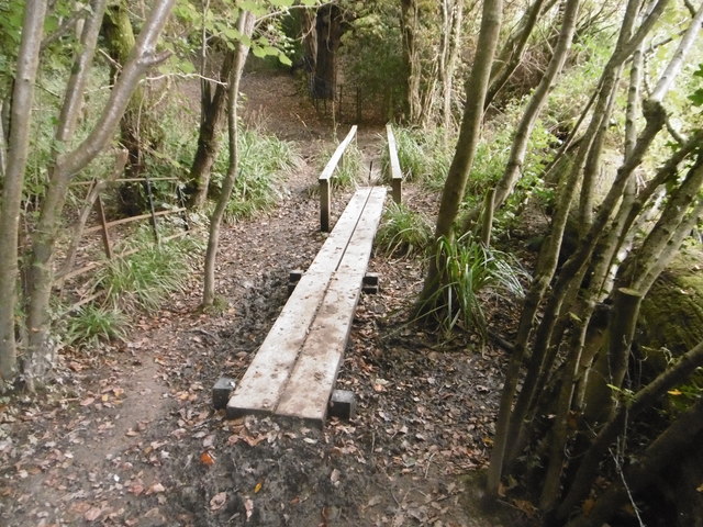
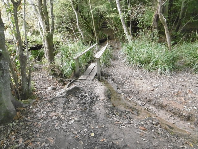
The valley is named after the Beechy River that meanders through its heart, providing a peaceful soundtrack to the surrounding landscape. The river is flanked by a variety of trees, including beech, oak, and willow, which further enhance the area's charm and provide a habitat for a diverse range of wildlife.

Visitors to Beechy Bottom can enjoy a multitude of recreational activities. The valley offers numerous walking and hiking trails that cater to all levels of fitness, allowing visitors to explore the area and take in breathtaking views of the surrounding countryside. The valley is also a haven for birdwatchers, with a wide array of species making their home in the area.

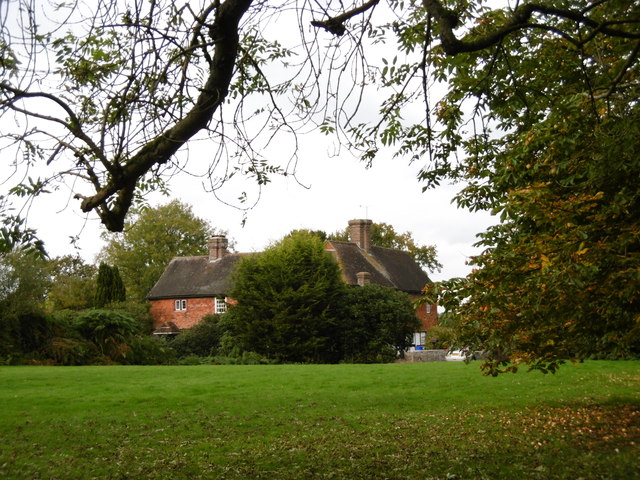
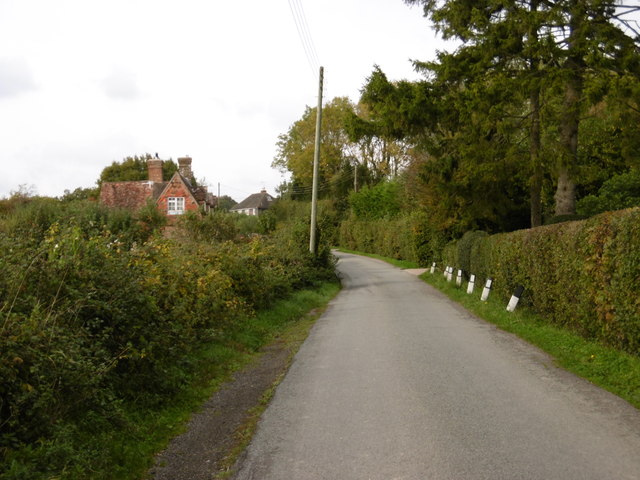
In addition to its natural attractions, Beechy Bottom is home to a small, close-knit community. The village nearby offers quaint shops, charming cafes, and traditional pubs, where visitors can enjoy a taste of local cuisine and hospitality.

Overall, Beechy Bottom is a hidden gem in the Sussex countryside, offering a peaceful retreat from the hustle and bustle of city life. Its stunning scenery, diverse wildlife, and welcoming community make it a must-visit destination for anyone seeking a tranquil escape in the heart of nature.

If you have any feedback on the listing, please let us know in the comments section below.

Beechy Bottom Images

Images are sourced within 2km of 51.010422/-0.1615075 or Grid Reference TQ2925. Thanks to Geograph Open Source API. All images are credited.

View south from the High Weald Landscape Trail
Broxmead Lodge - on Broxmead Lane
The village sign at Ansty Some relatively recent maps spell Ansty with an 'e' on the end.
The village sign at Ansty
Some relatively recent maps spell Ansty with an 'e' on the end.
Deak's Lane Westup Wood is in the distance.
Deak's Lane
Westup Wood is in the distance.
The High Weald Landscape Trail The High Weald Landscape Trail heads away from Deak's Lane here on its way through Cuckfield Park to Cuckfield.
The High Weald Landscape Trail
The High Weald Landscape Trail heads away from Deak's Lane here on its way through Cuckfield Park to Cuckfield.
Cuckfield Park Cuckfield Park was built in 1574. This view from the High Weald Landscape Trail to the west of Cuckfield looks across Cuckfield Park.
Cuckfield Park
Cuckfield Park was built in 1574. This view from the High Weald Landscape Trail to the west of Cuckfield looks across Cuckfield Park.
House to the east of Ansty This fine house is seen from a footpath leading east from Ansty to Furnace Wood.
House to the east of Ansty
This fine house is seen from a footpath leading east from Ansty to Furnace Wood.
The footpath turns left here It then turns right again just beyond the hedge on the left before heading to Furnace Wood in the distance.
The footpath turns left here
It then turns right again just beyond the hedge on the left before heading to Furnace Wood in the distance.
Deak's Lane This is just north of Ansty before countryside is reached.
Deak's Lane
This is just north of Ansty before countryside is reached.
Deak's Lane Deak's Lane crosses a stream here as it passes through Westup Wood.
Deak's Lane
Deak's Lane crosses a stream here as it passes through Westup Wood.
Deak's Lane passing through Westup Wood Pondtail Cottage is just ahead after leaving Westup Wood.
Deak's Lane passing through Westup Wood
Pondtail Cottage is just ahead after leaving Westup Wood.
Can cats contact the Feline Advisory Bureau? I love the idea of cats contacting the Feline Advisory Bureau for advice on diet etc. A bit like a while back seeing a cat on its own go through the door of a pet shop in Sheerness.

This sign is in Deak's Lane
Can cats contact the Feline Advisory Bureau?
I love the idea of cats contacting the Feline Advisory Bureau for advice on diet etc. A bit like a while back seeing a cat on its own go through the door of a pet shop in Sheerness. This sign is in Deak's Lane
Footbridge on the High Weald Landscape Trail This is where the High Weald Landscape Trail crosses a stream in Walks Wood.
Footbridge on the High Weald Landscape Trail
This is where the High Weald Landscape Trail crosses a stream in Walks Wood.
Footbridge in Cuckfield Park Cuckfield Park was built in 1574. This is where the High Weald Landscape Trail crosses a stream in New England Wood. The stream opens out to form the lake in Cuckfield Park just to the right of the footbridge.
Footbridge in Cuckfield Park
Cuckfield Park was built in 1574. This is where the High Weald Landscape Trail crosses a stream in New England Wood. The stream opens out to form the lake in Cuckfield Park just to the right of the footbridge.
Footbridge in Cuckfield Park Cuckfield Park was built in 1574. This is where the High Weald Landscape Trail crosses a stream in New England Wood. The stream opens out to form the lake in Cuckfield Park just to the left of the footbridge.
Footbridge in Cuckfield Park
Cuckfield Park was built in 1574. This is where the High Weald Landscape Trail crosses a stream in New England Wood. The stream opens out to form the lake in Cuckfield Park just to the left of the footbridge.
Veteran Car, Hammer Hill, West Sussex The cars struggle to get up this hill.
Veteran Car, Hammer Hill, West Sussex
The cars struggle to get up this hill.
Veteran Cars, Hammer Hill, West Sussex The cars struggle to get up this hill.
Veteran Cars, Hammer Hill, West Sussex
The cars struggle to get up this hill.
Veteran Cars, Hammer Hill, West Sussex The cars struggle to get up this hill.
Veteran Cars, Hammer Hill, West Sussex
The cars struggle to get up this hill.
Show me another place!

Beechy Bottom is located at Grid Ref: TQ2925 (Lat: 51.010422, Lng: -0.1615075)

Administrative County: West Sussex

District: Mid Sussex

Police Authority: Sussex

What 3 Words

///gourmet.health.dives. Near Cuckfield, West Sussex

Nearby Locations

Beechy Bottom

Related Wikis

Cuckfield & Lucastes (electoral division)

Cuckfield & Lucastes is an electoral division of West Sussex in England, and returns one member to sit on West Sussex County Council. == Extent == The...

Ockenden Manor

Ockenden Manor is located in Cuckfield, West Sussex, England. The building itself dates from 1520 and is operated as a hotel and restaurant by the Historic...

Holy Trinity Church, Cuckfield

Holy Trinity Church is an Anglican church in the village of Cuckfield in the district of Mid Sussex; one of seven local government districts in the English...

Cuckfield

Cuckfield ( KUUK-feeld) is a village and civil parish in the Mid Sussex District of West Sussex, England, on the southern slopes of the Weald. It lies...

Ansty and Staplefield

Ansty and Staplefield, previously Cuckfield Rural, is a civil parish in the Mid Sussex District of West Sussex, England, covering an area from the north...

Whitemans Green

Whiteman's Green is a place in the north of the large village and civil parish of Cuckfield in the Mid Sussex District of West Sussex, England. It is located...
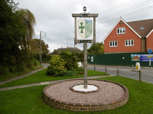
Ansty, West Sussex

Ansty is a village in the Mid Sussex district of West Sussex, England. It lies on the A272 road 1.4 miles (2.2 km) southwest of Cuckfield. It is in the...

Mid Sussex District

Mid Sussex is a local government district in the non-metropolitan county of West Sussex, England, within the historic county of Sussex. It contains the...

Nearby Amenities

Located within 500m of 51.010422,-0.1615075
Barrier: stile
Lat/Long: 51.0074082/-0.1587159
Barrier: kissing_gate
Lat/Long: 51.0074154/-0.1597025
Barrier: stile
Lat/Long: 51.0078604/-0.1640386
Information: guidepost
Tourism: information
Lat/Long: 51.0078941/-0.1640689
Information: guidepost
Tourism: information
Lat/Long: 51.008157/-0.1622855
Information: guidepost
Tourism: information
Lat/Long: 51.0087506/-0.1670688
Information: guidepost
Tourism: information
Lat/Long: 51.0074135/-0.1587247
The data included in this document is from www.openstreetmap.org. The data is made available under ODbL.

Have you been to Beechy Bottom?

Leave your review of Beechy Bottom below (or comments, questions and feedback).