Salthaugh Clough
Valley in Yorkshire
England
Salthaugh Clough
Salthaugh Clough is a picturesque valley located in the county of Yorkshire, England. Nestled within the North York Moors National Park, it is renowned for its outstanding natural beauty and diverse wildlife.
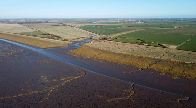
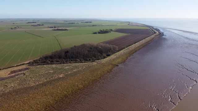
The valley is characterized by its steep sides, which are covered in lush greenery and dotted with ancient trees. A crystal-clear river meanders through the valley floor, adding to its serene ambiance. The river is a vital water source for the local flora and fauna, attracting a wide variety of bird species, including kingfishers and herons.
Salthaugh Clough is also home to a rich and diverse ecosystem. The valley is teeming with wildlife, including foxes, badgers, and rabbits. Many rare plant species thrive in the valley, making it a haven for botany enthusiasts and researchers alike.
The valley offers several walking trails, allowing visitors to explore its natural wonders. The paths wind through the valley, offering breathtaking views of the surrounding countryside. In spring, the valley comes alive with vibrant wildflowers, creating a stunning tapestry of colors.
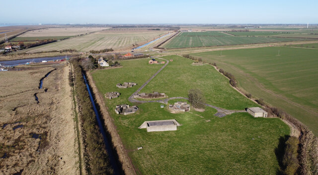
Salthaugh Clough is not only a place of natural beauty but also holds historical significance. The remains of an Iron Age hillfort can be found on the valley's hillside, providing insights into the region's ancient past.
Overall, Salthaugh Clough is a must-visit destination for nature lovers and those seeking tranquility in the heart of Yorkshire. Its breathtaking landscapes and rich biodiversity make it a true gem within the North York Moors National Park.
If you have any feedback on the listing, please let us know in the comments section below.
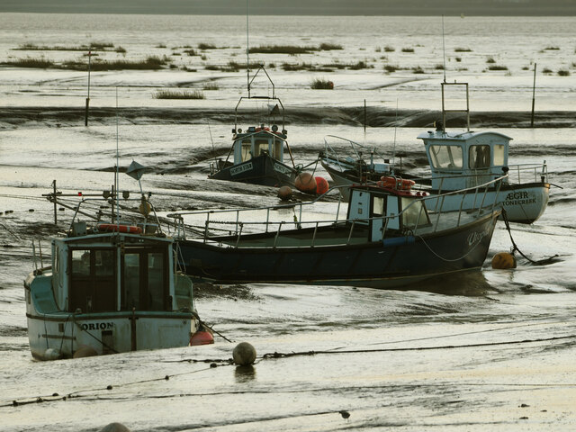
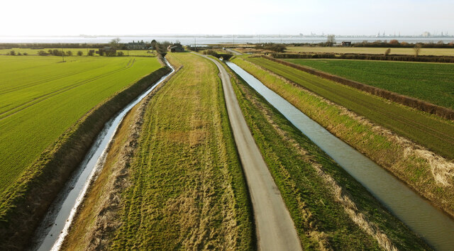
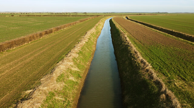
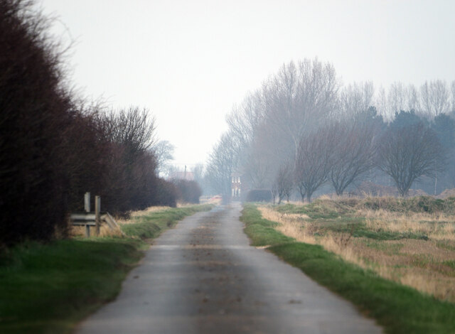
Salthaugh Clough Images
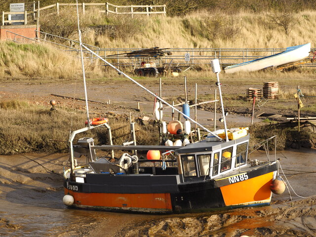
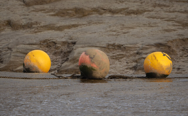
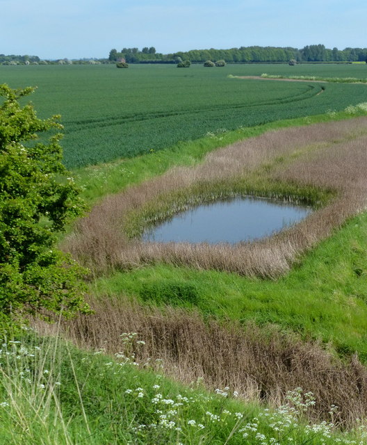
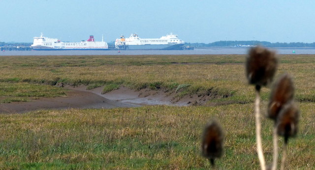
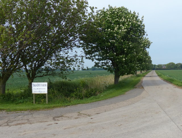
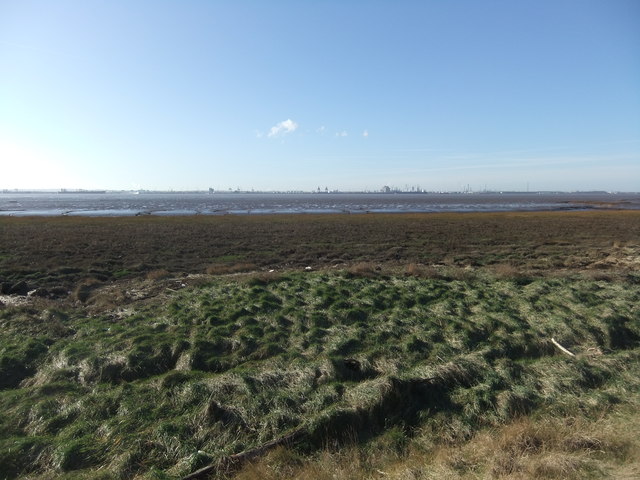
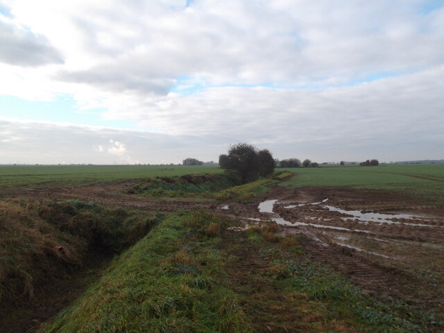
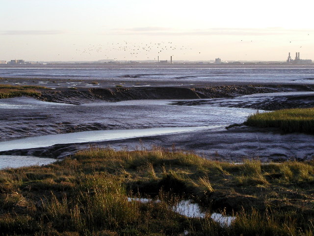
Images are sourced within 2km of 53.653368/-0.12899156 or Grid Reference TA2319. Thanks to Geograph Open Source API. All images are credited.
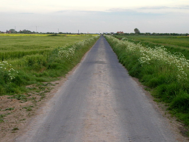
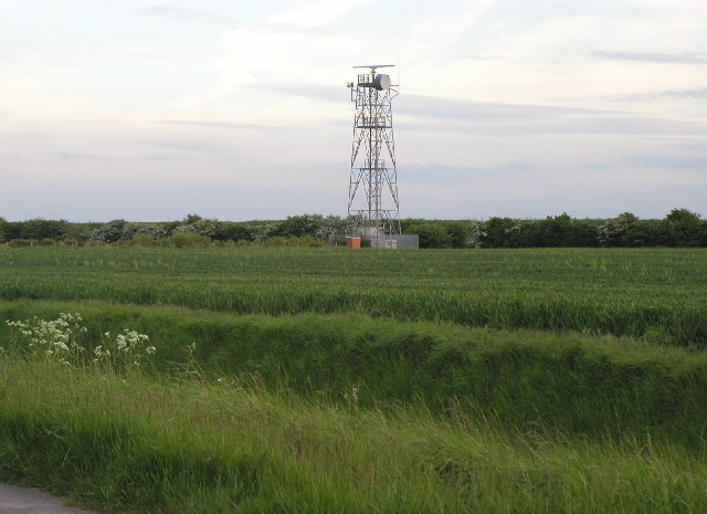
Salthaugh Clough is located at Grid Ref: TA2319 (Lat: 53.653368, Lng: -0.12899156)
Division: East Riding
Unitary Authority: East Riding of Yorkshire
Police Authority: Humberside
What 3 Words
///clearly.siblings.worlds. Near Sunk Island, East Yorkshire
Nearby Locations
Related Wikis

Sunk Island
Sunk Island is a Crown Estate village and civil parish in the East Riding of Yorkshire, England. It lies 3+1⁄2 miles (6 km) south of Ottringham and 1...

Immingham (Eastern Jetty) railway station
Immingham (Eastern Jetty) railway station was a special excursion station built along the port's eastern jetty to cater for traffic to passenger ships...

Immingham Dock electric railway station
Immingham Dock electric railway station was the western terminus of the inter-urban Grimsby and Immingham Electric Railway which ran from Corporation Bridge...
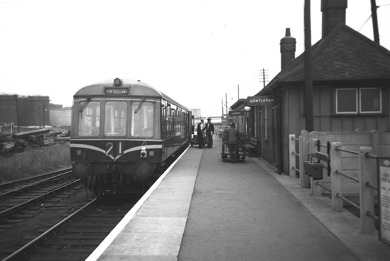
Immingham Dock railway station
Immingham Dock railway station served the dock at Immingham, Lincolnshire, England. == History == Immingham Dock was opened on 17 November 1913 by the...
Nearby Amenities
Located within 500m of 53.653368,-0.12899156Have you been to Salthaugh Clough?
Leave your review of Salthaugh Clough below (or comments, questions and feedback).