Slade Bottom
Valley in Sussex Horsham
England
Slade Bottom
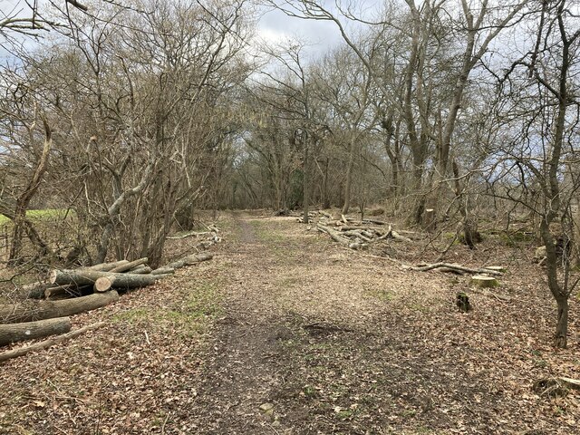
Slade Bottom is a picturesque valley located in the county of Sussex, England. Nestled amidst the South Downs National Park, this scenic area is renowned for its natural beauty and tranquil ambiance. The valley stretches for approximately 5 miles, encompassing rolling hills, lush meadows, and dense woodlands.
The landscape of Slade Bottom is characterized by its gentle slopes and narrow streams, which meander through the valley, creating a serene and idyllic atmosphere. The area is abundant in diverse wildlife, making it a haven for nature enthusiasts and birdwatchers. Visitors can often spot various species of birds, including woodpeckers, kingfishers, and owls, among others.
The valley is also home to a rich variety of flora, with wildflowers dotting the meadows during the spring and summer months. The woodlands are dominated by oak, beech, and ash trees, providing ample shade and shelter for local wildlife.
In addition to its natural beauty, Slade Bottom is steeped in history. Traces of ancient settlements have been discovered in the area, dating back to the Iron Age. The valley has also witnessed various historic events, such as the encampment of armies during the English Civil War.
Slade Bottom offers numerous recreational activities for visitors to enjoy. Hiking and cycling trails crisscross the valley, allowing enthusiasts to explore its scenic vistas and immerse themselves in the peaceful surroundings. The valley is also a popular spot for picnics, photography, and simply unwinding amidst nature's splendor.
Overall, Slade Bottom in Sussex is a captivating destination that seamlessly blends natural beauty, historical significance, and recreational opportunities, making it a cherished gem within the region.
If you have any feedback on the listing, please let us know in the comments section below.
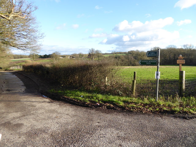
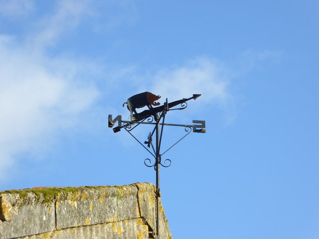
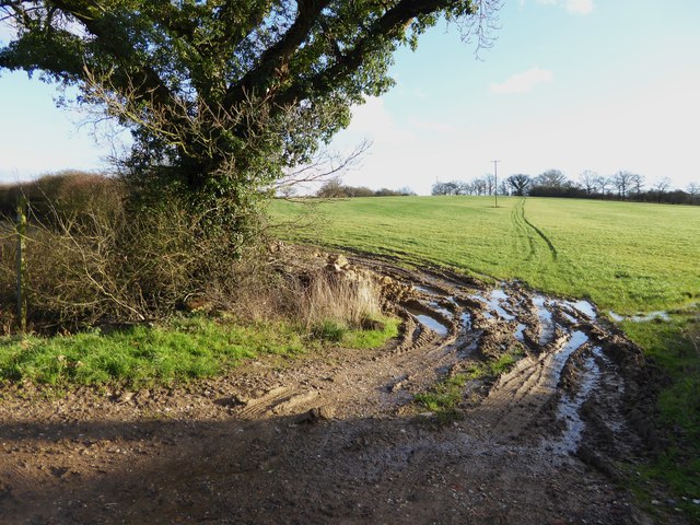
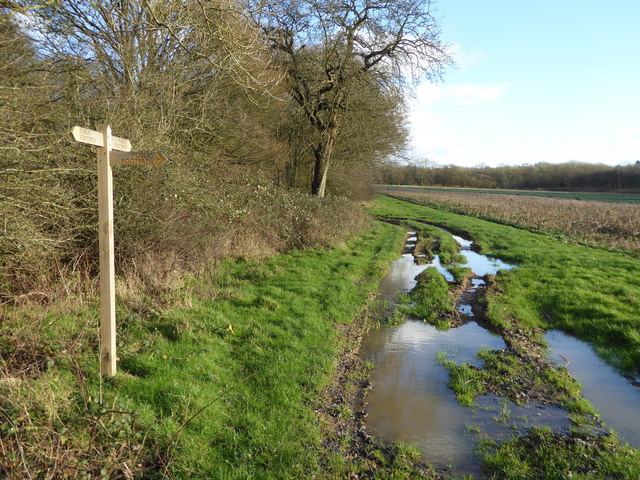
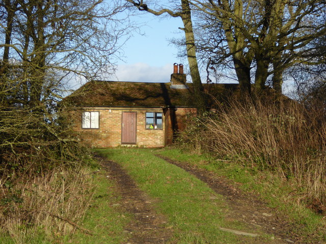
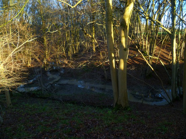
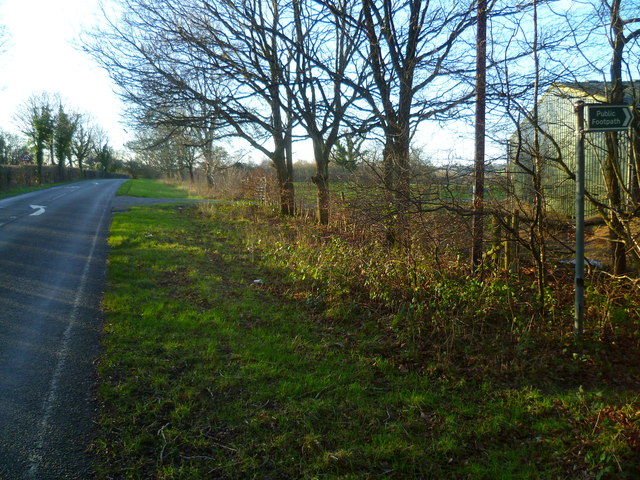
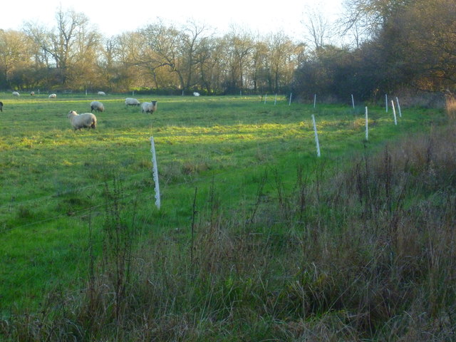
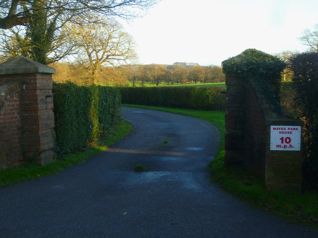
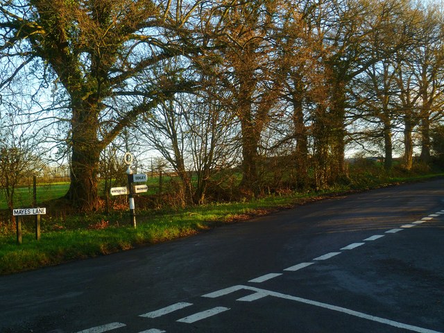
Slade Bottom Images
Images are sourced within 2km of 51.104577/-0.36083982 or Grid Reference TQ1435. Thanks to Geograph Open Source API. All images are credited.


Slade Bottom is located at Grid Ref: TQ1435 (Lat: 51.104577, Lng: -0.36083982)
Administrative County: West Sussex
District: Horsham
Police Authority: Sussex
What 3 Words
///blissful.elect.likewise. Near Warnham, West Sussex
Nearby Locations
Related Wikis

Warnham & Rusper (electoral division)
Warnham & Rusper is an electoral division of West Sussex in the United Kingdom and returns one member to sit on West Sussex County Council. The current...

Warnham
Warnham is a village and civil parish in the Horsham district of West Sussex, England. The village is centred 2 miles (3.2 km) north-northwest of Horsham...

Stane Street (Chichester)
Stane Street is the modern name of the 91 km-long (57 mi) Roman road in southern England that linked Londinium (London) to Noviomagus Reginorum (Chichester...

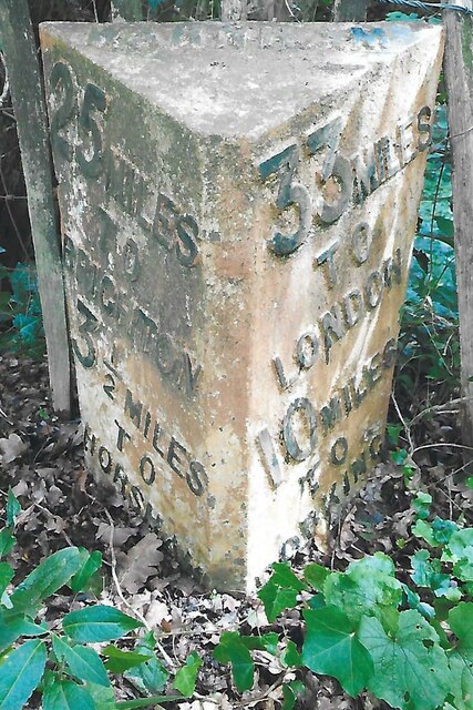
Warnham railway station
Warnham railway station serves the village of Warnham in West Sussex, England. It is 33 miles 46 chains (54.0 km) measured from London Waterloo (although...

E. Tredcroft's Ground
E. Tredcroft's Ground was a cricket ground at the Warnham Court estate, located at Horsham, Sussex. The first recorded match on the ground was in 1851...

Warnham SSSI
Warnham SSSI is a 28.5-hectare (70-acre) geological Site of Special Scientific Interest north of Horsham in West Sussex. It is a Geological Conservation...

Field Place, Warnham
Field Place is a Grade I listed house in Warnham, West Sussex, England. It is the birthplace of the poet Percy Bysshe Shelley, born there in 1792. The...

Graylands
Graylands is a hamlet in the Horsham district of West Sussex, England. The largely rural hamlet is located north of Holbrook beyond the A264. It is bordered...
Nearby Amenities
Located within 500m of 51.104577,-0.36083982Have you been to Slade Bottom?
Leave your review of Slade Bottom below (or comments, questions and feedback).