Barton
Settlement in Lancashire Preston
England
Barton

Barton is a small village located in the county of Lancashire, England. Situated in the picturesque Ribble Valley, Barton offers a tranquil and idyllic setting for its residents. The village is nestled along the banks of the River Ribble, surrounded by rolling green hills and beautiful countryside.
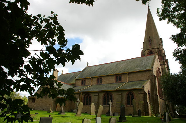
With a population of around 1,500, Barton retains its rural charm and close-knit community feel. The village is known for its historic buildings, including the Grade II listed St. Lawrence's Church, which dates back to the 12th century. This impressive structure serves as a reminder of Barton's rich heritage.
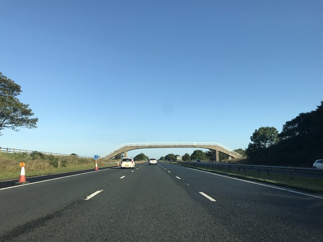
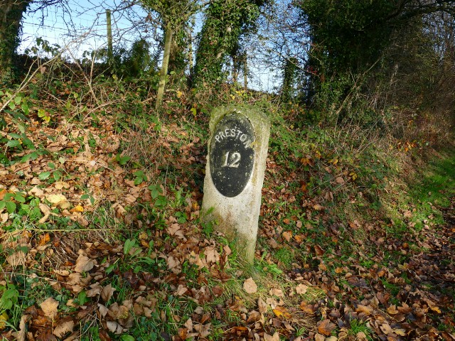
Despite its small size, Barton boasts a range of amenities to cater to the needs of its residents. There is a local primary school, a village hall that hosts various community events, and a handful of shops and pubs where locals gather. The village also benefits from excellent transport links, with easy access to the nearby towns of Preston and Blackburn.
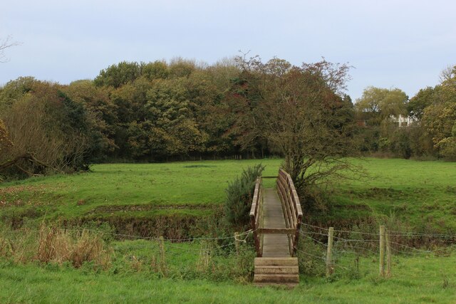
Barton offers plenty of opportunities for outdoor activities, with numerous walking trails and cycling routes in the surrounding countryside. The nearby Forest of Bowland, an Area of Outstanding Natural Beauty, provides residents with stunning scenery and wildlife. Additionally, the River Ribble is popular for fishing and boating enthusiasts.
Overall, Barton is a charming and picturesque village that offers a peaceful and rural lifestyle. Its rich history, stunning natural surroundings, and strong community spirit make it an appealing place to live for those seeking a slower pace of life in the heart of Lancashire.
If you have any feedback on the listing, please let us know in the comments section below.
Barton Images
Images are sourced within 2km of 53.832788/-2.7382177 or Grid Reference SD5137. Thanks to Geograph Open Source API. All images are credited.


Barton is located at Grid Ref: SD5137 (Lat: 53.832788, Lng: -2.7382177)
Administrative County: Lancashire
District: Preston
Police Authority: Lancashire
What 3 Words
///basin.anyway.caring. Near Goosnargh, Lancashire
Nearby Locations
Related Wikis
Barton, Preston
Barton is a linear village and civil parish in the City of Preston, Lancashire, England. The parish had a population of 1,150, of whom 552 were male and...
St Lawrence's Church, Barton
St Lawrence's Church is in Garstang Road, Barton, Preston, Lancashire, England. It is an active Anglican parish church in the diocese of Blackburn....
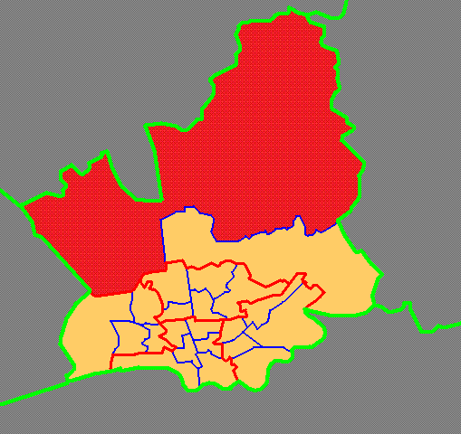
Preston Rural North
Preston Rural North is an electoral ward in the City of Preston, Lancashire, England. The ward is the largest by area in the city, containing the smaller...
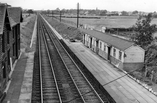
Barton and Broughton railway station
Barton and Broughton railway station served the villages of Barton and Broughton in Lancashire, England, from 1840 to 1965 on the Lancaster and Preston...
Nearby Amenities
Located within 500m of 53.832788,-2.7382177Have you been to Barton?
Leave your review of Barton below (or comments, questions and feedback).