Black Barn Gill
Valley in Sussex Horsham
England
Black Barn Gill

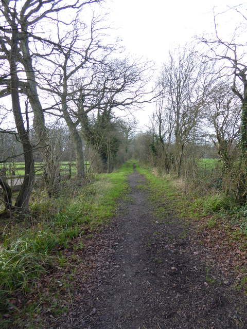
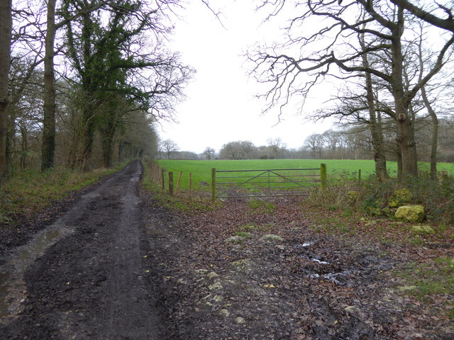
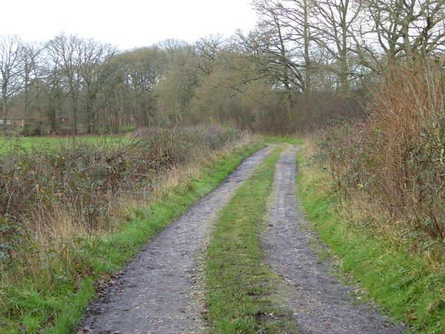
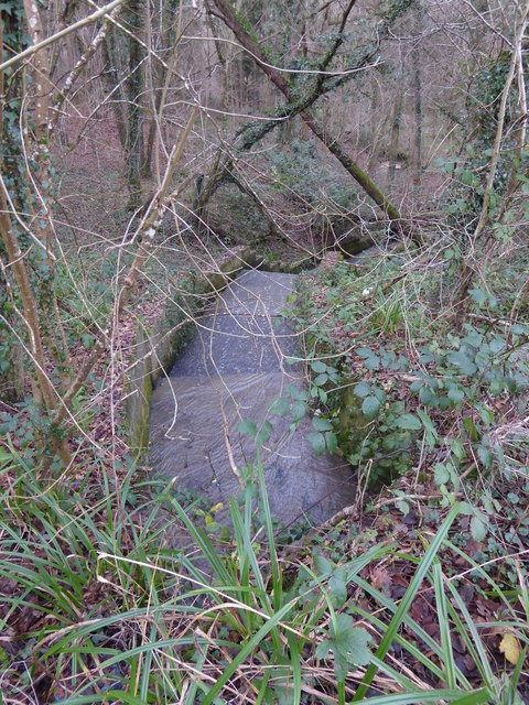
Black Barn Gill is a picturesque valley located in the county of Sussex, England. Nestled amidst the rolling hills, the gill is known for its natural beauty and tranquil atmosphere. The name "Black Barn Gill" is derived from the presence of a historic black barn that once stood in the valley, adding to its charm and character.
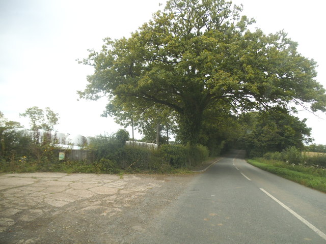
The gill is characterized by its lush greenery and dense woodland, creating a haven for wildlife and nature enthusiasts. It is home to a diverse range of flora and fauna, including various species of birds, butterflies, and small mammals. The babbling brook that runs through the valley adds to the serenity of the surroundings, offering a peaceful retreat for visitors.
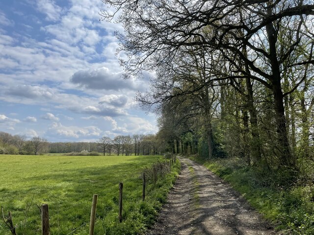
The walking trails in Black Barn Gill are popular among hikers and walkers, who can explore the area at their own pace. The trails wind through the valley, offering breathtaking views of the surrounding countryside and providing opportunities for nature photography. Along the way, visitors may come across ancient trees, wildflowers, and even the occasional glimpse of a deer or fox.
Black Barn Gill is also a favored spot for picnickers and those seeking a secluded spot for relaxation. The valley provides ample space for families and friends to unwind, enjoying a picnic amidst the sounds of nature. The peaceful ambiance and stunning scenery make it an idyllic location for a day trip or a weekend getaway.
In conclusion, Black Barn Gill is a tranquil and picturesque valley in Sussex, offering visitors a chance to immerse themselves in nature's beauty. With its diverse wildlife, scenic walking trails, and peaceful atmosphere, it is a gem in the heart of the English countryside.
If you have any feedback on the listing, please let us know in the comments section below.
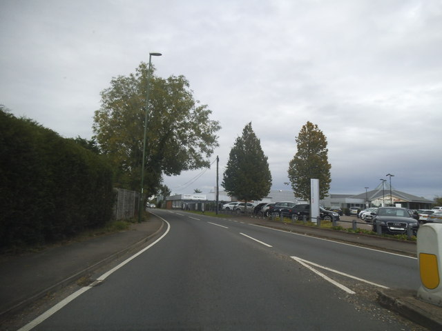
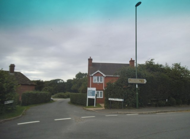
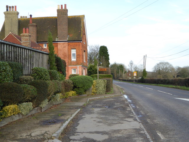
Black Barn Gill Images
Images are sourced within 2km of 51.060769/-0.43070067 or Grid Reference TQ1030. Thanks to Geograph Open Source API. All images are credited.


Black Barn Gill is located at Grid Ref: TQ1030 (Lat: 51.060769, Lng: -0.43070067)
Administrative County: West Sussex
District: Horsham
Police Authority: Sussex
What 3 Words
///victor.butterfly.speaks. Near Slinfold, West Sussex
Nearby Locations
Related Wikis

Slinfold railway station
Slinfold railway station was on the Cranleigh Line and served the village of Slinfold in West Sussex. == History == The line had a single track and opened...

Five Oaks
Five Oaks is a large hamlet in the Horsham District of West Sussex, England. It lies about 1.7 miles (2.8 km) north of Billingshurst on the Roman road...

The Haven, West Sussex
The Haven is a rural hamlet in West Sussex, south east England located about 7 miles to the west of Horsham.The Haven is primarily an agricultural area...

Slinfold
Slinfold is a village and civil parish in the Horsham District of West Sussex, England. == Geography == The village is almost 4 miles (6.4 km) west of...

Slinfold Stream and Quarry
Slinfold Stream and Quarry is a 2.3-hectare (5.7-acre) geological Site of Special Scientific Interest west of Horsham in West Sussex. It is a Geological...

Itchingfield
Itchingfield is a small village and civil parish in the Horsham district of West Sussex, England. It lies on the Barns Green to Broadbridge Heath road...

Coppedhall Hanger
Coppedhall Hanger is a 0.6-hectare (1.5-acre) geological Site of Special Scientific Interest north of Billingshurst in West Sussex. It is a Geological...
Rudgwick railway station
Rudgwick railway station was on the Cranleigh Line. It served the village of Rudgwick in West Sussex until June, 1965. == History == Rudgwick station opened...
Nearby Amenities
Located within 500m of 51.060769,-0.43070067Have you been to Black Barn Gill?
Leave your review of Black Barn Gill below (or comments, questions and feedback).