Vale of Holmesdale
Valley in Surrey Guildford
England
Vale of Holmesdale
Vale of Holmesdale, Surrey, also known as the Holmesdale Valley, is a picturesque area located in the county of Surrey, England. Situated between the North Downs and the Greensand Ridge, this valley is known for its stunning natural beauty and rich history.
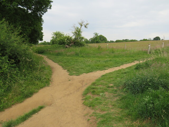
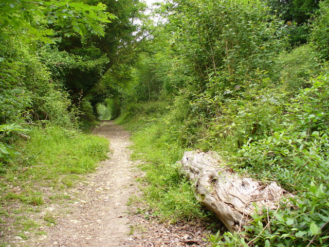
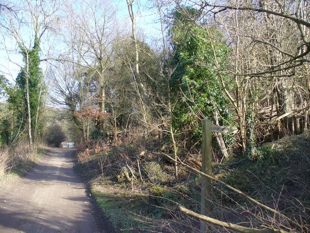
The valley stretches for approximately 20 miles from the town of Dorking in the west to the town of Redhill in the east. It is characterized by rolling hills, lush meadows, and dense woodland, creating a diverse and picturesque landscape. The River Mole flows through the valley, adding to its charm and providing a habitat for various species of flora and fauna.
The Vale of Holmesdale has a long history dating back to prehistoric times. Evidence of Neolithic and Bronze Age settlements have been discovered in the area, highlighting its importance as a place of human habitation throughout the ages. The valley was also a significant region during Roman times, with the remains of a Roman villa discovered near Betchworth Castle.
Today, the Vale of Holmesdale is a popular destination for outdoor enthusiasts and nature lovers. The valley offers numerous walking and cycling trails, providing an opportunity to explore its natural wonders. Visitors can also enjoy the tranquility of the countryside, with many picnic spots and scenic viewpoints dotted throughout the area.
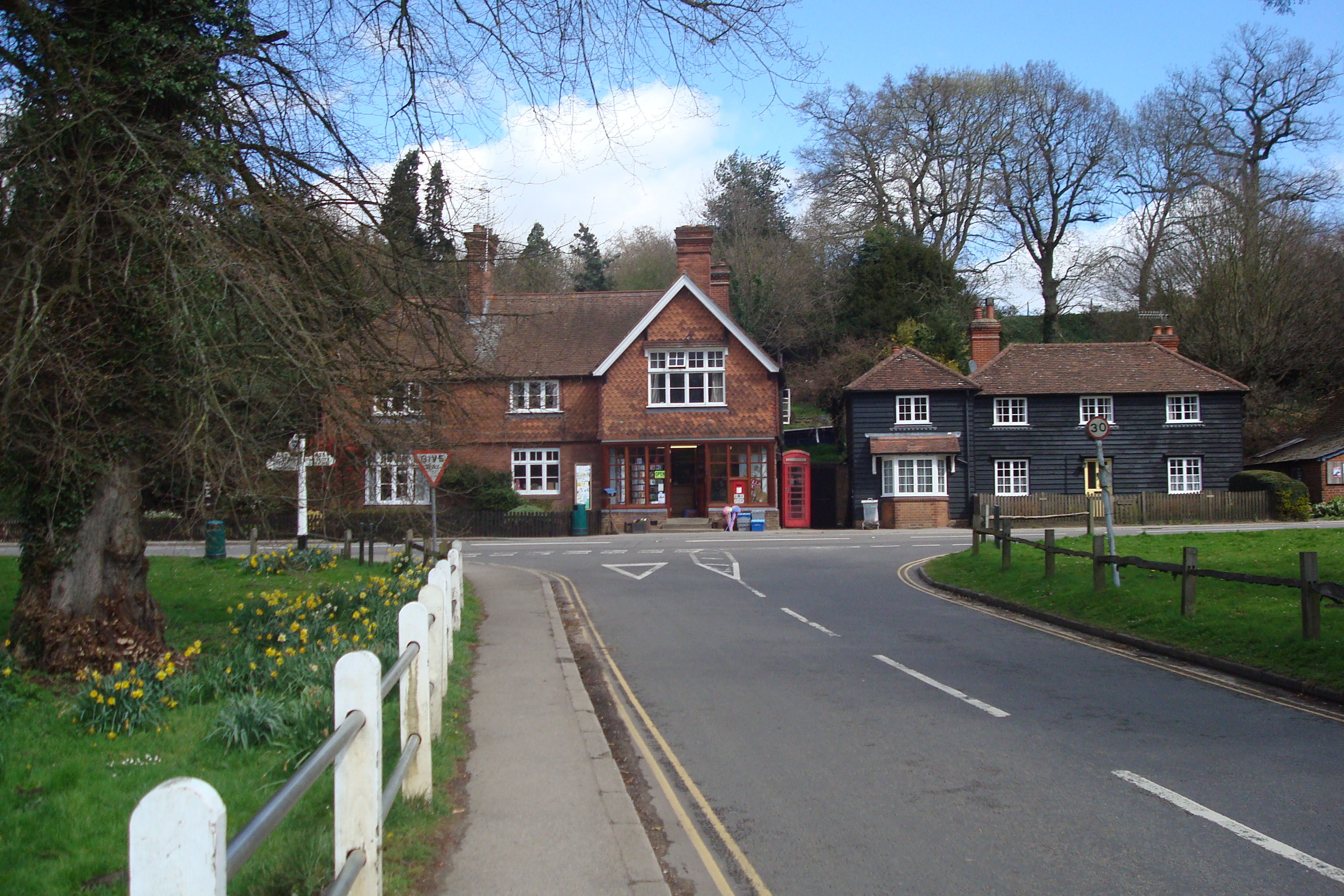
In addition to its natural beauty, the Vale of Holmesdale is home to several charming villages and historic sites. These include the picturesque village of Brockham with its traditional cottages, the historic market town of Reigate with its medieval castle ruins, and the beautiful Polesden Lacey estate with its stunning gardens and Edwardian mansion.
Overall, the Vale of Holmesdale, Surrey, is a captivating region that combines natural splendor with a rich historical legacy, offering visitors a unique and memorable experience.
If you have any feedback on the listing, please let us know in the comments section below.
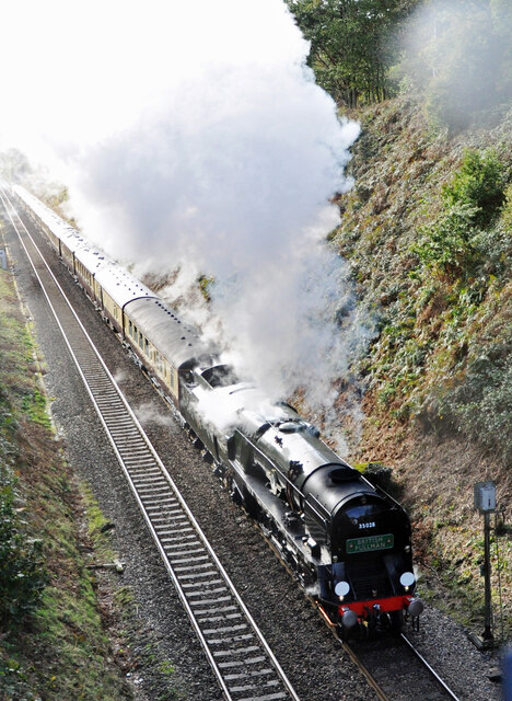
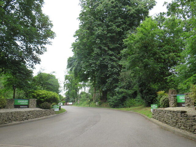
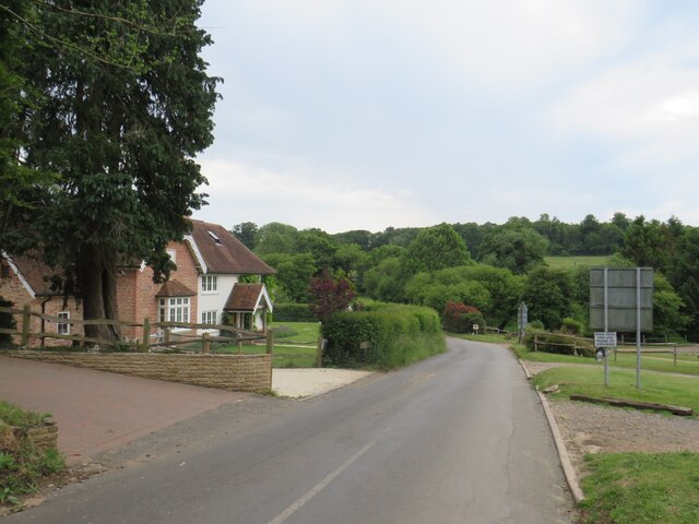
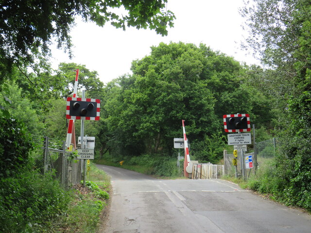
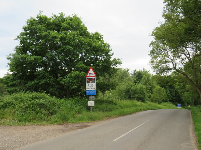
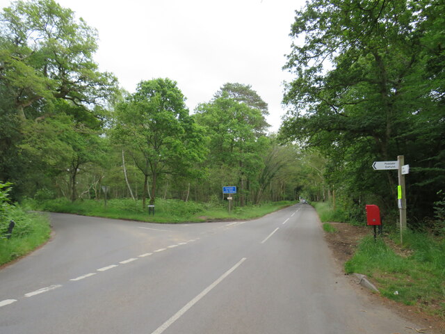
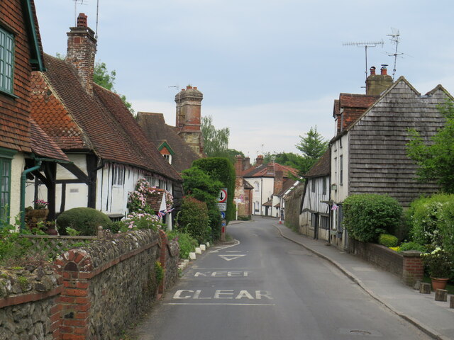
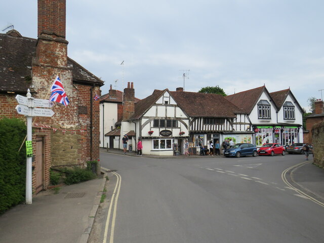
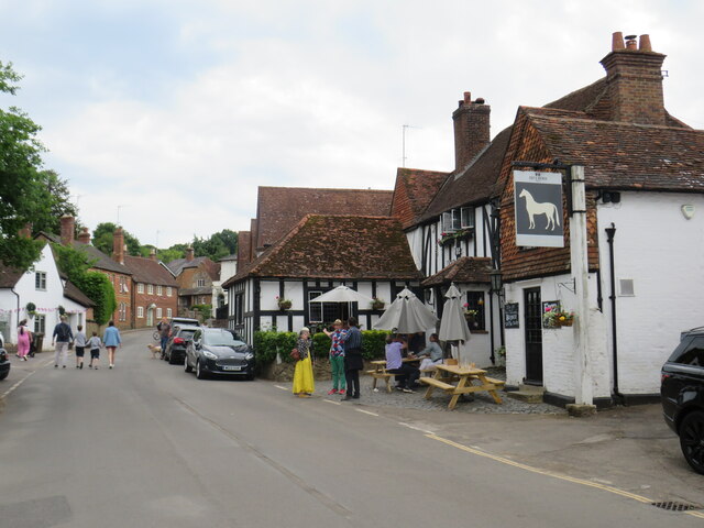
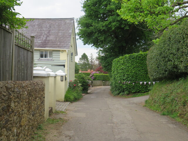
Vale of Holmesdale Images
Images are sourced within 2km of 51.211407/-0.4612351 or Grid Reference TQ0746. Thanks to Geograph Open Source API. All images are credited.


Vale of Holmesdale is located at Grid Ref: TQ0746 (Lat: 51.211407, Lng: -0.4612351)
Administrative County: Surrey
District: Guildford
Police Authority: Surrey
What 3 Words
///will.chop.twigs. Near Peaslake, Surrey
Nearby Locations
Related Wikis

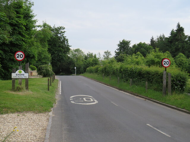
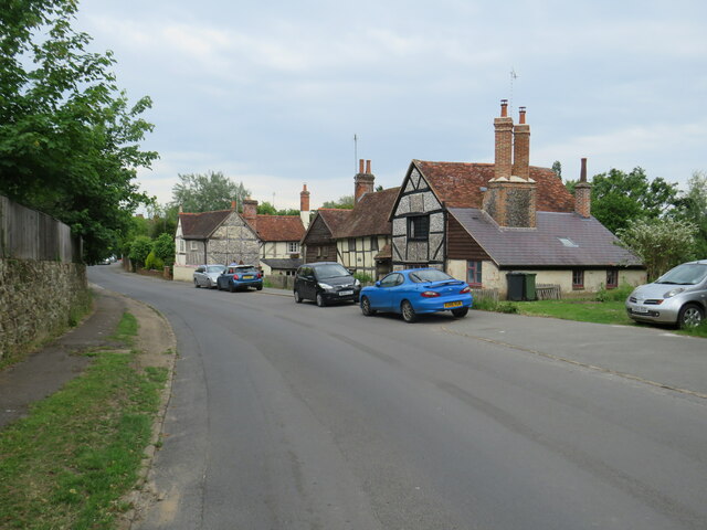
Shere
Shere is a village in the Guildford district of Surrey, England 4.8 miles (7.7 km) east south-east of Guildford and 5.4 miles (8.7 km) west of Dorking...

Gomshall
Gomshall is a village in the borough of Guildford in Surrey, England.It is on the A25, roughly halfway between Guildford and Dorking, and in Shere civil...

Albury Park
Albury Park is a country park and Grade II* listed historic country house (Albury Park Mansion) in Surrey, England. It covers over 150 acres (0.61 km2...

Old St Peter and St Paul's Church, Albury
Old St Peter and St Paul's Church is a former Anglican church near the village of Albury, Surrey, England in the care of The Churches Conservation Trust...

Gomshall railway station
Gomshall railway station serves the village of Gomshall in Surrey, England. The station, and all trains serving it, are operated by Great Western Railway...
Combe Bottom
Combe Bottom is a 42.1-hectare (104-acre) biological Site of Special Scientific Interest north of Shere in Surrey. It is designated a Local Nature Reserve...
Abinger Hammer
Abinger Hammer is a village in the Vale of Holmesdale, located on the A25 in Surrey, England. The village is located within the Surrey Hills AONB, approximately...
Piney Copse
Piney Copse is 1.7 hectares (4.2 acres) of woodland located approximately 450 metres (1,480 ft) east of Gomshall railway station and north of the Surrey...
Nearby Amenities
Located within 500m of 51.211407,-0.4612351Have you been to Vale of Holmesdale?
Leave your review of Vale of Holmesdale below (or comments, questions and feedback).