Kirkdale

Valley in Lincolnshire North Kesteven

England

Kirkdale

Bend ahead on the A15
Bend ahead on the A15 Credit: Steve Fareham

The requested URL returned error: 429 Too Many Requests

If you have any feedback on the listing, please let us know in the comments section below.
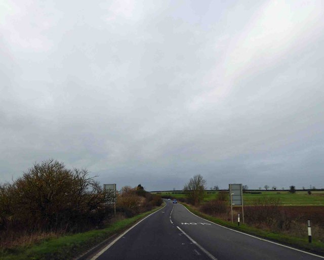
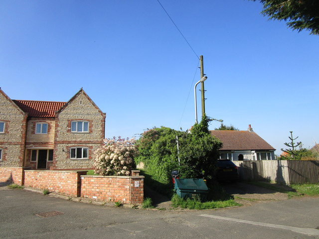
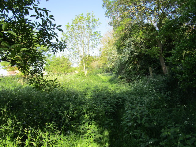
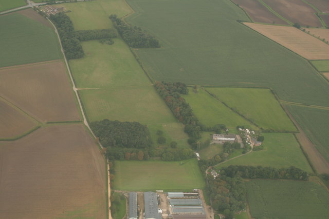
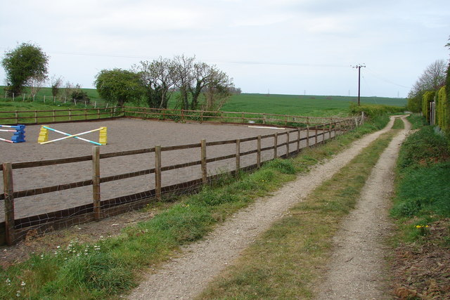
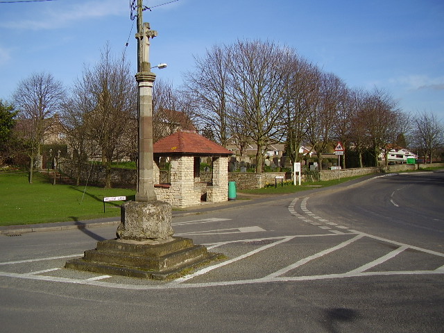
Kirkdale Images

Images are sourced within 2km of 53.030637/-0.44128006 or Grid Reference TF0449. Thanks to Geograph Open Source API. All images are credited.

Bend ahead on the A15
A15 heading North
A15 heading North
Oxenford Farm, Willow Lane, Cranwell
Posing sheep near Hall Farm
Permissive path off Willow Lane Not marked on OS.
Permissive path off Willow Lane
Not marked on OS.
Disputed footpath Marked as a footpath on older OS maps but not on more recent ones. Nonetheless it is waymarked from the western end and stiles are in place. However it is little used (four stiles in a very short distance is not encouraging) and the landowner is seeking to have it formally closed. An alternative permissive path a little to the north is available.
Disputed footpath
Marked as a footpath on older OS maps but not on more recent ones. Nonetheless it is waymarked from the western end and stiles are in place. However it is little used (four stiles in a very short distance is not encouraging) and the landowner is seeking to have it formally closed. An alternative permissive path a little to the north is available.
Farm track at Roxholme The material heaped by the side of the track is barley that has been grown for forage. Presumably this was a loading point.
Farm track at Roxholme
The material heaped by the side of the track is barley that has been grown for forage. Presumably this was a loading point.
Former Methodist church, Roxholme Now a dwelling.
Former Methodist church, Roxholme
Now a dwelling.
Remains of ridge and furrow near Roxholme Hall: aerial 2020
Road to Roxholm This road to Roxholm Hall is also a bridleway.
Road to Roxholm
This road to Roxholm Hall is also a bridleway.
Roxholm Hall This Hall is used as a care centre.
Roxholm Hall
This Hall is used as a care centre.
Crossroads Showing Road/Bridleway in the distance leading to Roxholm Hall
Crossroads
Showing Road/Bridleway in the distance leading to Roxholm Hall
Tree-Lined area in Thorold Avenue, Cranwell There are fields beyond and to the north of this nicely situated small row of bungalows
Tree-Lined area in Thorold Avenue, Cranwell
There are fields beyond and to the north of this nicely situated small row of bungalows
Public Footpath off De Gravel Drive, Cranwell Village The land to the west is a horse-jumping area.
Public Footpath off De Gravel Drive, Cranwell Village
The land to the west is a horse-jumping area.
Small Church and Graveyard Roxholme near Leasingham There is no sign on this Church but it is still in use
Small Church and Graveyard Roxholme near Leasingham
There is no sign on this Church but it is still in use
Terraced house at 24 Thorold Avenue, Cranwell Typical of most houses on this stretch of the street
Terraced house at 24 Thorold Avenue, Cranwell
Typical of most houses on this stretch of the street
House beside Church on Leasingham / Bloxholme Road
Roadway to Highfield House The first part of this roadway (as far as the bend) follows the course of the former military railway to Cranwell <span class="nowrap"><a title="https://en.wikipedia.org/wiki/Cranwell_branch" rel="nofollow ugc noopener" href="https://en.wikipedia.org/wiki/Cranwell_branch">Link</a><img style="margin-left:2px;" alt="External link" title="External link - shift click to open in new window" src="https://s1.geograph.org.uk/img/external.png" width="10" height="10"/></span>
Roadway to Highfield House
The first part of this roadway (as far as the bend) follows the course of the former military railway to Cranwell LinkExternal link
Show me another place!

Kirkdale is located at Grid Ref: TF0449 (Lat: 53.030637, Lng: -0.44128006)

Administrative County: Lincolnshire

District: North Kesteven

Police Authority: Lincolnshire

What 3 Words

///engine.cured.quality. Near Leasingham, Lincolnshire

Nearby Locations

Kirkdale

Related Wikis

Leasingham

Leasingham is a village and civil parish in the North Kesteven district of Lincolnshire, England. It is situated less than 2 miles (3 km) north from Sleaford...

Cranwell

Cranwell is a village in the civil parish of Cranwell, Brauncewell and Byard's Leap, in the North Kesteven district of Lincolnshire, England. It is situated...

No. 16 Squadron RAF

Number 16 Squadron Royal Air Force, nicknamed 'the Saints', is a flying squadron of the Royal Air Force (RAF) who currently provide elementary flying training...

RAF Cranwell

Royal Air Force Cranwell or more simply RAF Cranwell (ICAO: EGYD) is a Royal Air Force station in Lincolnshire, England, close to the village of Cranwell...

Nearby Amenities

Located within 500m of 53.030637,-0.44128006
Power: pole
Lat/Long: 53.0263289/-0.4393566
Power: pole
Lat/Long: 53.0267935/-0.4380584
Power: pole
Lat/Long: 53.0272291/-0.4369479
Power: pole
Lat/Long: 53.0276808/-0.4358053
Power: pole
Lat/Long: 53.0264773/-0.4420549
Power: pole
Lat/Long: 53.0295439/-0.4461023
Power: pole
Lat/Long: 53.0289568/-0.4449195
Power: pole
Lat/Long: 53.0284357/-0.4438359
Power: pole
Lat/Long: 53.0278711/-0.4427469
Power: pole
Lat/Long: 53.0273355/-0.4416713
Power: pole
Lat/Long: 53.0268935/-0.4406923
The data included in this document is from www.openstreetmap.org. The data is made available under ODbL.

Have you been to Kirkdale?

Leave your review of Kirkdale below (or comments, questions and feedback).