Artichoke Dell
Valley in Hertfordshire Three Rivers
England
Artichoke Dell
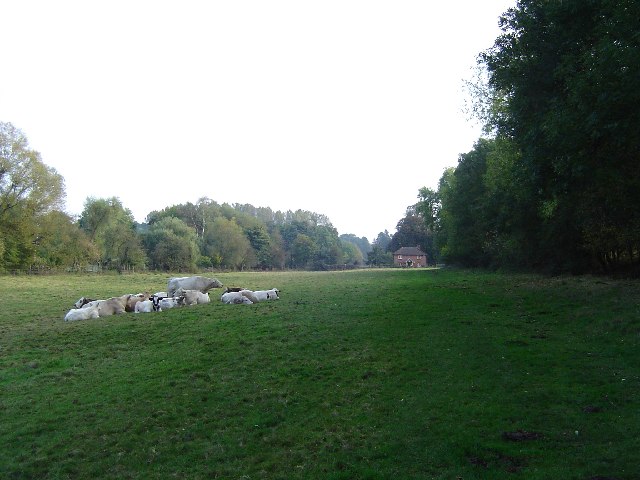
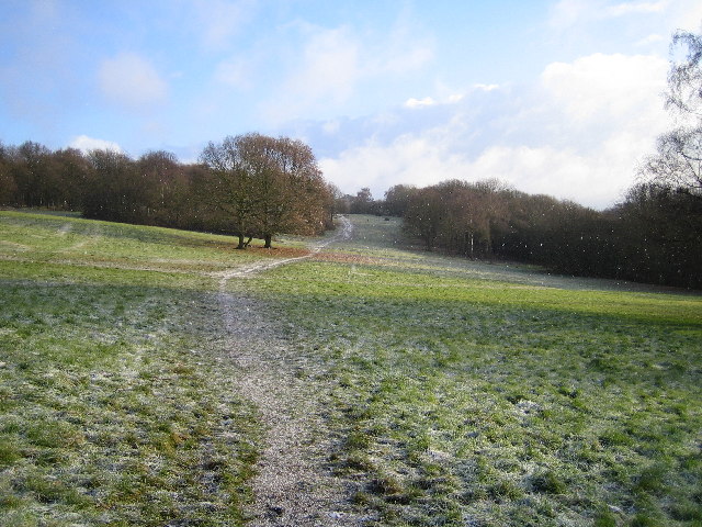
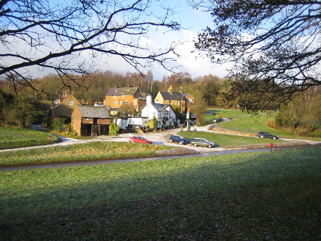
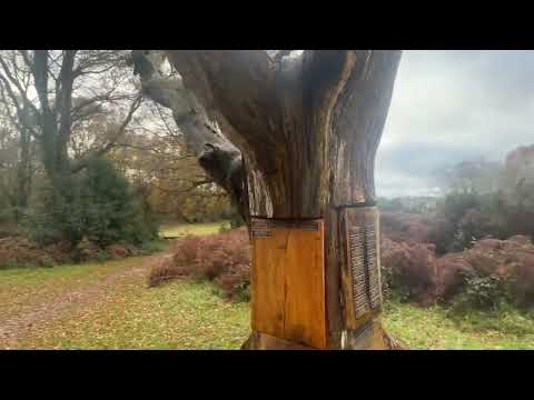
Artichoke Dell is a picturesque valley located in Hertfordshire, England. Nestled in the rolling countryside, this enchanting dell is known for its natural beauty and tranquil atmosphere. The valley is named after the abundant growth of artichoke plants that populate the area, adding to its unique charm.
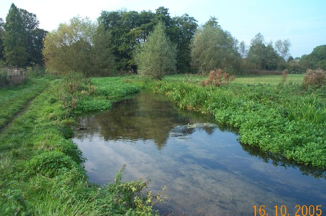
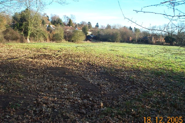
Covering an area of approximately 50 acres, Artichoke Dell boasts lush green meadows, dense woodlands, and a meandering stream that runs through its heart. The dell is home to a rich variety of flora and fauna, making it a haven for nature lovers and wildlife enthusiasts. Visitors can spot a range of bird species, including kingfishers, herons, and ducks, as well as small mammals such as rabbits and squirrels.
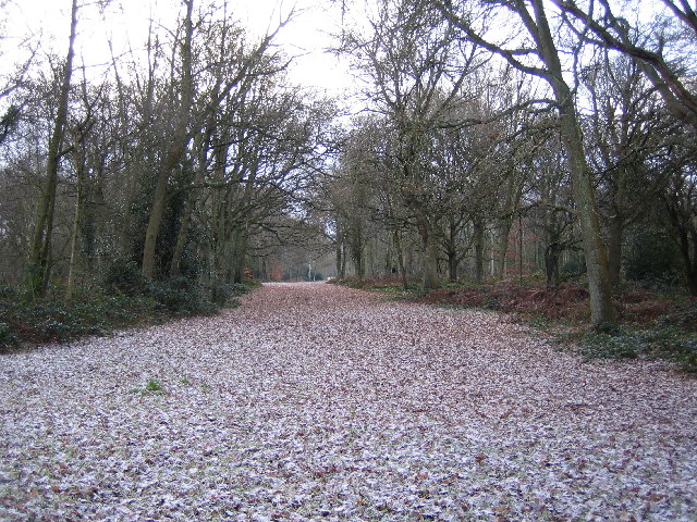
The dell offers a network of well-maintained walking trails, allowing visitors to explore its natural wonders at their own pace. These trails wind through the verdant meadows, offering stunning views of the surrounding landscape. During spring, the dell bursts into a riot of colors as wildflowers bloom, creating a captivating sight for visitors.
Artichoke Dell is also a popular spot for picnickers and families seeking a peaceful retreat. Its serene ambiance and idyllic surroundings make it an ideal location for relaxation and escape from the hustle and bustle of city life. Additionally, the dell hosts occasional outdoor events, such as music concerts and art exhibitions, adding to its cultural appeal.
Overall, Artichoke Dell in Hertfordshire is a hidden gem, offering a perfect blend of natural beauty, tranquility, and recreational opportunities for those seeking a serene escape in the heart of the English countryside.
If you have any feedback on the listing, please let us know in the comments section below.
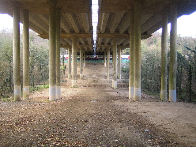
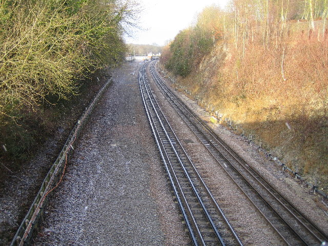
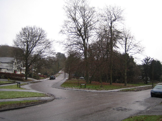
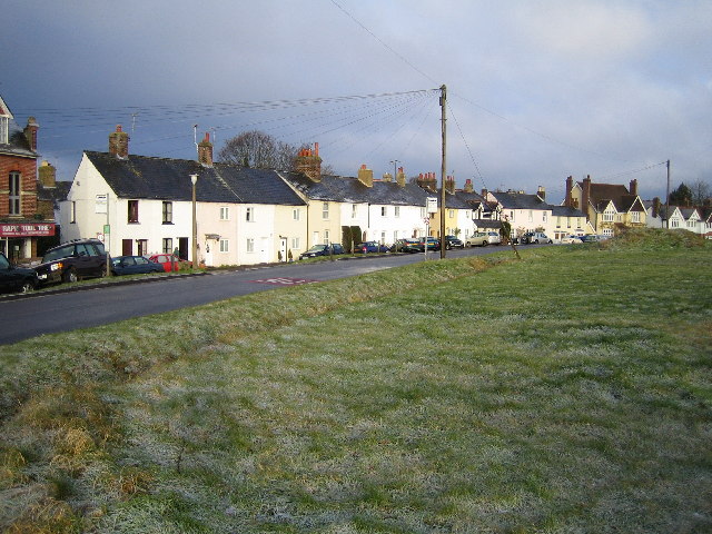
Artichoke Dell Images
Images are sourced within 2km of 51.653144/-0.50511451 or Grid Reference TQ0395. Thanks to Geograph Open Source API. All images are credited.


Artichoke Dell is located at Grid Ref: TQ0395 (Lat: 51.653144, Lng: -0.50511451)
Administrative County: Hertfordshire
District: Three Rivers
Police Authority: Hertfordshire
What 3 Words
///pulled.shark.stuck. Near Chorleywood, Hertfordshire
Nearby Locations
Related Wikis

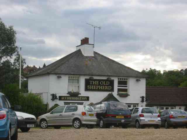
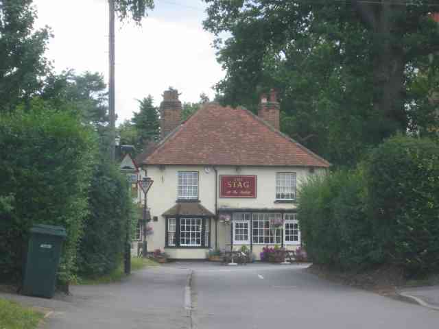
Chorleywood
Chorleywood is both a village and a civil parish in the Three Rivers District, Hertfordshire, on the border with Buckinghamshire, approximately 20 miles...

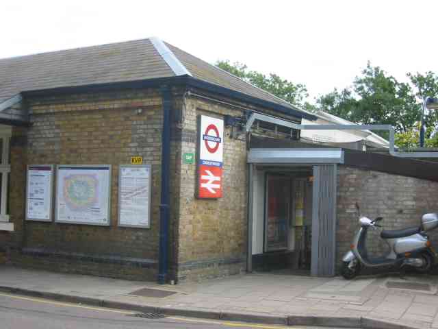
Chorleywood station
Chorleywood is a London Underground and National Rail station in Travelcard Zone 7 (previously zone B) on the Metropolitan line. The village of Chorleywood...

Chorleywood House Estate
Chorleywood House Estate is a 64.3 hectare Local Nature Reserve in Chorleywood in Hertfordshire. It is owned and managed by Three Rivers District Council...

Chorleywood Common
Chorleywood Common is a 75.6 hectare Local Nature Reserve in Chorleywood in Hertfordshire. It is owned and managed by Chorleywood Parish Council, and the...
St Clement Danes School
St Clement Danes School is a mixed academy school in Chorleywood, Hertfordshire. == Admissions == St Clement Danes is a partially selective school, providing...

Loudwater, Hertfordshire
Loudwater is a private housing estate in the parish of Chorleywood, separated from the latter by the River Chess, north of Rickmansworth, Hertfordshire...

Heronsgate
Heronsgate (or formerly Herringsgate) is a settlement on the outskirts of Chorleywood, Hertfordshire founded by Feargus O'Connor and the Chartist Cooperative...
Mill End, Rickmansworth
Mill End is a suburb of Rickmansworth in Hertfordshire, England. Most of it is an unparished area, not being within a civil parish, although part of the...
Related Videos

Chess Valley | Day Hike Sunday | 4K Drone | Chorleywood to Chesham walk | 🇬🇧 Hiking UK | England
The Chess Valley, one of the most beautiful and tranquil parts of the Chiltern Hills, yet never more than a couple of kilometres from ...

Chess Valley | Day Hike Sunday | 🇬🇧 Hiking UK | England
The Chess Valley, one of the most beautiful and tranquil parts of the Chiltern Hills, yet never more than a couple of kilometres from ...
Walking silent and breathing in nature to make balance
nature #walking #karma #silent #park #earth #us.

New cycle path on Chorleywood Common | Three Rivers Local Cycling and Walking Infrastructure Plan
Go to Hertfordshire County Council's website and search for "LCWIP". On the page entitled Local cycling and walking ...
Nearby Amenities
Located within 500m of 51.653144,-0.50511451Have you been to Artichoke Dell?
Leave your review of Artichoke Dell below (or comments, questions and feedback).