The Dale

Valley in Yorkshire Ryedale

England

The Dale

The entrance to Boythorpe Farm
The entrance to Boythorpe Farm Credit: Ian S

The Dale, Yorkshire, also known as the Valley of Yorkshire, is a picturesque region situated in the northern part of England. Nestled within the stunning Yorkshire Dales National Park, The Dale is renowned for its breathtaking landscapes, charming villages, and rich cultural heritage.

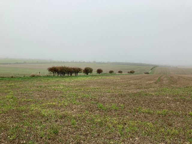
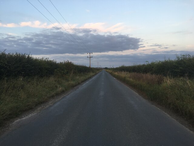
The Dale is characterized by its rolling hills, deep valleys, and meandering rivers, offering an idyllic setting for outdoor enthusiasts. The region is a haven for hikers, cyclists, and nature lovers, providing a multitude of trails and paths to explore the diverse terrain. From the famous Three Peaks, including Ingleborough, Whernside, and Pen-y-ghent, to the enchanting Gordale Scar and Malham Cove, The Dale showcases a diverse range of geological formations and stunning vistas.

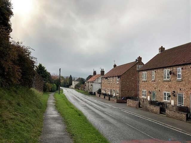
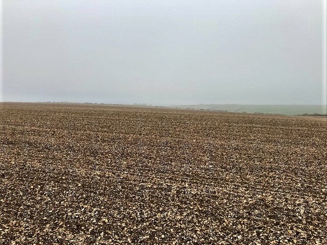
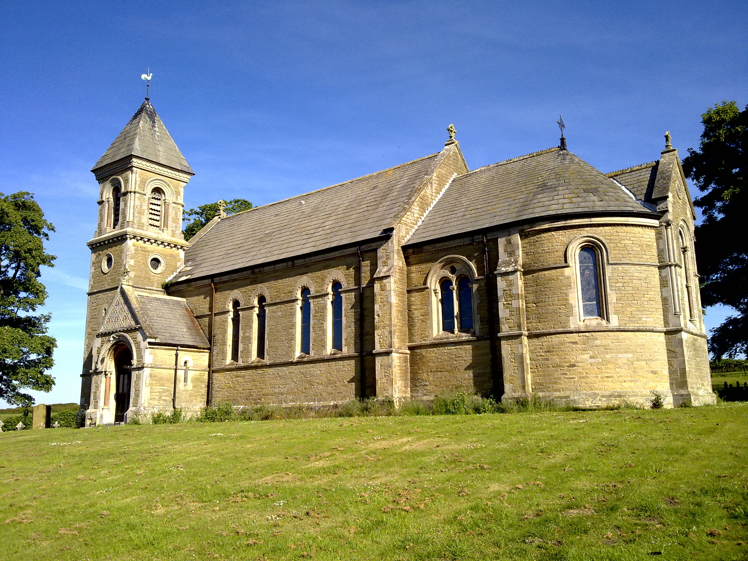
The villages within The Dale exude a quaint charm, with traditional stone buildings, cobbled streets, and a warm community atmosphere. Places such as Grassington, Hawes, and Kettlewell offer visitors a chance to experience the region's rich history, local traditions, and delicious Yorkshire cuisine. The Dale is also known for its thriving agricultural industry, with sheep farming and dairy production being key aspects of the local economy.

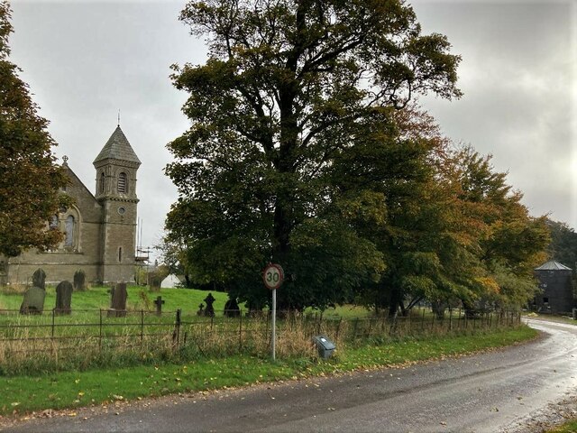
In addition to its natural beauty, The Dale is home to numerous cultural attractions and events. The market towns of Skipton and Richmond boast historic castles and vibrant markets, while the annual Yorkshire Dales Food and Drink Festival attracts visitors from far and wide.

Overall, The Dale, Yorkshire presents a captivating blend of natural wonders, charming villages, and cultural heritage, making it a must-visit destination for those seeking an authentic Yorkshire experience.

If you have any feedback on the listing, please let us know in the comments section below.
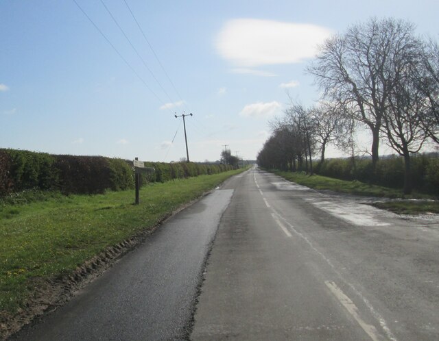
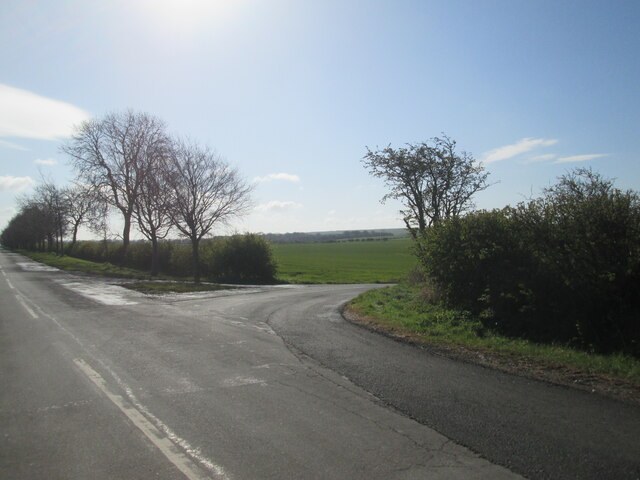
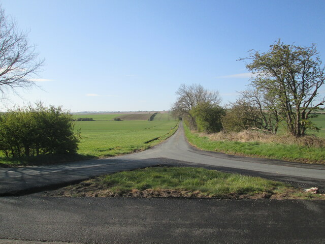
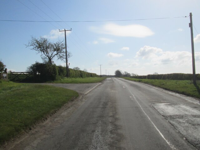
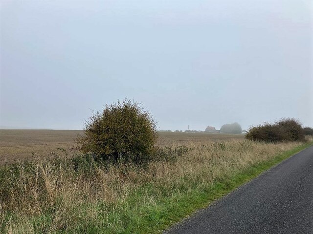
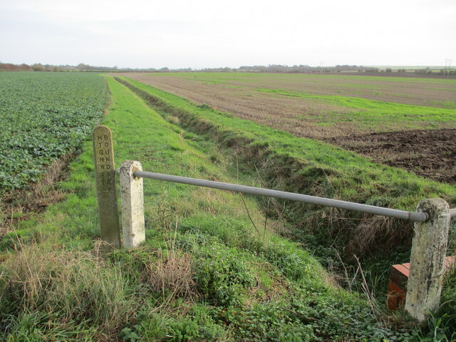
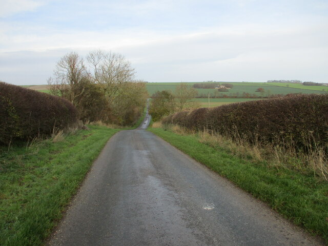
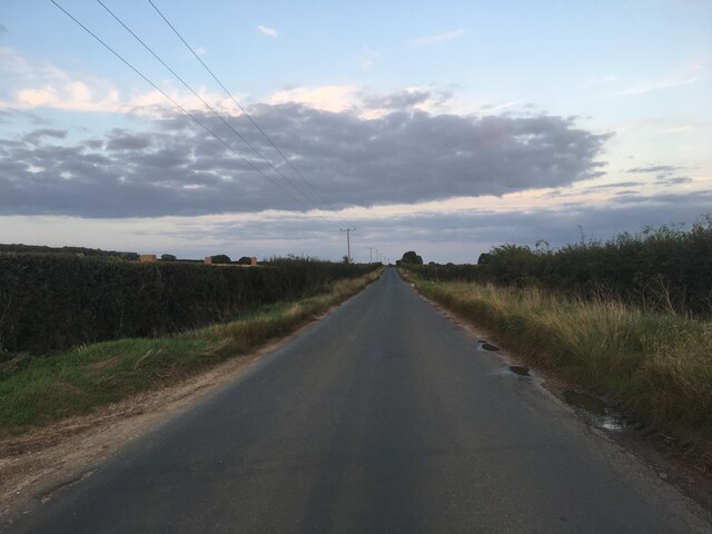
The Dale Images

Images are sourced within 2km of 54.14751/-0.45206862 or Grid Reference TA0173. Thanks to Geograph Open Source API. All images are credited.

The entrance to Boythorpe Farm
Track to Boythorpe
Track to Boythorpe
Road in Boythorpe National Cycle Network route 166 runs along here.
Road in Boythorpe
National Cycle Network route 166 runs along here.
Road at Boythorpe National Cycle Network route 166 runs along here.
Road at Boythorpe
National Cycle Network route 166 runs along here.
Minor  road  along  Foxholes  Bottom  toward  Wold  Newton Passing Skipper Lane junction
Minor road along Foxholes Bottom toward Wold Newton
Passing Skipper Lane junction
Entrance  to  Skipper  Lane
Entrance to Skipper Lane
Skipper  Lane  through  Foxholes  Bottom Goes up onto the Wold to either Thwing or Octon
Skipper Lane through Foxholes Bottom
Goes up onto the Wold to either Thwing or Octon
Approaching  access  road  to  Westfield  House On minor road toward Wold Newton
Approaching access road to Westfield House
On minor road toward Wold Newton
Dwellings in Foxholes Looking south from a position near the old Methodist chapel.
Dwellings in Foxholes
Looking south from a position near the old Methodist chapel.
Foxholes Village Green
Ganton Road in Foxholes The Church of St Mary (partially located over the grid line in TA0173) is on the left of picture.
Ganton Road in Foxholes
The Church of St Mary (partially located over the grid line in TA0173) is on the left of picture.
Farmland to the North of Foxholes Looking north from a field entrance by North Cotes Road.
Farmland to the North of Foxholes
Looking north from a field entrance by North Cotes Road.
Ploughed Field near Foxholes Pictured from the north east corner of the grid square this was a potato field although there was still a substantial number of tubers still lying on the ground amongst the chalk.
Ploughed Field near Foxholes
Pictured from the north east corner of the grid square this was a potato field although there was still a substantial number of tubers still lying on the ground amongst the chalk.
Fields Adjoining North Cotes Road Millhouse Farm can also be deciphered here on the horizon.
Fields Adjoining North Cotes Road
Millhouse Farm can also be deciphered here on the horizon.
Gypsey  Race  eastward  through  Foxholes  Bottom The Gypsey Race is the northernmost Chalk Stream and the only watercourse on the High Wolds. In dry weather it sinks into the chalk and looks like a dried up field drainage ditch, very wet it floods! This photo from the bridge on Skipper Lane which also shows the Highway Boundary post
Gypsey Race eastward through Foxholes Bottom
The Gypsey Race is the northernmost Chalk Stream and the only watercourse on the High Wolds. In dry weather it sinks into the chalk and looks like a dried up field drainage ditch, very wet it floods! This photo from the bridge on Skipper Lane which also shows the Highway Boundary post
Looking  back  into  Foxholes  Bottom  on  Skipper  Lane
Looking back into Foxholes Bottom on Skipper Lane
Minor road towards Wold Newton
Show me another place!

The Dale is located at Grid Ref: TA0173 (Lat: 54.14751, Lng: -0.45206862)

Division: East Riding

Administrative County: North Yorkshire

District: Ryedale

Police Authority: North Yorkshire

What 3 Words

///ranges.prospered.dizziness. Near Wold Newton, East Yorkshire

Nearby Locations

The Dale

Related Wikis

Foxholes, North Yorkshire

Foxholes is a village in North Yorkshire, England, part of the civil parish of Foxholes with Butterwick. It lies where the B1249 road crosses the Great...
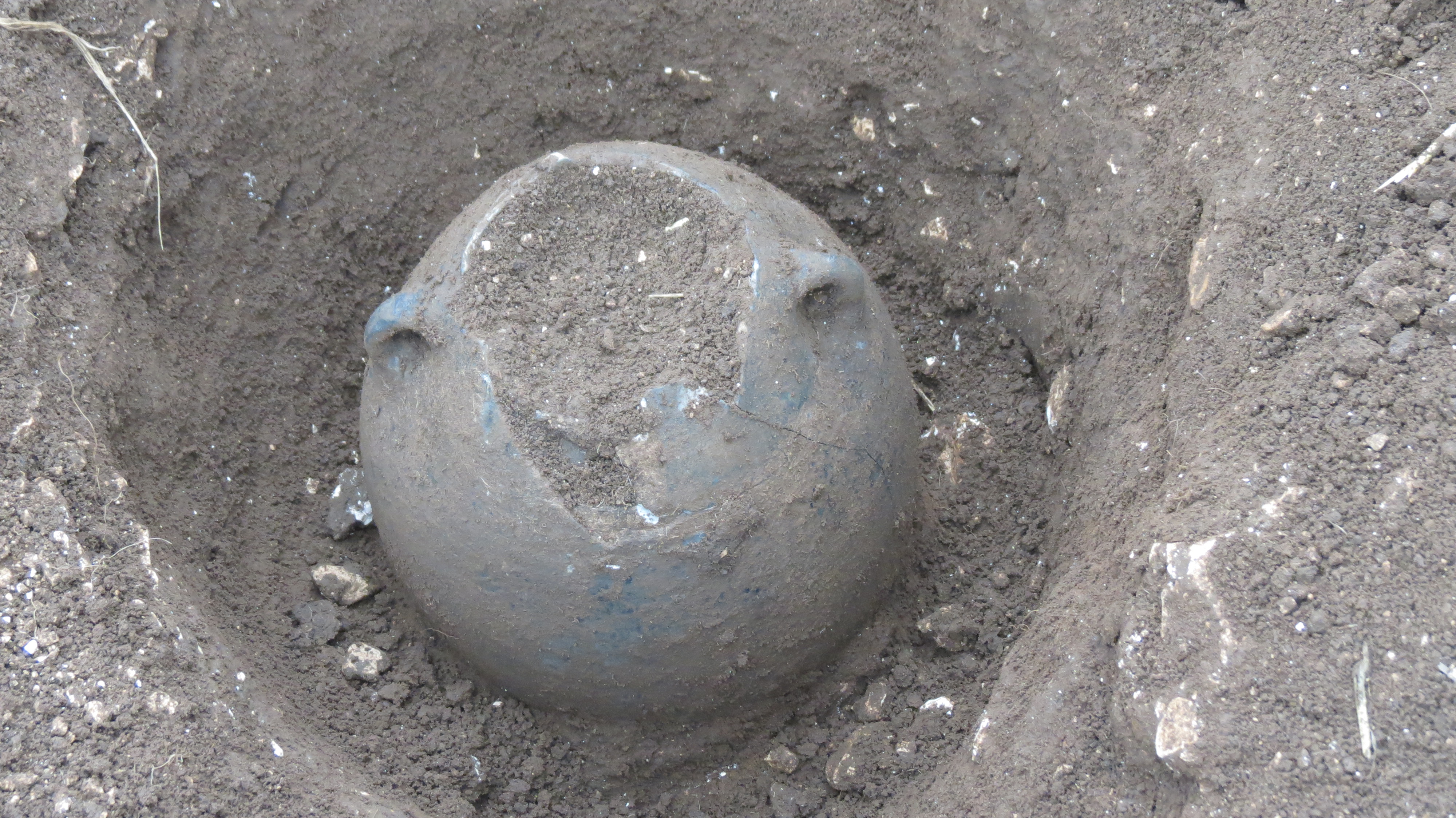
Wold Newton Hoard

The Wold Newton Hoard is a coin hoard dating from the early 4th century AD. It contains 1,857 coins held within a pottery container. It was acquired by...

Wold Cottage meteorite

The Wold Cottage meteorite (also called the Wold Newton meteorite) fell near Wold Cottage farm in 1795, a few miles away from the village of Wold Newton...

Butterwick, Foxholes

Butterwick is a village and former civil parish, now in the parish of Foxholes (1.75 miles (2.8 km) to the east, near the village of Weaverthorpe (2 miles...

Nearby Amenities

Located within 500m of 54.14751,-0.45206862
Telephone
Booth: K6
Covered: booth
Lat/Long: 54.1433318/-0.4521269
old chalk pit
Historic: quarry
Mineral: chalk
Source: NPE
Lat/Long: 54.1476091/-0.4516845
Post Box
Post Box Type: lamp
Ref: YO25 381
Royal Cypher: EIIR
Royal Cypher Wikidata: Q33102113
Lat/Long: 54.1443736/-0.4524402
Defibrillator
Defibrillator Location: outside Wilfred Scruton Ltd, Foxholes
Emergency: defibrillator
Indoor: no
Lat/Long: 54.1445057/-0.4521602
Design: h-frame
Line Management: termination
Material: wood
Power: tower
Transformer: distribution
Lat/Long: 54.1431989/-0.4533871
The data included in this document is from www.openstreetmap.org. The data is made available under ODbL.

Have you been to The Dale?

Leave your review of The Dale below (or comments, questions and feedback).