Blackmeredale Bottom
Valley in Yorkshire
England
Blackmeredale Bottom
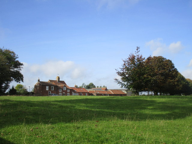
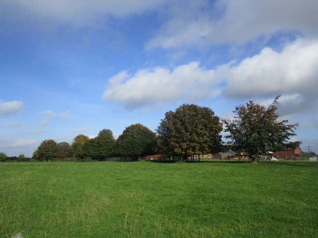
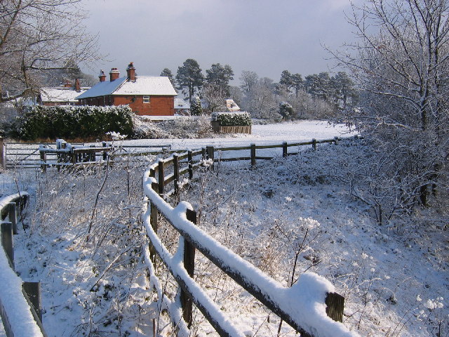
Blackmeredale Bottom is a picturesque valley located in Yorkshire, England. Nestled among the rolling hills and lush greenery, this charming valley offers a tranquil escape from the hustle and bustle of modern life.
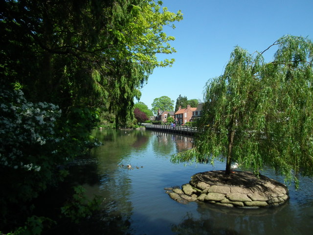
The valley is renowned for its natural beauty, with its winding streams, cascading waterfalls, and dense woodlands. The surrounding countryside is dotted with vibrant wildflowers, adding a splash of color to the landscape. The diverse ecosystem supports a variety of wildlife, making it a popular destination for nature enthusiasts and birdwatchers.
Blackmeredale Bottom is also home to several walking trails and hiking routes, attracting outdoor enthusiasts and adventurers. These paths meander through the valley, offering breathtaking views of the surrounding countryside and the opportunity to explore its hidden treasures.
The valley is rich in history and heritage, with remnants of ancient settlements and archaeological sites scattered throughout the area. Visitors can discover the remnants of old stone cottages, ancient burial mounds, and other historical landmarks, providing a glimpse into the valley's storied past.
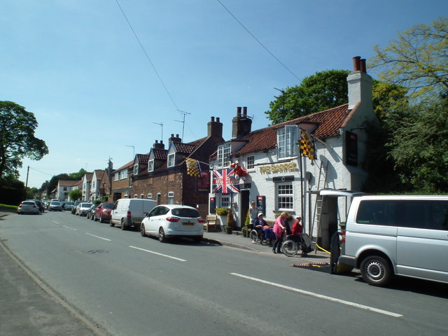
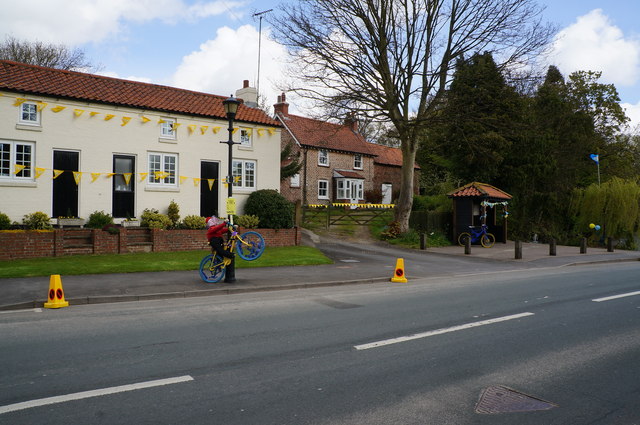
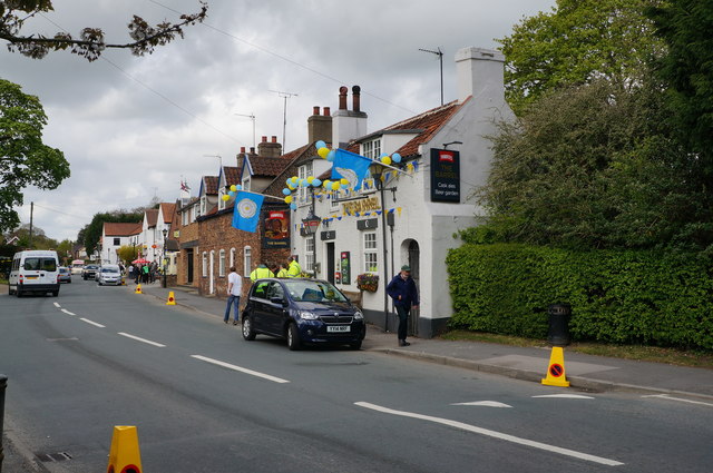
For those seeking a peaceful retreat, Blackmeredale Bottom offers a range of accommodations, including cozy bed and breakfasts and charming country inns. These establishments provide a warm and welcoming atmosphere, allowing visitors to relax and immerse themselves in the natural beauty of the valley.
In conclusion, Blackmeredale Bottom is a captivating valley in Yorkshire, offering a harmonious blend of natural splendor, outdoor activities, and historical significance. Whether you're seeking adventure, relaxation, or a deeper connection with nature, this idyllic valley has something to offer everyone.
If you have any feedback on the listing, please let us know in the comments section below.
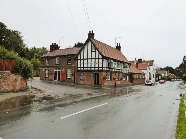
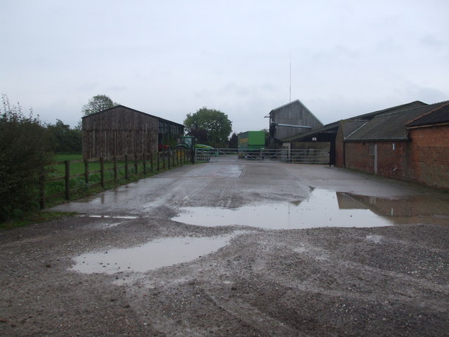
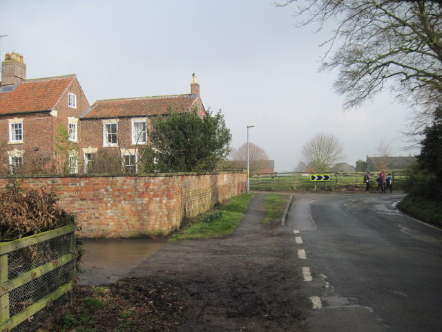
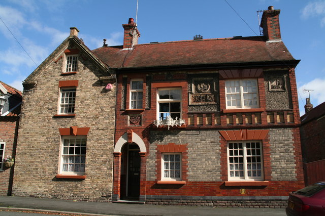
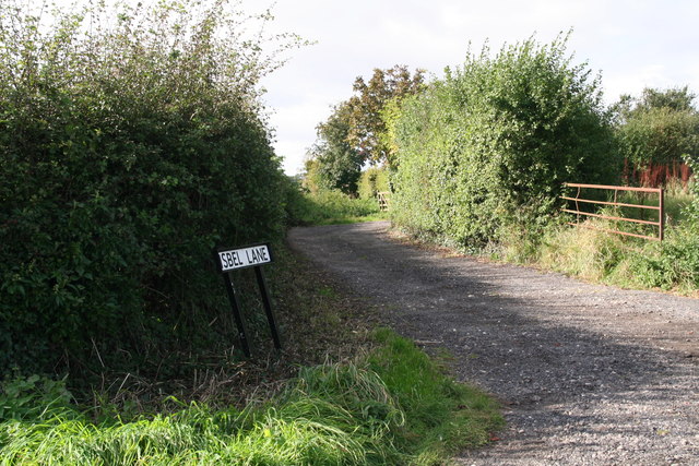
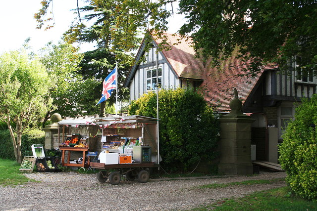
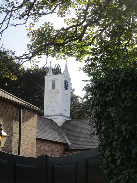
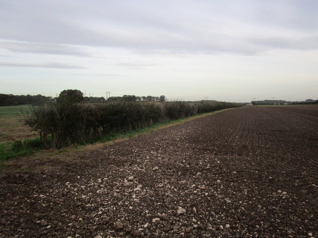
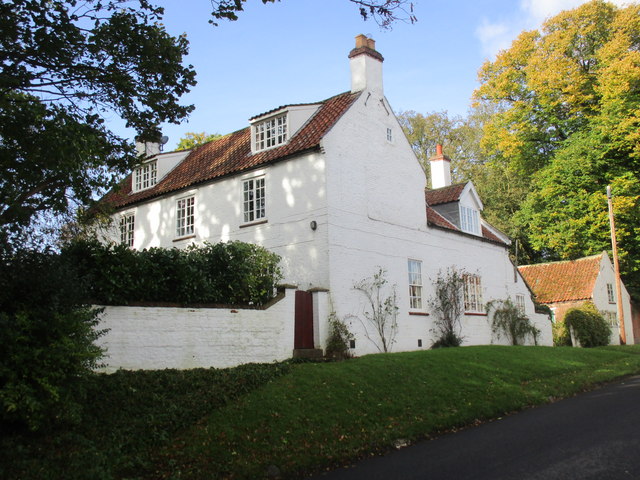
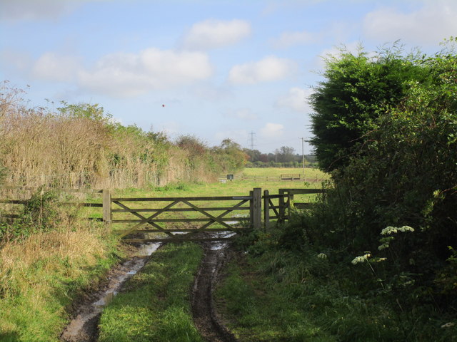
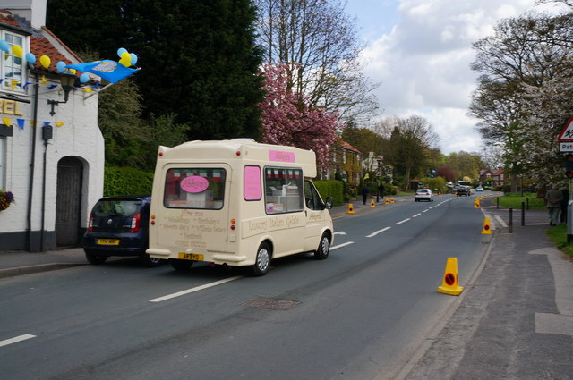
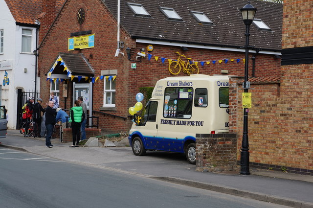
Blackmeredale Bottom Images
Images are sourced within 2km of 53.831823/-0.46496331 or Grid Reference TA0138. Thanks to Geograph Open Source API. All images are credited.
Blackmeredale Bottom is located at Grid Ref: TA0138 (Lat: 53.831823, Lng: -0.46496331)
Division: East Riding
Unitary Authority: East Riding of Yorkshire
Police Authority: Humberside
What 3 Words
///grades.sorters.conjured. Near Walkington, East Yorkshire
Nearby Locations
Related Wikis
Broadgate, East Riding of Yorkshire
Broadgate is a housing estate close to the village of Walkington, England. It is situated approximately 2 miles (3 km) to the south-west of the market...
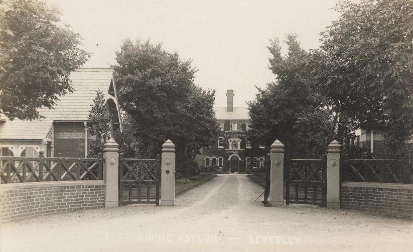
Broadgate Hospital
Broadgate Hospital was a mental health facility to the east of Walkington, East Riding of Yorkshire, England. == History == The hospital was located on...
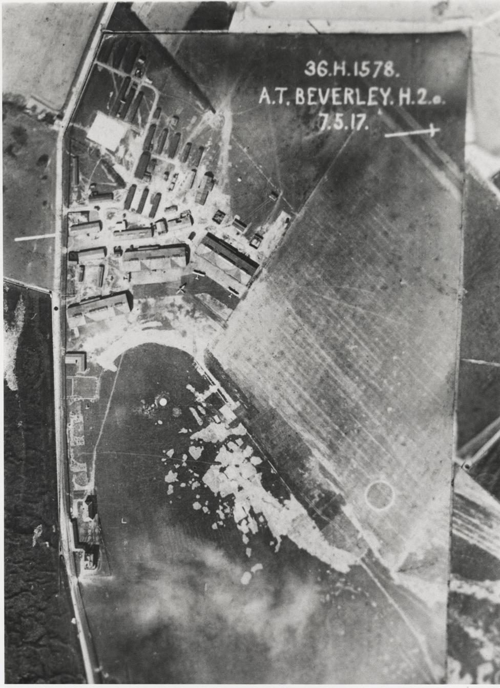
Beverley Aerodrome
Beverley Aerodrome, was a First World War era Royal Flying Corps training depot (No. 36), in Bishop Burton, East Riding of Yorkshire, England. The site...

Beverley Folk Festival
The Beverley Folk Festival is a three-day celebration of folk music, art, comedy and spoken word held in Beverley, East Riding of Yorkshire, England. It...
Related Videos

Relaxing Hiking Video for Sleep - Wandering Around The Countryside of Beverley, East Yorkshire
Welcome to the first video on this channel! Join me as I walk around Beverley, East Yorkshire as I follow the Beverley Beck up to ...

#3 SHORT | BEAUTIFUL SUNSET @ BEVERLY ROAD, UK
sunset #sunsetview #Beverlywestwooduk #bengzinspirationalquotesmixtv #3short Beautiful Sunset at Beverly Town, UK.


Robin Hood's Bay #seaside #beach⛱️ #yorkshire#walk #daytrip #walking #explore #touristplace
Aquint little seaside village situated between Witby and Scarborough in East Yorkshire..
Nearby Amenities
Located within 500m of 53.831823,-0.46496331Have you been to Blackmeredale Bottom?
Leave your review of Blackmeredale Bottom below (or comments, questions and feedback).