Old Dale

Valley in Yorkshire Ryedale

England

Old Dale

East Riding Crematorium at Octon Parking attendants directing vehicles between services.
East Riding Crematorium at Octon Credit: Jonathan Clitheroe

Old Dale is a picturesque village located in the heart of Yorkshire Valley, England. Nestled amidst rolling hills and lush greenery, this idyllic settlement offers a serene and charming atmosphere to its residents and visitors alike. The village is situated approximately 10 miles west of the bustling town of Harrogate.

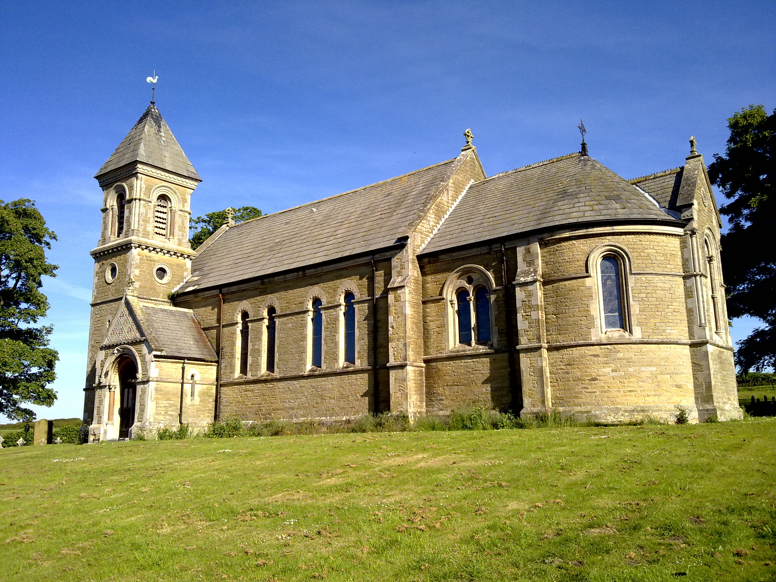
The history of Old Dale dates back centuries, with evidence of human settlement as early as the medieval period. The village retains its rustic charm, with quaint stone cottages lining its narrow streets. The local church, St. Mary's, stands as a prominent landmark, showcasing stunning architecture that reflects the village's rich heritage.

Surrounded by the beauty of the Yorkshire Dales National Park, Old Dale is a haven for nature enthusiasts and outdoor adventurers. The rolling hills provide ample opportunities for scenic hikes, with breathtaking views of the valley and its meandering river. The village is also home to several well-maintained footpaths and bridleways, making it an ideal destination for walkers and cyclists.

The community of Old Dale is close-knit and welcoming, with a small population that fosters a strong sense of community spirit. The village boasts a handful of charming local businesses, including a traditional pub and a cozy tearoom, where visitors can enjoy a taste of Yorkshire's renowned hospitality.

Overall, Old Dale offers a peaceful retreat from the hustle and bustle of modern life, allowing visitors to immerse themselves in the natural beauty and tranquility of this quintessential Yorkshire village.

If you have any feedback on the listing, please let us know in the comments section below.
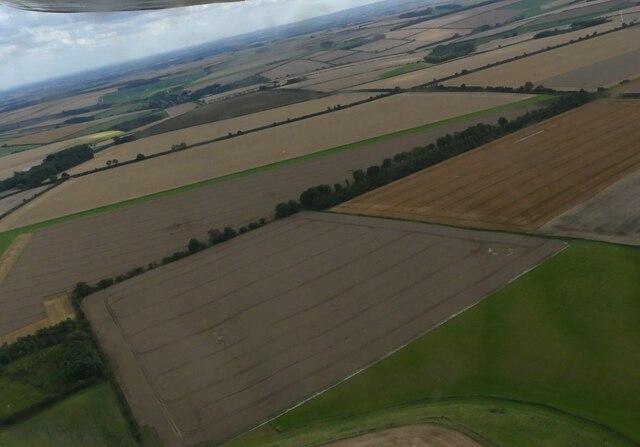
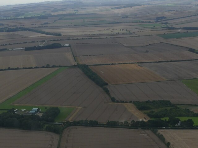
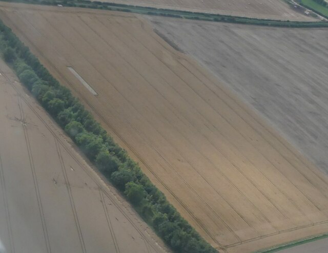
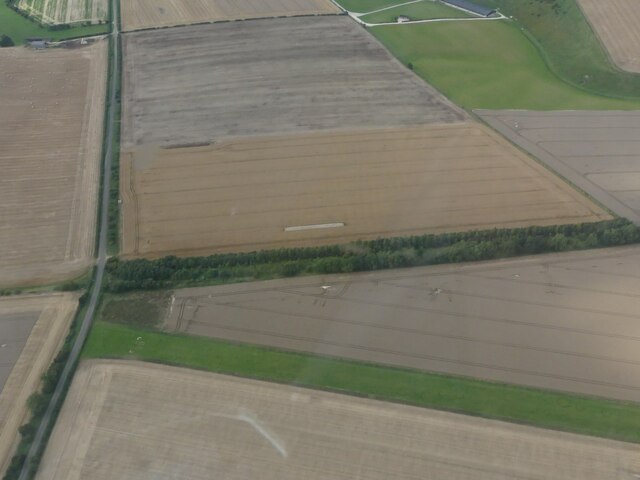
Old Dale Images

Images are sourced within 2km of 54.116814/-0.47882441 or Grid Reference SE9970. Thanks to Geograph Open Source API. All images are credited.

East Riding Crematorium at Octon Parking attendants directing vehicles between services.
East Riding Crematorium at Octon
Parking attendants directing vehicles between services.
Farm near Octon Crossroads: aerial 2023 Dale Plantation top right.
Farm near Octon Crossroads: aerial 2023
Dale Plantation top right.
Earthwork from Octon to Sledmere: aerial 2023 (1)  North of Eddsfield Airfield.
Earthwork from Octon to Sledmere: aerial 2023 (1)
North of Eddsfield Airfield.
Earthwork from Octon to Sledmere: aerial 2023 (2) North of Eddsfield Airfield.
Earthwork from Octon to Sledmere: aerial 2023 (2)
North of Eddsfield Airfield.
Earthwork from Octon to Sledmere: aerial 2023 (3) North of Eddsfield Airfield (left).
Earthwork from Octon to Sledmere: aerial 2023 (3)
North of Eddsfield Airfield (left).
Earthwork from Octon to Sledmere: aerial 2023 (4) North of Eddsfield Airfield.
Earthwork from Octon to Sledmere: aerial 2023 (4)
North of Eddsfield Airfield.
Earthwork from Octon to Sledmere: aerial 2023 (5) North of (and converging with) the airstrip at Eddsfield Airfield.
Earthwork from Octon to Sledmere: aerial 2023 (5)
North of (and converging with) the airstrip at Eddsfield Airfield.
Butterwick Road towards Butterwick
An old water pump at Butterwick
Entering Butterwick
Entering Butterwick
The farm road to Spaniel Farm
Sheep and tracks at Butterwick Whins All the tracks lead to the gate in the corner.
Sheep and tracks at Butterwick Whins
All the tracks lead to the gate in the corner.
Paddock next to East End Farm, Butterwick
East End Farm and Lord's River The dry stream bed between the grassy banks outside the farm is rather grandly named "Lord's River", but looking further upstream it is labelled "Gypsey Race".
Gypsey springs are watercourses which are intermittent and irregular. They are found all over the Yorkshire Wolds, the best known being The Gypsey Race which passes through the Great Wold Valley.
These intermittent and irregular watercourses are believed to be affected by a siphoning action in underground reservoirs and can come into flood apparently regardless of recent rainfall in the local vicinity. This seemingly magical property is thought to be responsible for the number of significant neolithic sites along the course of The Gypsey Race in the Great Wold Valley (<span class="nowrap"><a title="http://en.wikipedia.org/wiki/Great_Wold_Valley" rel="nofollow ugc noopener" href="http://en.wikipedia.org/wiki/Great_Wold_Valley">Link</a><img style="margin-left:2px;" alt="External link" title="External link - shift click to open in new window" src="https://s1.geograph.org.uk/img/external.png" width="10" height="10"/></span> ).
East End Farm and Lord's River
The dry stream bed between the grassy banks outside the farm is rather grandly named "Lord's River", but looking further upstream it is labelled "Gypsey Race". Gypsey springs are watercourses which are intermittent and irregular. They are found all over the Yorkshire Wolds, the best known being The Gypsey Race which passes through the Great Wold Valley. These intermittent and irregular watercourses are believed to be affected by a siphoning action in underground reservoirs and can come into flood apparently regardless of recent rainfall in the local vicinity. This seemingly magical property is thought to be responsible for the number of significant neolithic sites along the course of The Gypsey Race in the Great Wold Valley (LinkExternal link ).
Letter box and phone in Butterwick
Crossroads in Butterwick
Pallets in a yard at Butterwick
Field margin west of Glebe Farm
Show me another place!

Old Dale is located at Grid Ref: SE9970 (Lat: 54.116814, Lng: -0.47882441)

Division: East Riding

Administrative County: North Yorkshire

District: Ryedale

Police Authority: North Yorkshire

What 3 Words

///rant.scaffold.paler. Near Wold Newton, East Yorkshire

Nearby Locations

Stone Pillar Hill Old Dale

Related Wikis

Butterwick, Foxholes

Butterwick is a village and former civil parish, now in the parish of Foxholes (1.75 miles (2.8 km) to the east, near the village of Weaverthorpe (2 miles...

Foxholes, North Yorkshire

Foxholes is a village in North Yorkshire, England, part of the civil parish of Foxholes with Butterwick. It lies where the B1249 road crosses the Great...

Weaverthorpe

Weaverthorpe is a village and civil parish in North Yorkshire, England. It is 13 miles (21 km) south-west of Scarborough. == History == Bronze Age settlements...

Langtoft, East Riding of Yorkshire

Langtoft is a small village and civil parish in the East Riding of Yorkshire, England. It is situated 6 miles (10 km) north of Driffield town centre, and...

Nearby Amenities

Located within 500m of 54.116814,-0.47882441
Stone Pillar Hill
Place: locality
Lat/Long: 54.1206793/-0.4754731
Material: wood
Power: pole
Lat/Long: 54.1208275/-0.4790363
Material: wood
Power: pole
Lat/Long: 54.1201056/-0.4782111
Material: wood
Power: pole
Lat/Long: 54.1193583/-0.4773615
Material: wood
Power: pole
Lat/Long: 54.1184321/-0.4763131
Material: wood
Power: pole
Lat/Long: 54.1177482/-0.475518
Material: wood
Power: pole
Lat/Long: 54.1171801/-0.4748881
Material: wood
Power: pole
Lat/Long: 54.1164618/-0.4740665
Material: wood
Power: pole
Lat/Long: 54.1157385/-0.4732518
Material: wood
Power: pole
Lat/Long: 54.1149624/-0.4723699
The data included in this document is from www.openstreetmap.org. The data is made available under ODbL.

Have you been to Old Dale?

Leave your review of Old Dale below (or comments, questions and feedback).