Owlet Dale
Valley in Yorkshire Ryedale
England
Owlet Dale
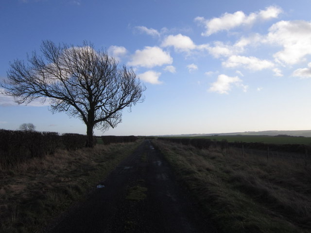
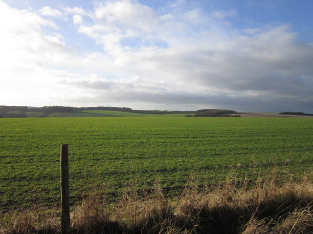
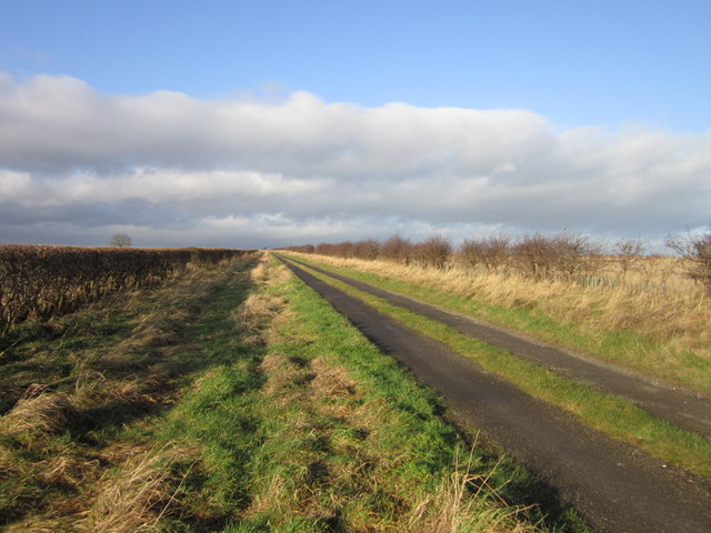
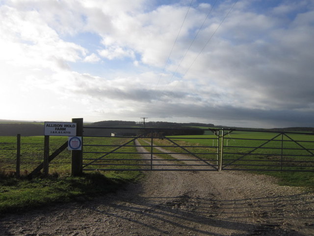
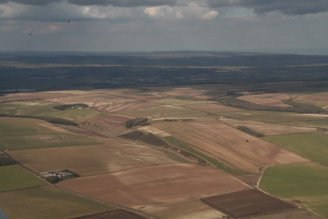
Owlet Dale is a picturesque valley located in Yorkshire, England. The valley is characterized by rolling hills, lush greenery, and a meandering river that runs through its center. The area is known for its stunning natural beauty and tranquil atmosphere, making it a popular destination for hikers and nature enthusiasts.
Owlet Dale is home to a variety of wildlife, including deer, foxes, and a wide range of bird species. The valley is also dotted with charming villages and historic buildings, adding to its charm and appeal.
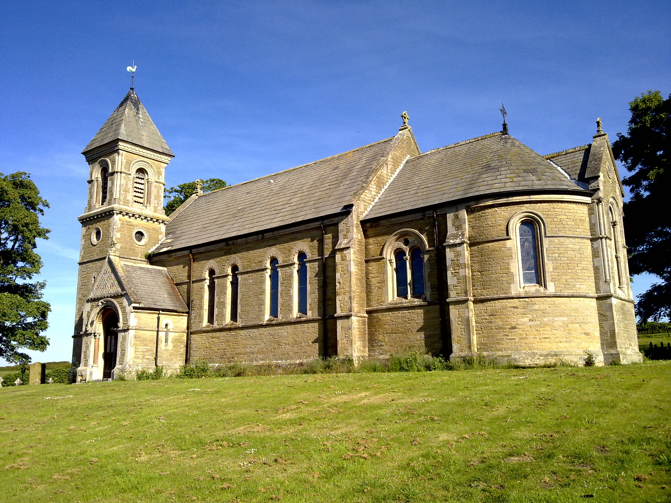
In addition to its natural beauty, Owlet Dale is also known for its rich history. The valley has a number of archaeological sites dating back to Roman times, providing a fascinating glimpse into the area's past.
Overall, Owlet Dale is a hidden gem in Yorkshire, offering visitors a peaceful retreat from the hustle and bustle of everyday life. Whether you're looking to explore the great outdoors, soak up some history, or simply relax in a stunning natural setting, Owlet Dale has something for everyone.
If you have any feedback on the listing, please let us know in the comments section below.
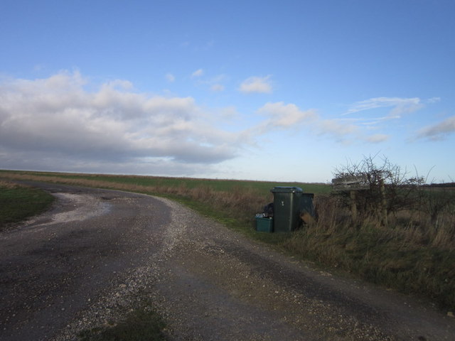
Owlet Dale Images
Images are sourced within 2km of 54.156932/-0.48115163 or Grid Reference SE9974. Thanks to Geograph Open Source API. All images are credited.


Owlet Dale is located at Grid Ref: SE9974 (Lat: 54.156932, Lng: -0.48115163)
Division: East Riding
Administrative County: North Yorkshire
District: Ryedale
Police Authority: North Yorkshire
What 3 Words
///gain.brink.pumpkin. Near Wold Newton, East Yorkshire
Nearby Locations
Related Wikis

Potter Brompton
Potter Brompton is a small village in the English county of North Yorkshire, on the A64 road from Malton to Scarborough. The village is situated just a...
Foxholes, North Yorkshire
Foxholes is a village in North Yorkshire, England, part of the civil parish of Foxholes with Butterwick. It lies where the B1249 road crosses the Great...

Ganton
Ganton is a village and civil parish in North Yorkshire, England. It is situated on the south side of the Vale of Pickering immediately north of the Yorkshire...

Butterwick, Foxholes
Butterwick is a village and former civil parish, now in the parish of Foxholes (1.75 miles (2.8 km) to the east, near the village of Weaverthorpe (2 miles...
Nearby Amenities
Located within 500m of 54.156932,-0.48115163Have you been to Owlet Dale?
Leave your review of Owlet Dale below (or comments, questions and feedback).