The Coombe
Valley in Buckinghamshire
England
The Coombe
The Coombe, located in Buckinghamshire, England, is a picturesque valley renowned for its natural beauty and historic significance. Nestled amidst the Chiltern Hills, this enchanting valley offers a serene escape from the hustle and bustle of city life.
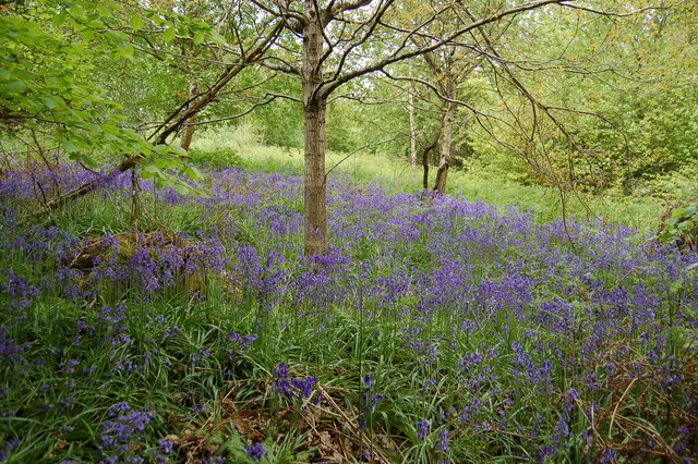
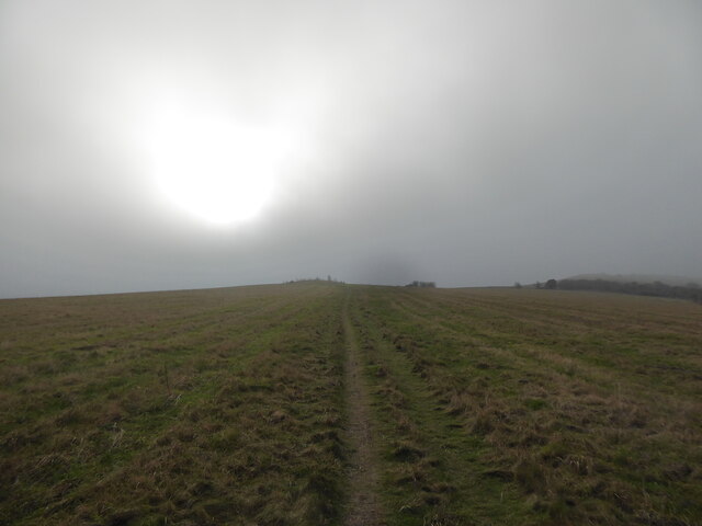
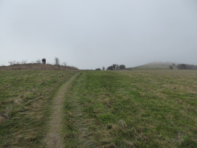
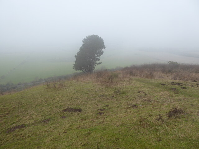
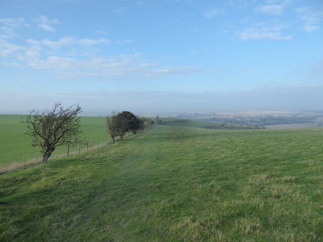
The Coombe is characterized by its rolling hills, lush green meadows, and dense woodlands. The landscape is adorned with a diverse range of flora and fauna, making it a haven for nature lovers and wildlife enthusiasts. The valley is particularly famous for its vibrant bluebell displays during the springtime, attracting visitors from far and wide.
Historically, The Coombe played a crucial role in the region's industrial past. It was home to numerous watermills, which harnessed the power of the nearby river to grind flour and produce paper. The remnants of these mills can still be seen today, adding a touch of historical charm to the valley.
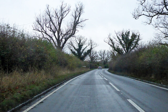
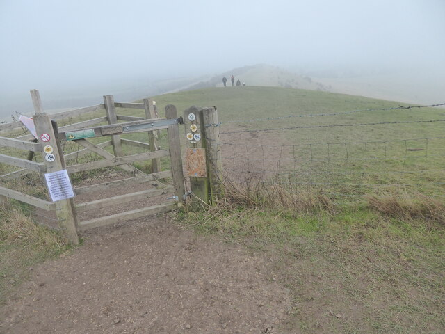
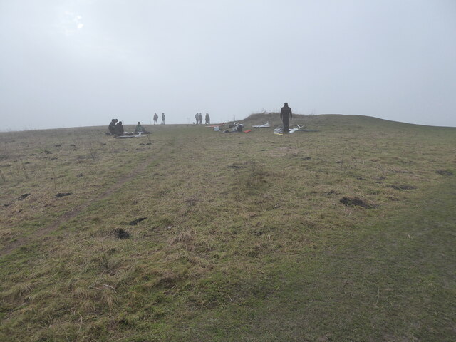
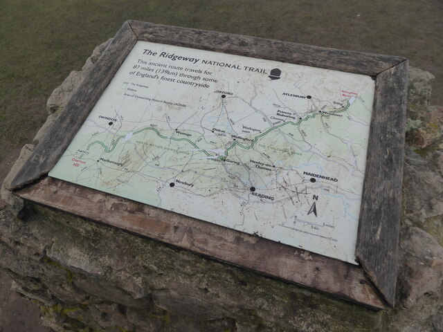
The Coombe offers a range of recreational activities for visitors to enjoy. There are several walking and cycling trails that meander through the valley, providing stunning views and opportunities to explore the surrounding countryside. Additionally, the river that runs through The Coombe allows for fishing and boating activities.
The Coombe, Buckinghamshire, is a hidden gem that showcases the natural beauty and rich history of the area. Whether it's a leisurely stroll through the bluebell-filled meadows or an adventurous hike along the scenic trails, The Coombe offers a delightful experience for all who visit.
If you have any feedback on the listing, please let us know in the comments section below.
The Coombe Images
Images are sourced within 2km of 51.831985/-0.59655325 or Grid Reference SP9615. Thanks to Geograph Open Source API. All images are credited.


The Coombe is located at Grid Ref: SP9615 (Lat: 51.831985, Lng: -0.59655325)
Unitary Authority: Buckinghamshire
Police Authority: Thames Valley
What 3 Words
///yoga.cubic.courtyard. Near Ivinghoe, Buckinghamshire
Nearby Locations
Related Wikis
Ivinghoe Hills
Ivinghoe Hills is a 210.4 hectares (520 acres) Site of Special Scientific Interest in Ivinghoe in Buckinghamshire, and part of the Chilterns Area of Outstanding...
Ivinghoe Beacon
Ivinghoe Beacon is a prominent hill and landmark in Buckinghamshire, England, 233 m (757 ft) above sea level in the Chiltern Hills, close to Ivinghoe and...
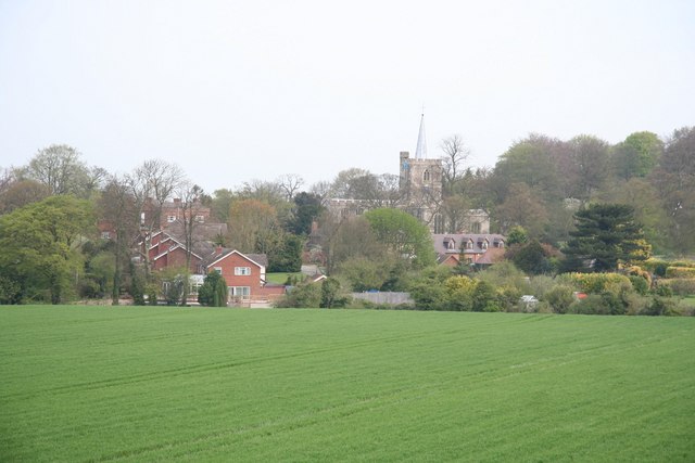
Ivinghoe
Ivinghoe is a village and civil parish in east Buckinghamshire, England, close to the borders with Hertfordshire and Bedfordshire. It is 33 miles (53...
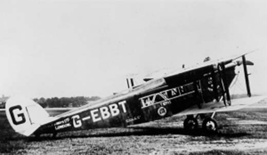
1923 Daimler Airway de Havilland DH.34 crash
The 1923 Daimler Airway de Havilland DH.34 crash occurred on 14 September 1923 when a de Havilland DH.34 of Daimler Airway operating a scheduled domestic...
Nearby Amenities
Located within 500m of 51.831985,-0.59655325Have you been to The Coombe?
Leave your review of The Coombe below (or comments, questions and feedback).